Smith Peak Lookout - FS 1S16
Total Miles
2.4
Technical Rating
Best Time
Summer, Fall
Trail Type
Full-Width Road
Accessible By
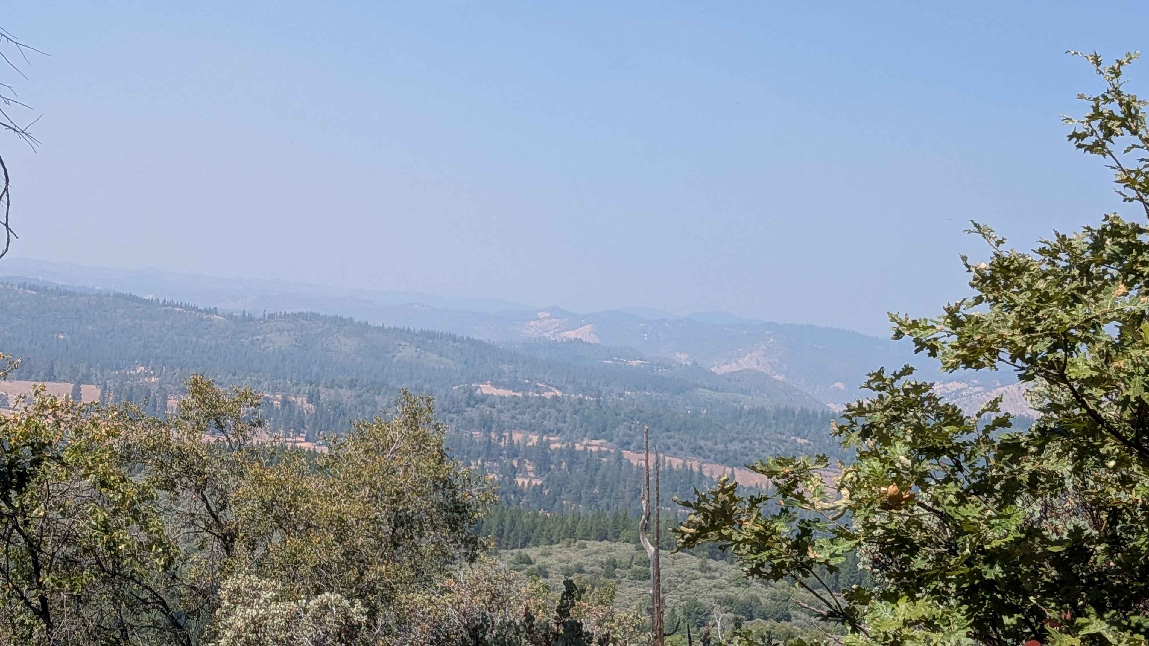
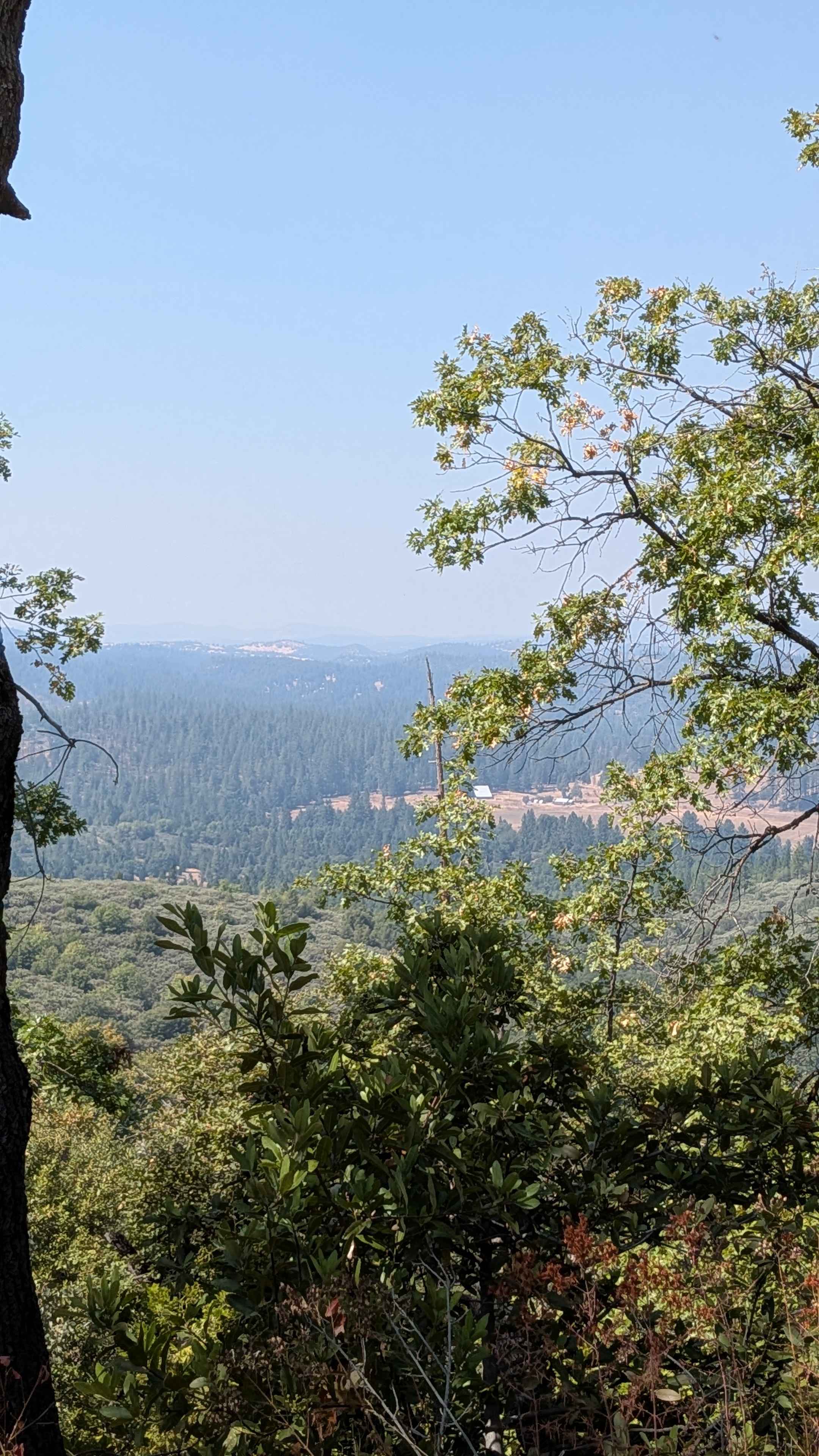
Trail Overview
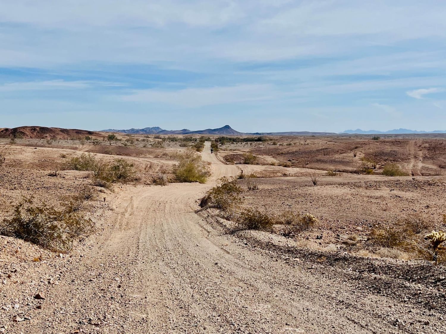
This trail climbs almost 500 feet in just under 3 miles, though the entrance on the Smith Station side is now closed due to private land restrictions. Access is available behind the Groveland Ranger Station at the Pines Campground, transforming this into an out-and-back trail configuration unless you take another trail down to Smith Station Road. The compact sand surface can become dusty, and hikers frequently use this route, requiring awareness and courtesy from vehicle operators. Small ruts from drainage create minor obstacles that need attention but remain manageable with careful navigation. The trail maintains a width of 1.5 to 2 vehicles and runs along a shelf road as it climbs through the canyon, providing scenic exposure and views during the ascent. This route provides access to the Smith Peak Lookout, winding back and forth along longer shelf road sections over the canyon through thick forest terrain. Some off-camber sections and humps add technical elements that require careful vehicle placement and speed control. One large rock under 12 inches sits in the middle of the trail, requiring drivers to navigate around or over this obstacle. The trail continues for another mile past the entry to the lookout area and terminates at a locked gate. However, the road leading up to Smith Peak Lookout itself can be locked, requiring visitors to walk the remainder of the distance to reach the actual lookout facility.
Photos of Smith Peak Lookout - FS 1S16
Difficulty
This trail receives a difficulty rating of 2, indicating moderate conditions suitable for most high-clearance vehicles and drivers with basic off-road experience. The shelf road sections, off-camber areas, and various small obstacles require attention but remain manageable for beginner drivers.
History
The history of the Smith Peak lookout began around 1910, when it was used as a fire lookout, with a permanent wooden tower built in 1931 as an administrative site. A metal tower and garage were added in 1952, but the original tower was destroyed by the 1987 Stanislaus Complex Fire and rebuilt in 1988. It is currently staffed every summer and is on the National Historic Lookout Register (NHLR).
Status Reports
Smith Peak Lookout - FS 1S16 can be accessed by the following ride types:
- High-Clearance 4x4
- SUV
Smith Peak Lookout - FS 1S16 Map
Popular Trails
Mammoth Lakes Overlook
Lower Blythe Olgilby
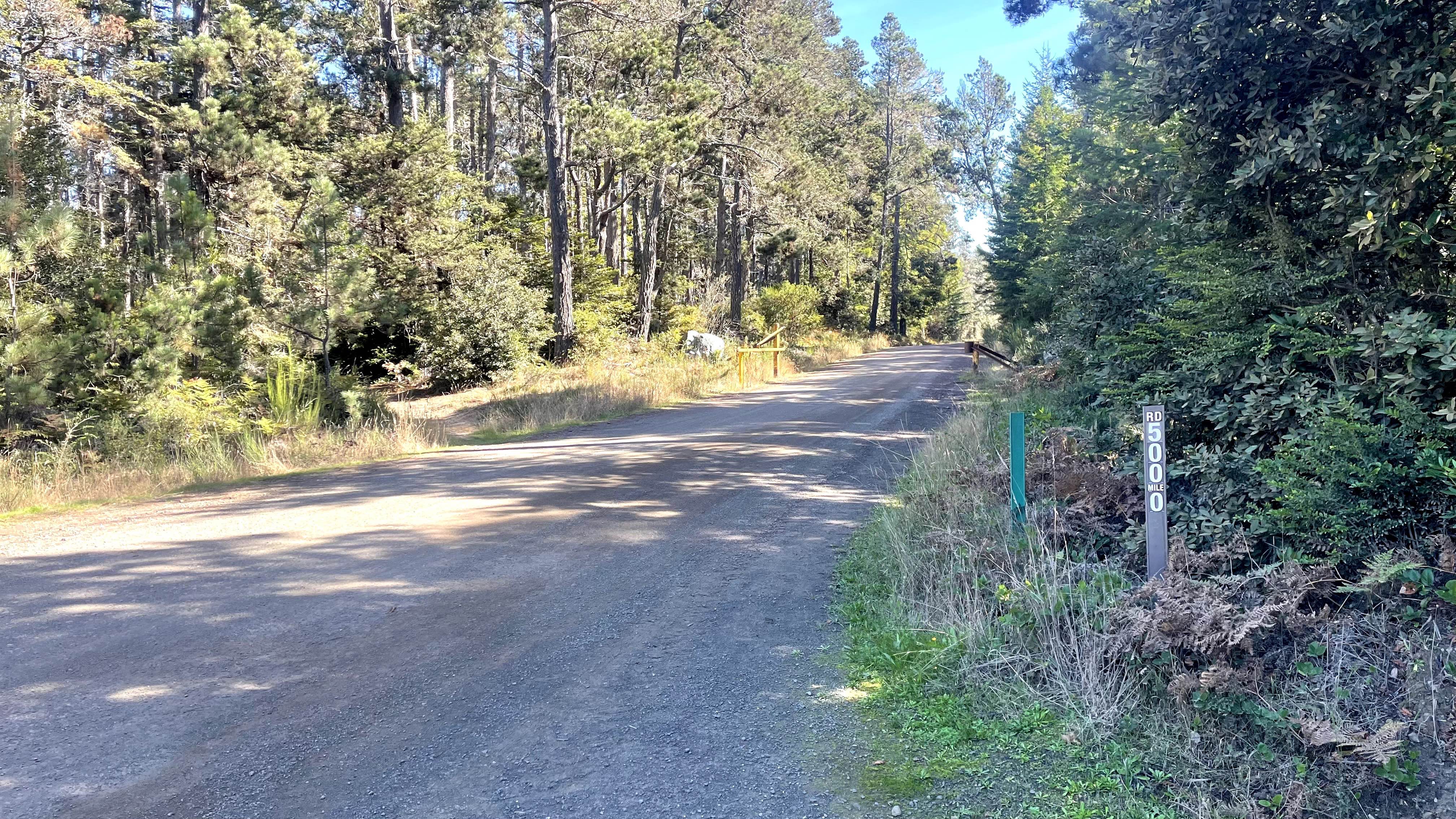
Mendocino County Road 500
The onX Offroad Difference
onX Offroad combines trail photos, descriptions, difficulty ratings, width restrictions, seasonality, and more in a user-friendly interface. Available on all devices, with offline access and full compatibility with CarPlay and Android Auto. Discover what you’re missing today!