Off-Road Trails in Texas
Discover off-road trails in Texas
Learn more about Bar T Spur
Bar T Spur
Total Miles
0.1
Tech Rating
Easy
Best Time
Spring, Summer, Fall, Winter
Learn more about Bar T Trail
Bar T Trail
Total Miles
0.2
Tech Rating
Easy
Best Time
Spring, Summer, Fall, Winter
Learn more about Bastrop State Park Backroads
Bastrop State Park Backroads
Total Miles
18.7
Tech Rating
Easy
Best Time
Spring, Summer, Fall, Winter
Learn more about BBRSP - Guale Mesa Road
BBRSP - Guale Mesa Road
Total Miles
6.0
Tech Rating
Easy
Best Time
Spring, Summer, Fall, Winter
Learn more about BBRSP - Las Burras Loop
BBRSP - Las Burras Loop
Total Miles
4.1
Tech Rating
Easy
Best Time
Spring, Summer, Fall, Winter
Learn more about BBRSP - Las Burras Road
BBRSP - Las Burras Road
Total Miles
5.6
Tech Rating
Easy
Best Time
Spring, Summer, Fall, Winter
Learn more about BBRSP - Los Alamos Road
BBRSP - Los Alamos Road
Total Miles
7.5
Tech Rating
Easy
Best Time
Spring, Summer, Fall, Winter
Learn more about BBRSP - Oso Loop
BBRSP - Oso Loop
Total Miles
5.9
Tech Rating
Easy
Best Time
Spring, Summer, Fall, Winter
Learn more about BBRSP - Rancherias Loop Road
BBRSP - Rancherias Loop Road
Total Miles
7.7
Tech Rating
Easy
Best Time
Spring, Summer, Winter, Fall
Learn more about BBRSP - Solitario Road
BBRSP - Solitario Road
Total Miles
8.2
Tech Rating
Easy
Best Time
Spring, Summer, Fall, Winter
Learn more about BBRSP - Tres Papalotes Tanks Road
BBRSP - Tres Papalotes Tanks Road
Total Miles
3.6
Tech Rating
Easy
Best Time
Spring, Summer, Fall, Winter
Learn more about BBRSP Casa Ramon Trail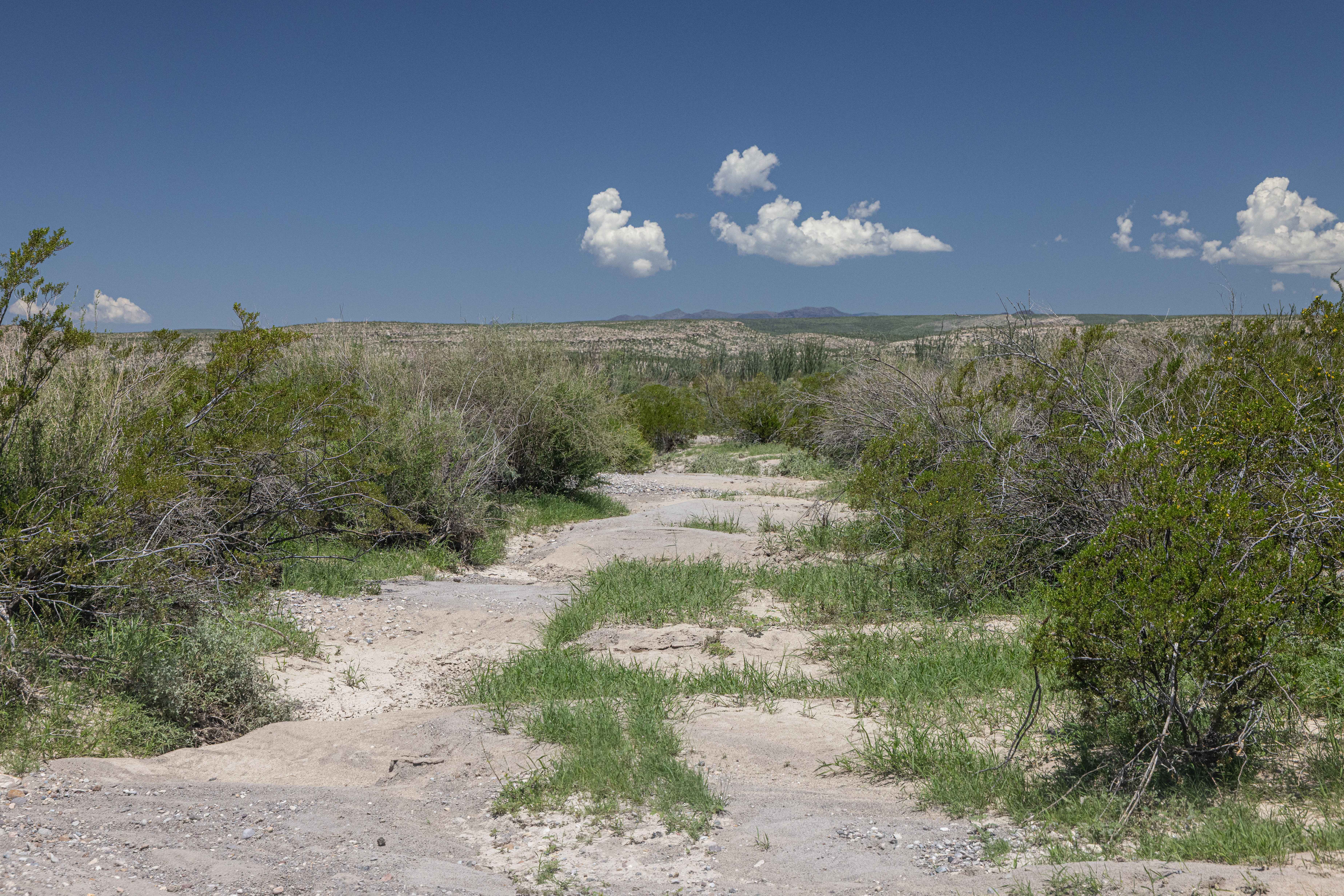
BBRSP Casa Ramon Trail
Total Miles
5.6
Tech Rating
Easy
Best Time
Spring, Summer, Fall, Winter
Learn more about BBRSP Cat Spring Road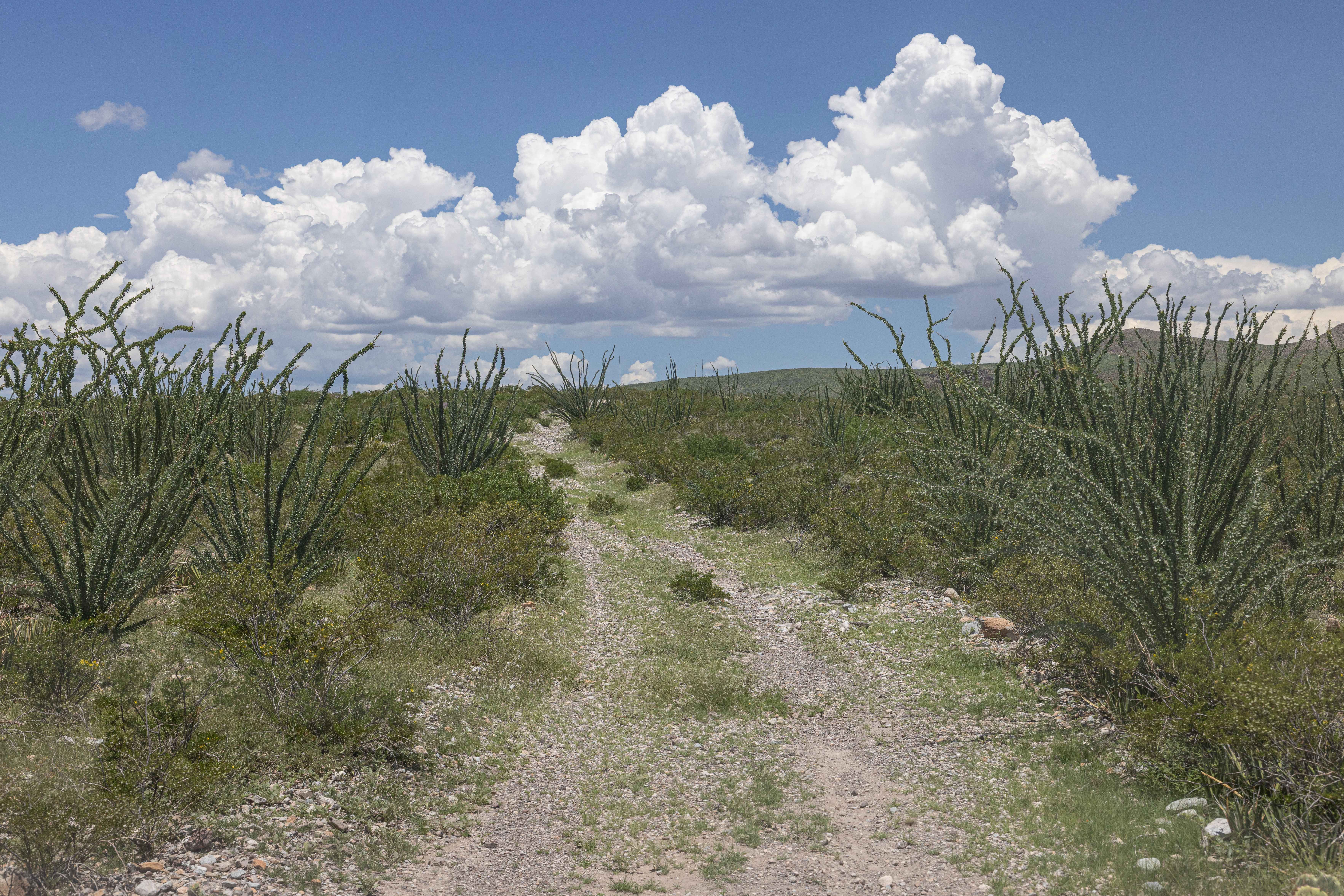
BBRSP Cat Spring Road
Total Miles
5.4
Tech Rating
Easy
Best Time
Summer, Fall, Winter
Learn more about BBRSP Cerro Prietto Windmill Road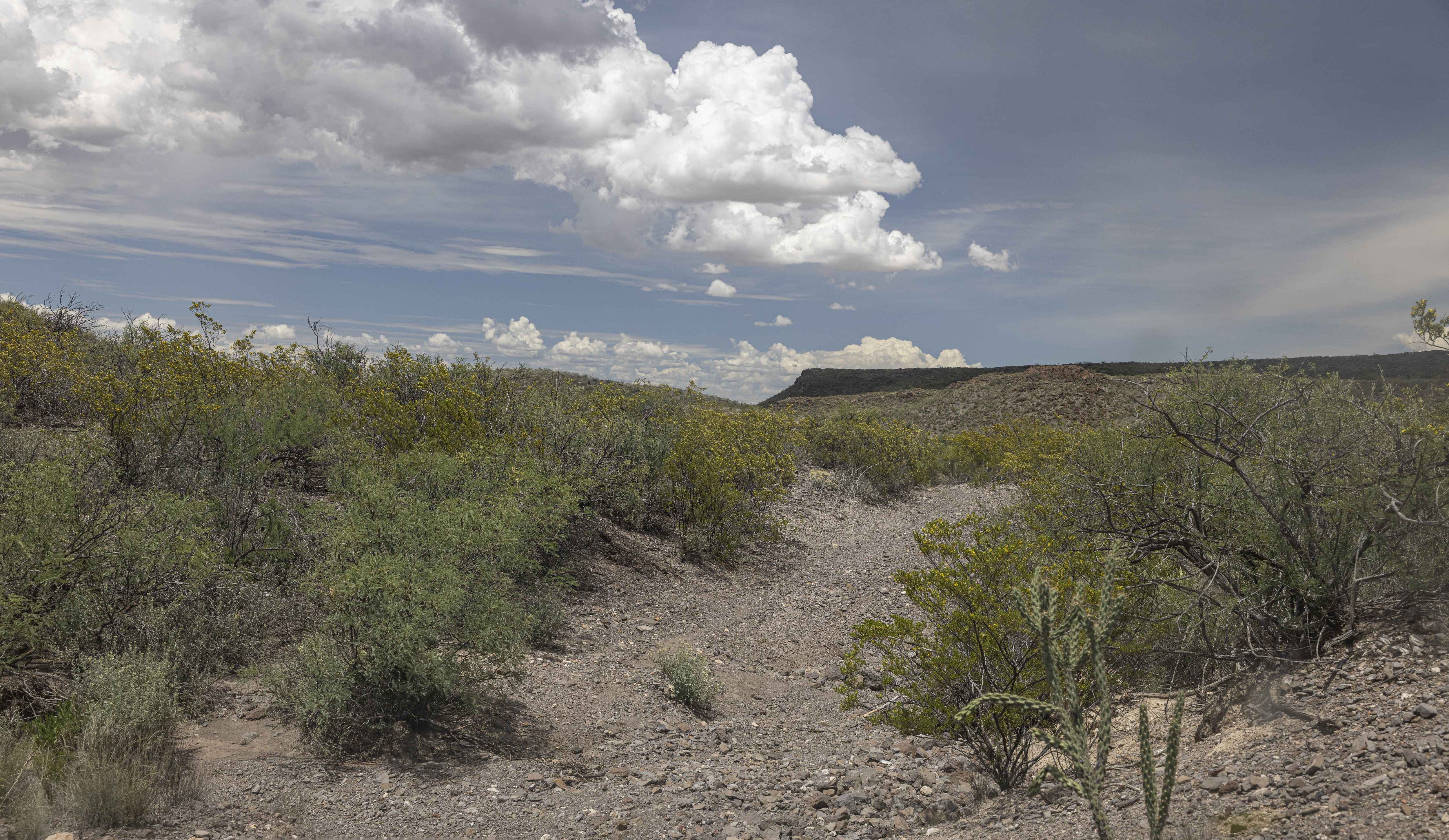
BBRSP Cerro Prietto Windmill Road
Total Miles
7.2
Tech Rating
Easy
Best Time
Spring, Summer, Fall, Winter
Learn more about BBRSP Fresno Canyon Rd.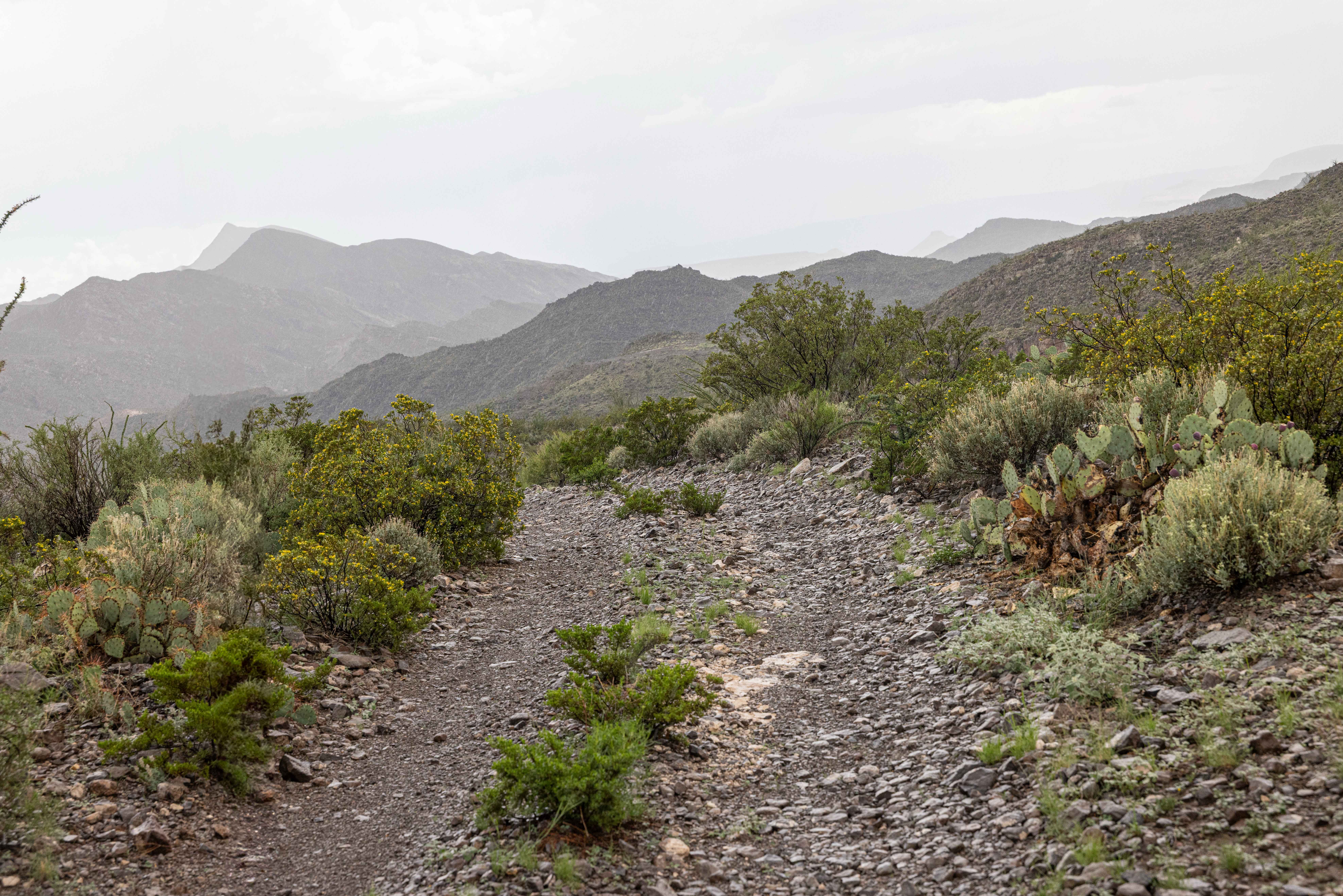
BBRSP Fresno Canyon Rd.
Total Miles
8.2
Tech Rating
Easy
Best Time
Spring, Summer, Winter, Fall
Learn more about BBRSP La Mota Road
BBRSP La Mota Road
Total Miles
5.8
Tech Rating
Easy
Best Time
Spring, Summer, Fall, Winter
Learn more about BBRSP Llano Loop
BBRSP Llano Loop
Total Miles
4.6
Tech Rating
Easy
Best Time
Spring, Summer, Fall, Winter
Learn more about BBRSP Lower Alamito Road
BBRSP Lower Alamito Road
Total Miles
7.0
Tech Rating
Easy
Best Time
Winter, Fall, Summer, Spring
ATV trails in Texas
Learn more about 1840 Spur
1840 Spur
Total Miles
0.1
Tech Rating
Easy
Best Time
Spring, Summer, Fall, Winter
Learn more about 2225 Spur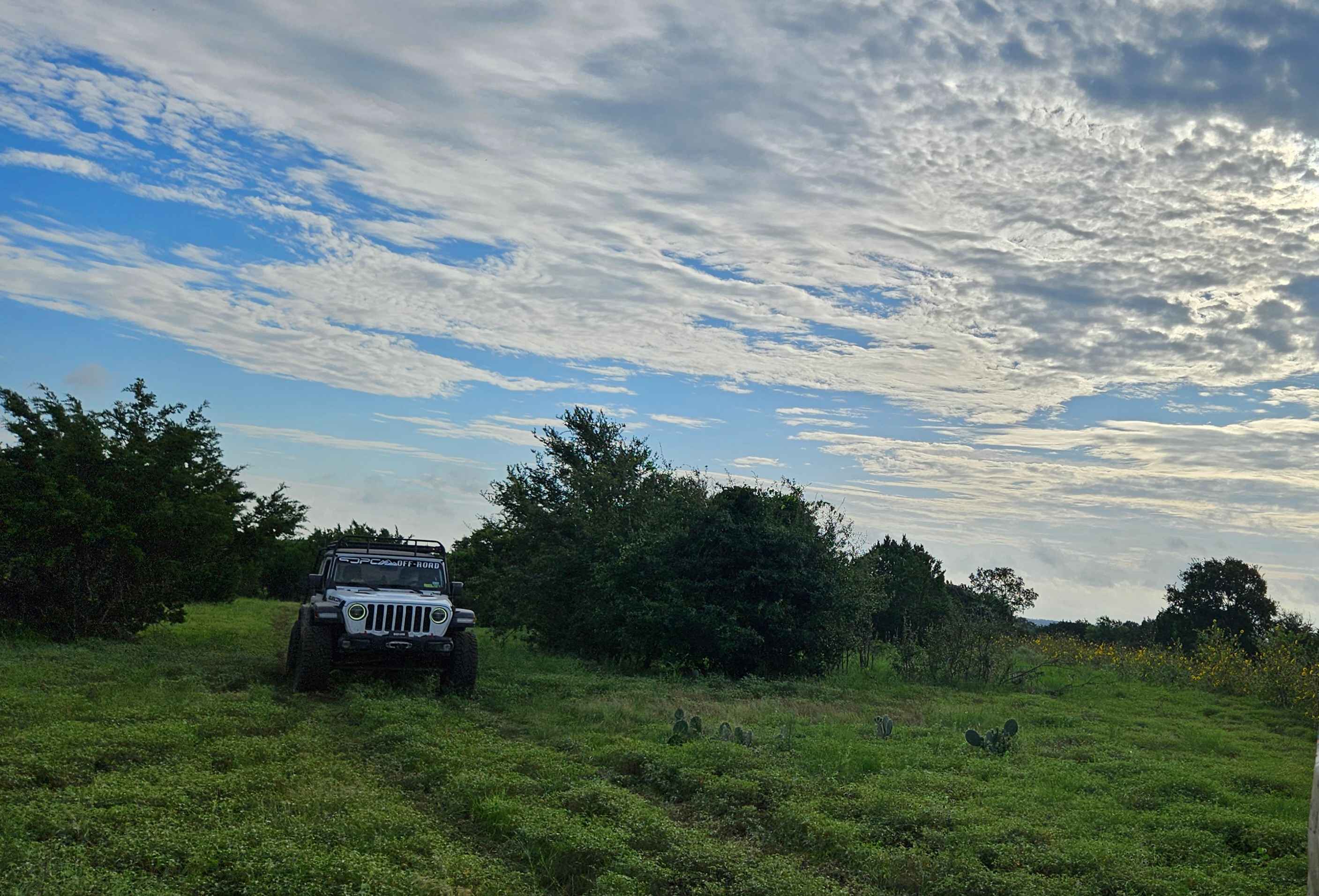
2225 Spur
Total Miles
0.1
Tech Rating
Easy
Best Time
Spring, Summer, Fall, Winter
Learn more about AB Access Trail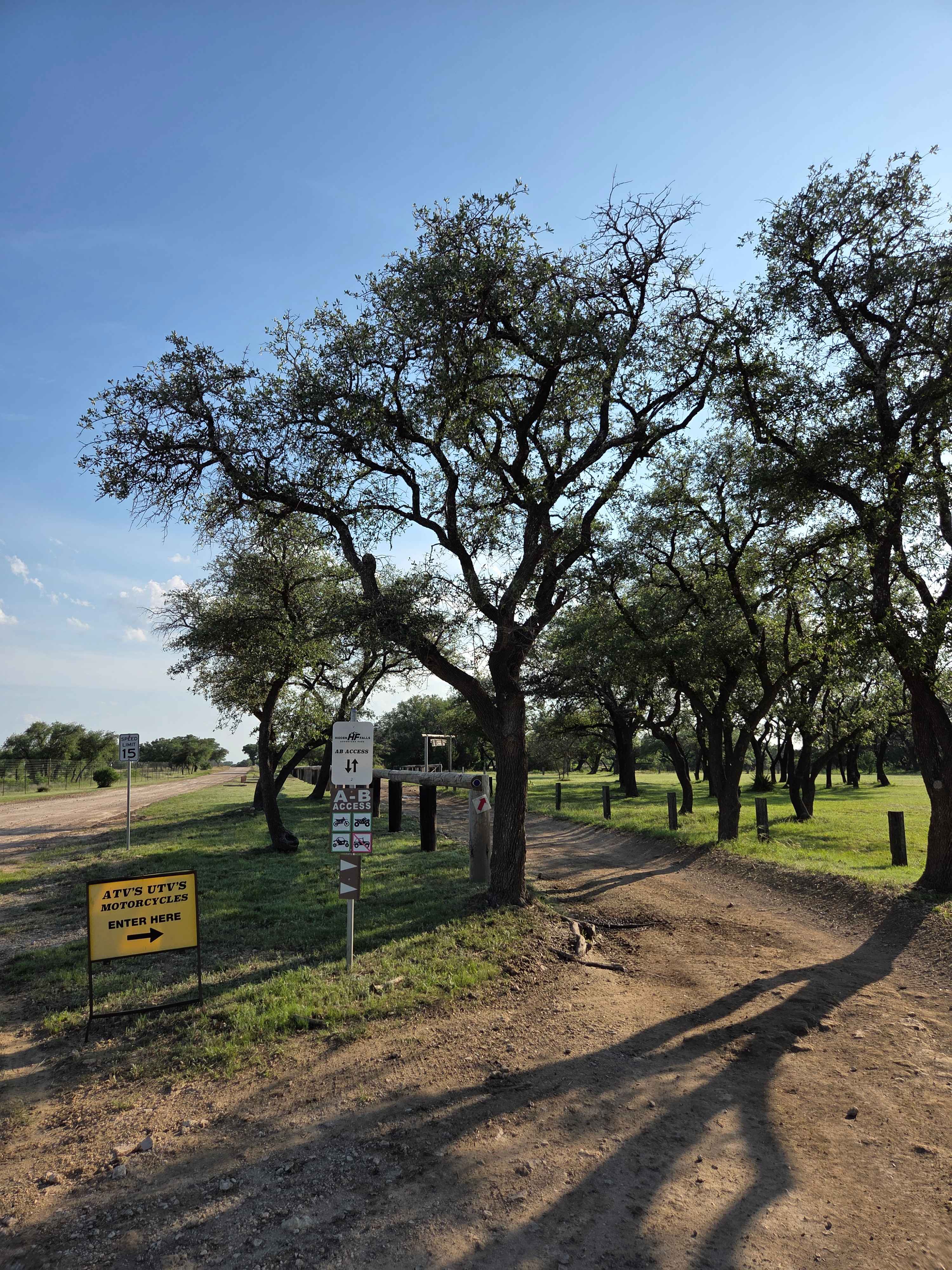
AB Access Trail
Total Miles
1.4
Tech Rating
Easy
Best Time
Spring, Summer, Fall, Winter
Learn more about Abandoned Resort
Abandoned Resort
Total Miles
9.0
Tech Rating
Easy
Best Time
Spring, Fall, Winter
UTV/side-by-side trails in Texas
Learn more about 1840 Spur
1840 Spur
Total Miles
0.1
Tech Rating
Easy
Best Time
Spring, Summer, Fall, Winter
Learn more about 2225 Spur
2225 Spur
Total Miles
0.1
Tech Rating
Easy
Best Time
Spring, Summer, Fall, Winter
Learn more about AB Access Trail
AB Access Trail
Total Miles
1.4
Tech Rating
Easy
Best Time
Spring, Summer, Fall, Winter
Learn more about All Along The Ship Channel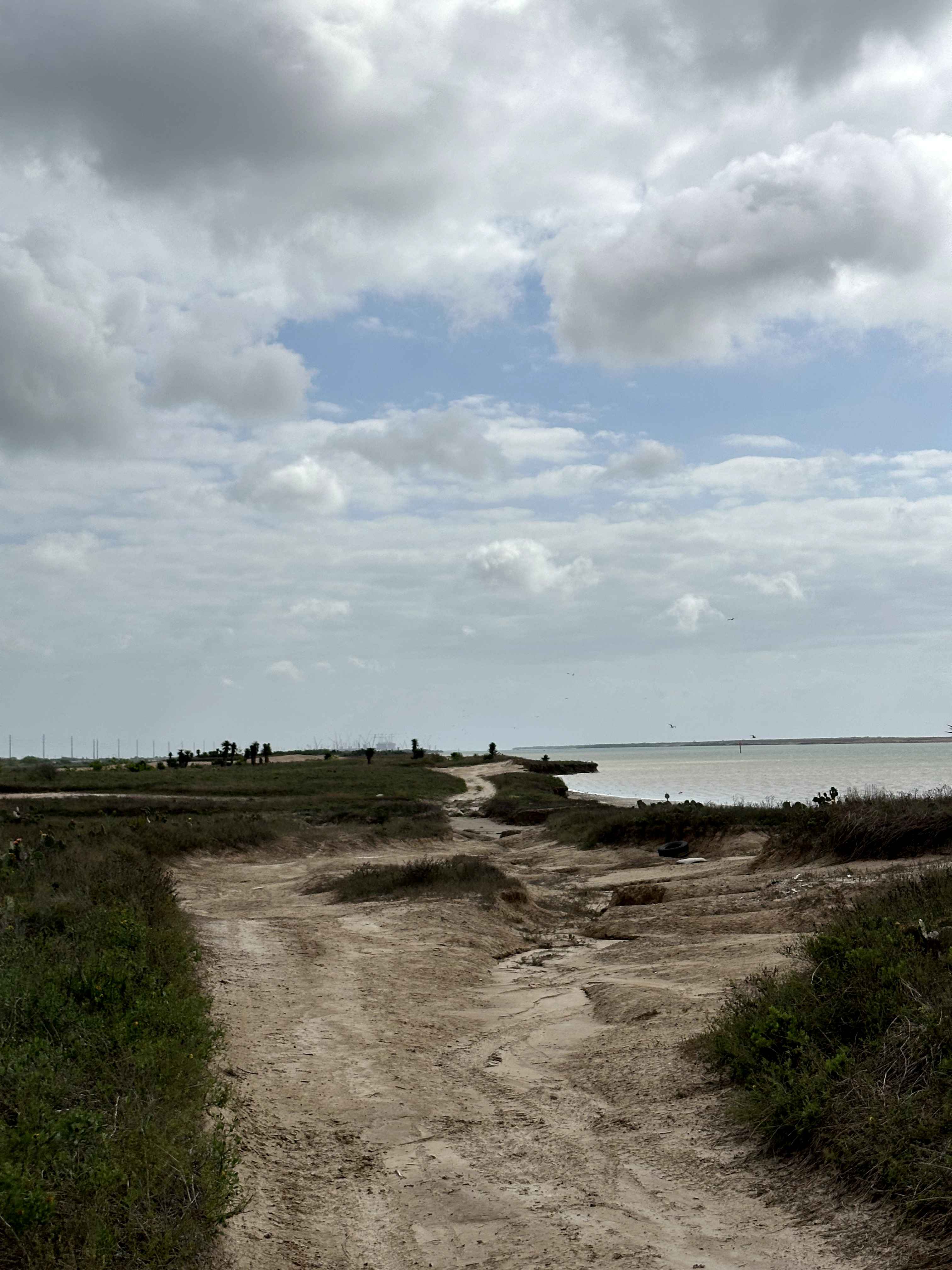
All Along The Ship Channel
Total Miles
2.4
Tech Rating
Easy
Best Time
Spring, Summer, Fall, Winter
The onX Offroad Difference
onX Offroad combines trail photos, descriptions, difficulty ratings, width restrictions, seasonality, and more in a user-friendly interface. Available on all devices, with offline access and full compatibility with CarPlay and Android Auto. Discover what you’re missing today!