Bastrop State Park Backroads
Total Miles
18.7
Technical Rating
Best Time
Spring, Summer, Fall, Winter
Trail Type
Full-Width Road
Accessible By
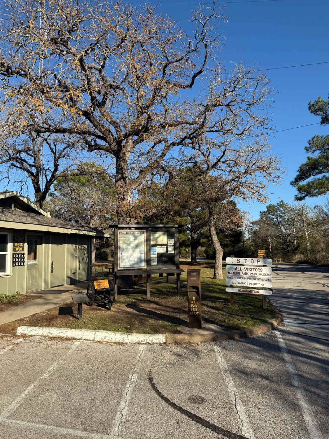
Trail Overview
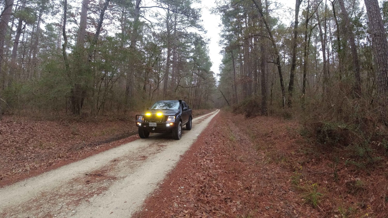
This route will take you from the entrance of Bastrop State Park (entrance fee required), through a few county roads to Paige. Starting in Bastrop State Park, you can explore the park and take in the sights before heading onto the rest of the route. The beginning of the route in the park is pavement, but shortly after turning off the first road out of the park, you will hit dirt and the majority of the remainder of the route is dirt. You'll pass numerous ranches through the route, where you can take in the sights of the vast greenery and wildlife, where you can expect to see goats, cows, horses, etc. The dirt section is very easy, mostly hard-packed dirt and gravel where 4x4 is not necessary. There are a few low crossings that could fill with standing water after rains, but shouldn't be too much of an obstacle. There are some areas of fire history as shown on the fire map. You can camp in the state park and the campsites look great, but there are no known campsites after you exit the park as everything off the road is private land. Stay on the road and do not take any side roads unless marked as public as the majority are private roads and private land. This is a low-traffic area with the only other traffic seen being residents that likely live in the area.
Photos of Bastrop State Park Backroads

Difficulty
The route is mostly hard-packed dirt and gravel, that just about any vehicle can take on. Shallow water crossings are possible, likely only a few inches if that after rain.
Status Reports
Bastrop State Park Backroads can be accessed by the following ride types:
- High-Clearance 4x4
- SUV
Bastrop State Park Backroads Map
Popular Trails
Davy Crockett National Forest Route

Sagissor Black
Wildcat Stairway
The onX Offroad Difference
onX Offroad combines trail photos, descriptions, difficulty ratings, width restrictions, seasonality, and more in a user-friendly interface. Available on all devices, with offline access and full compatibility with CarPlay and Android Auto. Discover what you’re missing today!