
Off-Road Trails in Texas
Discover off-road trails in Texas
Off-Road Trails in Texas
Discover the best off-road trails in Texas. Browse trail maps, check difficulty ratings, and find your next adventure — whether you're looking for a quick ride or an all-day expedition.
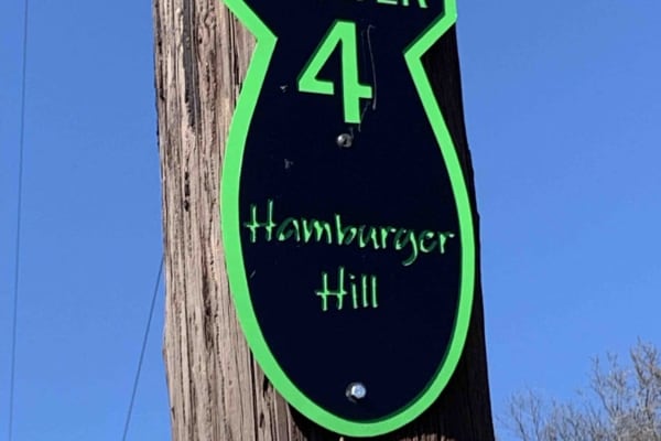
Hamburger Hill
This appears to be a wide-open trail, and it is. But it is a long, steep climb from the bottom to the top. Multiple lines to approach this climb, some are easier than others. Expect loose rolling rocks, 12" shelves to bump over, and about 100' of elevation change. 4 Low gears are highly recommended ...
Learn more about Hamburger Hill
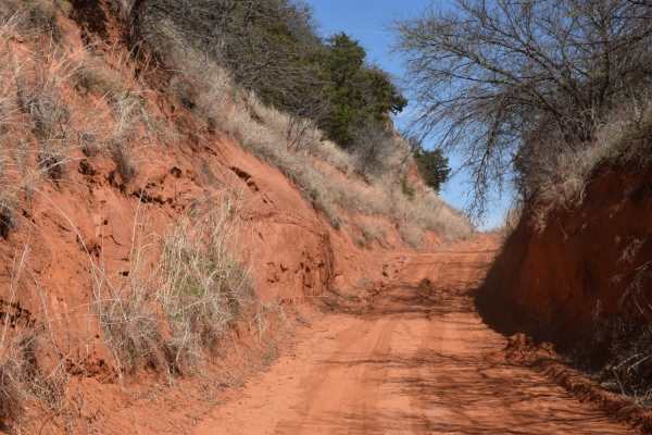
Sugar Creek Loop
Sugar Creek Loop is a great scenic drive with a handful of technical obstacles. It is short enough to be a day trip escape from the city, but still gives the sense that you are out exploring. Most of the loop is made up of dirt and gravel roads, with some portions of pavement and sand to help link t...
Learn more about Sugar Creek Loop
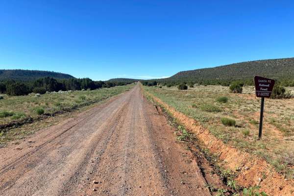
El Cerrito Area of Santa Fe National Forest
Open mesa plains with a web-like network of dirt roads with the occasional rocky obstacle and/or ledge. The general area is wide-open with scenic views of surrounding mesas. If you navigate deep enough into this area a couple nice rocky canyons can be found. Watch out for cattle as this is a commonl...
Learn more about El Cerrito Area of Santa Fe National Forest
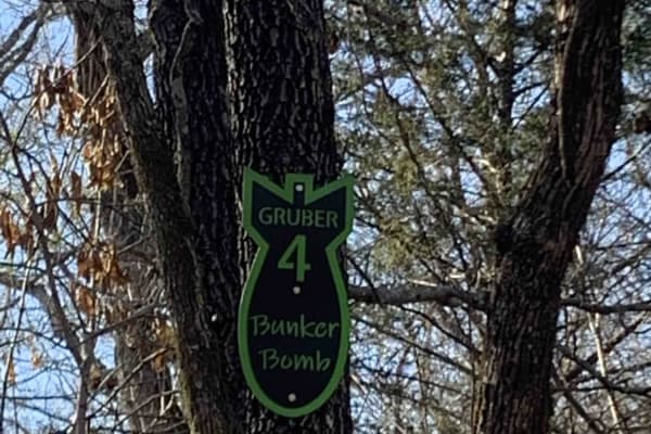
Bunker Bomb
Gruber ORV Park is a free park, open to the public 24/7 with the exception of special events. Expect dirt bikes, ATVs, UTVs, and full-size vehicle trails. Stock rigs all the way up to rock crawler rigs will enjoy the variety of terrain. (Don't forget to find the bluff area with a spectacular view o...
Learn more about Bunker Bomb
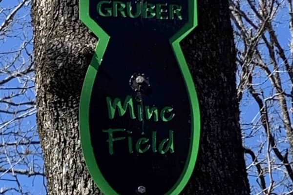
Mine Field
This isn't really a trail, more of a playground. Rocks, boulders, and more rocks are to be found here. There is no particular entrance or exit. It is just a vast array of huge rocks to play around on. Trials Bike riders love this area. It is a great place for you and your buddies to watch each othe...
Learn more about Mine Field
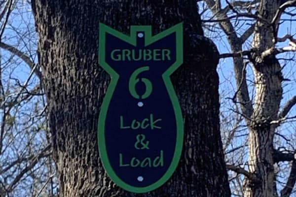
Lock & Load
On this trail, you'll find a beautiful creek with large rocks and an active stream. It is great for rock crawling and flexing out your rig. If you make it up, turn around and try it going down. "Escape" the path halfway through in case you are in over your head. Damage to the rig is possible.
Learn more about Lock & Load
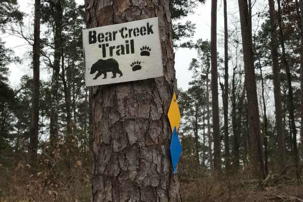
Bear Creek Trail
Bear Creek Trail is an exceptional offroad trail designed primarily for ATVs and dirt bikes looking to tackle rugged shoreline terrain with scenic views of Lake Greeson and the Ouachita Mountains. This specific 6.3-mile point-to-point segment begins at Daisy State Park and winds along the pine and o...
Learn more about Bear Creek Trail
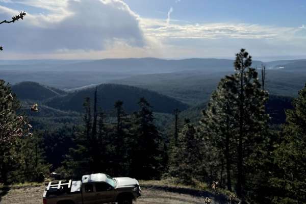
County Road A19A to Hermits Peak
County Road A19A to Hermits Peak is a scenic, beginner-friendly dirt road that offers stunning canyon views, mountain vistas, and direct access to the Santa Fe National Forest near Las Vegas, New Mexico. It begins at an elevation of 6,729 feet and winds steadily upward alongside a picturesque creek,...
Learn more about County Road A19A to Hermits Peak
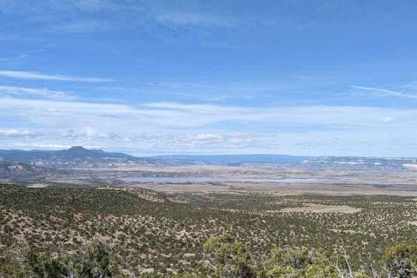
FS 23/FS 137 Abiquiu to El Rito
This trail begins by turning right onto FS 23 from US 84 North, just south of Route 96 turn off to the lake. You will begin climbing in elevation and the views to the west of Cerro Pedernal and Abiquiu Lake improve steadily up to ~7,500 ft elevation. There will be scenic overlooks along the ridge to...
Learn more about FS 23/FS 137 Abiquiu to El Rito
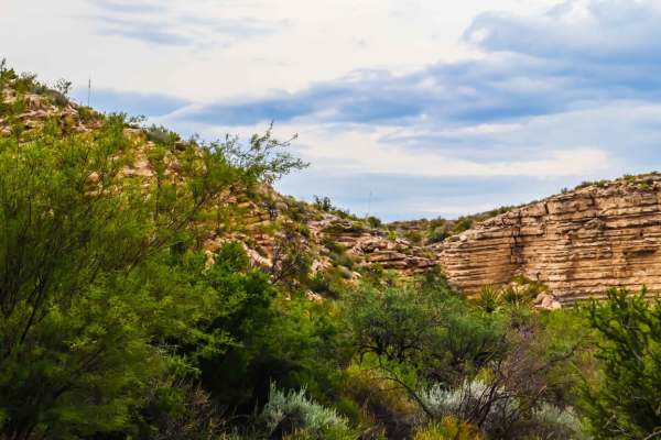
Old Ore Road
Old Ore Road is located within the remote wilderness of Big Bend National Park. Old Ore is one of the only trails (if not the only) within Big Bend where cell service is somewhat available, except for a few valleys and canyons. This trail is great for beginners, as it traverses many types of terrain...
Learn more about Old Ore Road
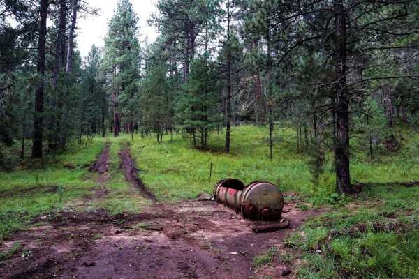
Three Mile Canyon Road
Three Mile Canyon Road is a Forest Service road located in the Sacramento Mountain range and Lincoln National Forest. The trail winds into the canyon and then back out to lead the traveler to Carr Gap (if starting the trail from the west side) and brings tremendous views of the Sacramento Mountains....
Learn more about Three Mile Canyon Road
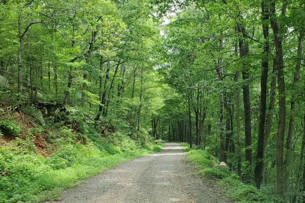
Prison Fence Trail
This is an easy scenic trail with various terrain types, including gravel, dirt, mud holes, rock ledges, and shallow water crossings. The elevation varies from around 1100' to just over 2400' as it follows along the Little Mulberry River. This trail runs north and south between Highway 16 and Highwa...
Learn more about Prison Fence Trail
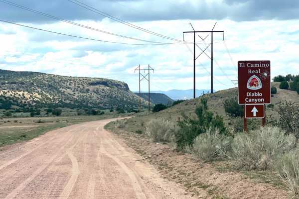
El Camino Real y Diablo Canyon Trail
The El Camino Trail road will take you to Diablo Canyon and to the Rio Grande River. It is almost an extension of the Camino la Tierra road off of Hwy 599. It changes in name to Old Buckman road as it forks to the right after 6.7 miles. The road is well marked with signage at the fork and a wide, wh...
Learn more about El Camino Real y Diablo Canyon Trail
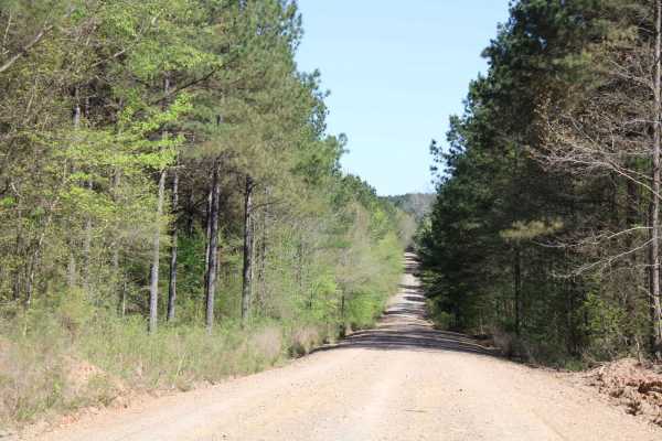
Howard County WMA 485RD Circle
Gravel roads that are in the Howard County WMA. These gravel roads are well maintained but can be muddy when wet. This trail ends at a circle turn around. Gates can be closed at times. There is a gate at the beginning of this trail. A free annual General Use Permit (WMP) is required to hunt or trap ...
Learn more about Howard County WMA 485RD Circle
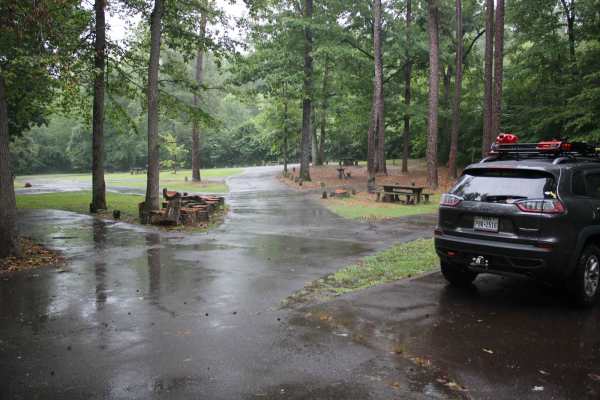
Knoppers Ford
Knopper's Ford, situated along Sugar Creek is a day-use facility built by the CCC. It is accessible by passenger cars or low-clearance vehicles. Knopper's Ford is popular with Off-Highway Vehicle (OHV) and Equestrian enthusiasts, as it is a very short distance from the fabulous Sugar Creek Multi-Us...
Learn more about Knoppers Ford
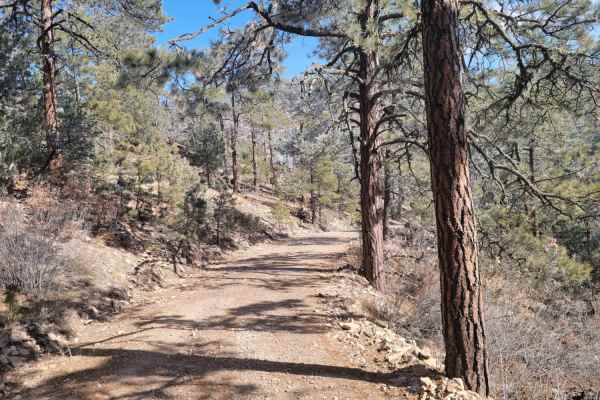
Glorieta Peak
This trail ascends a mountain surrounded by the desert to the South-East of Mountainair. When approaching the peak, it will be visible long before you start the trail when approaching from the west. The first part of the trail is driving on light gravel roads before you enter the National Forest. Th...
Learn more about Glorieta Peak
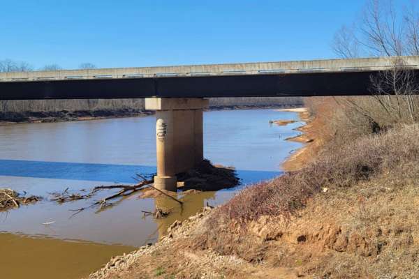
Follow the Red River
This 30-mile route follows along the Northside of the Red River. This East to West route is almost completely gravel roads. The roads are maintained but can be nasty after or during rains. Although you may not see a lot of the river, you will see lots of pasture land with livestock, creeks with brid...
Learn more about Follow the Red River
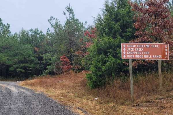
Hawks Peak
This trail starts off on the east side of Highway 71 a few miles north of Waldron Arkansas. Waldron Arkansas has gas stations and a grocery store for last-minute items or fill up. The trail is on the south side of Pilot Knob Mountain. This is a maintained gravel road that can be messy when wet. This...
Learn more about Hawks Peak
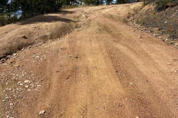
Arroyo Hondo Forest Service 79
Forest Service road that climbs a wide loose and rutted road. There are many shallow ruts and a few deep ruts that must be navigated around if clearance is an issue. There is a very steep descent about 2.5 miles past the Santa Fe National Forest signs or about 0.25 miles past the rough parking lot. ...
Learn more about Arroyo Hondo Forest Service 79
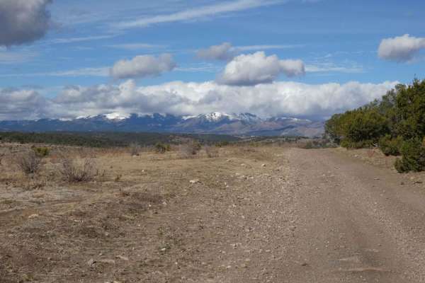
Eagle Lakes
Eagle Lakes is a canyon-to-ridge trail that can be accessed and completed from its east or west entrance. From the east entrance, the trail starts lower in a valley and ascends to its ridge line before dropping back down on the west end. The surface starts differently on each end, with a primarily r...
Learn more about Eagle Lakes
ATV trails in Texas
Explore ATV-friendly trails in Texas. These trails are accessible for vehicles up to 50 inches wide, perfect for ATVs and smaller off-road machines.
Hamburger Hill
This appears to be a wide-open trail, and it is. But it is a long, steep climb from the bottom to the top. Multiple lines to approach this climb, some are easier than others. Expect loose rolling rocks, 12" shelves to bump over, and about 100' of elevation change. 4 Low gears are highly recommended ...
Learn more about Hamburger Hill
El Cerrito Area of Santa Fe National Forest
Open mesa plains with a web-like network of dirt roads with the occasional rocky obstacle and/or ledge. The general area is wide-open with scenic views of surrounding mesas. If you navigate deep enough into this area a couple nice rocky canyons can be found. Watch out for cattle as this is a commonl...
Learn more about El Cerrito Area of Santa Fe National Forest
Bunker Bomb
Gruber ORV Park is a free park, open to the public 24/7 with the exception of special events. Expect dirt bikes, ATVs, UTVs, and full-size vehicle trails. Stock rigs all the way up to rock crawler rigs will enjoy the variety of terrain. (Don't forget to find the bluff area with a spectacular view o...
Learn more about Bunker Bomb
Mine Field
This isn't really a trail, more of a playground. Rocks, boulders, and more rocks are to be found here. There is no particular entrance or exit. It is just a vast array of huge rocks to play around on. Trials Bike riders love this area. It is a great place for you and your buddies to watch each othe...
Learn more about Mine Field
UTV/side-by-side trails in Texas
Find UTV and side-by-side trails in Texas. These trails accommodate vehicles up to 60 inches wide, ideal for UTVs, side-by-sides, and wider off-road rigs.
Hamburger Hill
This appears to be a wide-open trail, and it is. But it is a long, steep climb from the bottom to the top. Multiple lines to approach this climb, some are easier than others. Expect loose rolling rocks, 12" shelves to bump over, and about 100' of elevation change. 4 Low gears are highly recommended ...
Learn more about Hamburger Hill
El Cerrito Area of Santa Fe National Forest
Open mesa plains with a web-like network of dirt roads with the occasional rocky obstacle and/or ledge. The general area is wide-open with scenic views of surrounding mesas. If you navigate deep enough into this area a couple nice rocky canyons can be found. Watch out for cattle as this is a commonl...
Learn more about El Cerrito Area of Santa Fe National Forest
Bunker Bomb
Gruber ORV Park is a free park, open to the public 24/7 with the exception of special events. Expect dirt bikes, ATVs, UTVs, and full-size vehicle trails. Stock rigs all the way up to rock crawler rigs will enjoy the variety of terrain. (Don't forget to find the bluff area with a spectacular view o...
Learn more about Bunker Bomb
Mine Field
This isn't really a trail, more of a playground. Rocks, boulders, and more rocks are to be found here. There is no particular entrance or exit. It is just a vast array of huge rocks to play around on. Trials Bike riders love this area. It is a great place for you and your buddies to watch each othe...
Learn more about Mine Field
The onX Offroad Difference
onX Offroad combines trail photos, descriptions, difficulty ratings, width restrictions, seasonality, and more in a user-friendly interface. Available on all devices, with offline access and full compatibility with CarPlay and Android Auto. Discover what you're missing today!
Open Trail Map