Off-Road Trails in Texas
Discover off-road trails in Texas
Learn more about BBRSP Madrid Falls Road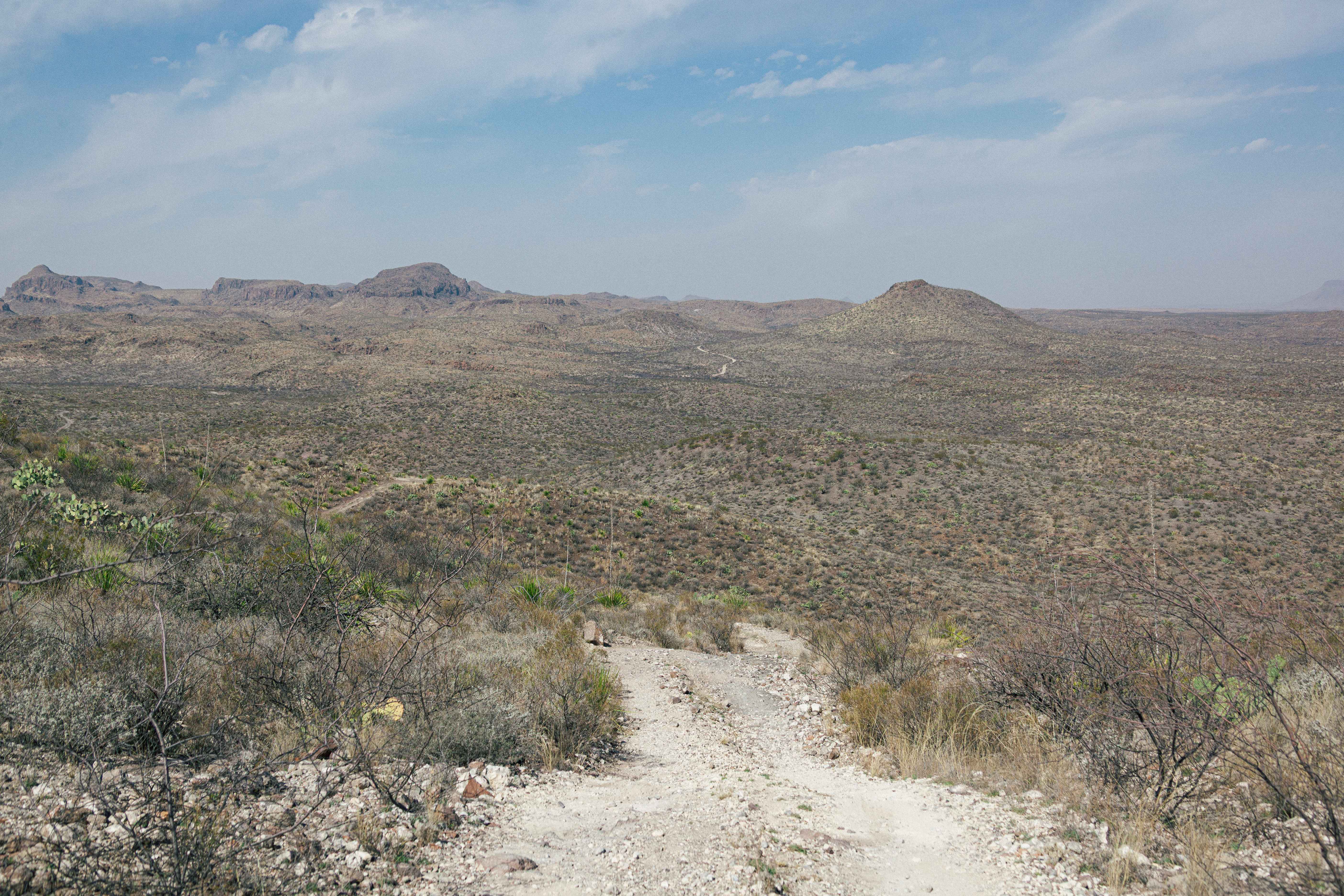
BBRSP Madrid Falls Road
Total Miles
5.3
Tech Rating
Easy
Best Time
Spring, Summer, Fall, Winter
Learn more about BBRSP Main Park Road West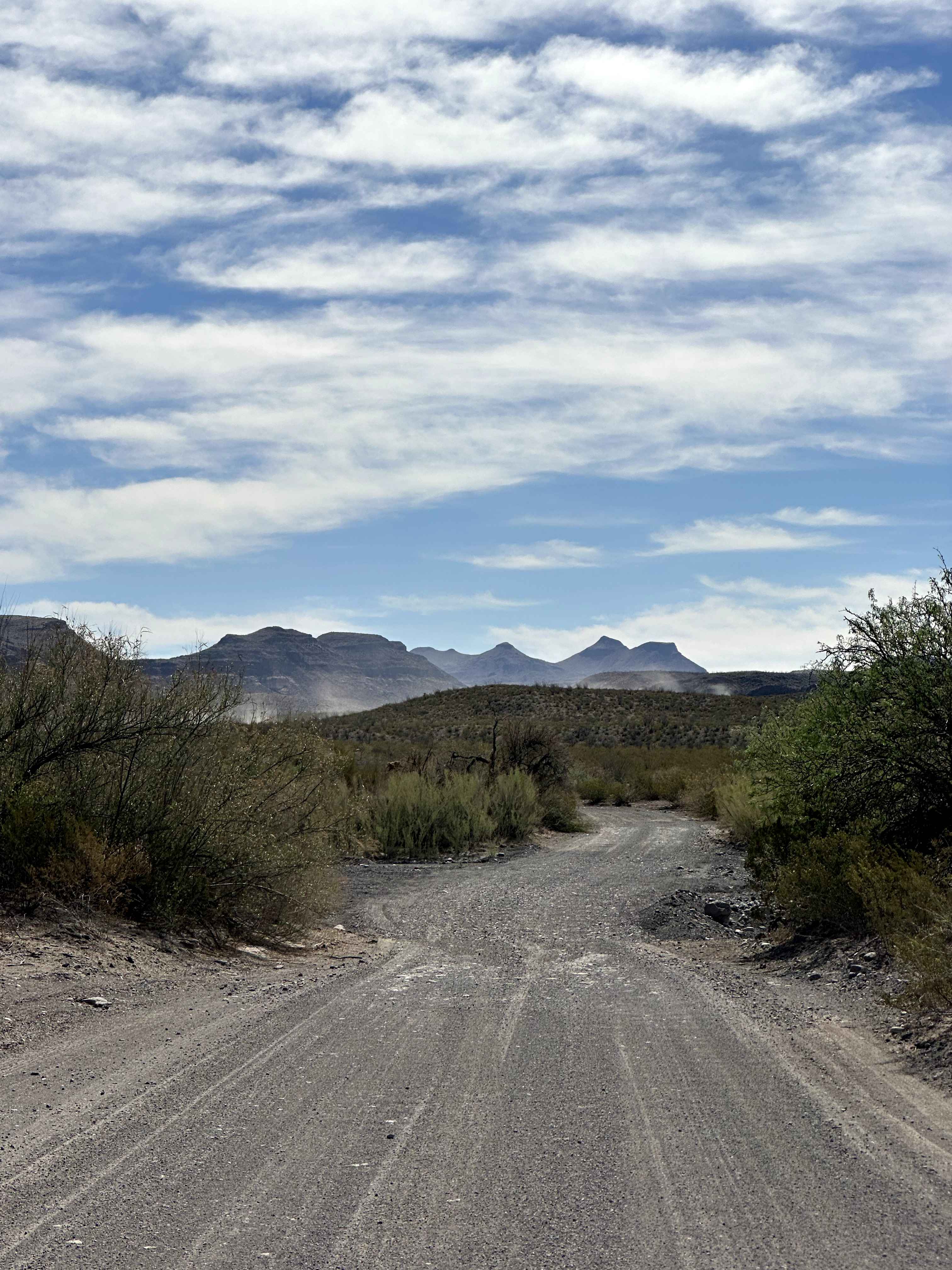
BBRSP Main Park Road West
Total Miles
3.5
Tech Rating
Easy
Best Time
Spring, Summer, Fall, Winter
Learn more about BBRSP Main Road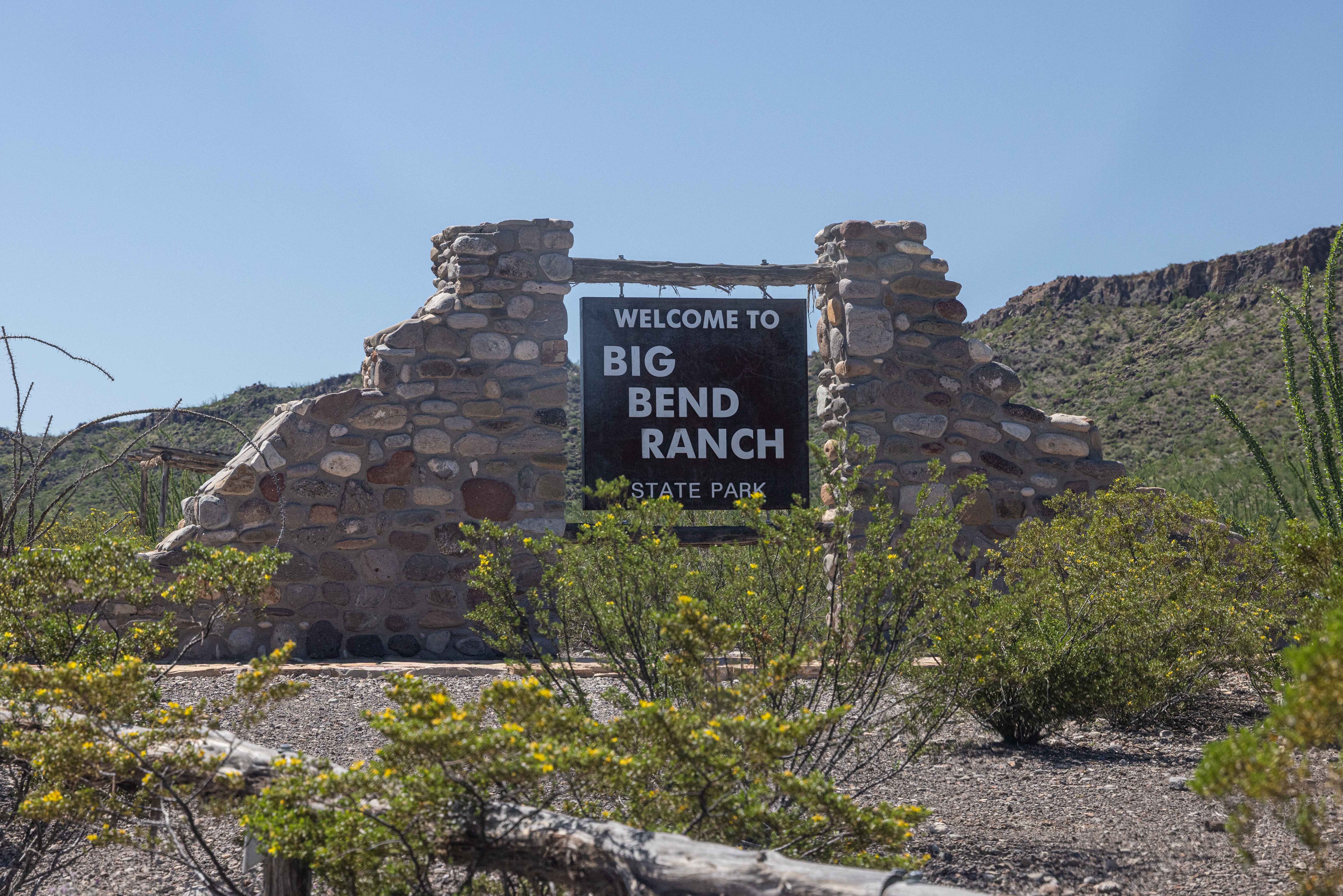
BBRSP Main Road
Total Miles
29.0
Tech Rating
Easy
Best Time
Spring, Summer, Fall, Winter
Learn more about BBRSP Papalote de la Sierra
BBRSP Papalote de la Sierra
Total Miles
5.1
Tech Rating
Easy
Best Time
Spring, Summer, Fall, Winter
Learn more about BBRSP Solitario Road West
BBRSP Solitario Road West
Total Miles
2.2
Tech Rating
Easy
Best Time
Spring, Summer, Fall, Winter
Learn more about BBRSP Vasquez House Road
BBRSP Vasquez House Road
Total Miles
10.3
Tech Rating
Easy
Best Time
Spring, Summer, Fall, Winter
Learn more about BBRSP West Casa Ramon
BBRSP West Casa Ramon
Total Miles
2.9
Tech Rating
Easy
Best Time
Spring, Summer, Fall, Winter
Learn more about BBRSP Yadre Road
BBRSP Yadre Road
Total Miles
2.2
Tech Rating
Easy
Best Time
Spring, Summer, Fall, Winter
Learn more about Bennet Lane Gravel Road
Bennet Lane Gravel Road
Total Miles
1.8
Tech Rating
Easy
Best Time
Spring, Summer, Fall, Winter
Learn more about Bergflow Mouth Bypass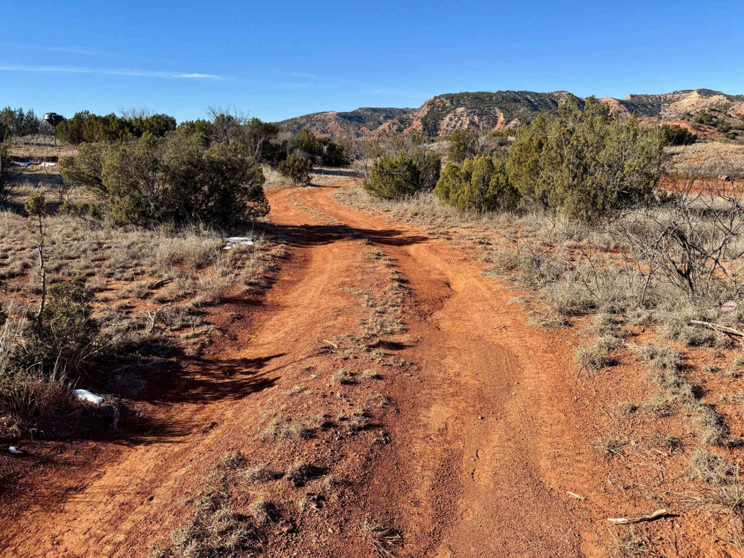
Bergflow Mouth Bypass
Total Miles
0.1
Tech Rating
Easy
Best Time
Spring, Summer, Fall, Winter
Learn more about Bergflow Section 1
Bergflow Section 1
Total Miles
1.2
Tech Rating
Difficult
Best Time
Spring, Summer, Fall, Winter
Learn more about Bergflow Section 2
Bergflow Section 2
Total Miles
0.8
Tech Rating
Difficult
Best Time
Spring, Summer, Fall, Winter
Learn more about Bethel Spur - FS 211A
Bethel Spur - FS 211A
Total Miles
1.0
Tech Rating
Easy
Best Time
Spring, Summer, Fall, Winter
Learn more about Big Bend Ranch State Park Entrance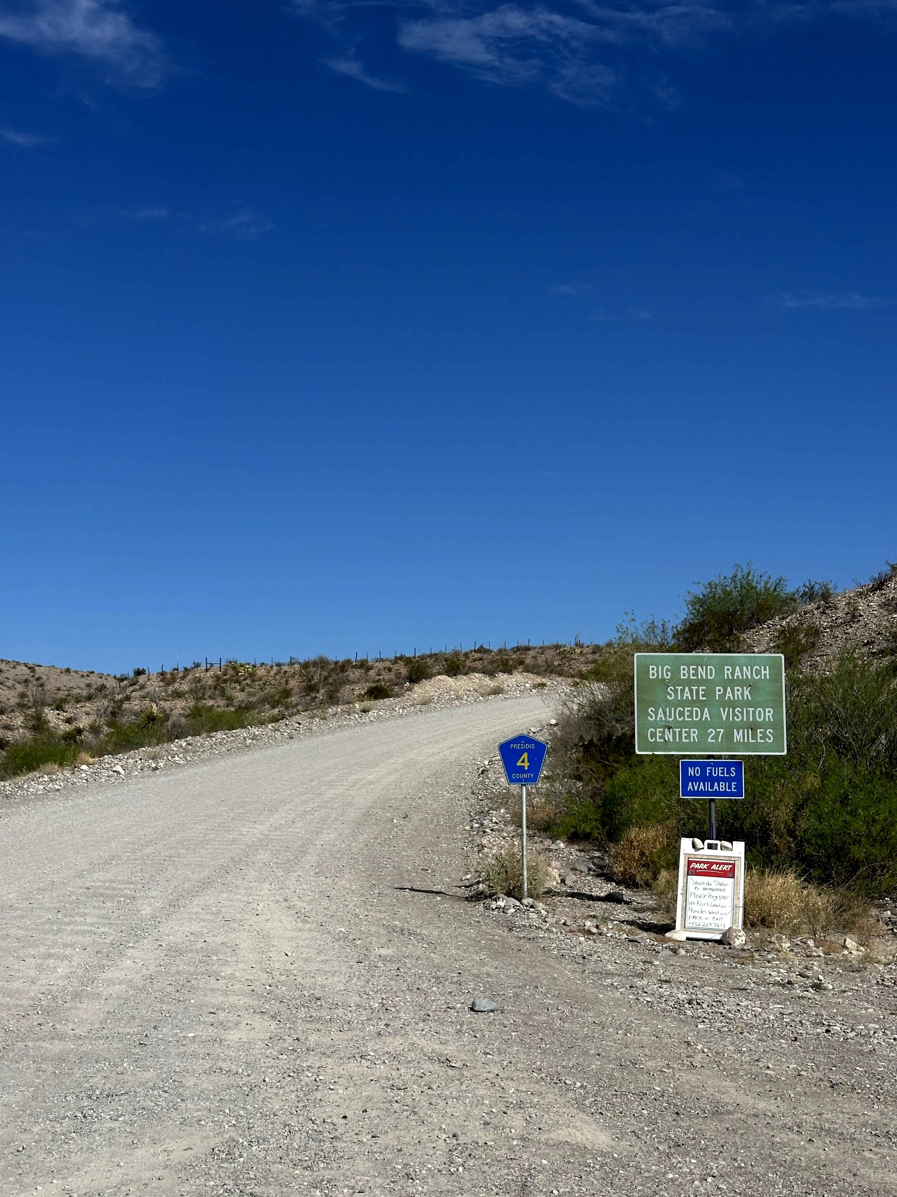
Big Bend Ranch State Park Entrance
Total Miles
6.0
Tech Rating
Easy
Best Time
Spring, Summer, Fall, Winter
Learn more about Big Creek Crossing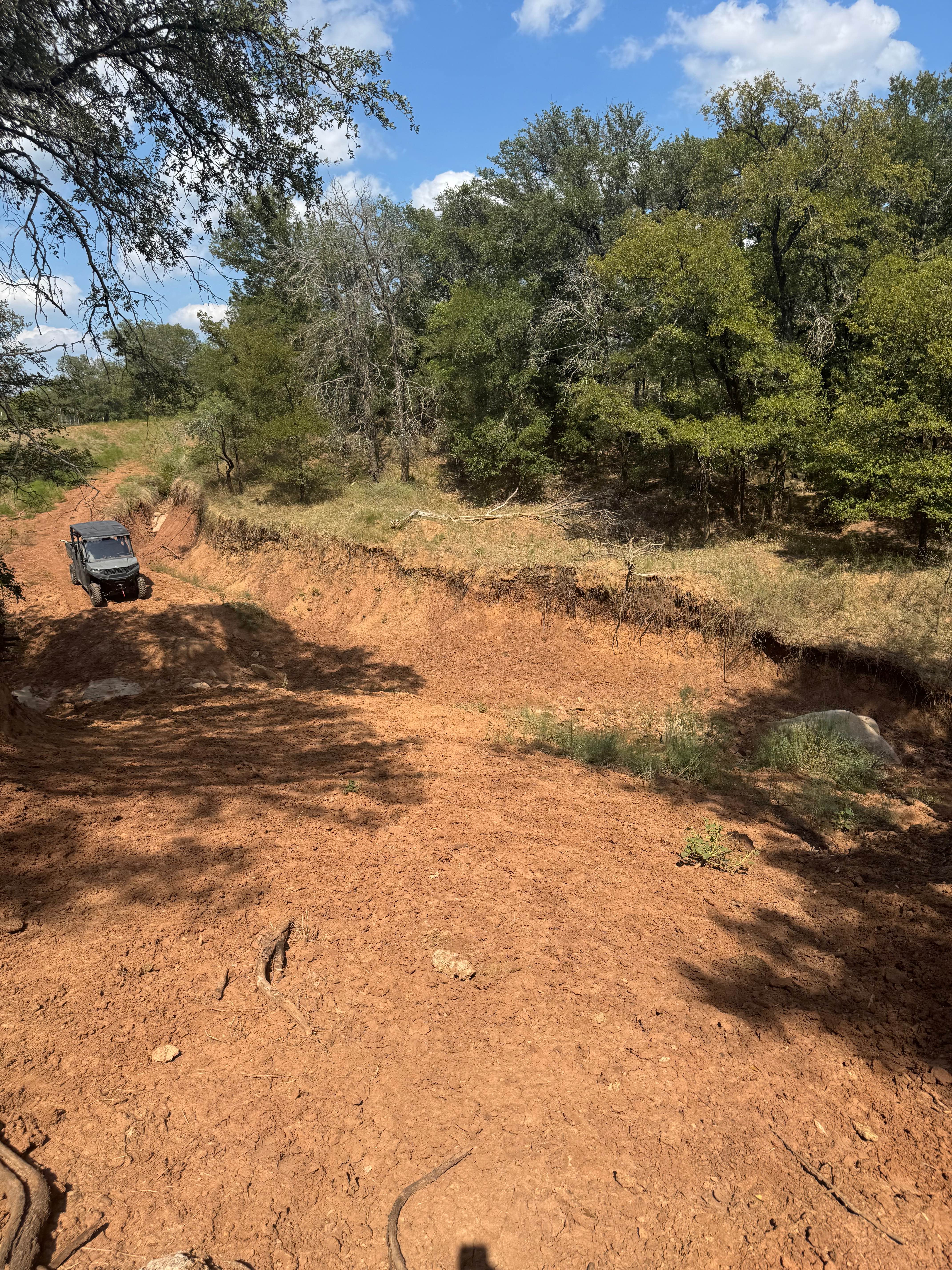
Big Creek Crossing
Total Miles
0.9
Tech Rating
Moderate
Best Time
Summer, Fall, Spring, Winter
Learn more about Big Creek Scenic Route
Big Creek Scenic Route
Total Miles
6.0
Tech Rating
Easy
Best Time
Spring, Summer, Fall, Winter
Learn more about Big Slough Follow-Along
Big Slough Follow-Along
Total Miles
3.6
Tech Rating
Easy
Best Time
Summer, Winter
Learn more about Big Woods
Big Woods
Total Miles
8.4
Tech Rating
Easy
Best Time
Spring, Summer, Fall, Winter
Learn more about Bill Adams Fork
Bill Adams Fork
Total Miles
2.2
Tech Rating
Easy
Best Time
Spring, Summer, Fall, Winter
ATV trails in Texas
Learn more about 1840 Spur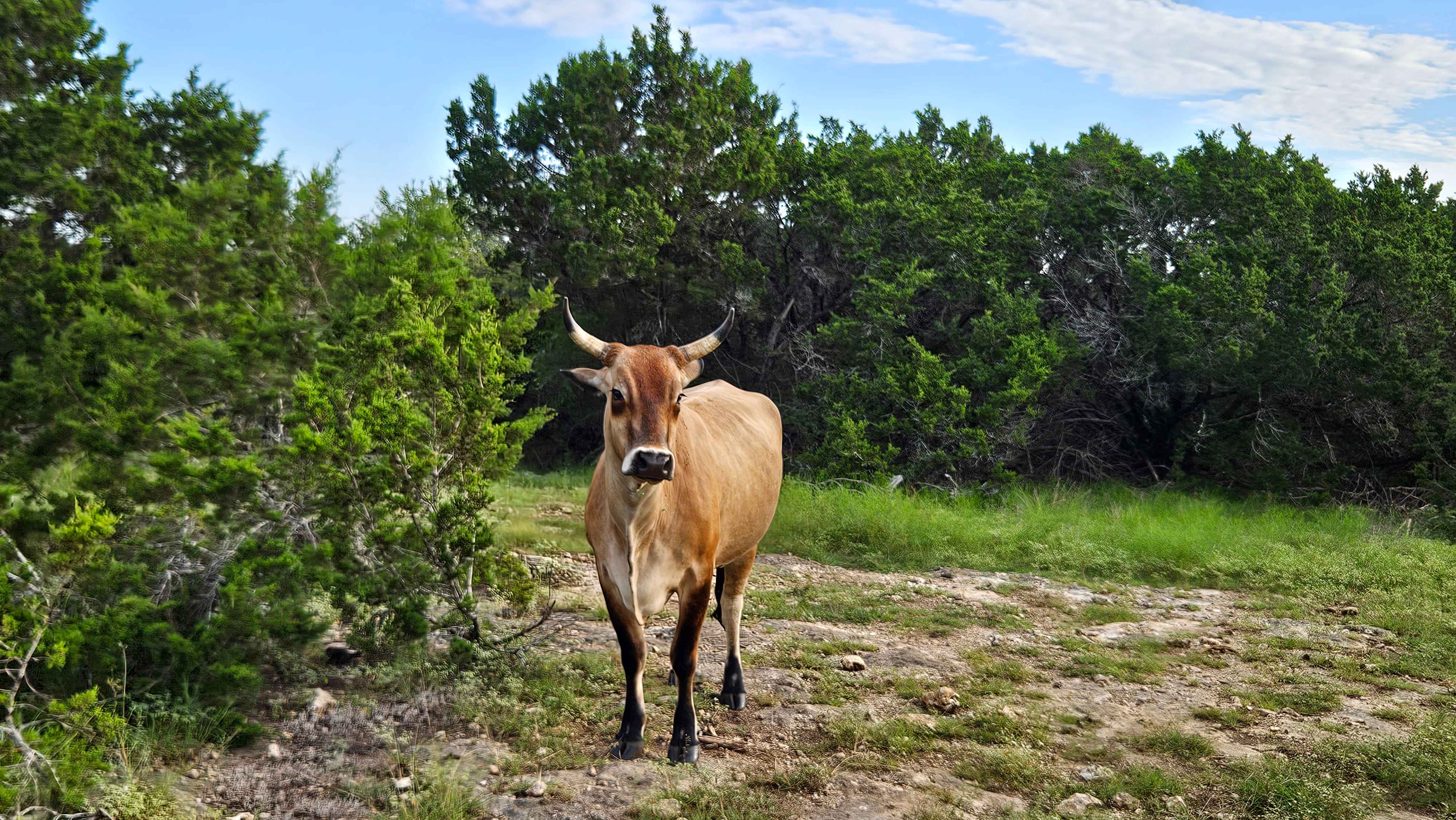
1840 Spur
Total Miles
0.1
Tech Rating
Easy
Best Time
Spring, Summer, Fall, Winter
Learn more about 2225 Spur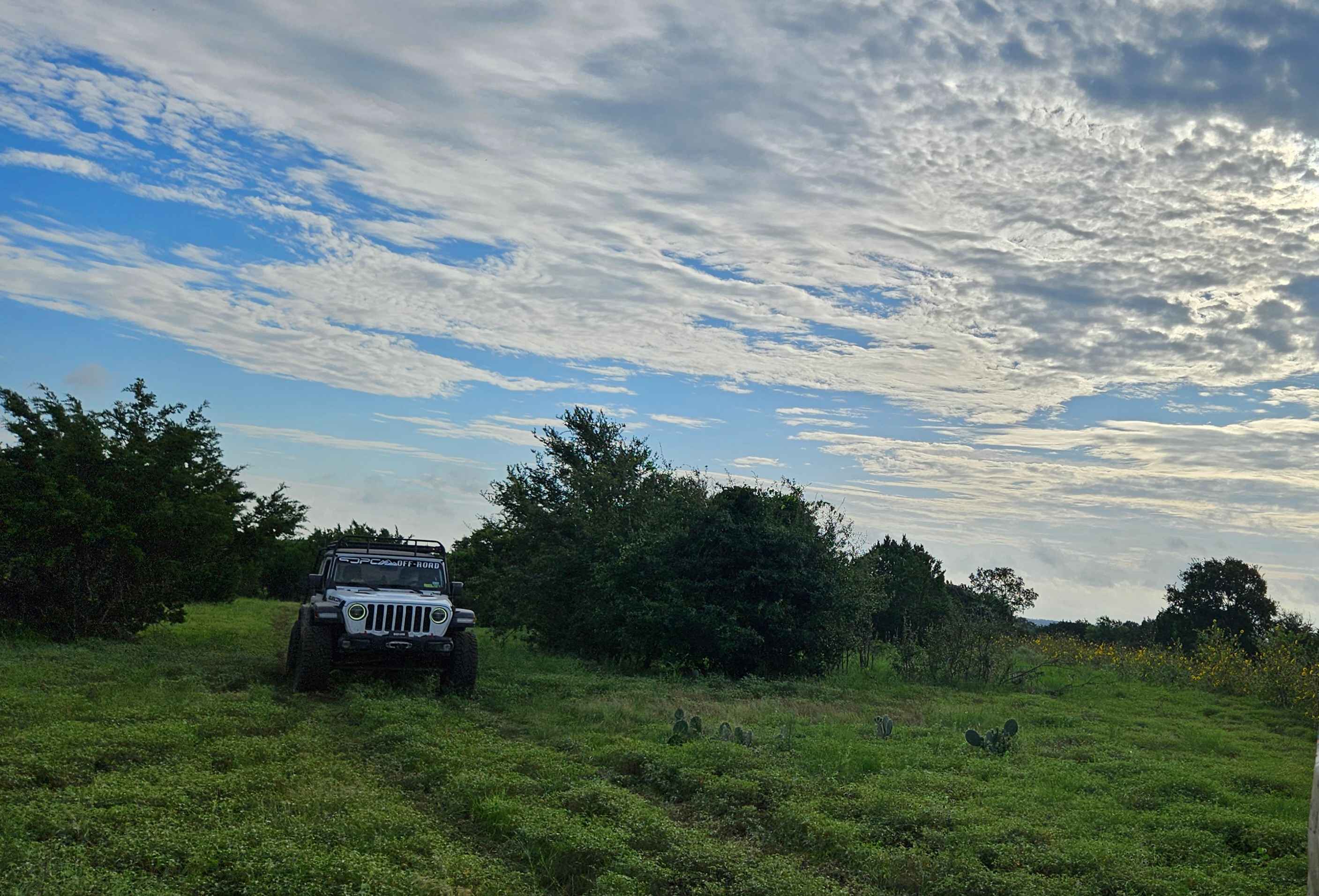
2225 Spur
Total Miles
0.1
Tech Rating
Easy
Best Time
Spring, Summer, Fall, Winter
Learn more about AB Access Trail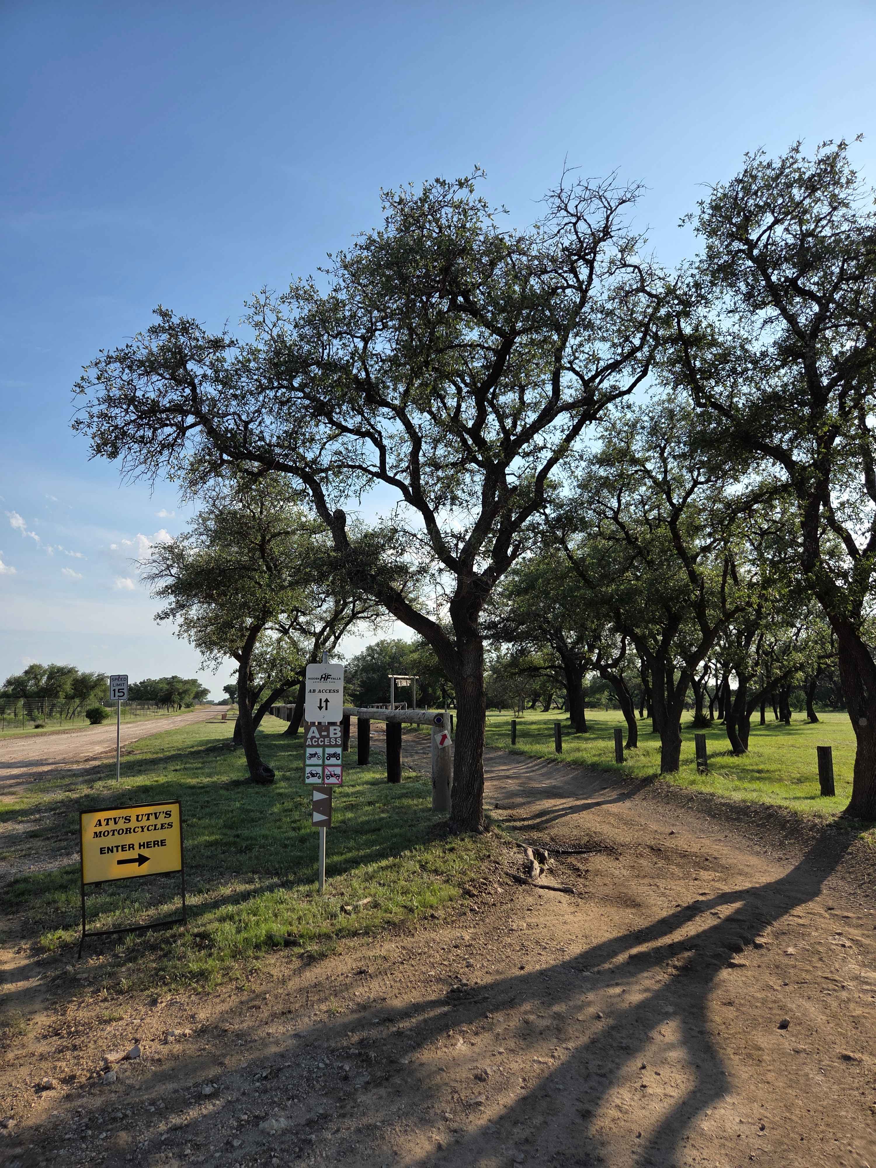
AB Access Trail
Total Miles
1.4
Tech Rating
Easy
Best Time
Spring, Summer, Fall, Winter
Learn more about Abandoned Resort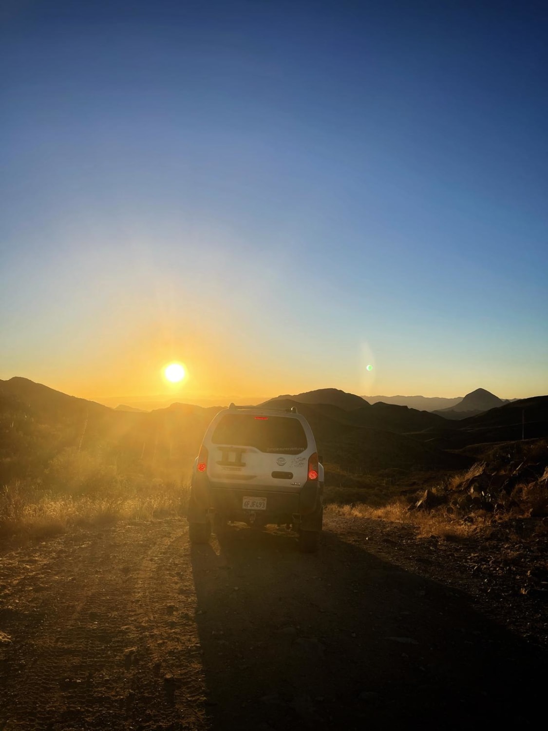
Abandoned Resort
Total Miles
9.0
Tech Rating
Easy
Best Time
Spring, Fall, Winter
UTV/side-by-side trails in Texas
Learn more about 1840 Spur
1840 Spur
Total Miles
0.1
Tech Rating
Easy
Best Time
Spring, Summer, Fall, Winter
Learn more about 2225 Spur
2225 Spur
Total Miles
0.1
Tech Rating
Easy
Best Time
Spring, Summer, Fall, Winter
Learn more about AB Access Trail
AB Access Trail
Total Miles
1.4
Tech Rating
Easy
Best Time
Spring, Summer, Fall, Winter
Learn more about All Along The Ship Channel
All Along The Ship Channel
Total Miles
2.4
Tech Rating
Easy
Best Time
Spring, Summer, Fall, Winter
The onX Offroad Difference
onX Offroad combines trail photos, descriptions, difficulty ratings, width restrictions, seasonality, and more in a user-friendly interface. Available on all devices, with offline access and full compatibility with CarPlay and Android Auto. Discover what you’re missing today!