BBRSP Papalote de la Sierra
Total Miles
5.1
Technical Rating
Best Time
Spring, Summer, Fall, Winter
Trail Type
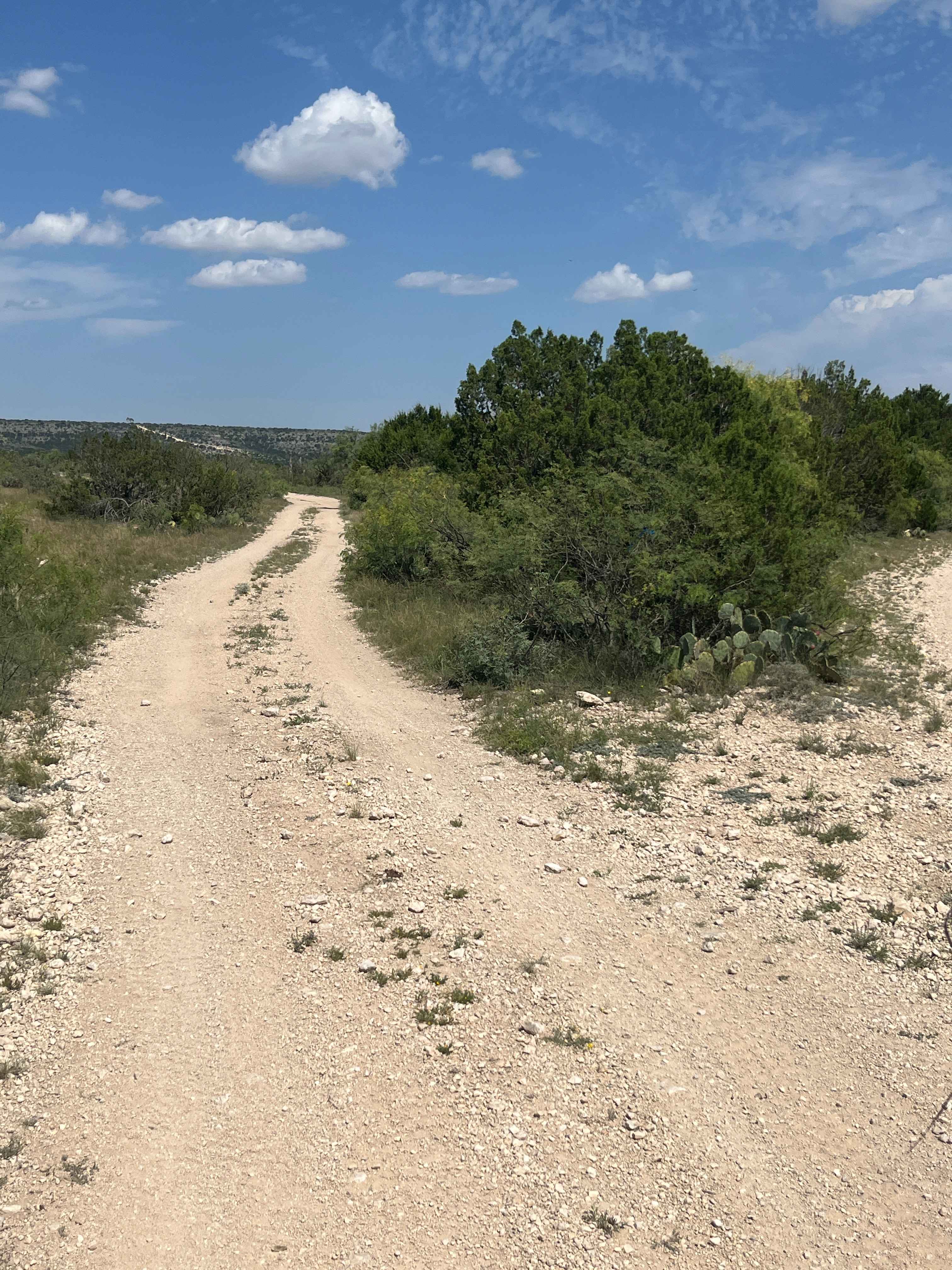
Full-Width Road
Accessible By
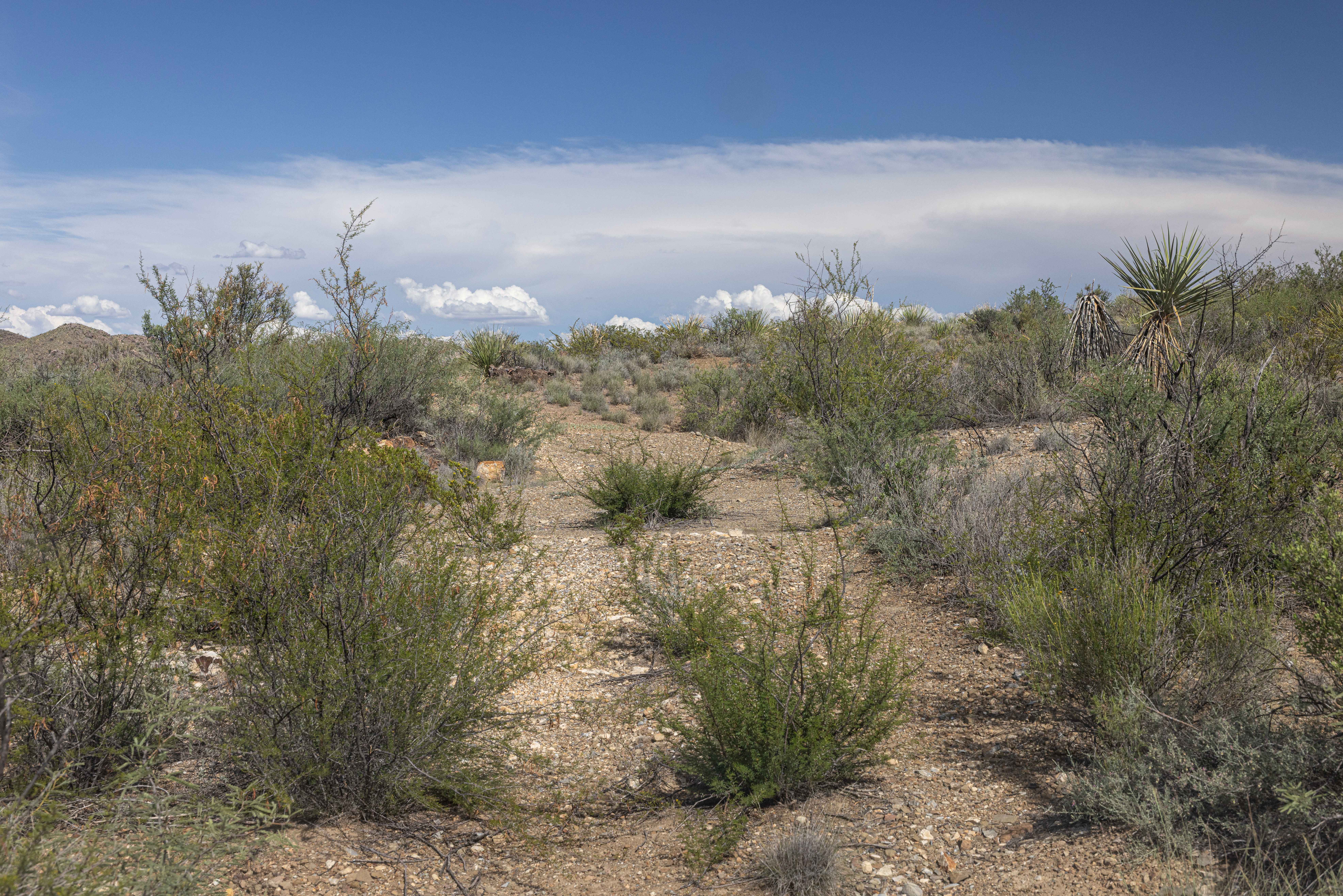
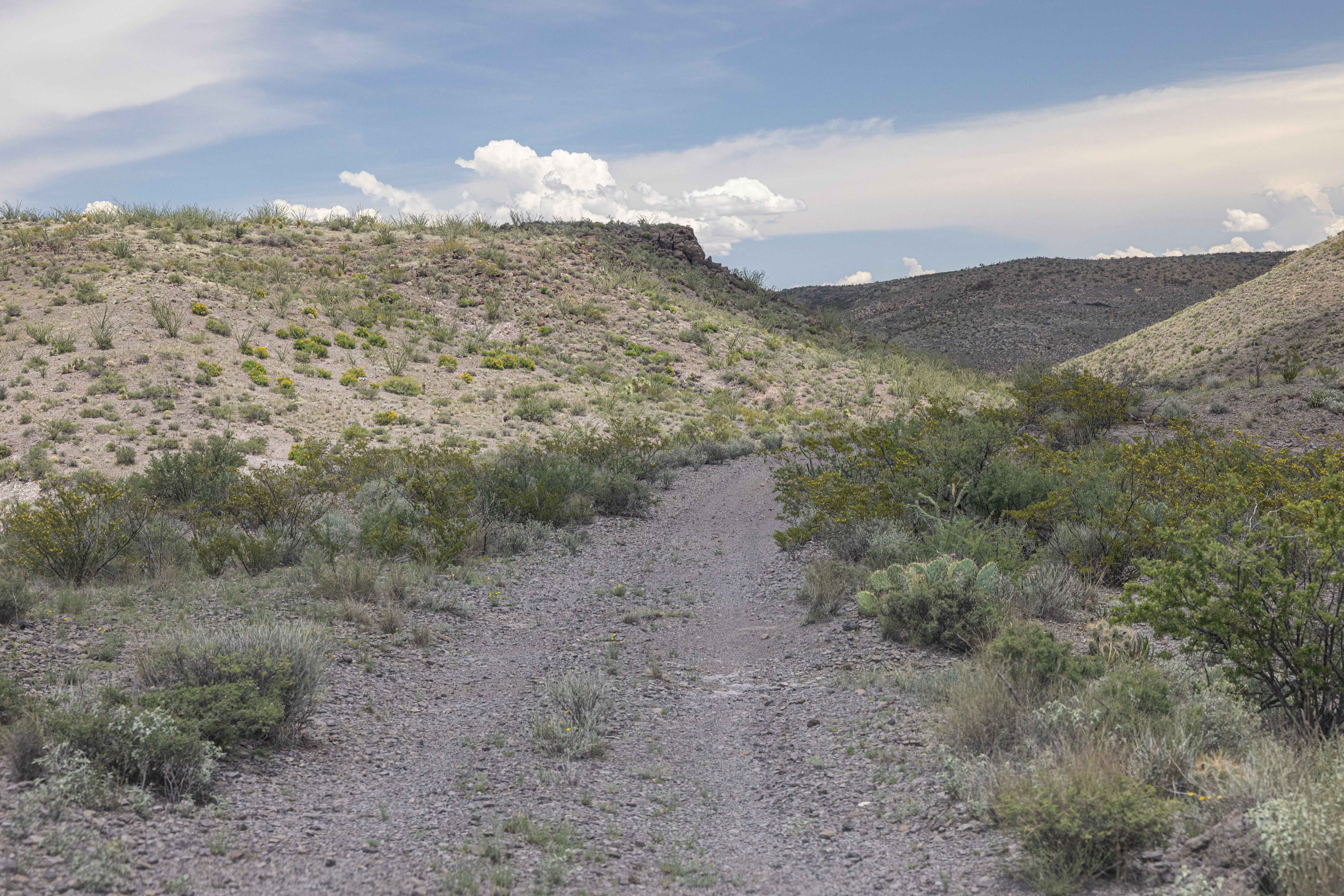
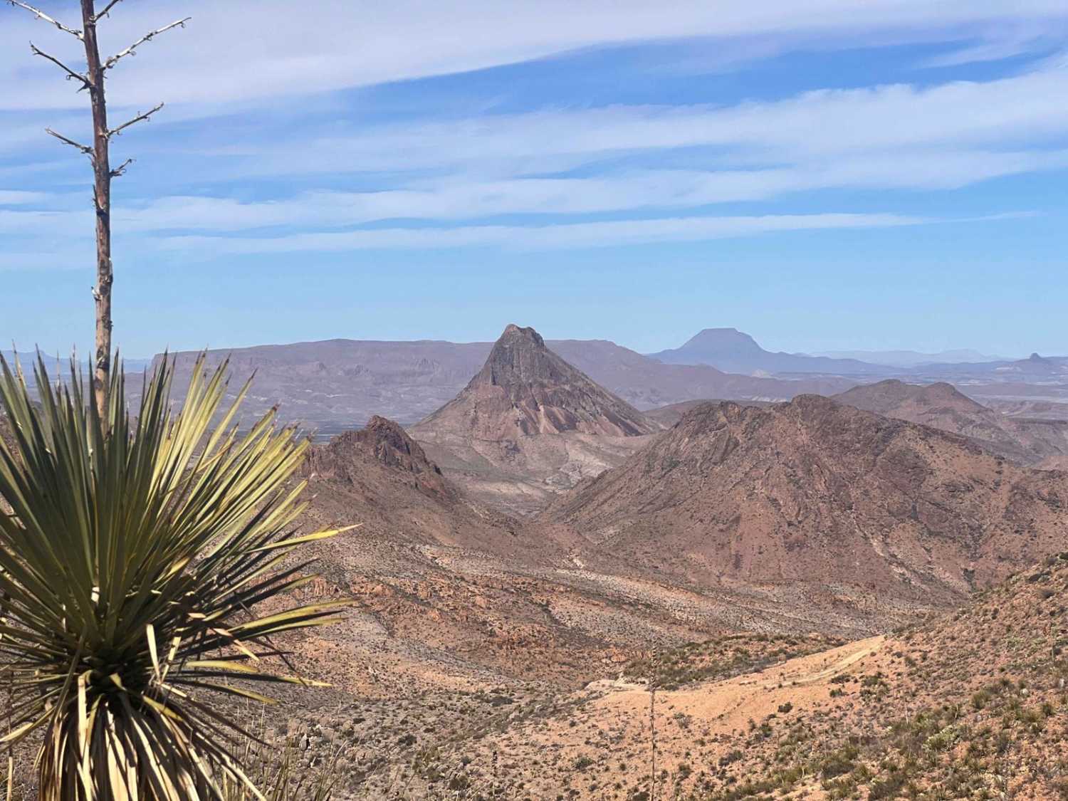
Trail Overview
Street Legal, 4WD, High Clearance vehicles only. Papalote de la Sierra Road reaches the farthest northern section of the Ranch. This remote section is part of the higher elevation known as the Cienega Region. This narrow two-track crosses dry creek beds and climbs to hill tops for wide views. There is one designated campsite along its way.
Photos of BBRSP Papalote de la Sierra
Difficulty
A rough, rocky base can cause tire damage. The dry creek bed holds flash flood potential and loose rock and sand. Not a technical drive, but the remoteness must be considered at all times.
Status Reports
BBRSP Papalote de la Sierra can be accessed by the following ride types:
- High-Clearance 4x4
- SUV
BBRSP Papalote de la Sierra Map
Popular Trails
Chicken Creek Trail
House Mountain Road
Christmas Mountain Trail
The onX Offroad Difference
onX Offroad combines trail photos, descriptions, difficulty ratings, width restrictions, seasonality, and more in a user-friendly interface. Available on all devices, with offline access and full compatibility with CarPlay and Android Auto. Discover what you’re missing today!