Bill Adams Fork
Total Miles
2.2
Technical Rating
Best Time
Spring, Summer, Fall, Winter
Trail Type
Full-Width Road
Accessible By
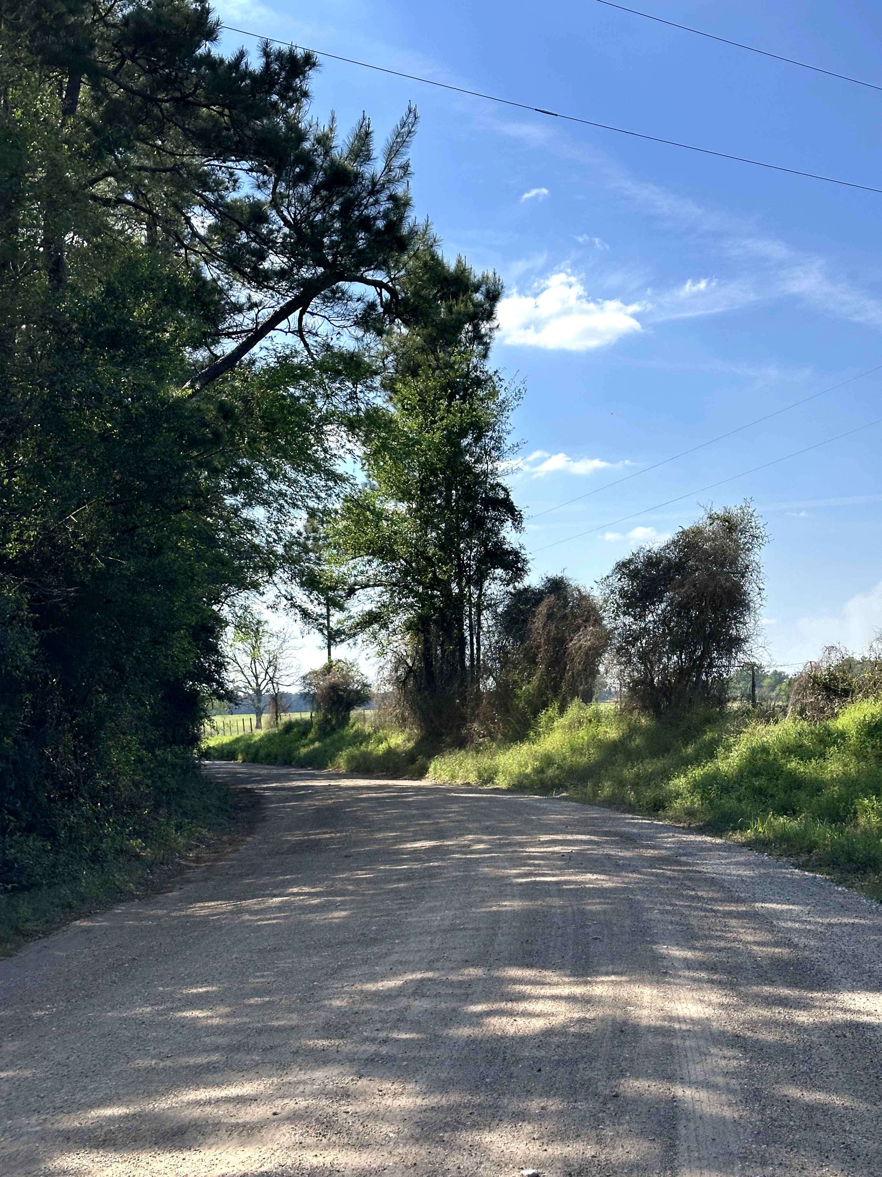
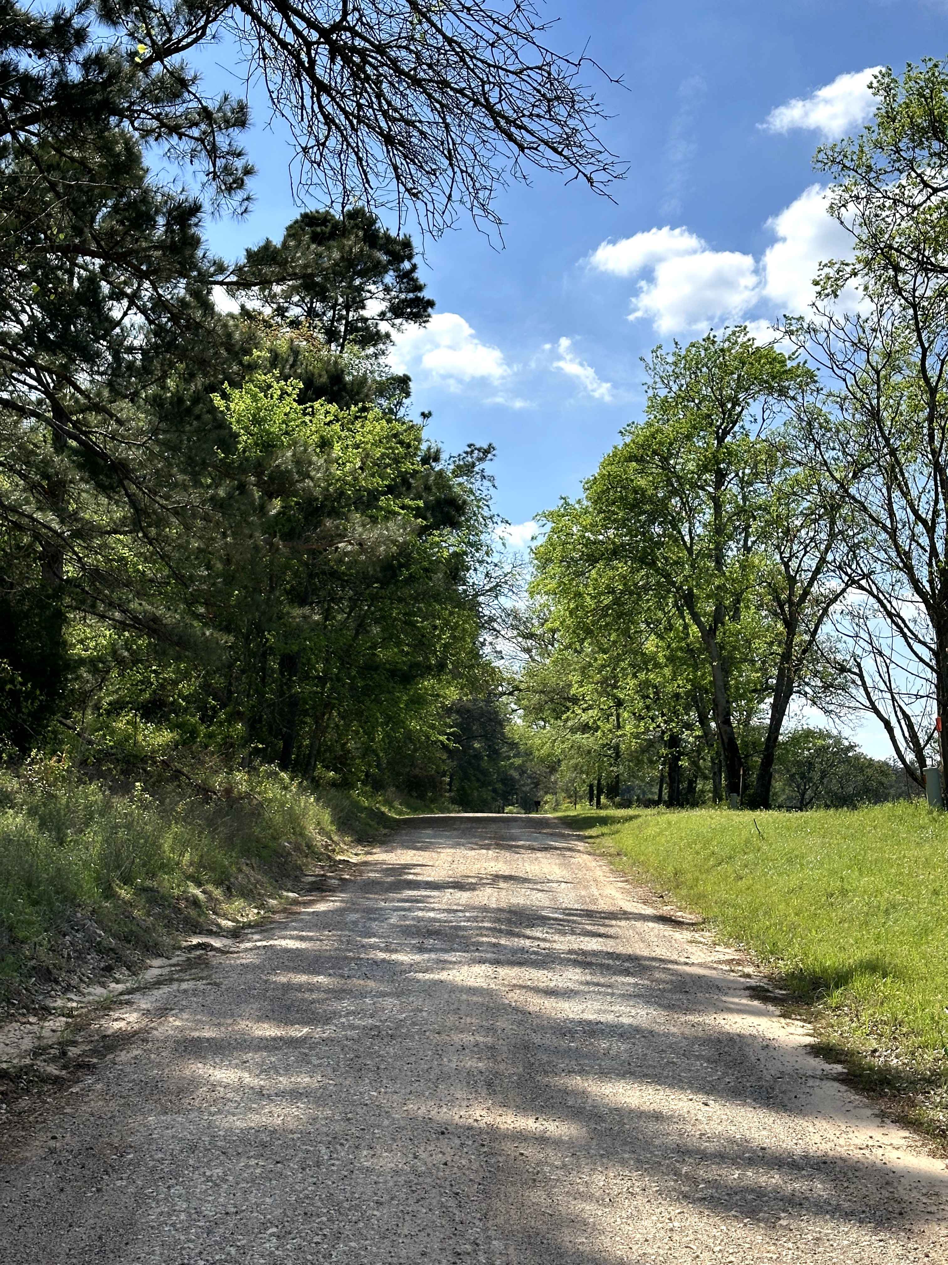
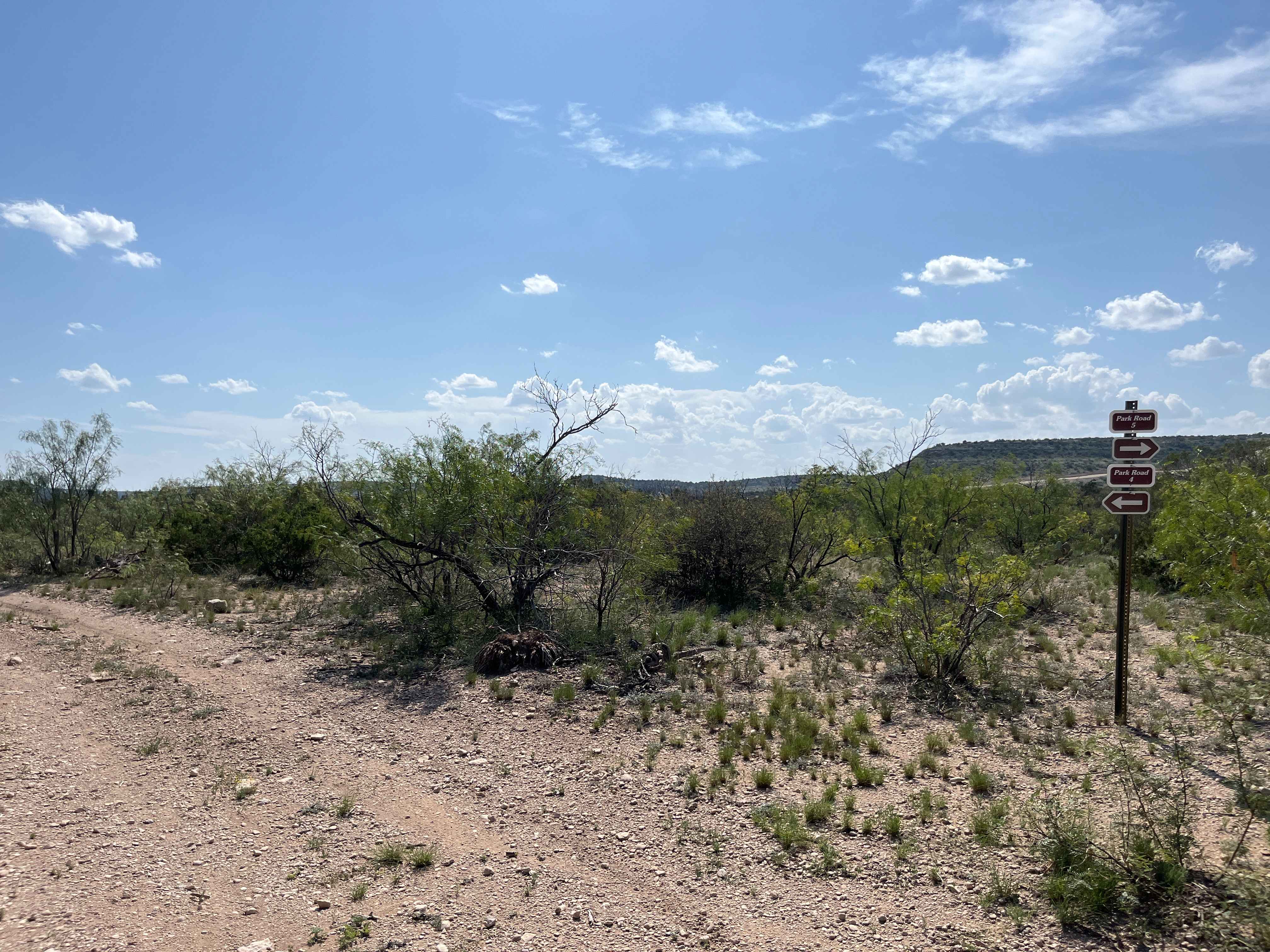
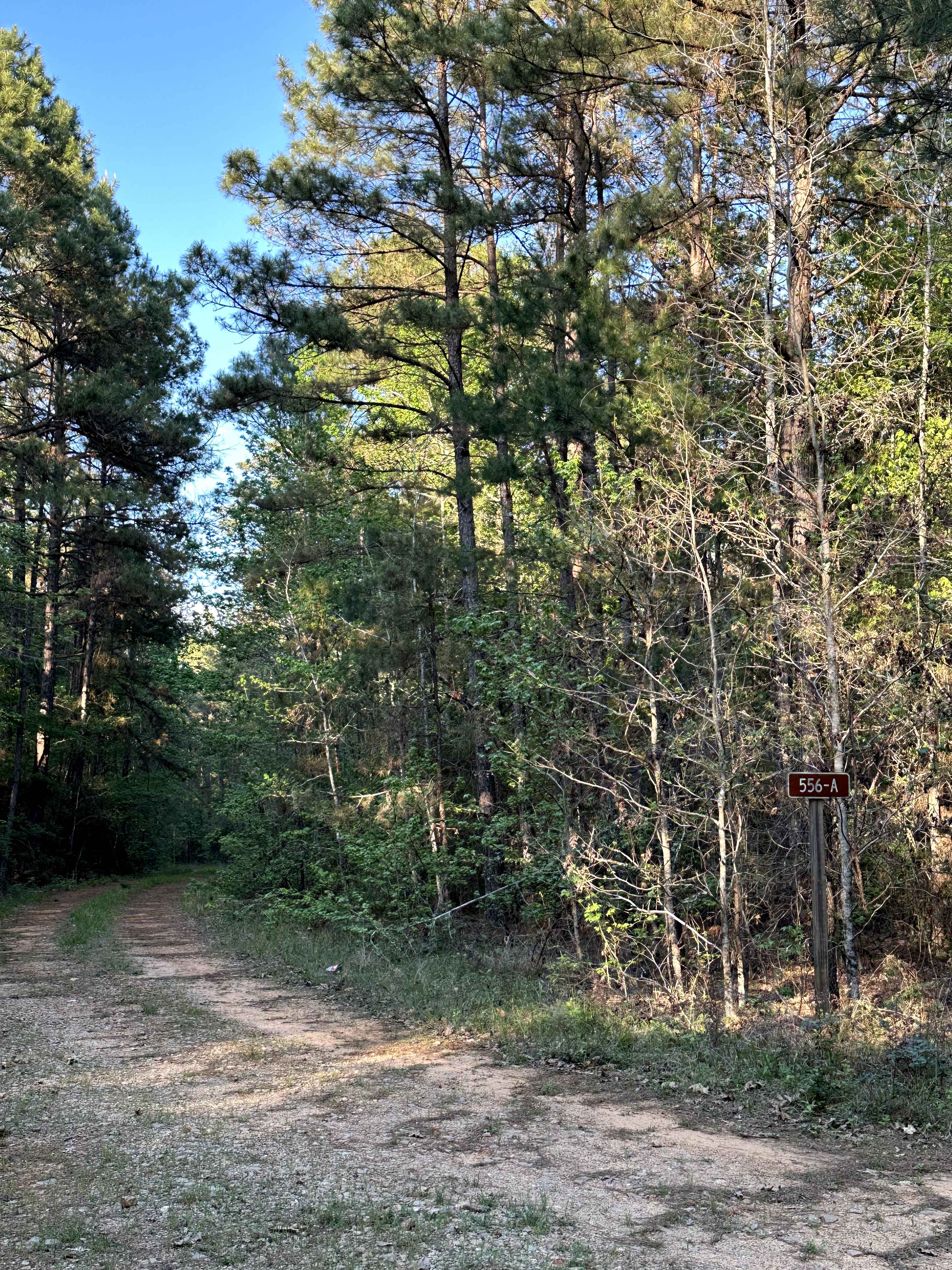
Trail Overview
Bill Adams Fork is a scenic back road in East Texas that runs through private ranch land before leading into Davy Crockett National Forest. The route offers a mix of open pasture views and tree-lined sections, giving it a classic rural feel before transitioning into the piney woods. It's a quiet, laid-back drive that serves as a good access point into the forest while showcasing the surrounding countryside.
Photos of Bill Adams Fork
Difficulty
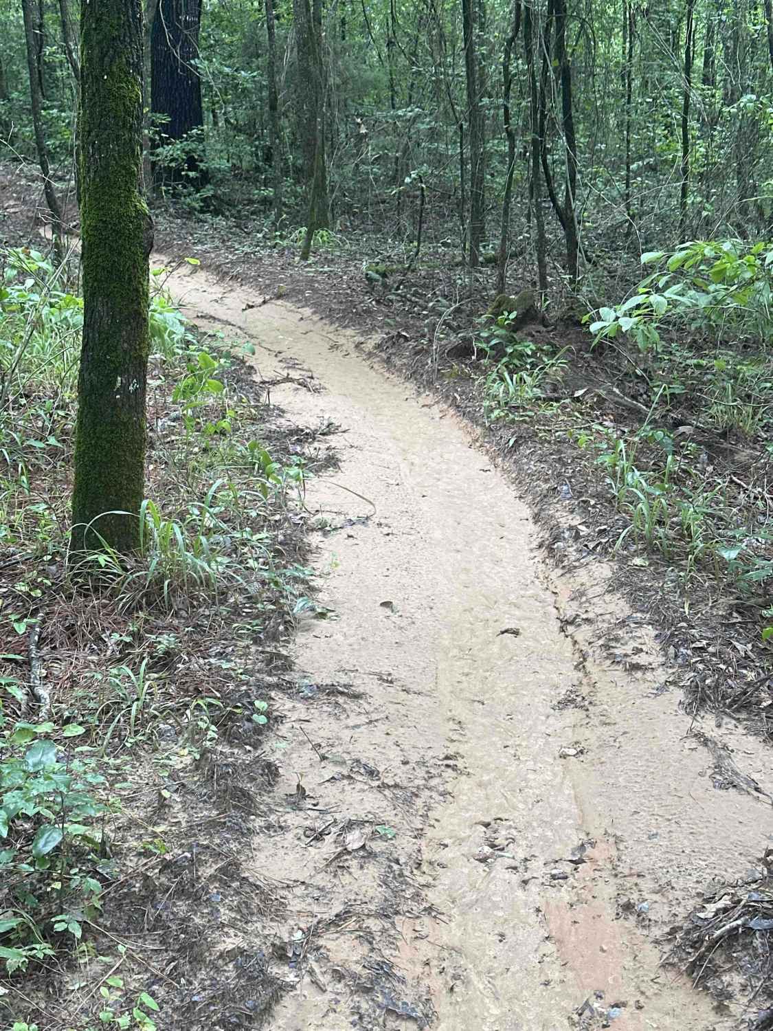
On this road, you'll find a mostly smooth dirt and gravel surface with some minor uneven sections and occasional loose gravel. In dry conditions, it's very easy to drive with no obstacles. After rain, small muddy patches and shallow puddles can develop, but are generally easy to navigate. There are no tight or technical sections. Overall, this road remains easy in most conditions.
Status Reports
Bill Adams Fork can be accessed by the following ride types:
- High-Clearance 4x4
- SUV
Bill Adams Fork Map
Popular Trails
Spider Web
Skull Canyon - V25
The onX Offroad Difference
onX Offroad combines trail photos, descriptions, difficulty ratings, width restrictions, seasonality, and more in a user-friendly interface. Available on all devices, with offline access and full compatibility with CarPlay and Android Auto. Discover what you’re missing today!