B-44
Total Miles
0.1
Technical Rating
Best Time
Spring, Summer, Winter, Fall
Trail Type
Full-Width Road
Accessible By
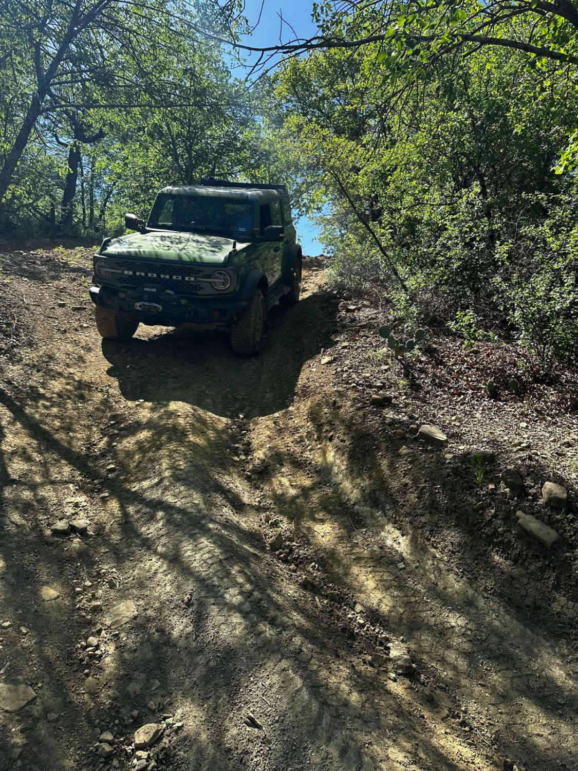
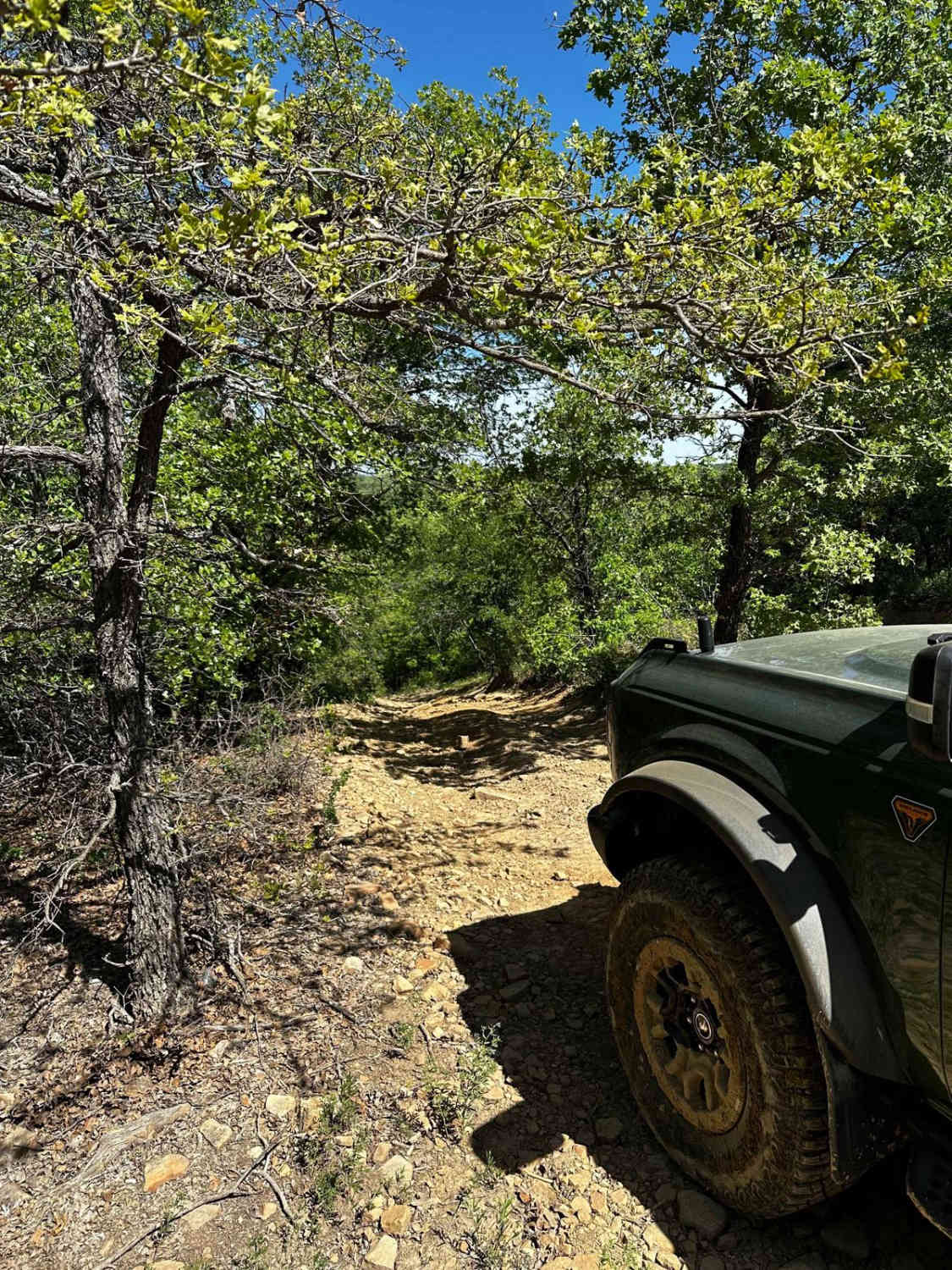
Trail Overview
B-44 is a short, easy trail that branches off of B-26E Spider Web Loop. This trail starts with a loose, rocky, and slightly rutted descent that runs parallel to B-26 Spider Web Loop. After the descent, the trail winds through trees and leads to an intersection of B-26D Spider Web Loop and B-43 trail.
Photos of B-44
Difficulty
Expect a short rocky and rutted descent.
B-44 can be accessed by the following ride types:
- High-Clearance 4x4
- SUV
- SxS (60")
- ATV (50")
- Dirt Bike
B-44 Map
Popular Trails

Old Town Trio
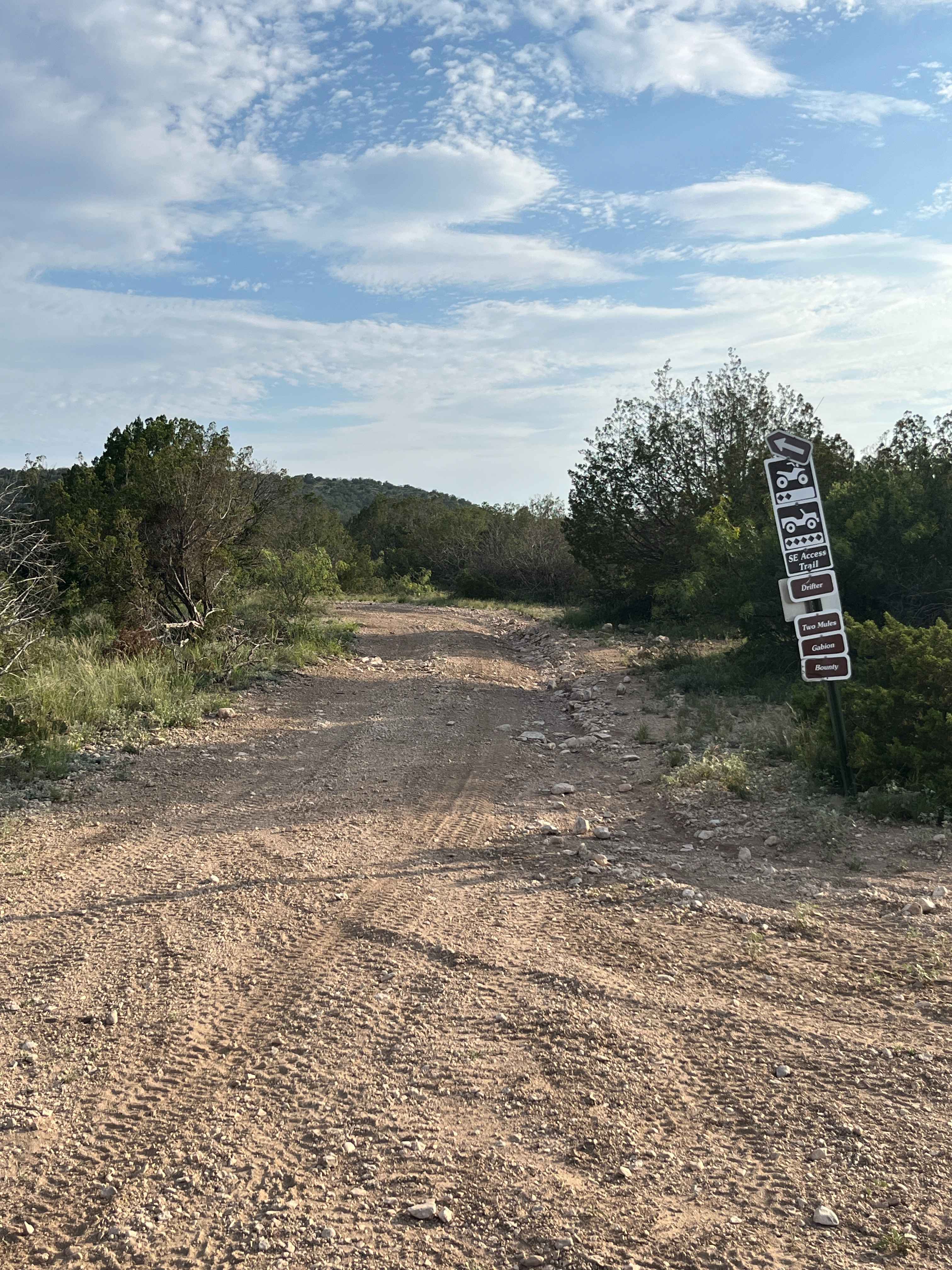
Southeast Access - V22


The onX Offroad Difference
onX Offroad combines trail photos, descriptions, difficulty ratings, width restrictions, seasonality, and more in a user-friendly interface. Available on all devices, with offline access and full compatibility with CarPlay and Android Auto. Discover what you’re missing today!