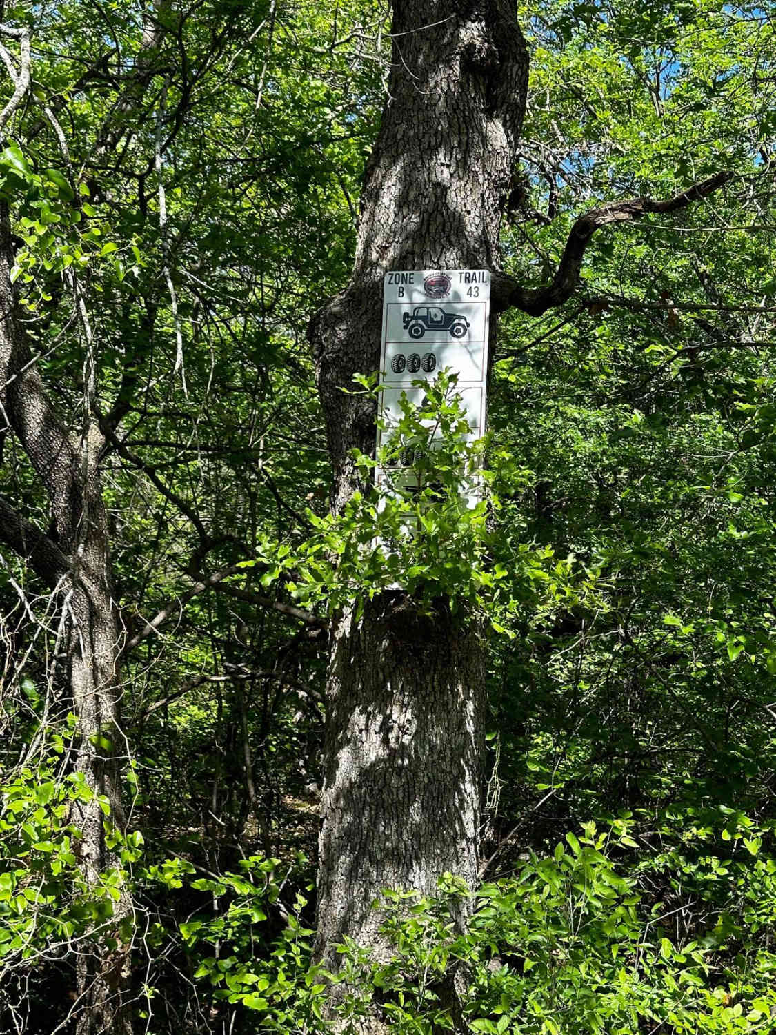
B-43
Total Miles
0.1
Technical Rating
Best Time
Summer, Spring, Fall, Winter
Trail Type
Full-Width Road
Accessible By
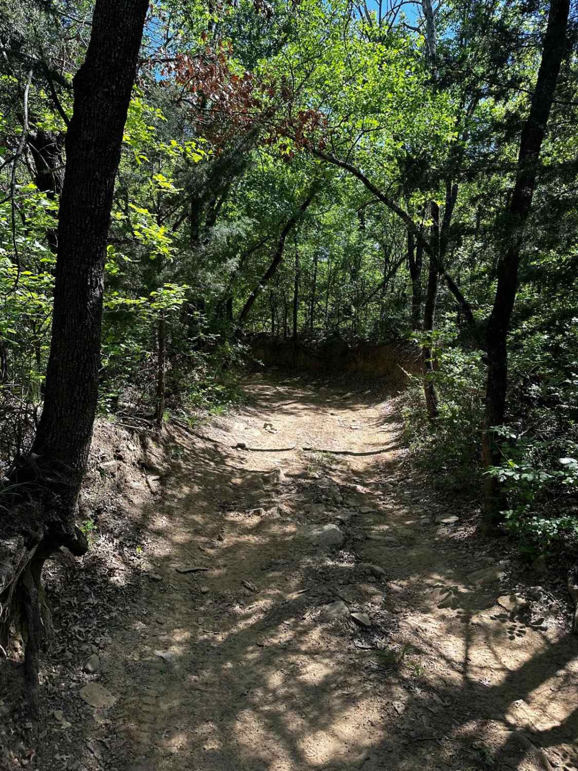
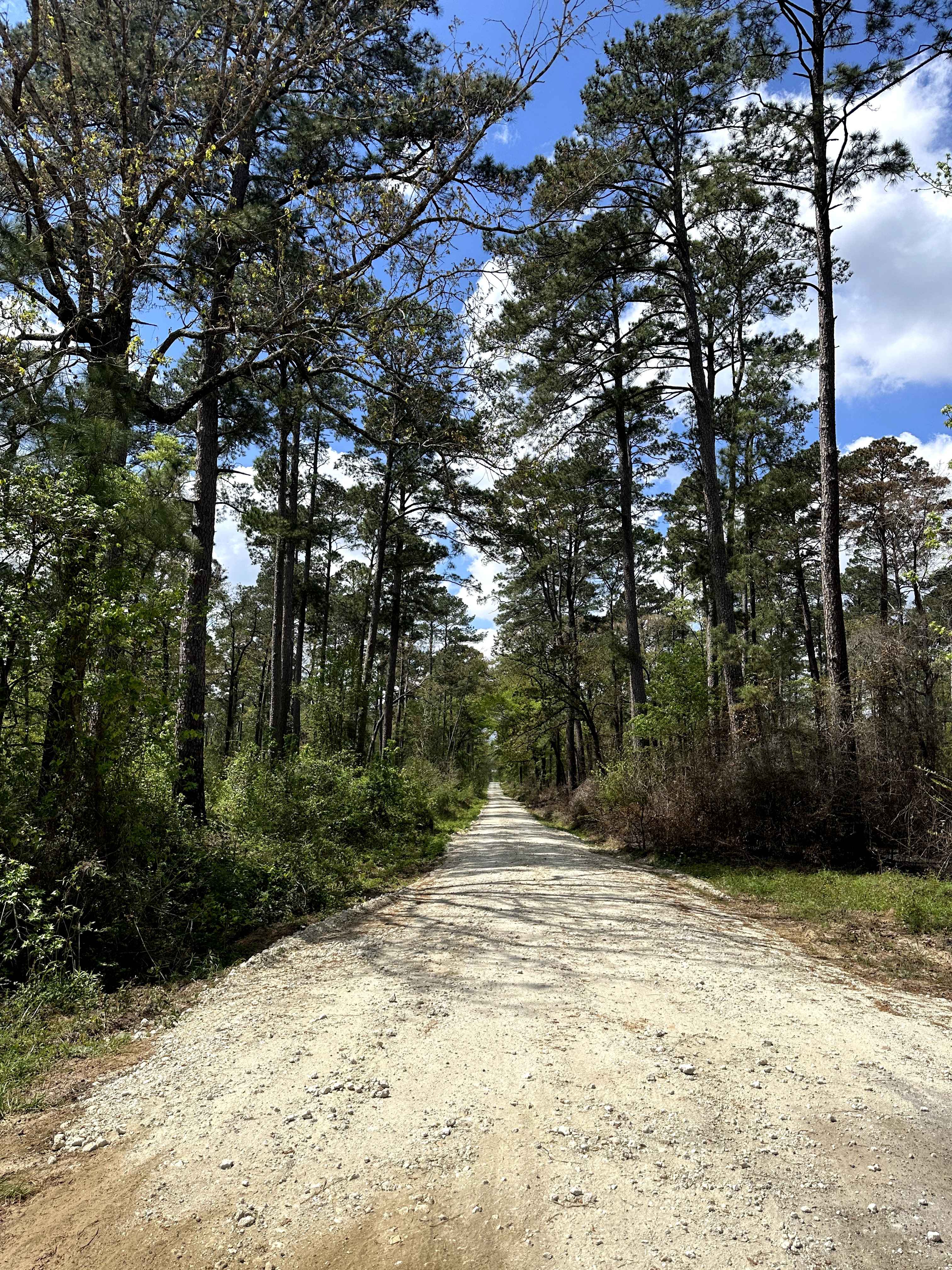
Trail Overview
B-43 starts as an easy trail through the trees and leads down to a tight wash area with dirt rock ledges and trees on each side, which could make navigation difficult in a longer vehicle. After that section, the trail takes you to a section with large, deep ruts that are very difficult to pass due to their depth, requiring 35-inch+ tires to navigate. There are plenty of trees to winch to if your vehicle gets stuck. Shortly after this section, the trail ends at Trail B-42.
Photos of B-43
Difficulty
Expect deep rutted mud holes that require 35-inch+ tires to pass through the trail.
Status Reports
B-43 can be accessed by the following ride types:
- High-Clearance 4x4
- SUV
- SxS (60")
- ATV (50")
- Dirt Bike
B-43 Map
Popular Trails
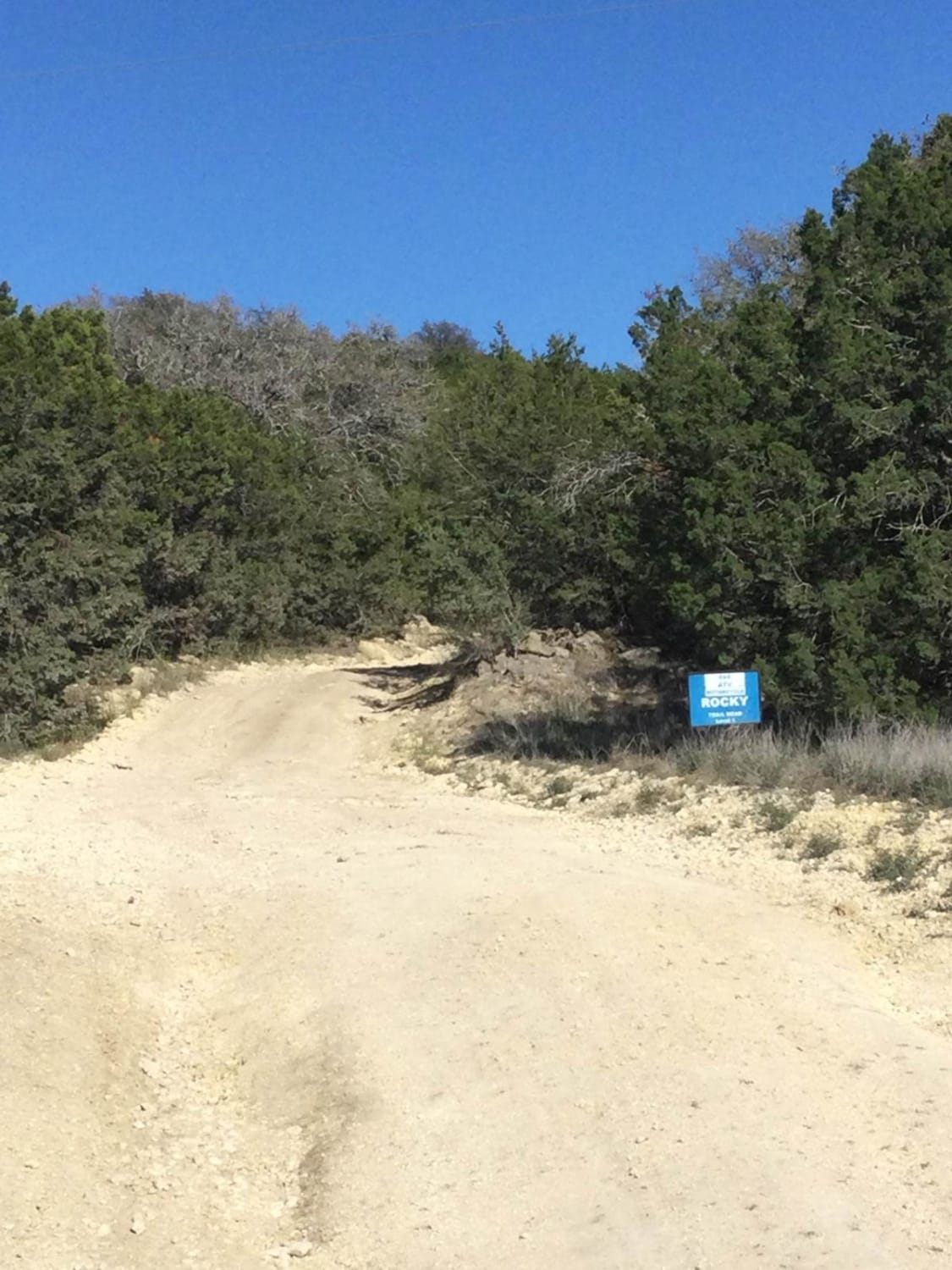
Terlingua Ranch Gate 4 Road
Broken Bridge - FS 501

Long Haul
The onX Offroad Difference
onX Offroad combines trail photos, descriptions, difficulty ratings, width restrictions, seasonality, and more in a user-friendly interface. Available on all devices, with offline access and full compatibility with CarPlay and Android Auto. Discover what you’re missing today!