Cherokee Creek
Total Miles
15.2
Technical Rating
Best Time
Spring, Fall
Trail Type
Full-Width Road
Accessible By
Trail Overview
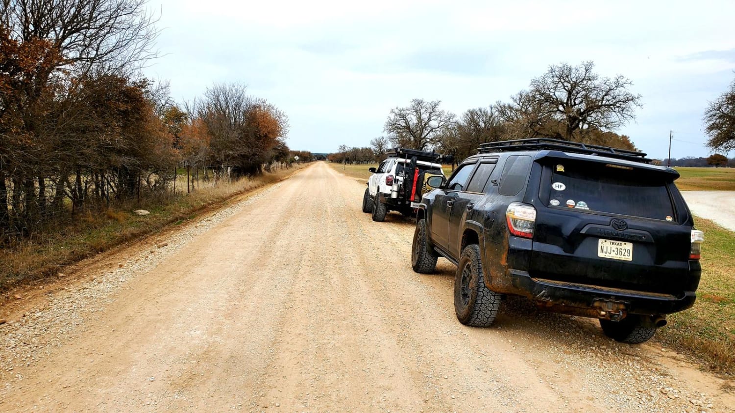
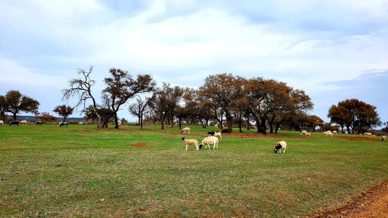
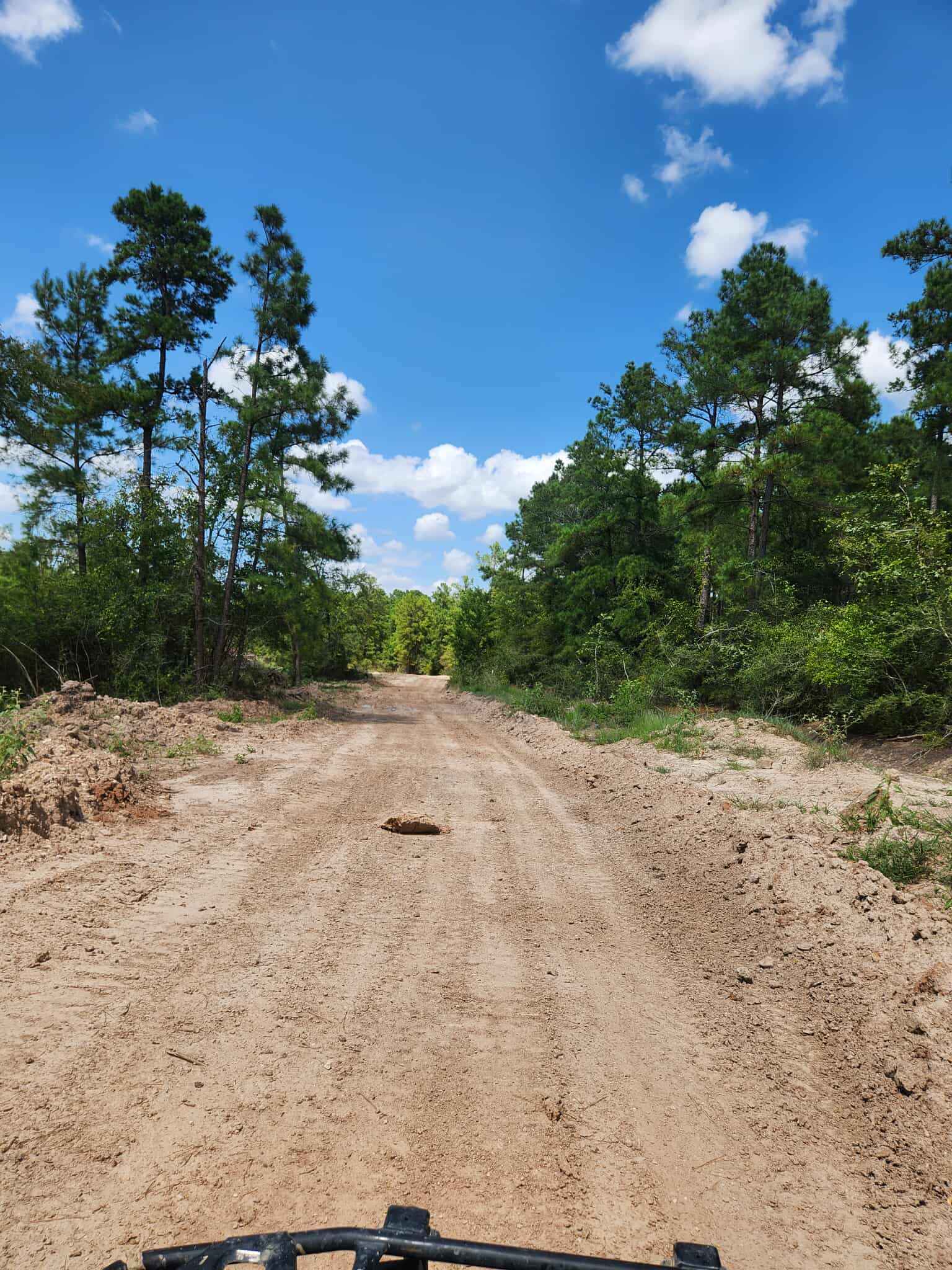
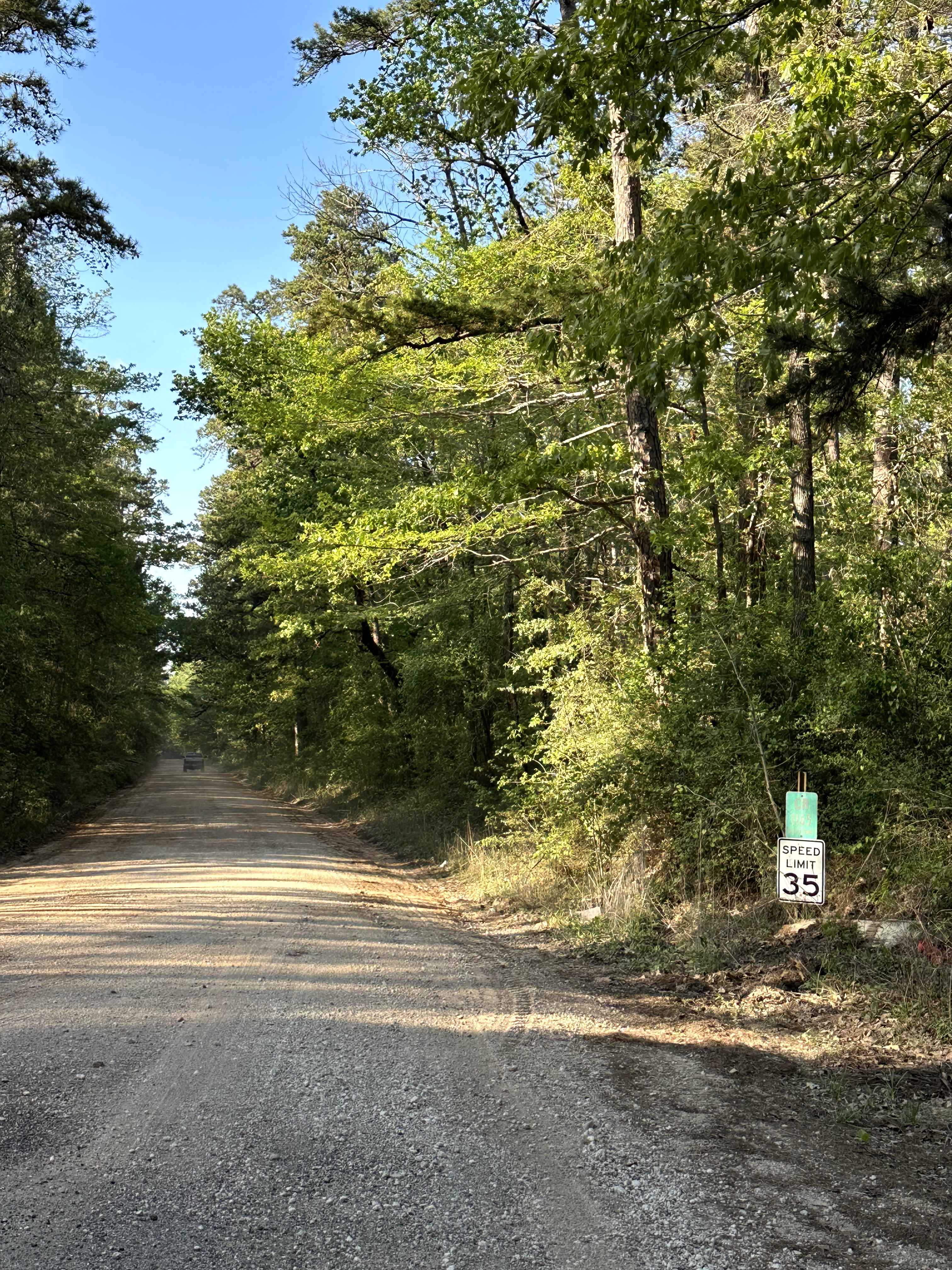
Meander through the north end of the Texas Hill Country along Cherokee Creek following unpaved county roads. Starting in the small town of Cherokee, this trail begins by turning onto County Road 409 from Hwy 16. Around the first bend in the road, pavement quickly turns to dirt and stays that way for the duration of the trail. Passing through open grazing land and between herds of sheep, remain cautious for livestock and and wild animals in the road. Sheep, cows, mule deer, and wild hogs are common. This trail features concrete bridges over Cherokee Creek, a field where a house once was, now only consisting of two standalone chimneys, a run down barn and ends at a cemetery near the town of Chappell.
Photos of Cherokee Creek
Difficulty
Road is well maintained and wide enough for passing of two vehicles in most locations.
Status Reports
Cherokee Creek can be accessed by the following ride types:
- High-Clearance 4x4
- SUV
Cherokee Creek Map
Popular Trails
Southwest Rim - V1
Old Stagecoach Road
East Fence
County Road 1165
The onX Offroad Difference
onX Offroad combines trail photos, descriptions, difficulty ratings, width restrictions, seasonality, and more in a user-friendly interface. Available on all devices, with offline access and full compatibility with CarPlay and Android Auto. Discover what you’re missing today!