BBRSP Casa Ramon Trail
Total Miles
5.6
Technical Rating
Best Time
Spring, Summer, Fall, Winter
Trail Type
Full-Width Road
Accessible By
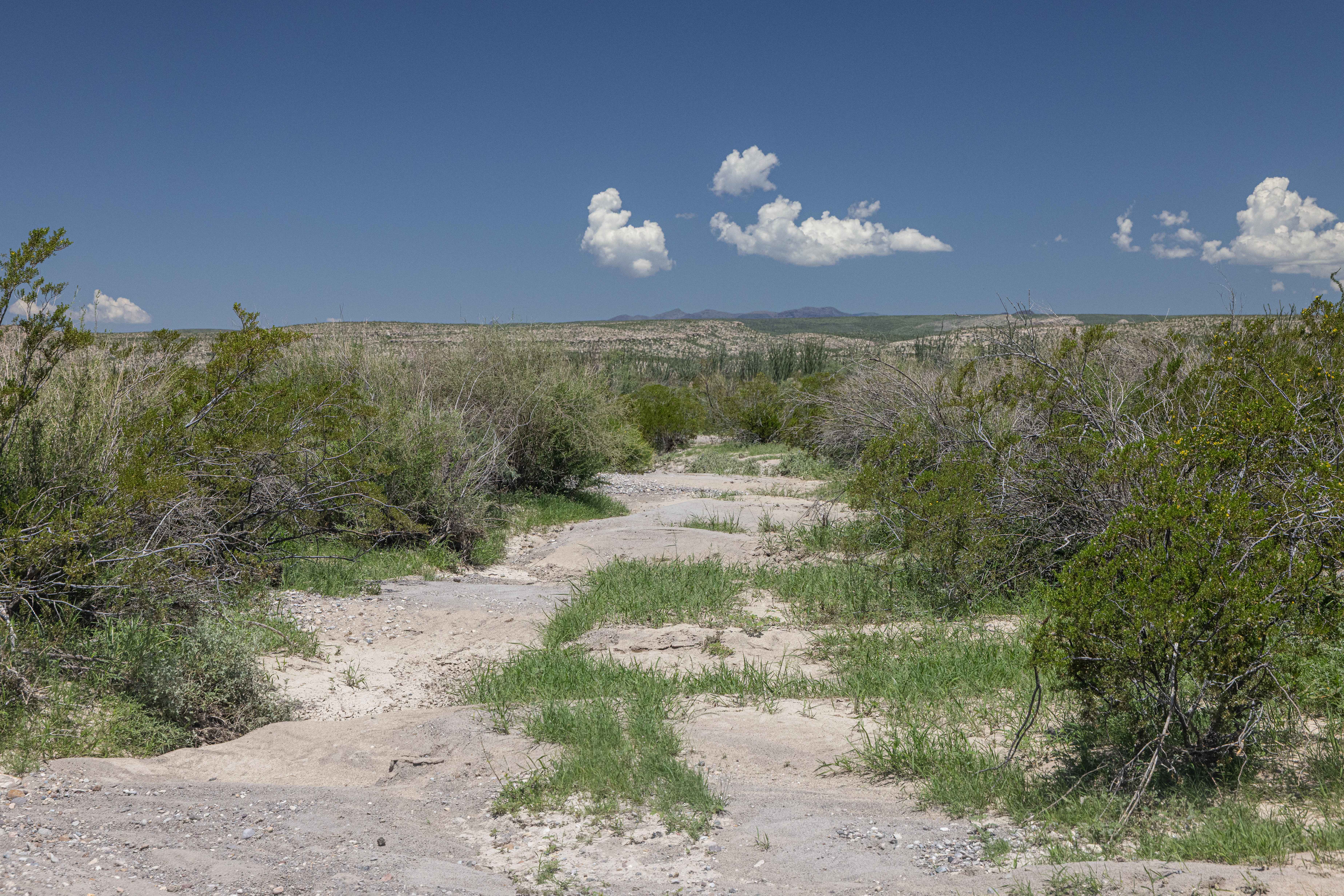
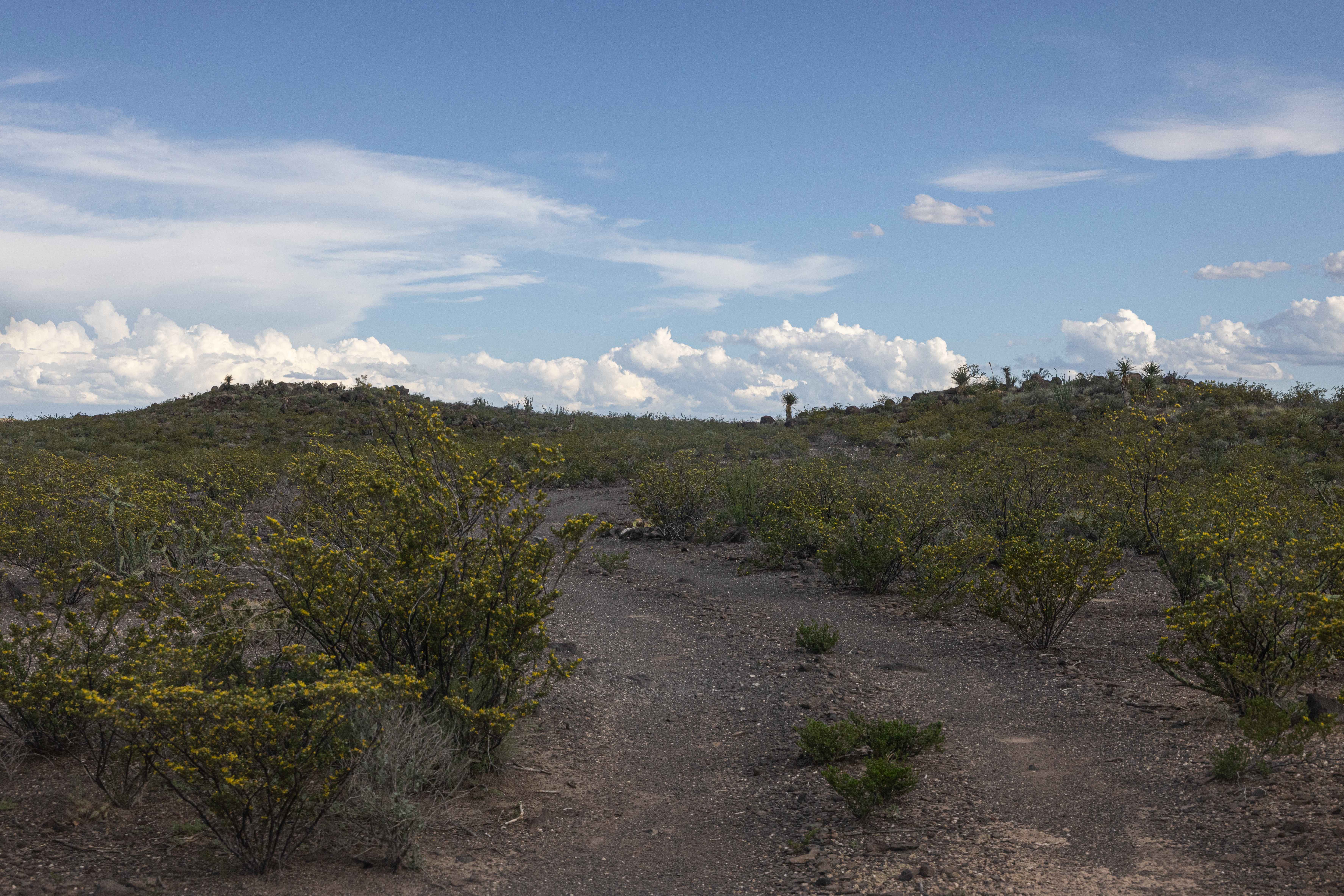
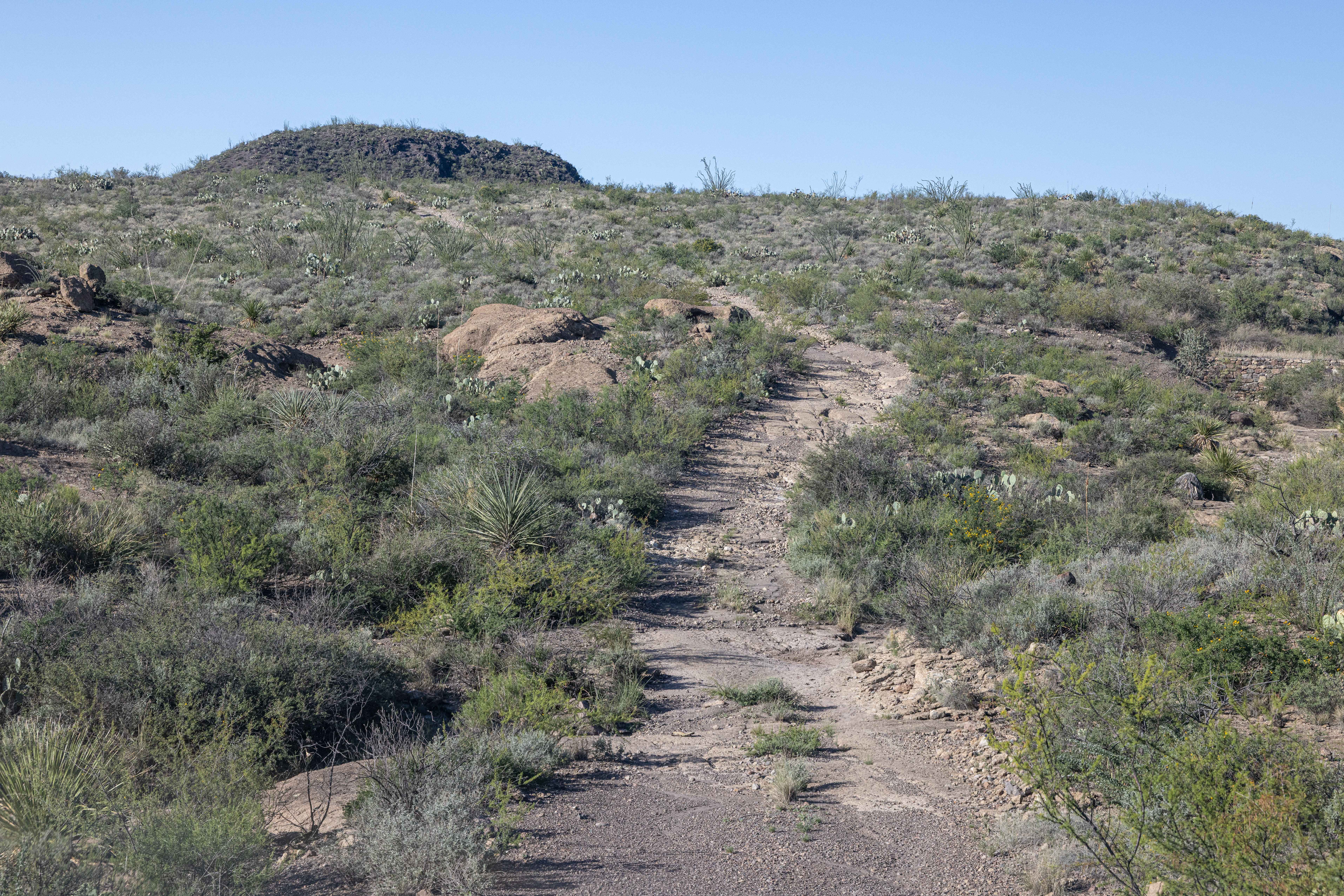
Trail Overview
Street Legal, 4WD, High Clearance vehicles only. This is currently an out-and-back, as there is an eight-foot wall near the RR tracks at the north end of the road. This two-track wanders through the southern section of the Cienega Region with its current end after the Alamito Creek crossing. It holds a few dry creek beds and plenty of pinstriping.
Photos of BBRSP Casa Ramon Trail
Difficulty
As this is not a technical drive, the entry and exit of the Alamito Creek banks can be a challenge with the silt and sand. This road originally went to the Casa Ramon ruins, but there is a large eight-foot wall dropping into a dry creek just short of the RR tracks that is impassable.
Status Reports
BBRSP Casa Ramon Trail can be accessed by the following ride types:
- High-Clearance 4x4
- SUV
BBRSP Casa Ramon Trail Map
Popular Trails

Royal Gorge

East Fence
BBRSP La Mota Road
The onX Offroad Difference
onX Offroad combines trail photos, descriptions, difficulty ratings, width restrictions, seasonality, and more in a user-friendly interface. Available on all devices, with offline access and full compatibility with CarPlay and Android Auto. Discover what you’re missing today!