BBRSP - Guale Mesa Road
Total Miles
6.0
Technical Rating
Best Time
Spring, Summer, Fall, Winter
Trail Type
Full-Width Road
Accessible By
Trail Overview
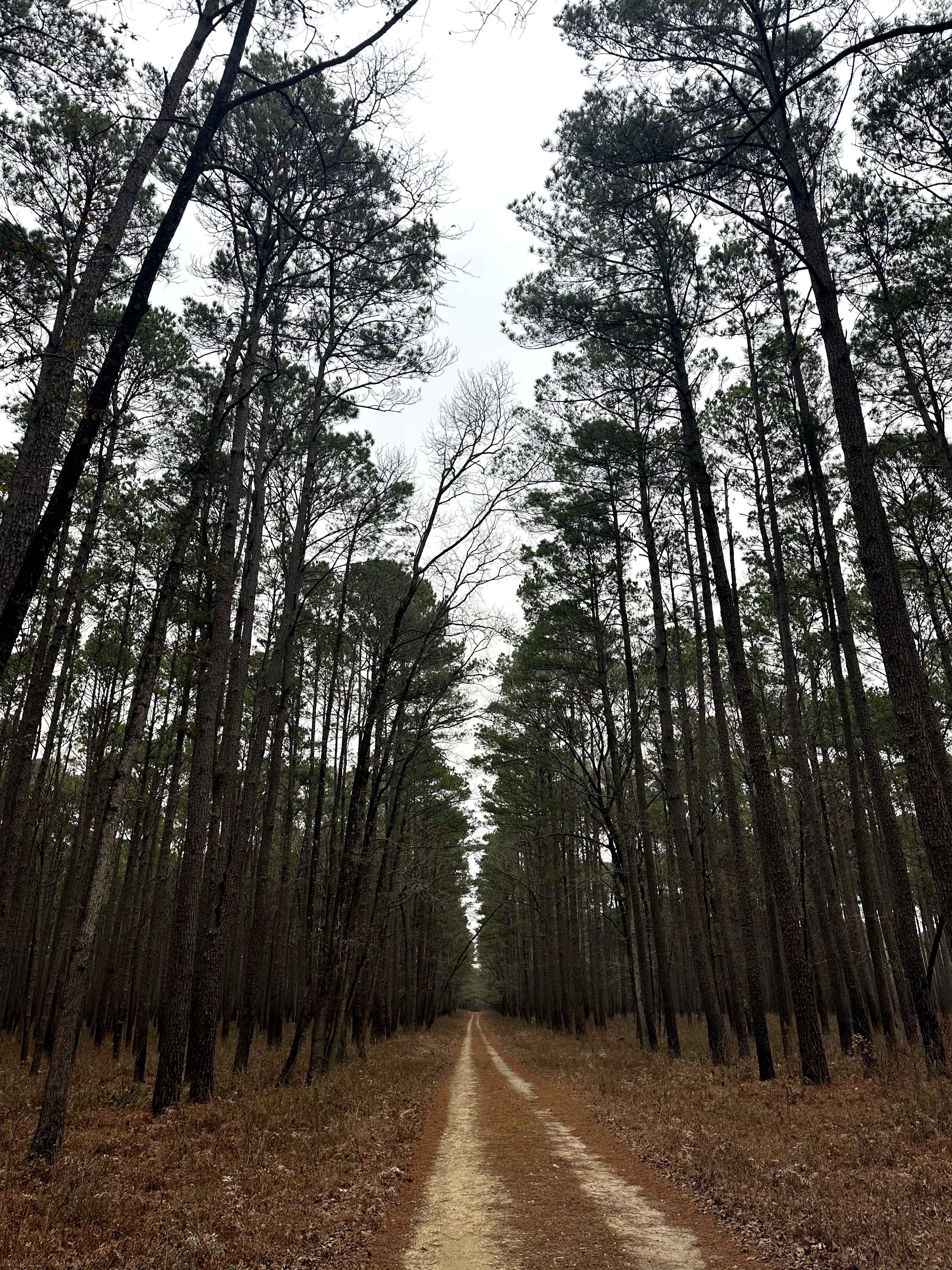
Street Legal, 4WD, High Clearance vehicles only. This road leads to one of the most scenic views in the Park. Expect rolling hills, some loose rocks, and the highest level of pinstriping in the Park while traversing the creek bed. This is an out-and-back once passing the Rancherias Loop intersection. Guale Mesa Trailhead is the gateway for hiking in the Park. The longest hiking trails with the most elevation changes start at this trailhead. The most sought-after campsite, Guale 2, is at the end of the road.
Photos of BBRSP - Guale Mesa Road
Difficulty
Guale Mesa Road is only maintained when the road is restricted by nature. Officials will keep the road open to allow access to the hiking trailhead. Departing Guale 2, there is one off-camber section that requires full attention of the driver as it is loose rock, and most vehicles will lift a wheel. This road is a narrow two-track, and leaving the surface will result in tire damage.
History
This was one of the wagon trails that accessed the Ranch from the Rio Grande below. Remnants of the road can still be seen from the campsites, and one should be encouraged to hike the old trail to see the stone work in place to keep the trail from washing out.
Status Reports
BBRSP - Guale Mesa Road can be accessed by the following ride types:
- High-Clearance 4x4
- SUV
BBRSP - Guale Mesa Road Map
Popular Trails
Black Gap 4x4 Trail
Harrisontown - FS 521
Sinclair - FS 203

Upland Island Wilderness Rockcrusher
The onX Offroad Difference
onX Offroad combines trail photos, descriptions, difficulty ratings, width restrictions, seasonality, and more in a user-friendly interface. Available on all devices, with offline access and full compatibility with CarPlay and Android Auto. Discover what you’re missing today!