BBRSP - Solitario Road
Total Miles
8.2
Technical Rating
Best Time
Spring, Summer, Fall, Winter
Trail Type
Full-Width Road
Accessible By
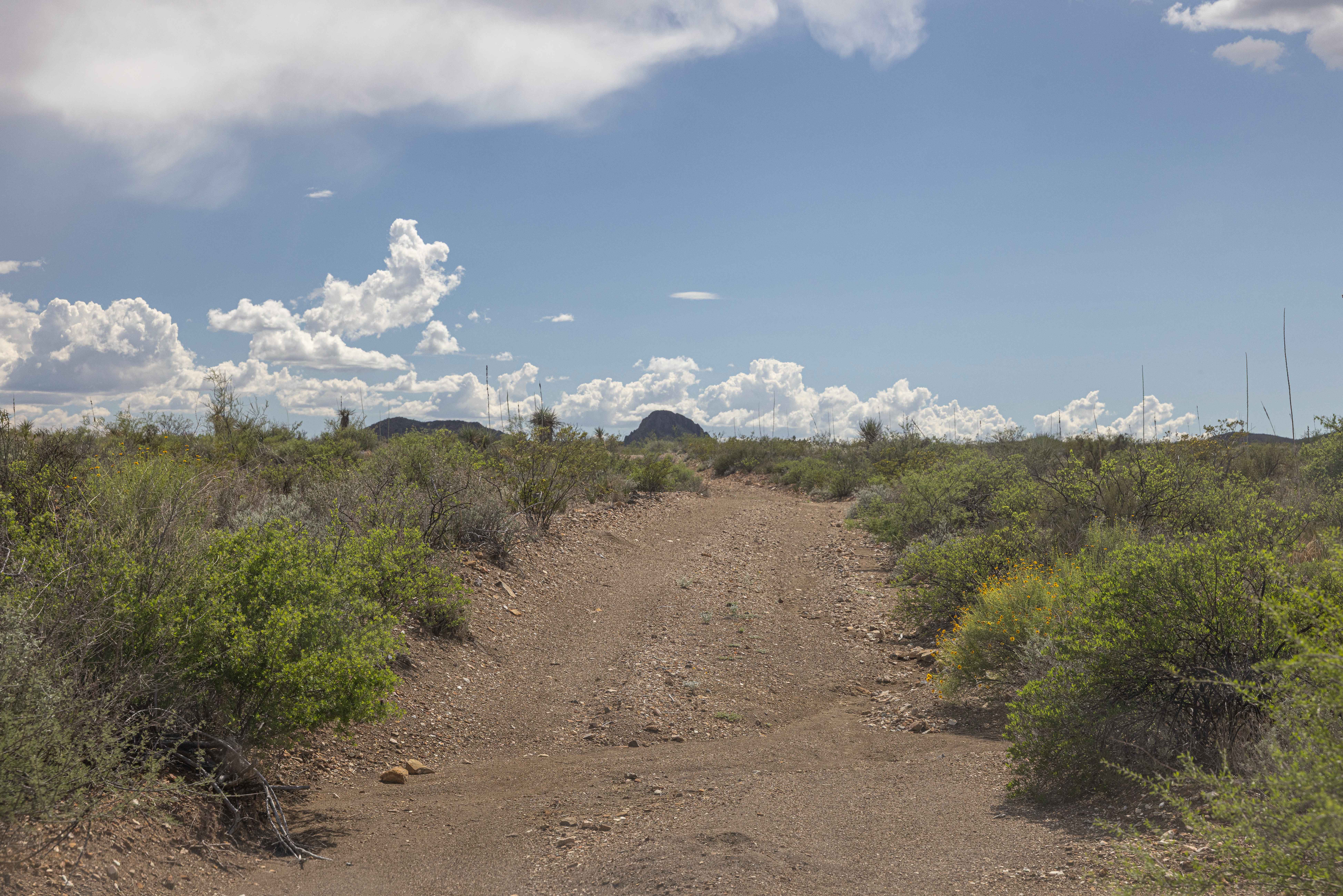
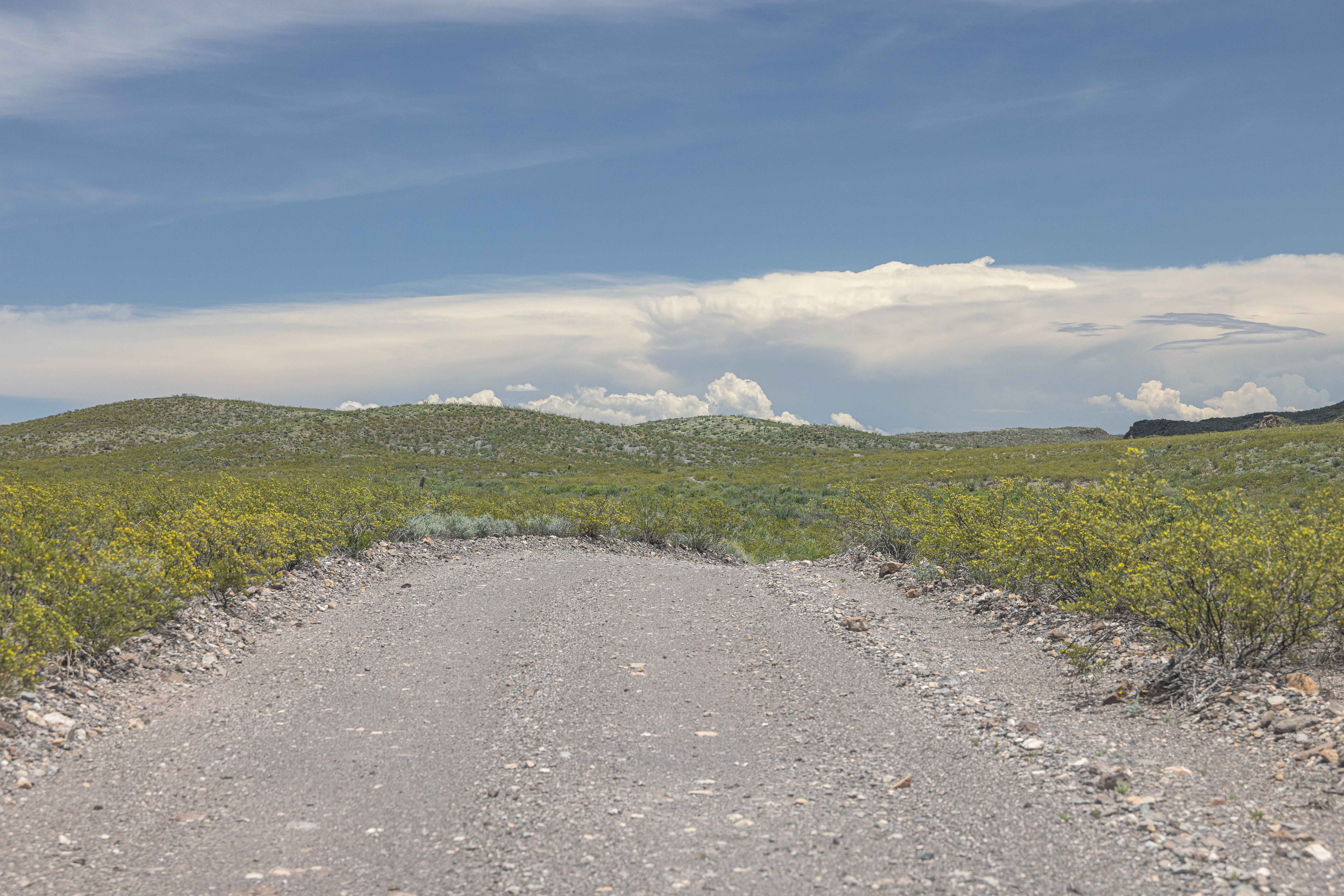
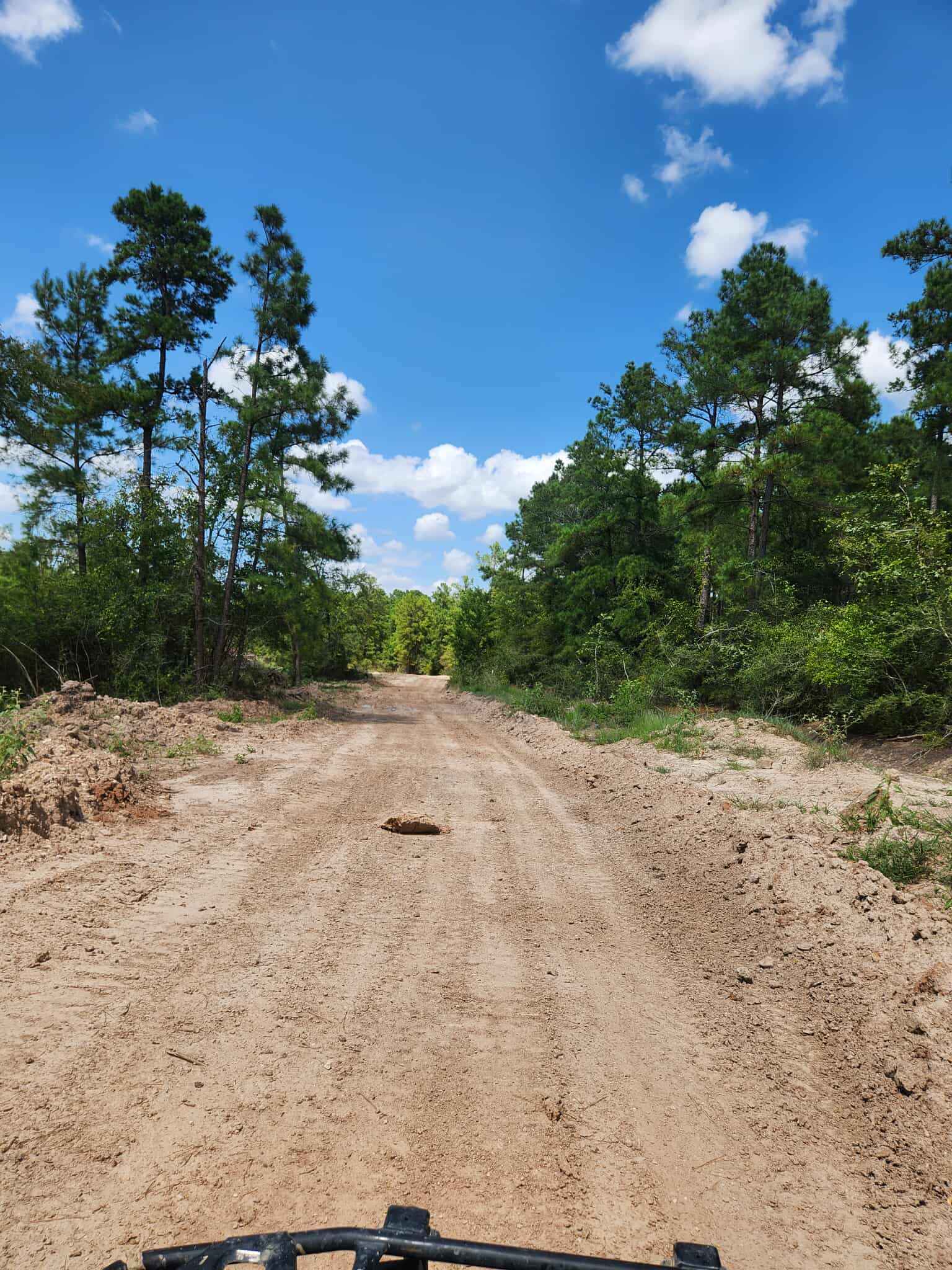
Trail Overview
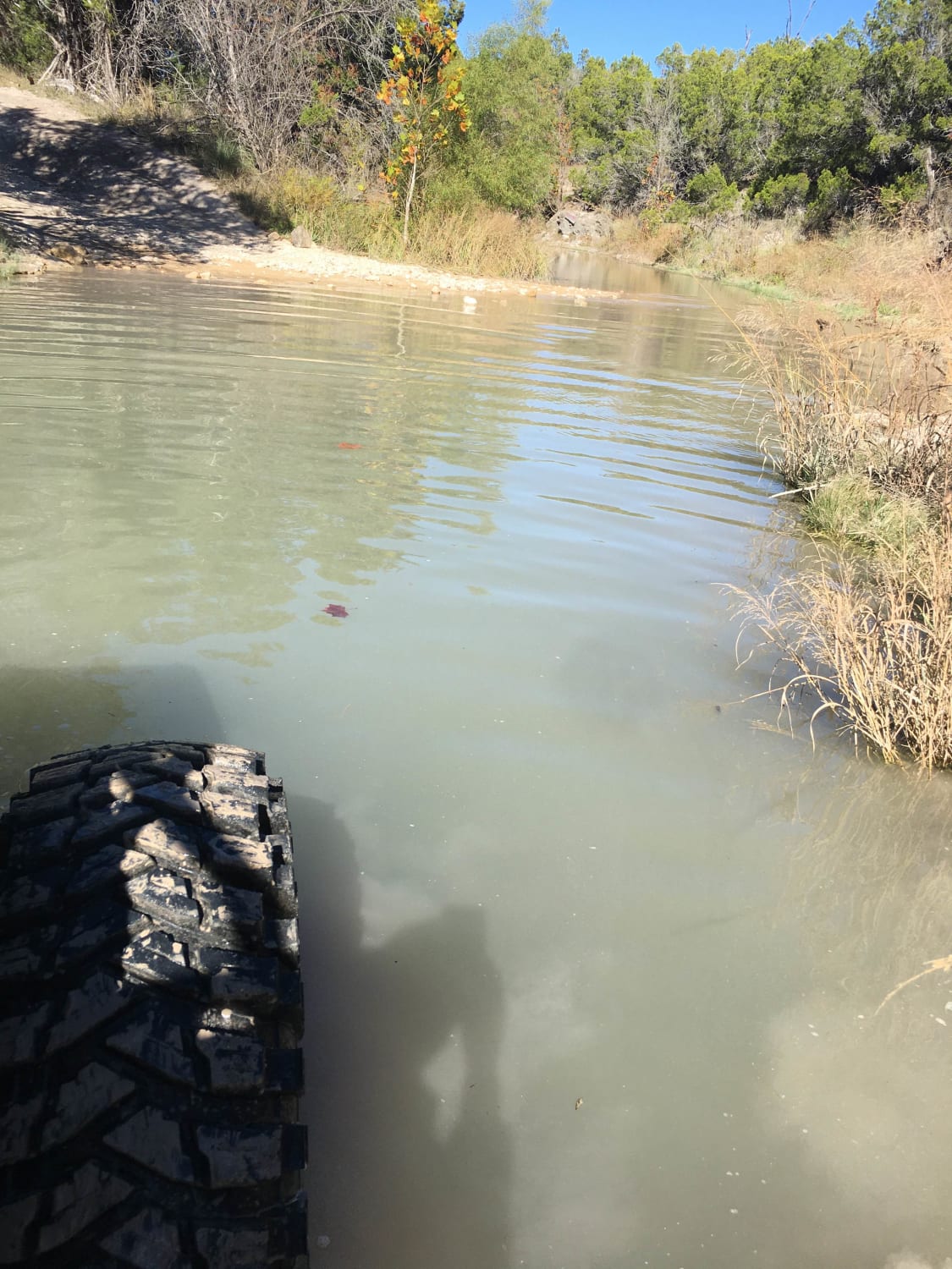
Street Legal Vehicles ONLY. 2WD High Clearance. This road offers many side spurs along its way to the Tres Papalotes group campsite. This road has multiple dry creek bed crossings; use caution during heavy rains. Flash flooding can occur. Solitario Road enters the Solitario proper from the North end and provides access to multiple hiking trailheads inside the Solitario.
Photos of BBRSP - Solitario Road
Difficulty
This road is not technical and is maintained as needed. It does run inside a creek bed for a short time, and caution should be taken during heavy rain.
History
Along the south side of the Solitario, there are ruins of two mines, one Manganese and one Uranium.
Status Reports
BBRSP - Solitario Road can be accessed by the following ride types:
- High-Clearance 4x4
- SUV
BBRSP - Solitario Road Map
Popular Trails
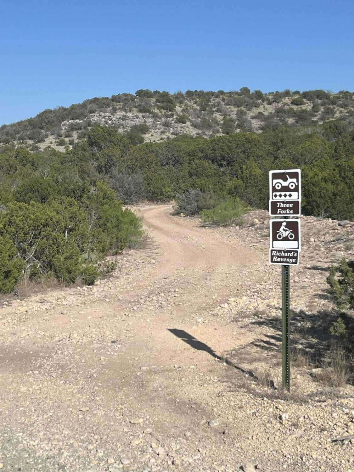
Three Forks Trail - V2
East Fence
The onX Offroad Difference
onX Offroad combines trail photos, descriptions, difficulty ratings, width restrictions, seasonality, and more in a user-friendly interface. Available on all devices, with offline access and full compatibility with CarPlay and Android Auto. Discover what you’re missing today!