Off-Road Trails in Arizona
Discover off-road trails in Arizona

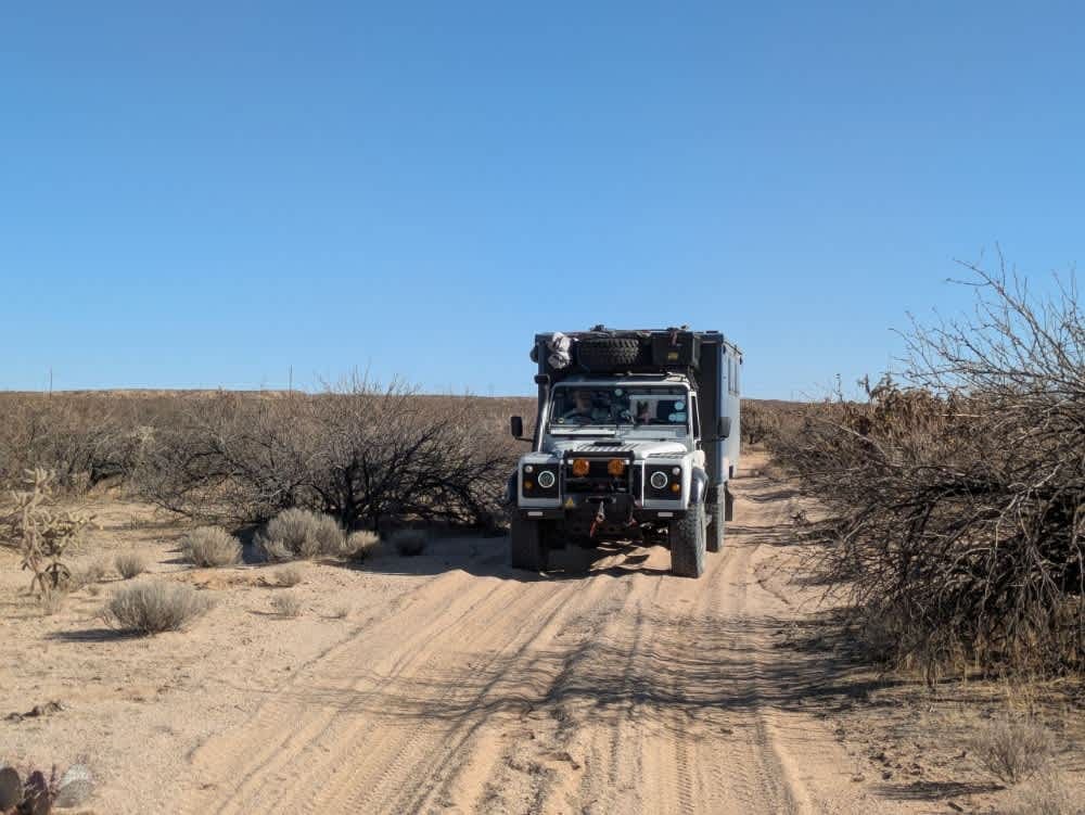


Learn more about St Clair OHV from Camp Creek to Kentuck Staging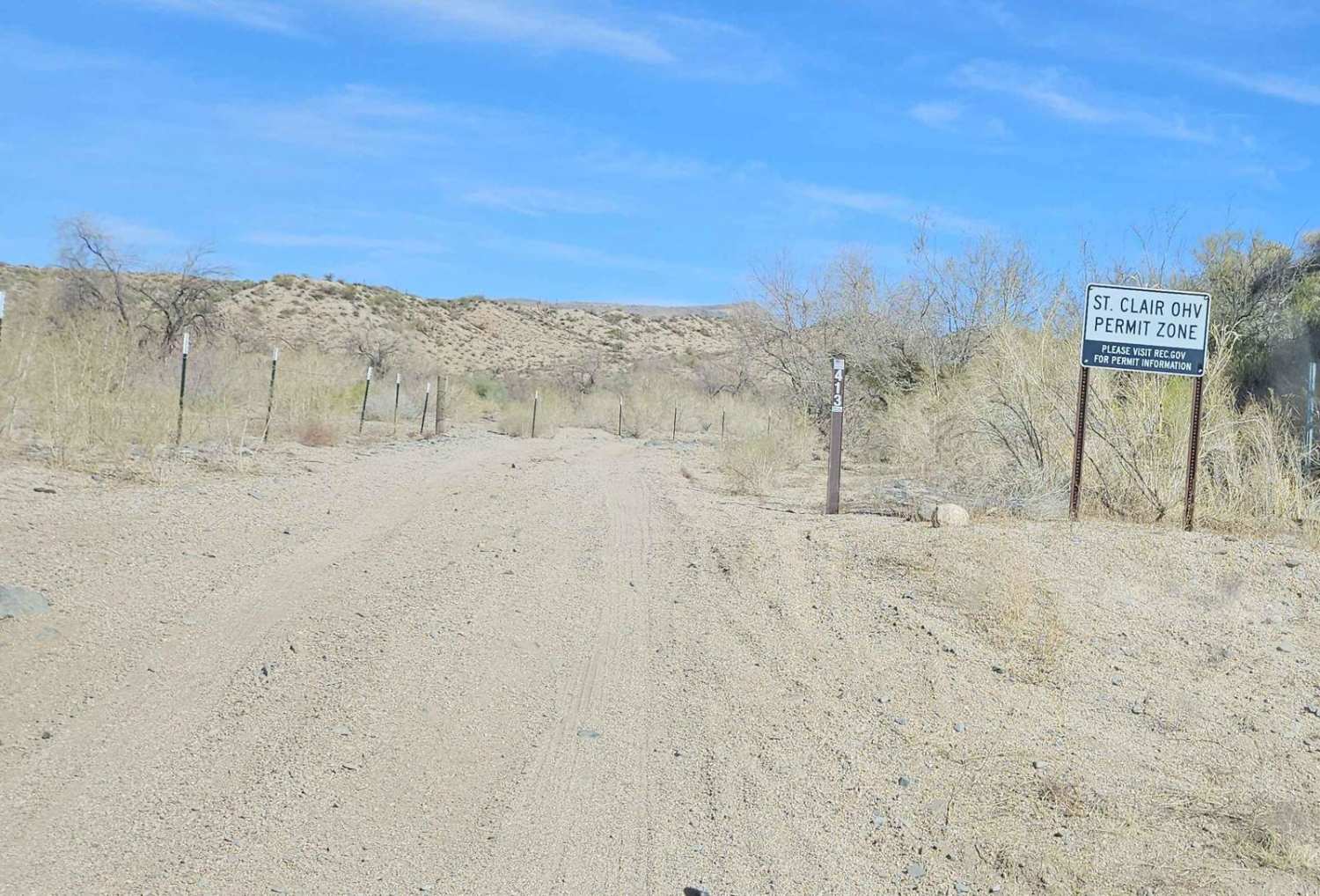
St Clair OHV from Camp Creek to Kentuck Staging
Total Miles
6.2
Tech Rating
Easy
Best Time
Spring, Fall, Winter
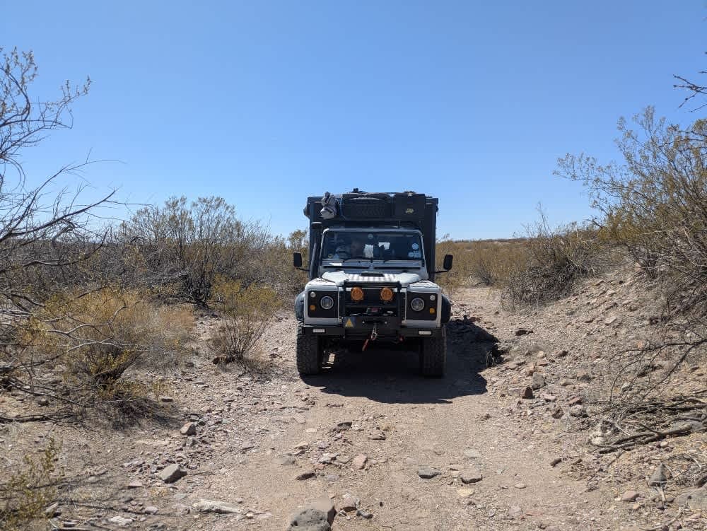
Learn more about St. Claire OHV Loop
St. Claire OHV Loop
Total Miles
7.1
Tech Rating
Easy
Best Time
Spring, Fall, Winter, Summer
ATV trails in Arizona
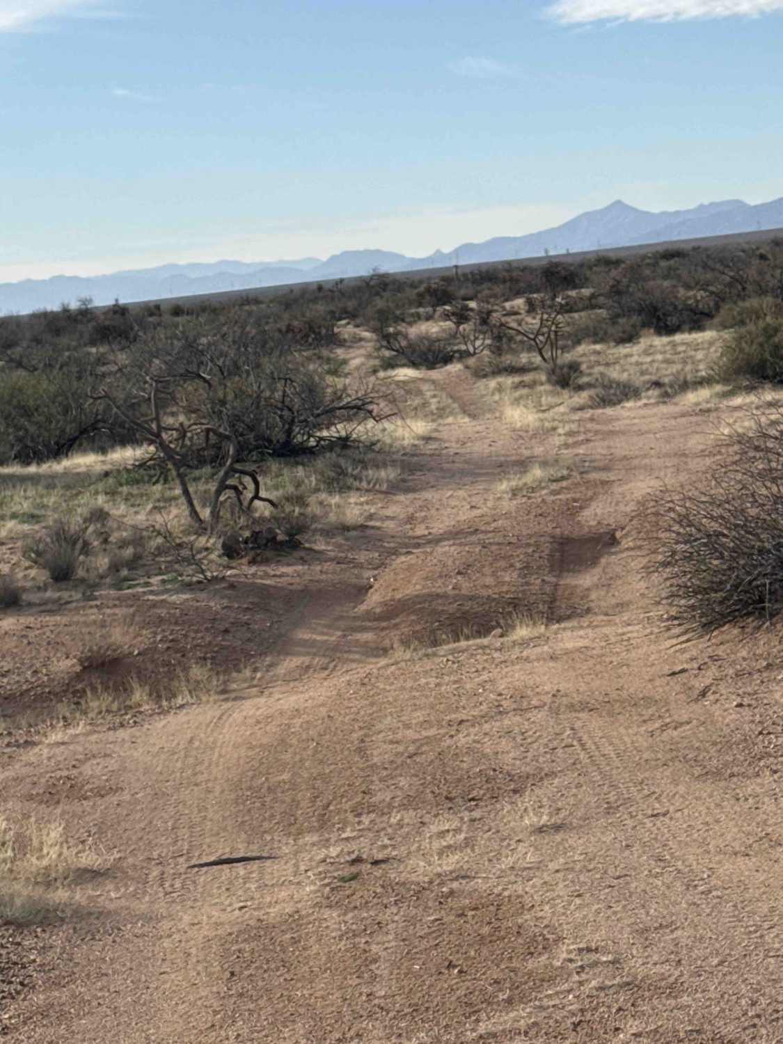
Learn more about Scrub Oak Bypass 
Scrub Oak Bypass
Total Miles
0.5
Tech Rating
Easy
Best Time
Spring, Summer, Fall


UTV/side-by-side trails in Arizona
Learn more about Scrub Oak Bypass
Scrub Oak Bypass
Total Miles
0.5
Tech Rating
Easy
Best Time
Spring, Summer, Fall
The onX Offroad Difference
onX Offroad combines trail photos, descriptions, difficulty ratings, width restrictions, seasonality, and more in a user-friendly interface. Available on all devices, with offline access and full compatibility with CarPlay and Android Auto. Discover what you’re missing today!