Ss1095
Total Miles
4.1
Technical Rating
Best Time
Fall, Winter, Spring
Trail Type
Full-Width Road
Accessible By
Trail Overview
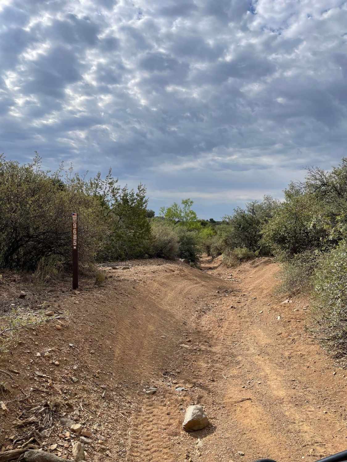
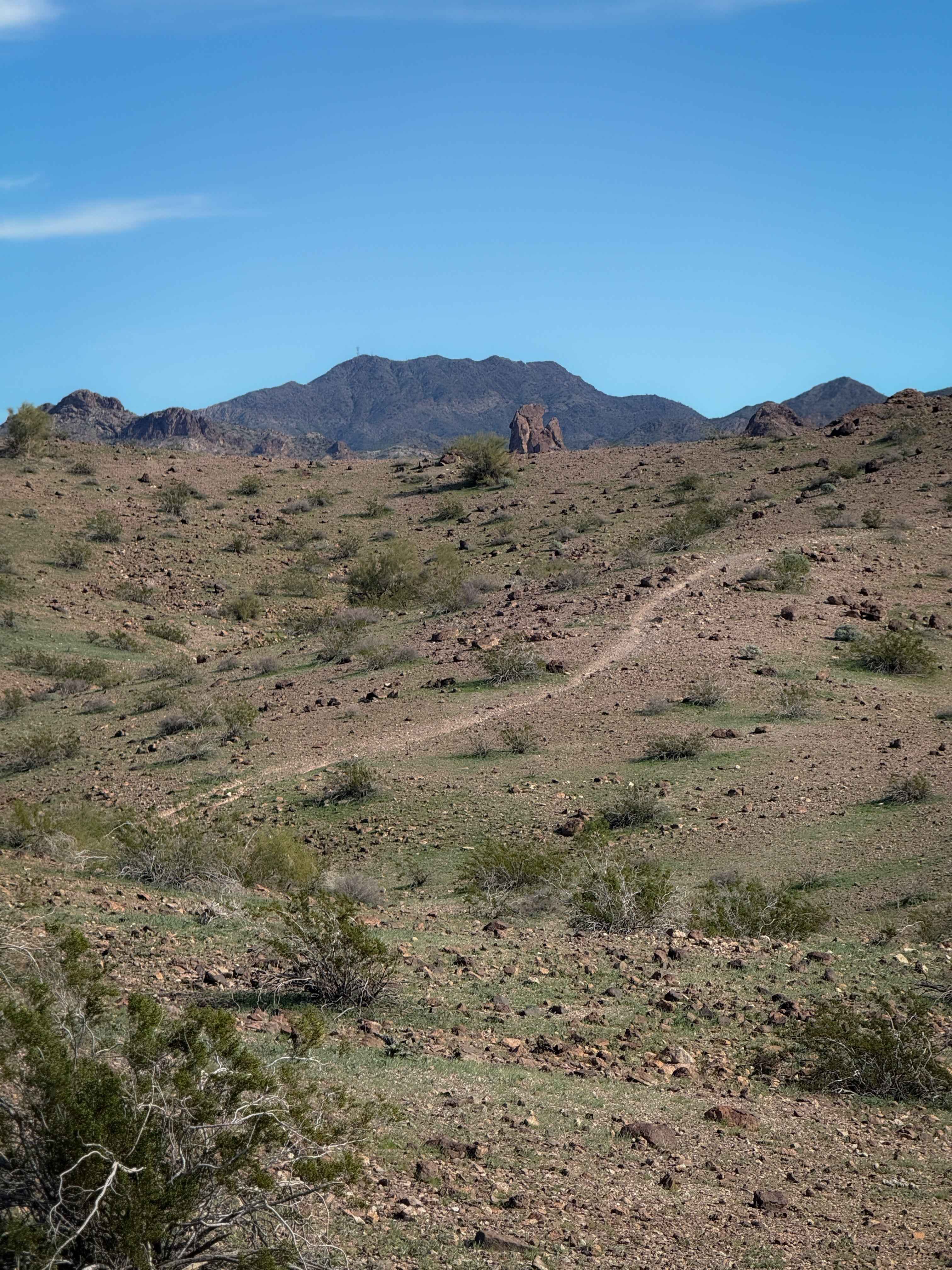
The trail begins with a relatively steep climb from the paved road, after which it levels out and remains fairly smooth for a short distance before becoming increasingly rocky and narrow. Pinstriping is unavoidable in these tighter sections. Numerous spurs and offshoots branch from the main route, offering access to dispersed camping areas. The trail follows a ridgeline before descending into large washes, with several steep, off-camber rocky climbs and descents along the way. Evidence of recent maintenance suggests the road has been repaired following heavy storms. As the trail nears the winding ascent toward the power lines, dense fields of thorns become more common. This road offers no amenities such as water and trash disposal and cell signal is limited but there are opportunities for dispersed camping.
Photos of Ss1095


Difficulty
This trail is off-camber with eroded trail sections.
History
Managed by the Bureau of Land Management, the 2,000-acre site is a popular destination for off-highway vehicles, especially in the cooler months. Visitors can ride the sandy trails by day and soak under the stars by night. While the area has no amenities like water or trash disposal, dispersed camping is allowed, and the BLM encourages visitors to tread lightly and pack out waste to help preserve the fragile desert ecosystem.
Status Reports
Ss1095 can be accessed by the following ride types:
- High-Clearance 4x4
- SUV
- SxS (60")
- ATV (50")
Ss1095 Map
Popular Trails
BLM Route 9685 & 9656

Fish Canyon
Little Badger Canyon
The onX Offroad Difference
onX Offroad combines trail photos, descriptions, difficulty ratings, width restrictions, seasonality, and more in a user-friendly interface. Available on all devices, with offline access and full compatibility with CarPlay and Android Auto. Discover what you’re missing today!