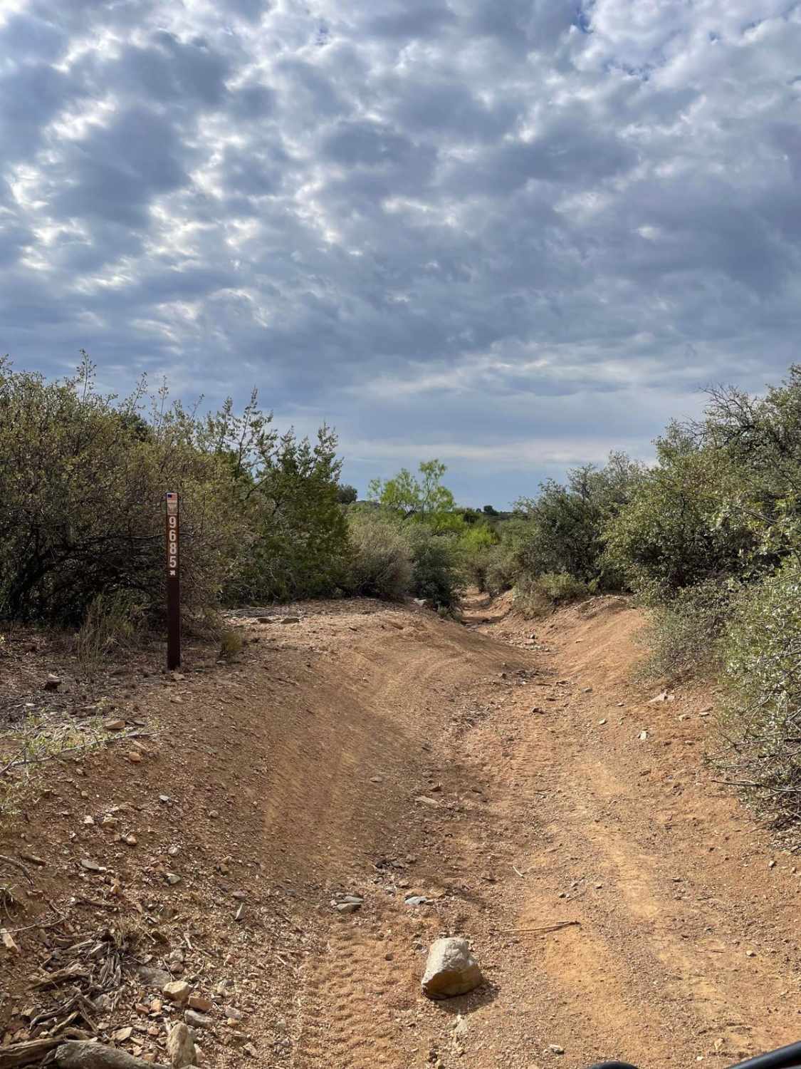
BLM Route 9685 & 9656
Total Miles
1.3
Technical Rating
Best Time
Spring, Summer, Fall, Winter
Trail Type
Full-Width Road
Accessible By
Trail Overview
This trail is a combination of two BLM routes that connect together. The majority of the surface is a mix of dirt and sand, with some sections that are moderately rocky and covered in loose stones. The main obstacles are erosion ruts, which make the trail very uneven. Full-sized 4x4 rigs will need to flex their suspension to navigate these sections. There is a small hill to traverse, with some loose rocks scattered across it. The trail ends at an intersection with private property. Overall, this is a fun trail for 50-inch ride types. Please watch out for livestock while traveling this route.
Photos of BLM Route 9685 & 9656

Difficulty
Expect an uneven, rutted dirt trail with loose rocks, sand, and erosion. There are ruts on this trail that are up to 18 inches deep.
Status Reports
BLM Route 9685 & 9656 can be accessed by the following ride types:
- High-Clearance 4x4
- SUV
- SxS (60")
- ATV (50")
- Dirt Bike
BLM Route 9685 & 9656 Map
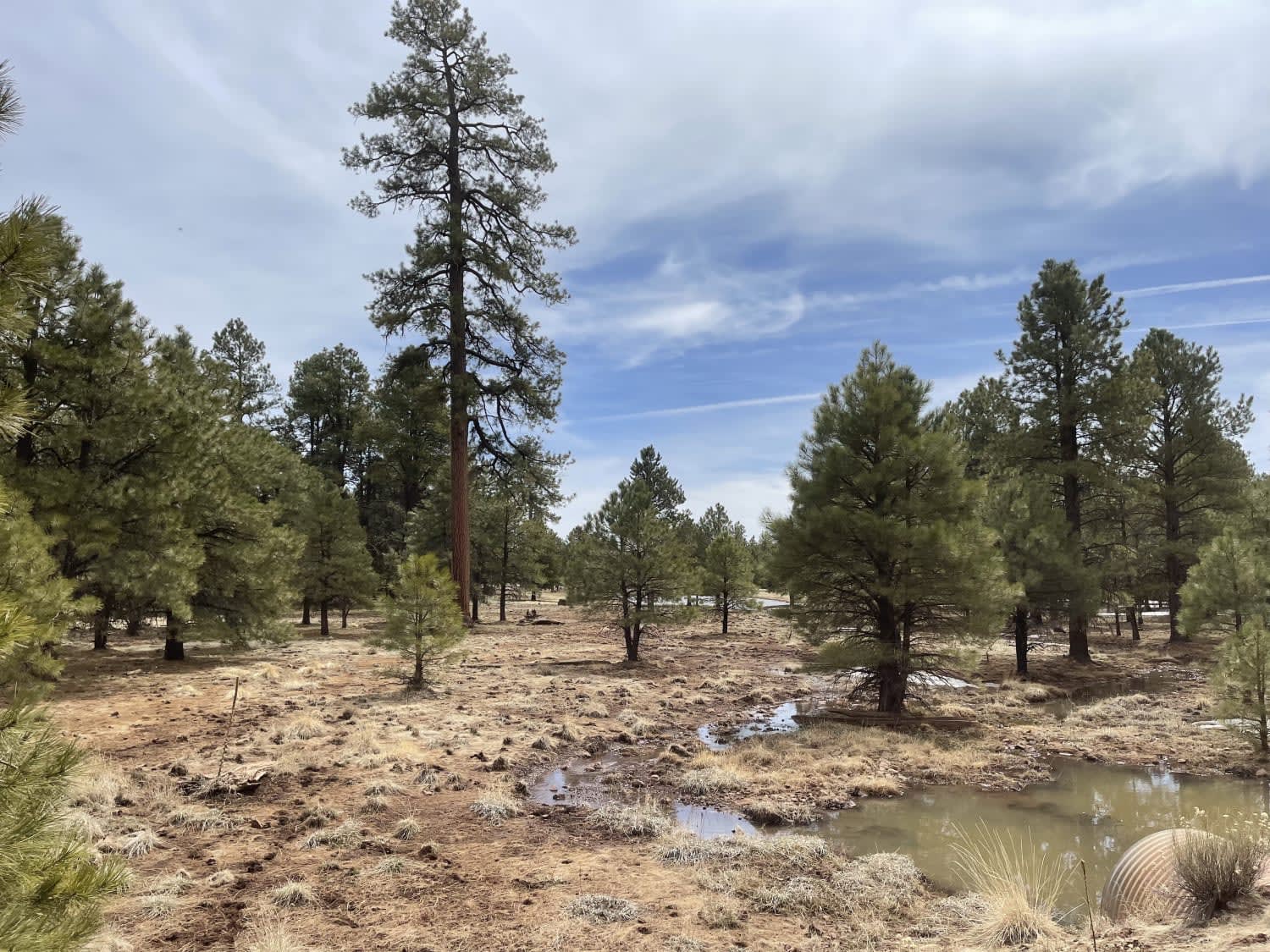
Popular Trails

Coronado Wash Parallel
Rosilda Springs Trail
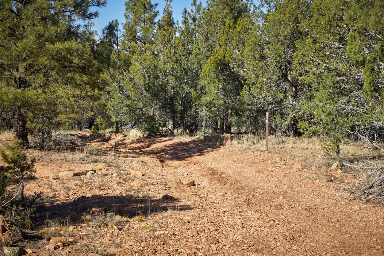
Rim Trail - FSR 310
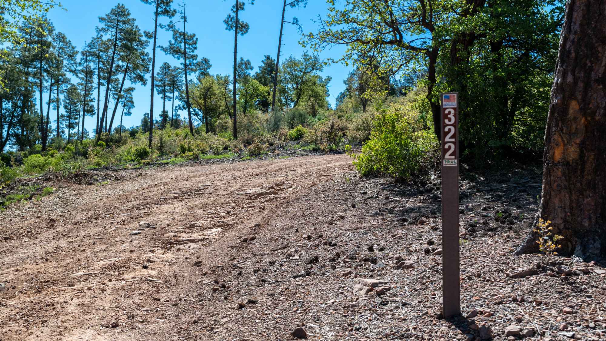
Cedar Mesa - FS 322
The onX Offroad Difference
onX Offroad combines trail photos, descriptions, difficulty ratings, width restrictions, seasonality, and more in a user-friendly interface. Available on all devices, with offline access and full compatibility with CarPlay and Android Auto. Discover what you’re missing today!