Rosilda Springs Trail
Total Miles
7.5
Technical Rating
Best Time
Fall, Summer, Spring
Trail Type
Full-Width Road
Accessible By
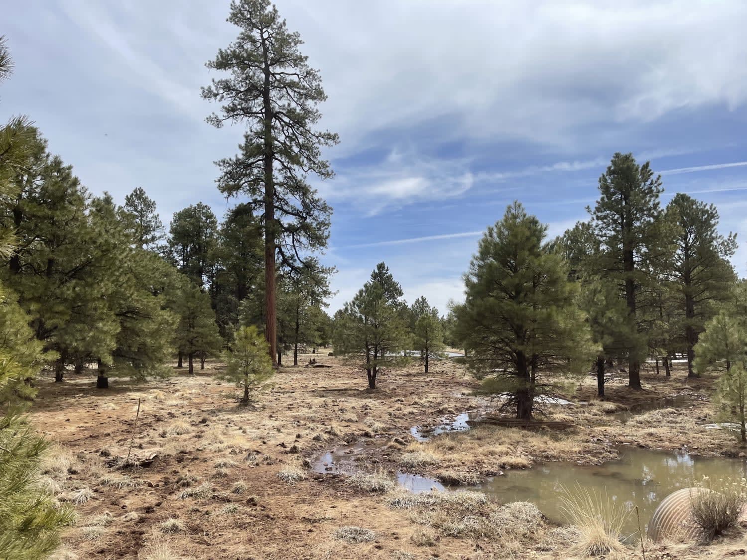
Trail Overview
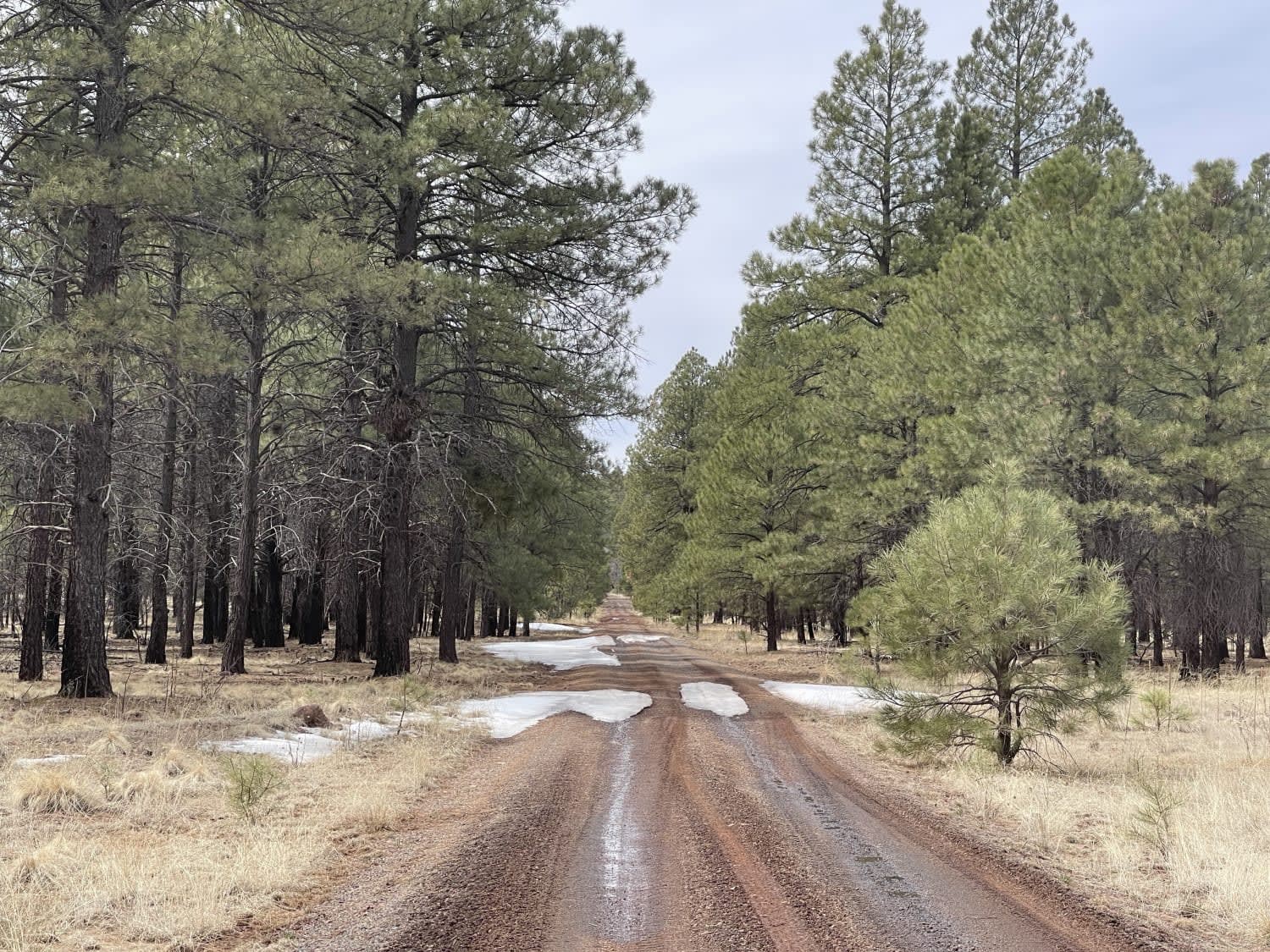
While no springs were found along this trail, it does lead to and follows a section of the Overland Road Historic Trail #113. There are informational kiosks with information and history about the trail and parking areas to stage from in order to hike it. Additionally, there is a ton of dispersed camping sites all down this trail. Many to choose from and some are even big rig friendly for making a base camp with your friends. There are some rutted sections, but generally, the trail is in pretty good shape. 2 bars LTE in and out. No winter maintenance.
Photos of Rosilda Springs Trail
Difficulty
A few ruts from Muddy days but mostly it's nicely graded.
History
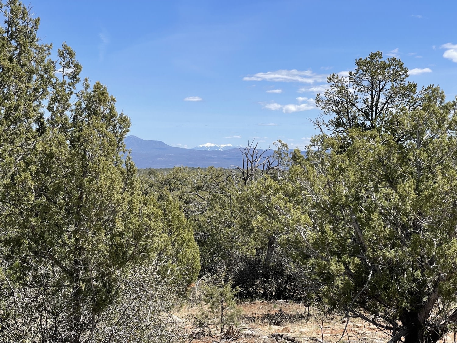
Traveling from east to west, one first encounters the wide grasslands of Garland Prairie. Dotted with hardscrabble homesteads, both active and deserted, its vistas still inspire visions of hardy pioneers. Farther along, the trail enters the trees and passes the remains of an old way-station which even boasted its own post office for a time. The foundations of a few cabins are still visible here.The markers that blaze the trail then wind on through the forest, past remains of an old railroad bed and an abandoned logging camp, past scenic Pomeroy Tanks. Along the way, you'll see evidence of a Depression-era Civilian Conservation Corps camp and the course of the Bear Springs Sheep Driveway that tens of thousands of animals once traveled over the edge of the rugged Mogollon Rim.Mountain biking is good along FR 57. Horseback riding is recommend anywhere along the trail between FR 141 and FR 139, although it may become rocky in the Pomeroy Tanks area.The Forest Service has developed the Overland Road into a recreational trail. The route makes use of forest roads and trails which have been marked with rock cairns, brass cap markers, tree blazes, and 4" by 4" wood posts. A treadway has not been cleared on the trail sections, so it can be a challenge to follow. Trailheads, with interpretive signs, are provided. The trail sections are open only to hikers and horseback riders. Portions of the historic route that are part of the forest road system may be accessed by any means, including motor vehicles and mountain bicycles.
Status Reports
Rosilda Springs Trail can be accessed by the following ride types:
- High-Clearance 4x4
- SUV
- SxS (60")
- ATV (50")
- Dirt Bike
Rosilda Springs Trail Map
Popular Trails
Road to the Summit of Rice Peak

Schnebly Hill Radio Towers
Lookout for Limestone

Wash Problems
The onX Offroad Difference
onX Offroad combines trail photos, descriptions, difficulty ratings, width restrictions, seasonality, and more in a user-friendly interface. Available on all devices, with offline access and full compatibility with CarPlay and Android Auto. Discover what you’re missing today!