Seegmiller Mountain Road BLM 1020
Total Miles
19.7
Technical Rating
Best Time
Summer, Fall, Winter, Spring
Trail Type
Full-Width Road
Accessible By
Trail Overview
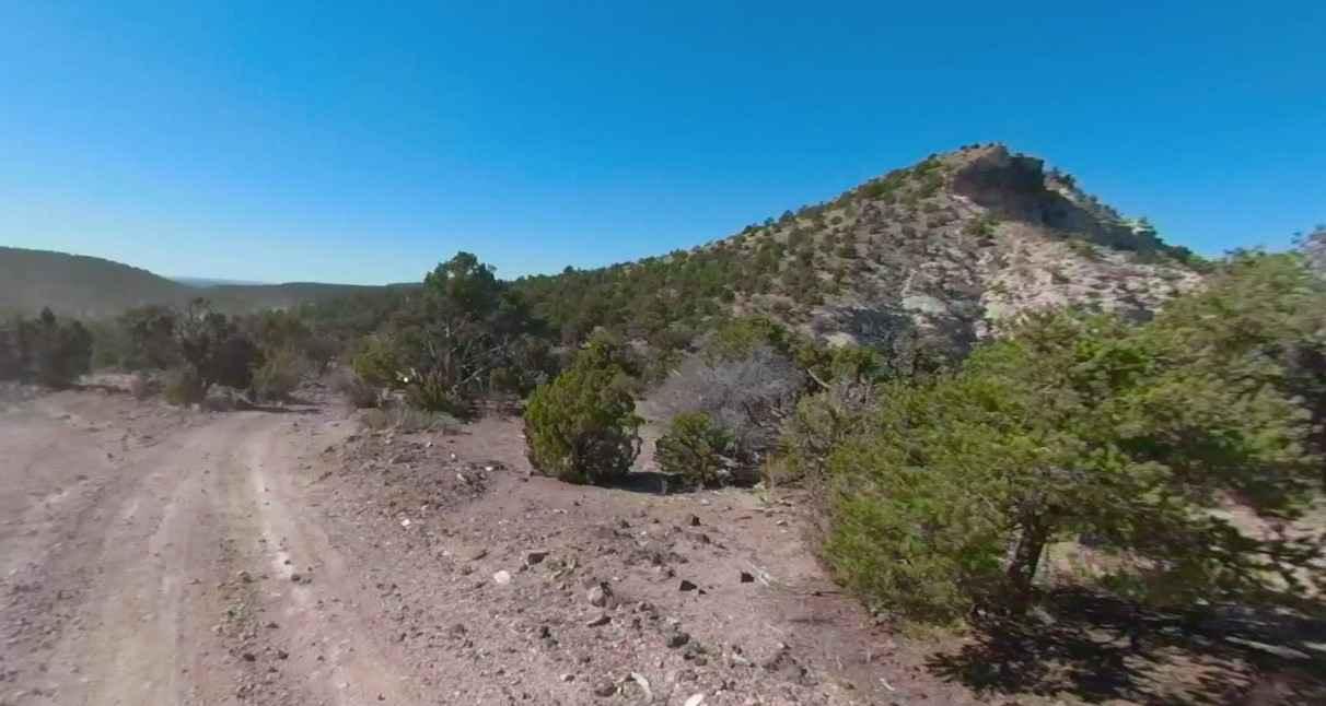
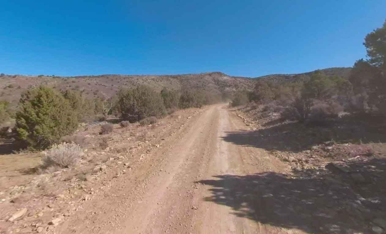
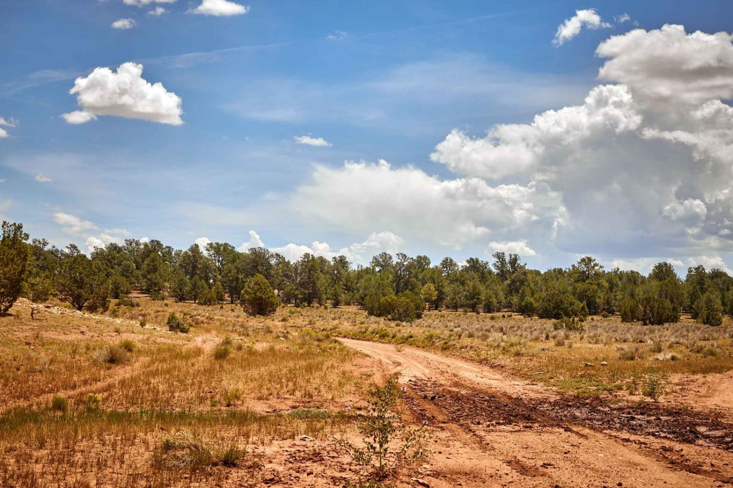
Seegmiller Mountain Road BLM 1020 is a 8.5-mile point-to-point trail rated 3 of 10 located in Mohave County, Arizona. The east/west road crosses Seegmiller Mountain and provides access to the trail up to the radio towers on top. The western side of the mountain is a double-track road that would be considered a 2 rated trail. Once past the turn up to the radio towers, the trail quickly becomes a single-track and becomes a bit rougher, deserving the 3 rating. This is a scenic drive that provides extended views of the Arizona Strip and access to the much more remote Hole in Wall Canyon on the eastern end of the road. Cell phone service is intermittent or non-existent. The nearest services are in St. George. This road climbs above 5,000 feet and during the winter months may be covered in snow or mud.
Photos of Seegmiller Mountain Road BLM 1020
Difficulty
The trail consists of loose rocks, dirt, and sand with some slickrock surfaces, mud holes possible, and no steps higher than 12 inches. 4WD may be required and aggressive tires are a plus.
Status Reports
Seegmiller Mountain Road BLM 1020 can be accessed by the following ride types:
- High-Clearance 4x4
- SUV
- SxS (60")
- ATV (50")
- Dirt Bike
Seegmiller Mountain Road BLM 1020 Map
Popular Trails
AZ Peace Trail Deep Sand Bypass

Buck Mountain Lookout
Old 301 Road (Southern Section)
The onX Offroad Difference
onX Offroad combines trail photos, descriptions, difficulty ratings, width restrictions, seasonality, and more in a user-friendly interface. Available on all devices, with offline access and full compatibility with CarPlay and Android Auto. Discover what you’re missing today!