Ss1099
Total Miles
4.4
Technical Rating
Best Time
Fall, Winter, Spring
Trail Type
Full-Width Road
Accessible By
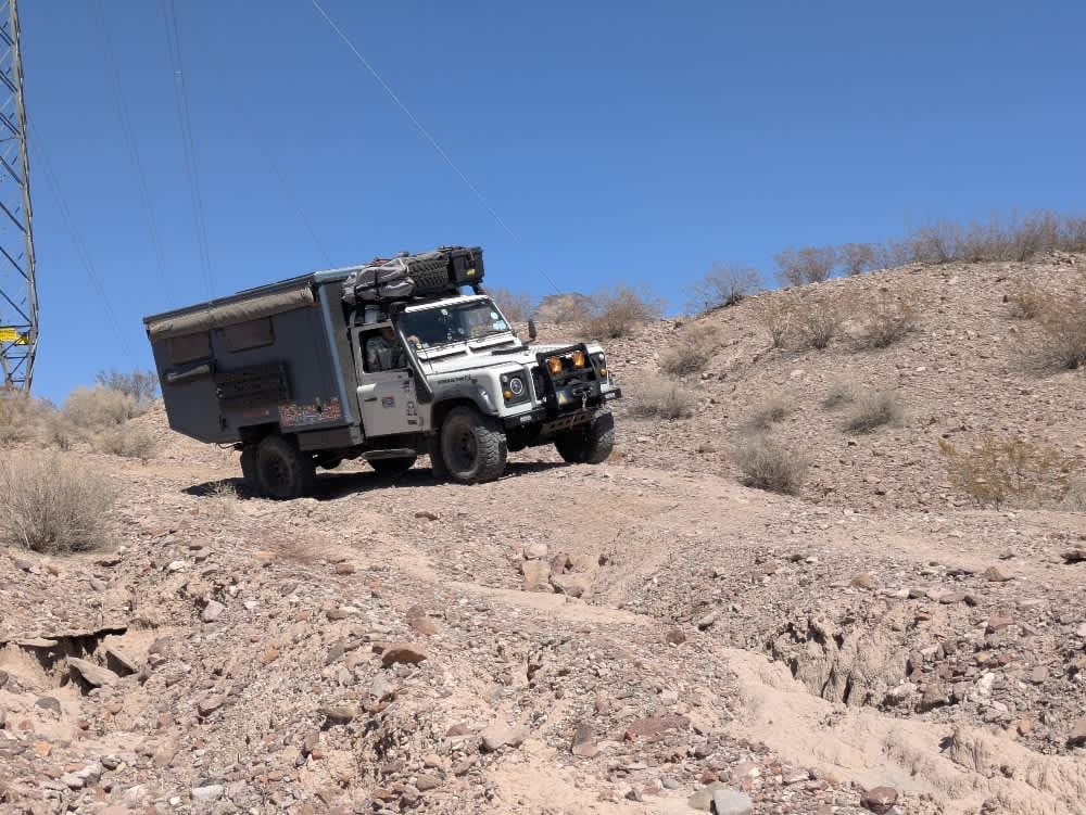
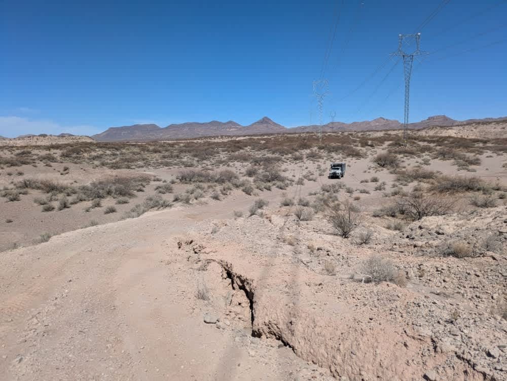
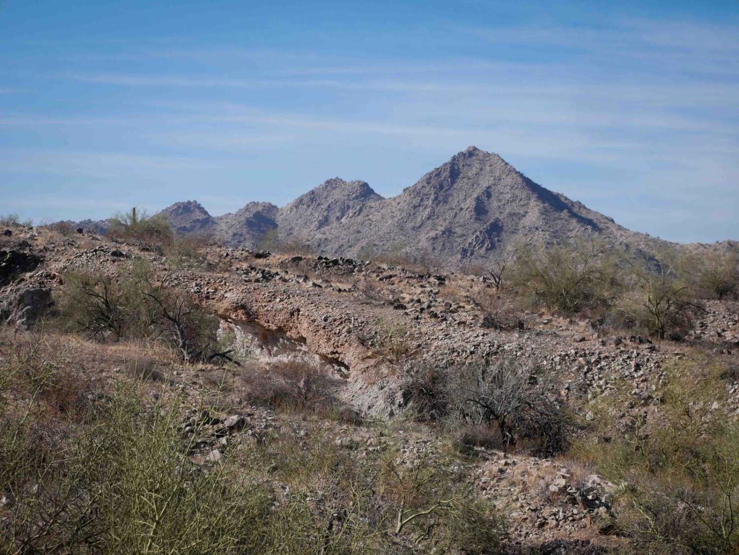
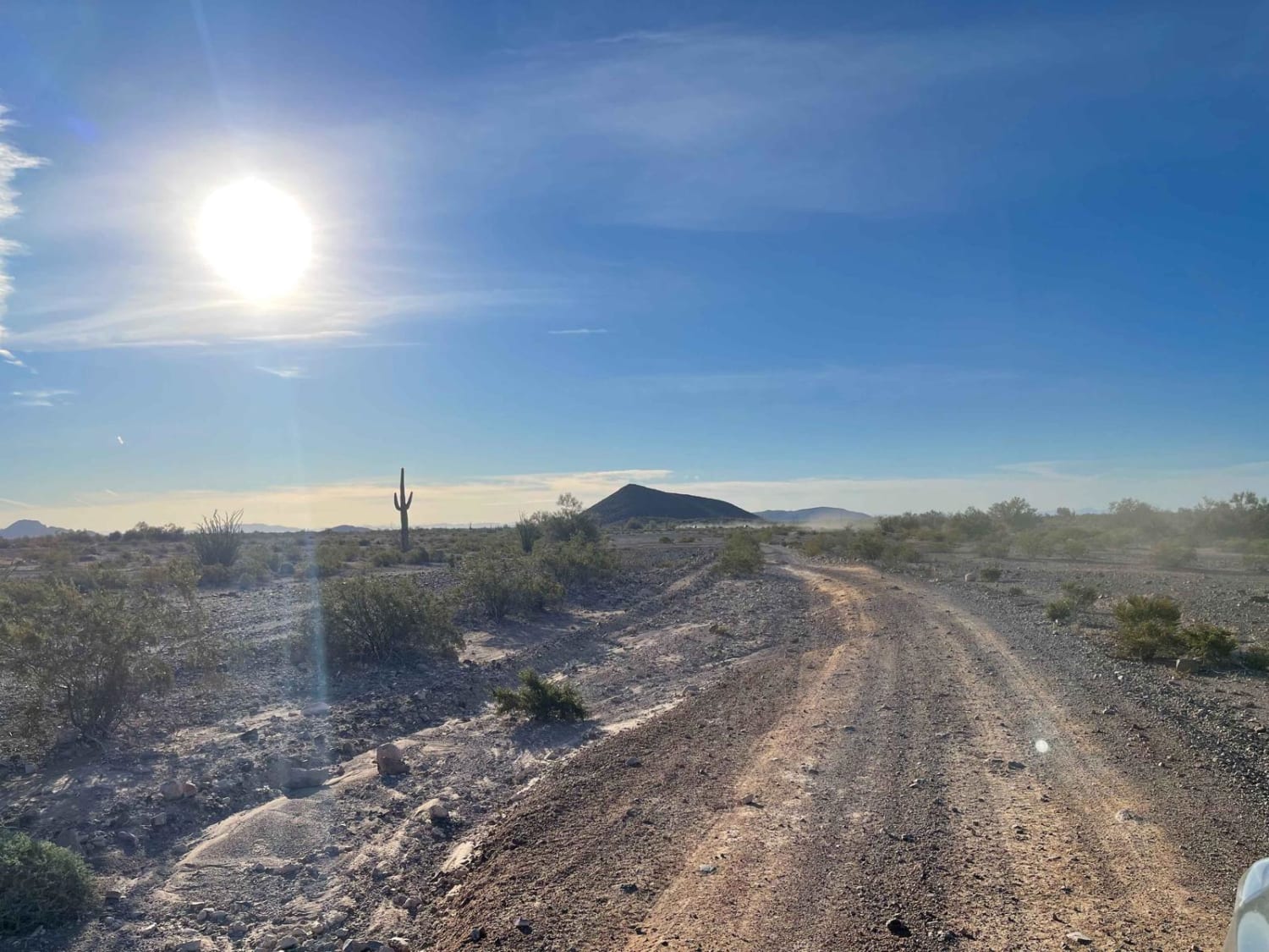
Trail Overview
Although power lines run alongside the trail, it is not a maintained road but rather a rocky track that follows a ridgeline before descending into a wash. The route is rocky, dusty, and lined with thorny vegetation, but it also offers striking views. It winds through the landscape with numerous off-camber sections, as well as a mix of ascents and descents. As the trail continues, it becomes increasingly challenging before eventually transitioning into rolling hills of deep sand. This is an enjoyable route, but a capable 4x4 is strongly recommended. You may feel a sense of relief upon reaching the paved road once again. The trail offers no amenities such as water or trash disposal, and cell service is limited, though dispersed camping is possible along the way.
Photos of Ss1099
Difficulty
The difficulties on this trail consist of rutted and eroded trail sections.
History
Managed by the Bureau of Land Management, the 2,000-acre site is a popular destination for off-highway vehicles, especially in the cooler months. Visitors can ride the sandy trails by day and soak under the stars by night. While the area has no amenities like water or trash disposal, dispersed camping is allowed, and the BLM encourages visitors to tread lightly and pack out waste to help preserve the fragile desert ecosystem.
Status Reports
Ss1099 can be accessed by the following ride types:
- High-Clearance 4x4
- SUV
- SxS (60")
- ATV (50")
Ss1099 Map
Popular Trails

Montezuma Pass

Grass Mine Trail
AZ Peace Trail The Solar Field to Red Raven
The onX Offroad Difference
onX Offroad combines trail photos, descriptions, difficulty ratings, width restrictions, seasonality, and more in a user-friendly interface. Available on all devices, with offline access and full compatibility with CarPlay and Android Auto. Discover what you’re missing today!