2 trails found in Arizona
Which "ss1103" are you looking for?
We found 2 off-road trails in Arizona matching your search. Pick the one you're looking for below.
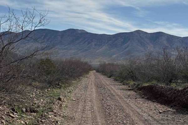
Ss1103
This route connects Ss1050 on the east side to the Hot Well Dunes area and begins with one of the rougher This route connects Ss1050 on the east side to the Hot Well Dunes area and begins with one of the rougher sections in the network. The western portion is a rocky “rock garden” that winds around ...
Learn more about Ss1103
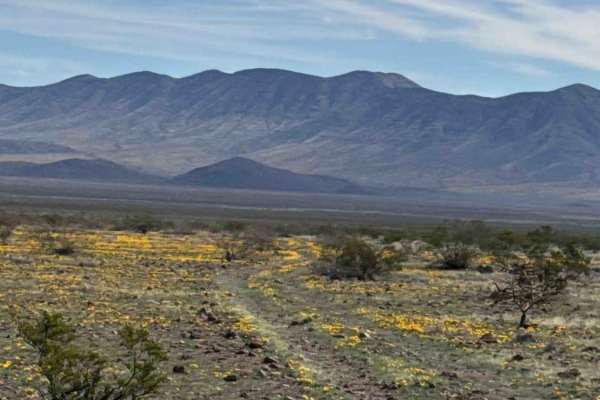
Ss1103d
Trail Ss1103d is a narrow, natural two-track that cuts across open desert toward the base of the mountains. The first mile travels through State Trust Land; a valid permit is required. The route is rocky and bumpy. High-clearance 2WD or 4WD is recommended due to uneven terrain and scattered rocks. D...
Learn more about Ss1103d