Ss1134d
Total Miles
1.2
Technical Rating
Best Time
Spring, Summer, Winter, Fall
Trail Type
Full-Width Road
Accessible By
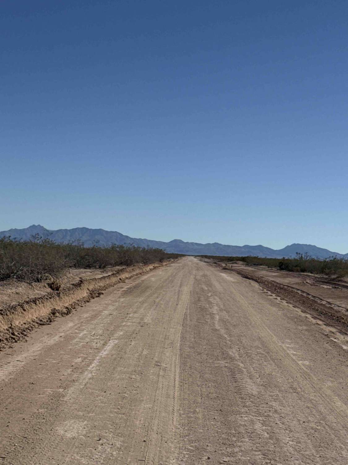
Trail Overview
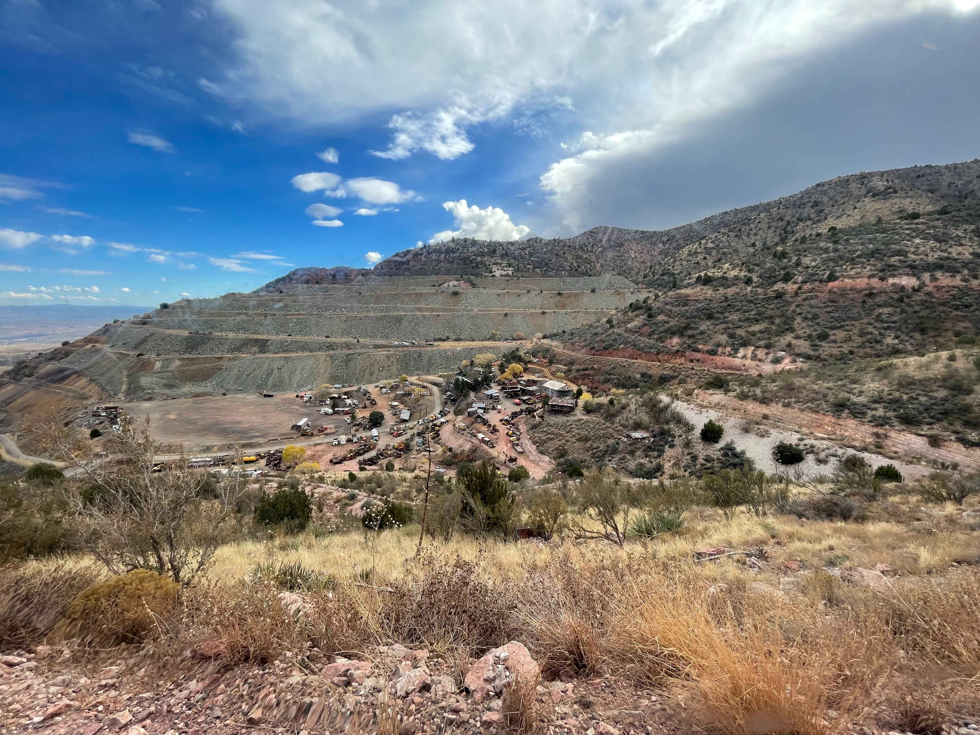
Trail Ss1134d is an emergency evacuation route for the mining operation now in place at the end of this trail. Traveling to the north, it is a wide track road that offers a beautiful view of Javelina Peak. At the end of the road, you will come to the other side of Ss1134; however, all of these trails have been closed due to being mined by UOP. Keep out signs are posted at all the trail connectors all the way around the mine.
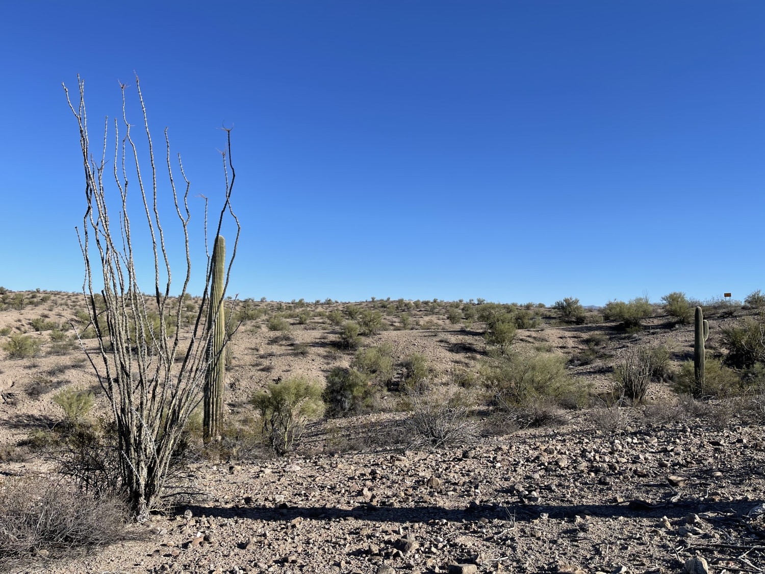
Photos of Ss1134d

Difficulty
This road is a wide, hard-packed gravel route that is generally easy to travel. At the end of the road, access is restricted due to mining operations, with posted signs and a fence line blocking further entry.
Status Reports
Ss1134d can be accessed by the following ride types:
- High-Clearance 4x4
- SUV
- SxS (60")
- ATV (50")
- Dirt Bike
Ss1134d Map
Popular Trails
Benchmark Mountain
Jerome Bypass
The onX Offroad Difference
onX Offroad combines trail photos, descriptions, difficulty ratings, width restrictions, seasonality, and more in a user-friendly interface. Available on all devices, with offline access and full compatibility with CarPlay and Android Auto. Discover what you’re missing today!