Benchmark Mountain
Total Miles
2.6
Technical Rating
Best Time
Winter, Fall, Spring
Trail Type
Full-Width Road
Accessible By
Trail Overview
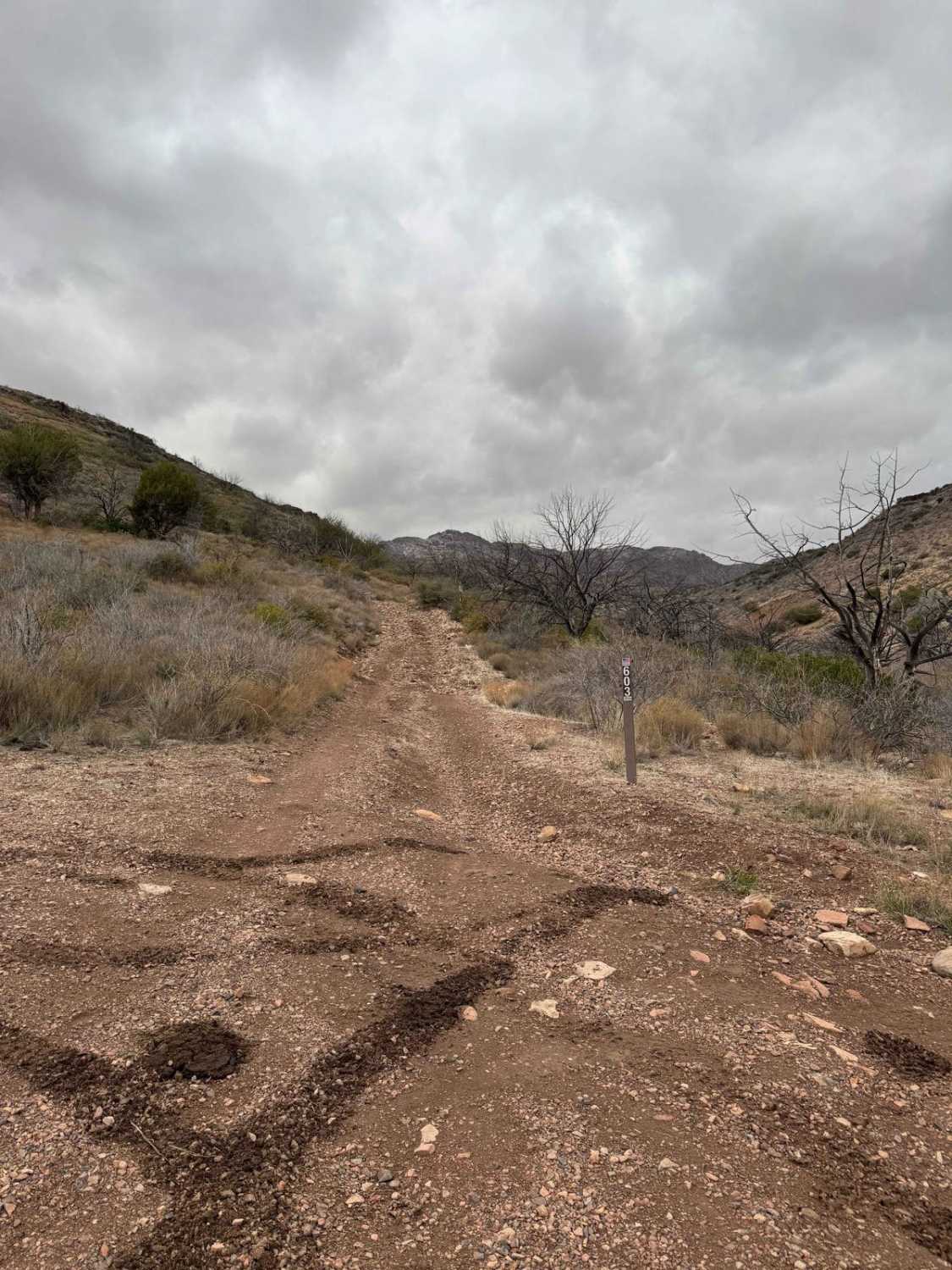
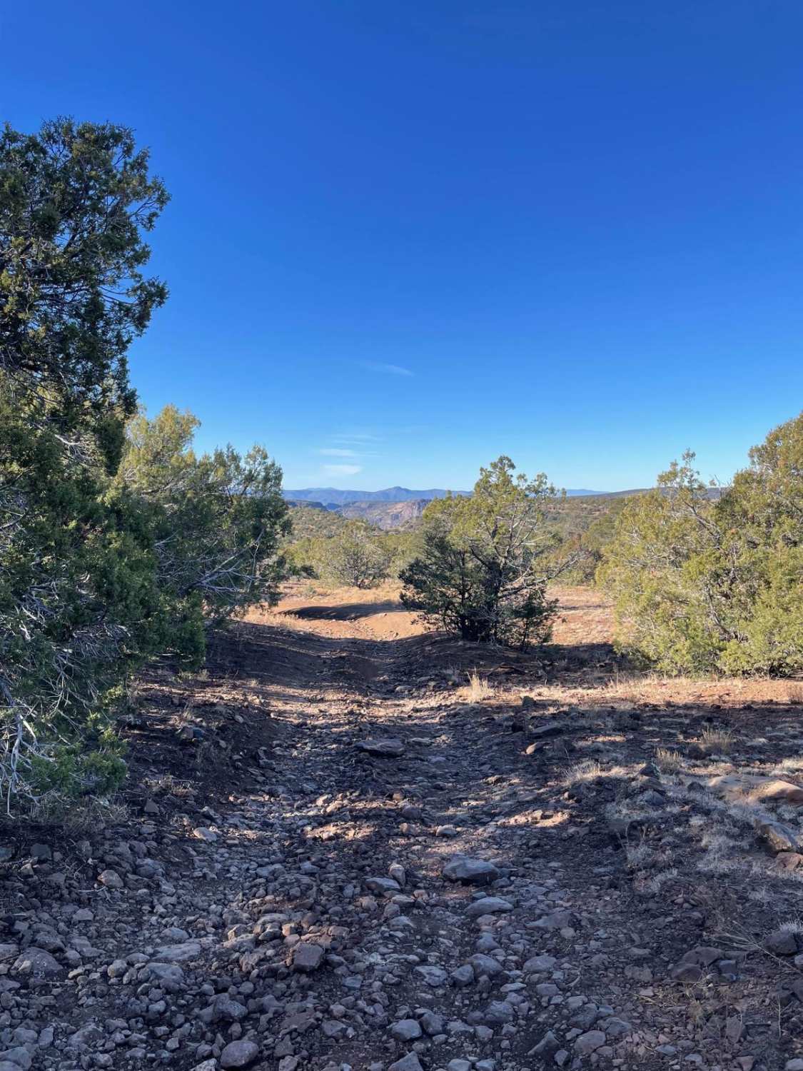
Benchmark Mountain Trail is a 2.6-mile out-and-back, 5.2-mile total. It is a very slow trail, so give yourself an hour each way to enjoy the views. This trail starts at the north end of The Oasis Trail (FR37), which is a 2.5-mile side trail from New River Trail (FR41). So you will begin this trail 2.5 miles north of FR41. From there, it is a 0.8-mile run north on a fairly smooth road like the first part of FR37. You will then make a hard left onto FR603 and immediately climb a fairly steep hill. On forest service maps, FR603 is labeled Red Ridge. You will then follow a creek bed about 1.1mi before beginning to climb up Red Ridge. The climb is on a ledge trail with a little bit of off-camber sections. For the next 0.9mi, you will drive on top of Red Ridge until you reach a road that drops off to the left and becomes a rougher trail that should be another trail with a higher difficulty rating. This entire trail is run under the watchful eye of Benchmark Mountain. A 5,830ft peak that commands the area. Amazing views are looking out over New River Mesa and New River Canyon. The trail was run on March 14th, 2025, and the mountain had a dusting of snow with temperatures hovering around freezing.
Photos of Benchmark Mountain

Difficulty
This trail is a step up from Oasis trail, but not enough to graduate to a level 4 rating. I was scraping my skid plates on loose rocks regularly on a Nissan Frontier with a 2-inch lift and 33-inch tires.
History
The whole area was burned in the 2017 Brooklyn Fire that consumed roughly 35,000 acres. The fire's scars are still evident. Only you can prevent forest fires!
Status Reports
Benchmark Mountain can be accessed by the following ride types:
- High-Clearance 4x4
- SUV
- SxS (60")
- ATV (50")
- Dirt Bike
Benchmark Mountain Map
Popular Trails

Rincon Mine Road

Dutchman Draw #2022
The onX Offroad Difference
onX Offroad combines trail photos, descriptions, difficulty ratings, width restrictions, seasonality, and more in a user-friendly interface. Available on all devices, with offline access and full compatibility with CarPlay and Android Auto. Discover what you’re missing today!