Three Rivers
Total Miles
4.3
Technical Rating
Best Time
Winter, Fall, Spring
Trail Type
High-Clearance 4x4 Trail
Accessible By
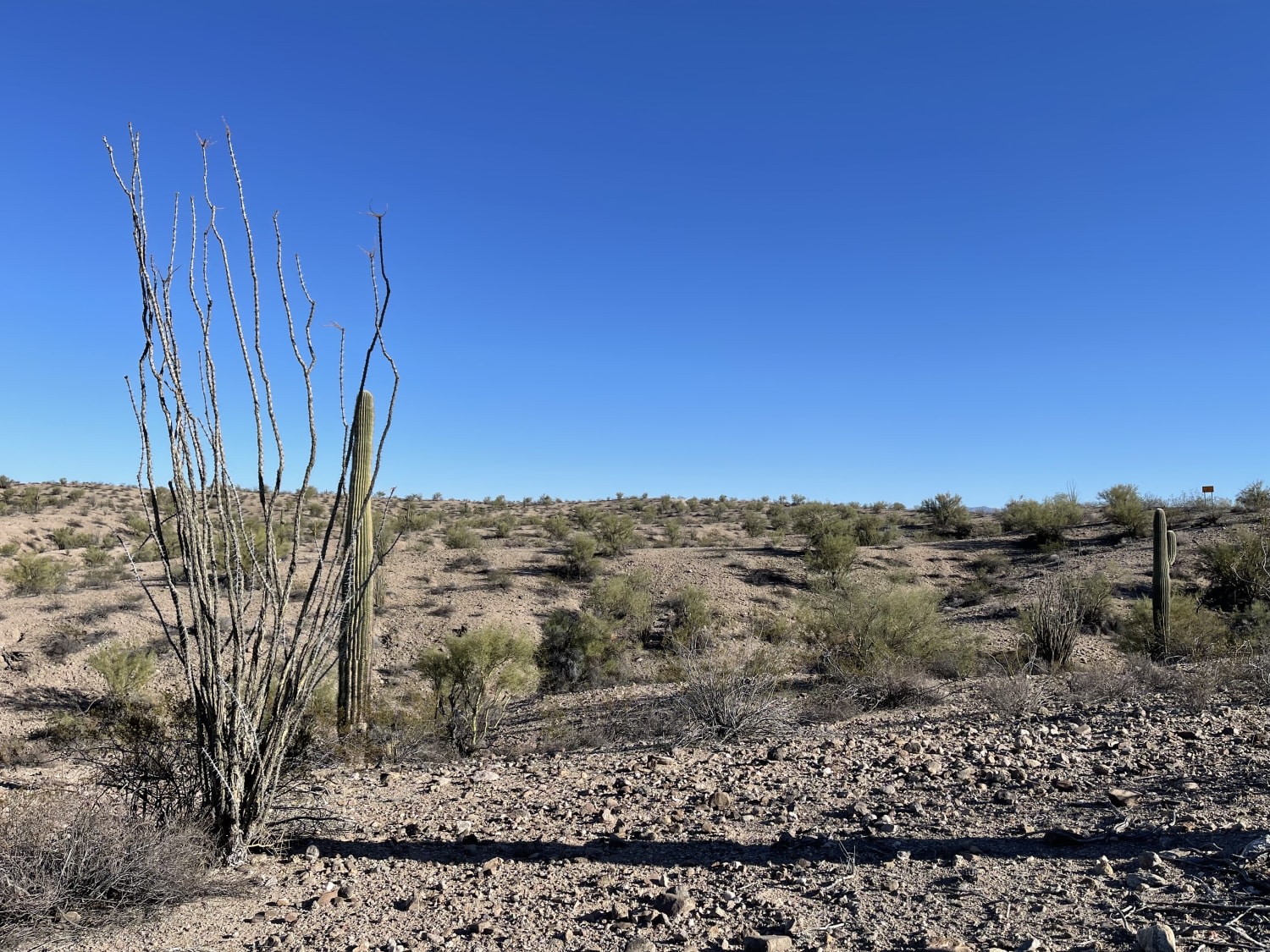
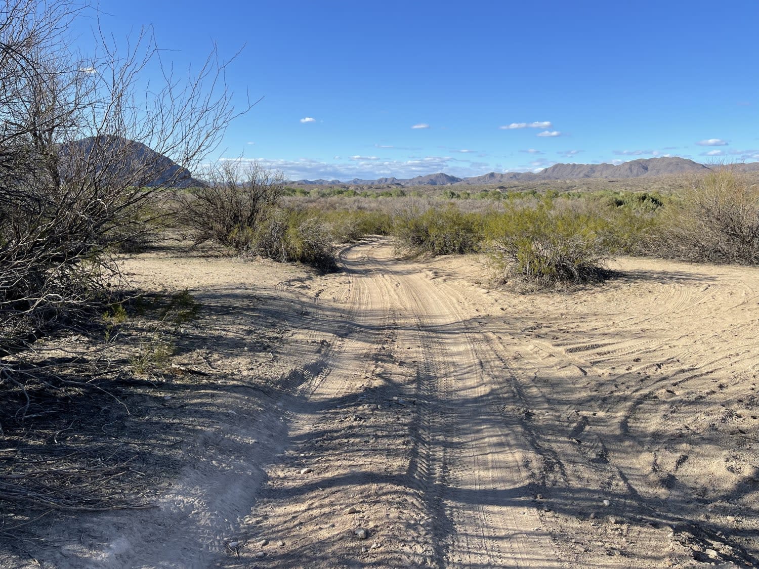
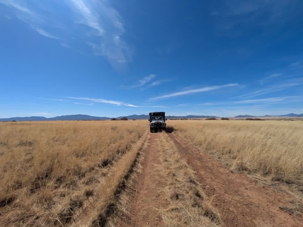
Trail Overview
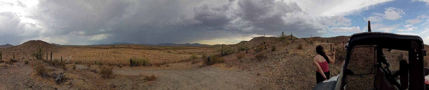
This trail is an easy, graded, wide, two-lane dirt trail with plenty of washboard that ends a sandy wash. The wash is the access point to the Arrastra Mountain Wilderness and may have water in the wash from time to time, especially during the monsoon or rainy seasons. Read all rules and regulations before entering the wilderness and watch for posted signs and no access areas. There's a lot of cactus and desert wildlife, including the wild burrows and coyotes that inhabit the area. There are three bars of LTE.
Photos of Three Rivers
Difficulty
Washboard with loads or room for oncoming traffic to pass.
History
The 129,800-acre Arrastra Mountain Wilderness is located in Mohave, Yavapai, and La Paz counties, 100 miles northwest of Phoenix and 70 miles southeast of Kingman, Arizona. This sprawling wildland encompasses imposing landscapes and unique natural features. The Poachie Range, which trends northwest-southeast through the north-central portion of the wilderness, rises to almost 5,000 feet. The gradual southern slopes of the range are interrupted by several isolated volcanic plugs and numerous drainages, several of which have been deeply incised into a bright orange mudstone.The western and southern portions of the wilderness encompass more than 20 miles of the ephemeral Big Sandy and Santa Maria rivers. West of the Big Sandy River, the Artillery Mountains are dominated by the striking red Artillery Peak, a 1,200-foot tall volcanic plug. The east side of the wilderness contains the uniquely pristine Peoples Canyon. Several springs here maintain a two-mile-long chain of deep, interconnecting pools densely shaded by hundreds of sycamores, willows, and cottonwoods.Know Before You GoA four-wheel drive vehicle is strongly recommended to gain access to this wilderness.The terrain in this wilderness is extremely rugged. A few old vehicle ways provide hiking routes in some places, but the most commonly used routes are the sand washes which dissect the area. Burro trails can sometimes be located and followed on uplands. No formal hiking trails exist in this wilderness unit.The summer climate in this wilderness unit is harsh. Daytime temperatures during the summer months are over 100 degrees. Temperatures are more moderate between October 1 and April 30th.Water is relatively scarce in this unit. Pack all water needed for a trip and purify any water found in the wilderness.Please follow the regulations in place for this area, and use Leave No Trace techniques when visiting to ensure protection of its unique natural and experiential qualities.Motorized equipment and equipment used for mechanical transport are generally prohibited on all federal lands designated as wilderness. This includes the use of motor vehicles (including OHVs), motorboats, bicycles, hang gliders, wagons, carts, portage wheels, and the landing of aircraft including helicopters. Contact the agency for more information about regulations.Some lands around and within the wilderness are not federally administered. Please respect the property rights of the owners and do not cross or use these lands without their permission.
Status Reports
Three Rivers can be accessed by the following ride types:
- High-Clearance 4x4
- SxS (60")
- ATV (50")
- Dirt Bike
Three Rivers Map
Popular Trails
Parker Montezuma

Buckskin Canyon
Desert Valley Mountain Overlook
The onX Offroad Difference
onX Offroad combines trail photos, descriptions, difficulty ratings, width restrictions, seasonality, and more in a user-friendly interface. Available on all devices, with offline access and full compatibility with CarPlay and Android Auto. Discover what you’re missing today!