Off-Road Trails in Tennessee
Discover off-road trails in Tennessee
Learn more about Island Forty Road
Island Forty Road
Total Miles
1.8
Tech Rating
Easy
Best Time
Spring, Fall
Learn more about Jacobs Creek
Jacobs Creek
Total Miles
3.6
Tech Rating
Easy
Best Time
Spring, Summer, Fall, Winter
Learn more about Jennings Creek Road
Jennings Creek Road
Total Miles
2.4
Tech Rating
Easy
Best Time
Spring, Fall
Learn more about Jones Creek Road
Jones Creek Road
Total Miles
1.8
Tech Rating
Easy
Best Time
Fall, Summer, Spring
Learn more about Kimsey MTN (Old 68 HWY)
Kimsey MTN (Old 68 HWY)
Total Miles
14.2
Tech Rating
Easy
Best Time
Winter
Learn more about Knight Road - Macon County Tour
Knight Road - Macon County Tour
Total Miles
1.6
Tech Rating
Easy
Best Time
Spring, Fall
Learn more about Ladd Springs Road (221)
Ladd Springs Road (221)
Total Miles
5.0
Tech Rating
Easy
Best Time
Spring, Summer, Fall, Winter


Learn more about Laurel Hill Road
Laurel Hill Road
Total Miles
5.8
Tech Rating
Easy
Best Time
Spring, Summer, Fall, Winter
Learn more about Laurel Mountain / White Rock
Laurel Mountain / White Rock
Total Miles
2.6
Tech Rating
Easy
Best Time
Spring, Summer, Fall
Learn more about Little Gassaway - Trail NF45
Little Gassaway - Trail NF45
Total Miles
2.7
Tech Rating
Easy
Best Time
Spring, Summer, Fall, Winter
Learn more about Little Mountain 
Little Mountain
Total Miles
3.5
Tech Rating
Easy
Best Time
Spring, Summer, Fall

Learn more about Little Stoney Creek/Laurel Fork
Little Stoney Creek/Laurel Fork
Total Miles
3.4
Tech Rating
Easy
Best Time
Fall
Learn more about Log Road 1
Log Road 1
Total Miles
1.7
Tech Rating
Moderate
Best Time
Spring, Summer, Fall, Winter
Learn more about Long Fork Waterfall
Long Fork Waterfall
Total Miles
0.2
Tech Rating
Easy
Best Time
Spring, Summer, Fall
Learn more about Lost Creek & Clear Creek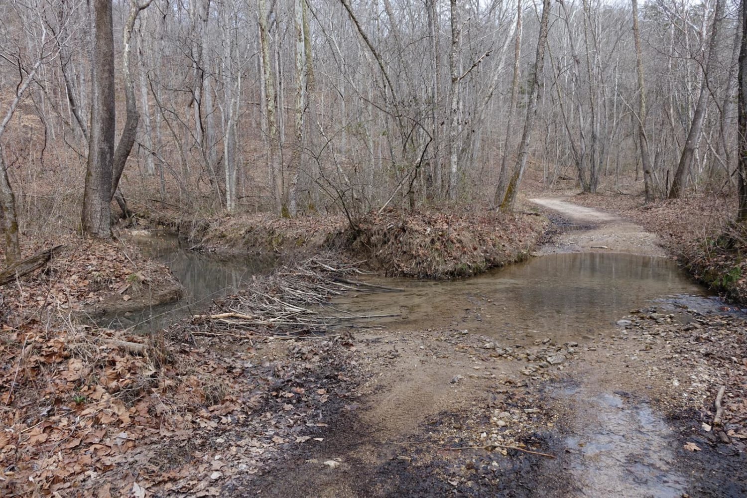
Lost Creek & Clear Creek
Total Miles
5.5
Tech Rating
Easy
Best Time
Summer, Fall
Learn more about Lowe Cemetary Road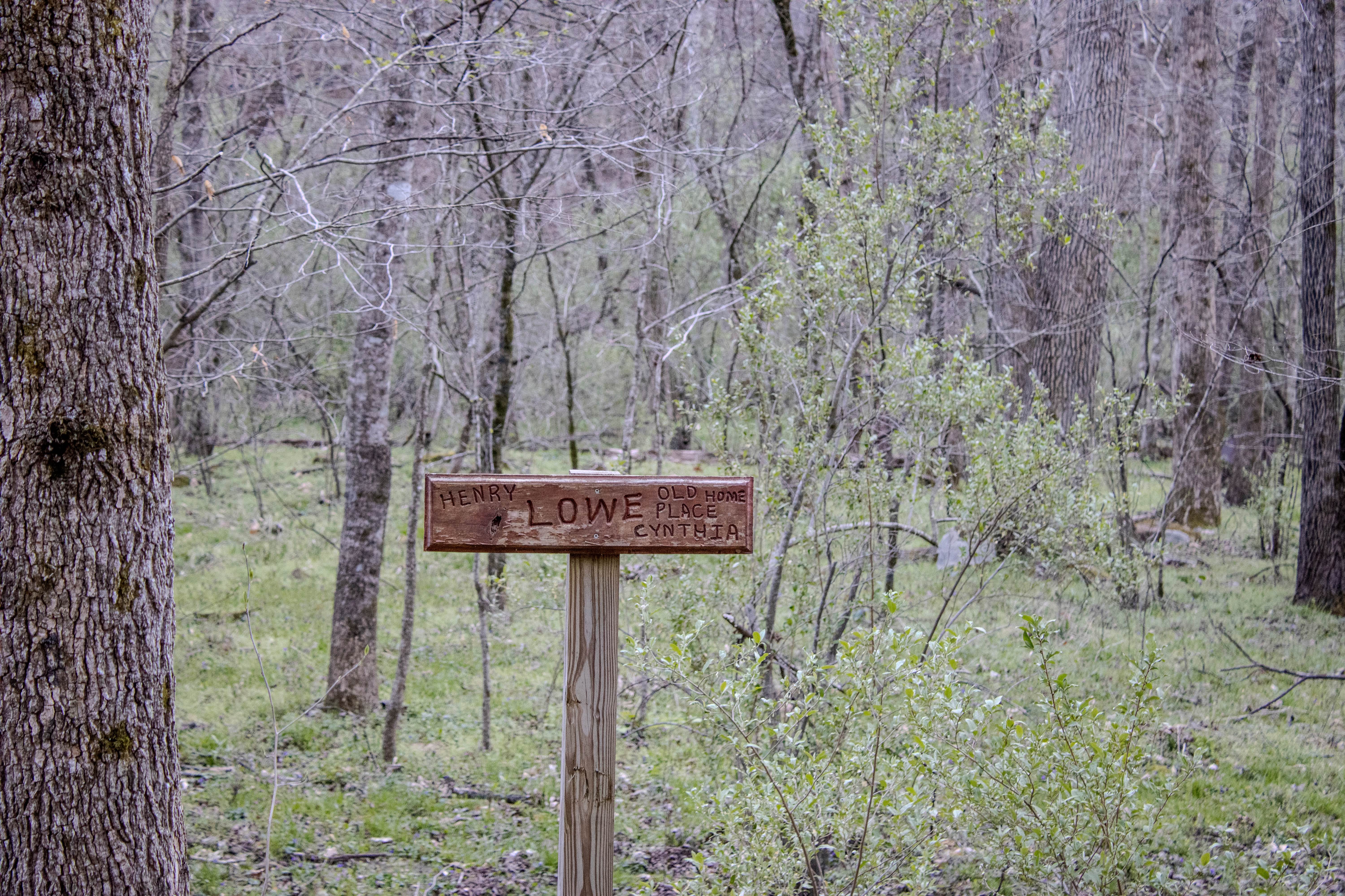
Lowe Cemetary Road
Total Miles
1.7
Tech Rating
Moderate
Best Time
Spring, Summer, Fall, Winter

ATV trails in Tennessee
Learn more about 1 - Launchpad
1 - Launchpad
Total Miles
1.2
Tech Rating
Easy
Best Time
Spring, Summer, Fall, Winter
Learn more about 11 - Ground Control
11 - Ground Control
Total Miles
0.3
Tech Rating
Easy
Best Time
Spring, Summer, Fall, Winter
UTV/side-by-side trails in Tennessee
Learn more about 1 - Launchpad
1 - Launchpad
Total Miles
1.2
Tech Rating
Easy
Best Time
Spring, Summer, Fall, Winter
Learn more about 11 - Ground Control
11 - Ground Control
Total Miles
0.3
Tech Rating
Easy
Best Time
Spring, Summer, Fall, Winter
The onX Offroad Difference
onX Offroad combines trail photos, descriptions, difficulty ratings, width restrictions, seasonality, and more in a user-friendly interface. Available on all devices, with offline access and full compatibility with CarPlay and Android Auto. Discover what you’re missing today!