Trail Overview
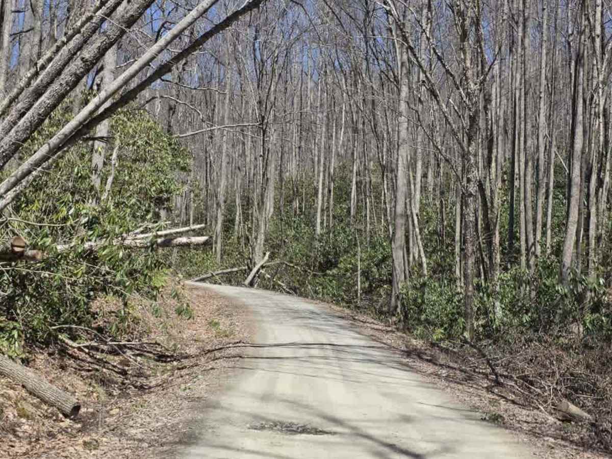
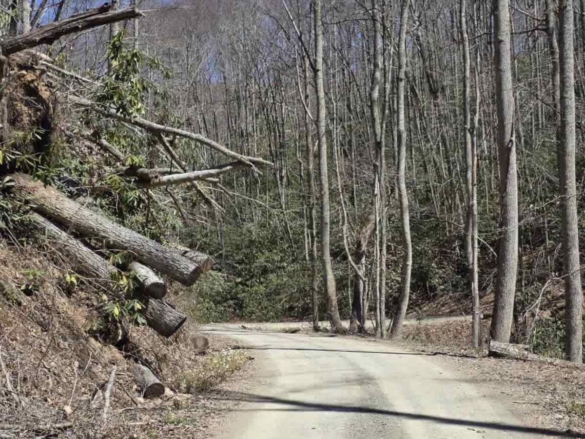
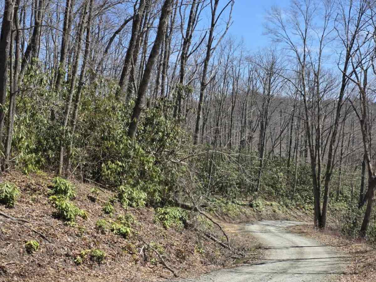
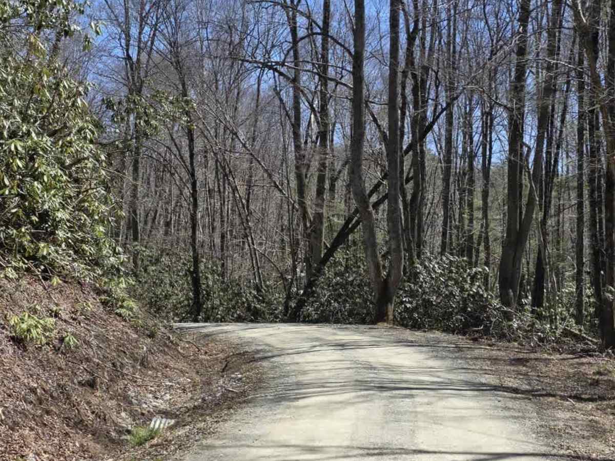
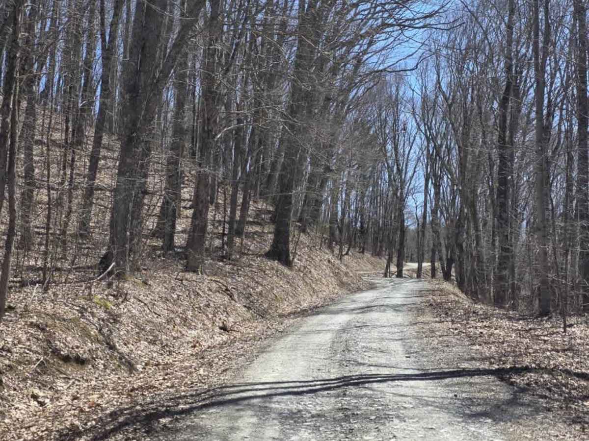
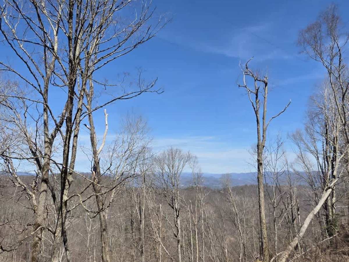
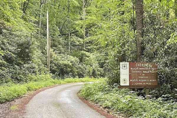
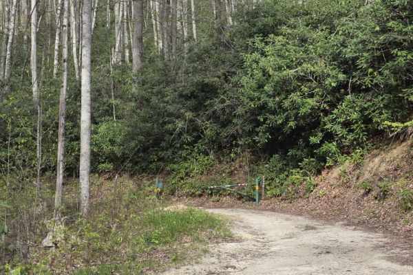
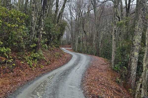
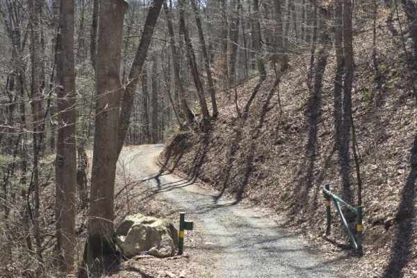
Laurel Fork is a scenic gravel route that offers a relaxed drive with occasional exposure and limited passing opportunities. The road is primarily one lane with tight curves, requiring drivers to remain alert for oncoming traffic and use designated pull-offs when available. The surface is generally maintained gravel, though minor ruts and low spots can develop from rainfall, occasionally holding standing water after storms. A highlight of this route is a high shelf road section that provides expansive views of the surrounding landscape, making it one of the more visually rewarding drives in the area. The terrain remains non-technical overall, though drivers should be mindful of narrow sections and changing surface conditions. Portions of the trail pass through Laurel Fork Wildlife Management Area, while other sections run adjacent to private land, so staying on the designated roadway is important. As always, practice respectful driving and be aware of your surroundings when navigating tighter curves and exposed sections.
Difficulty
Laurel Fork is rated a 1 due to its maintained gravel surface, gentle grades, and lack of sustained obstacles. While the road is narrow with tight curves and limited passing areas, these factors do not introduce technical terrain. Minor ruts, low water-holding spots, and occasional muddy sections may be encountered, but they are generally shallow and do not create significant clearance or traction challenges under normal conditions. The overall sustained experience aligns with an easy dirt or rocky road suitable for most 4WD and high-clearance 2WD vehicles.