Mad Dog
Total Miles
3.0
Technical Rating
Best Time
Spring, Summer, Fall, Winter
Trail Type
Full-Width Road
Accessible By
Trail Overview
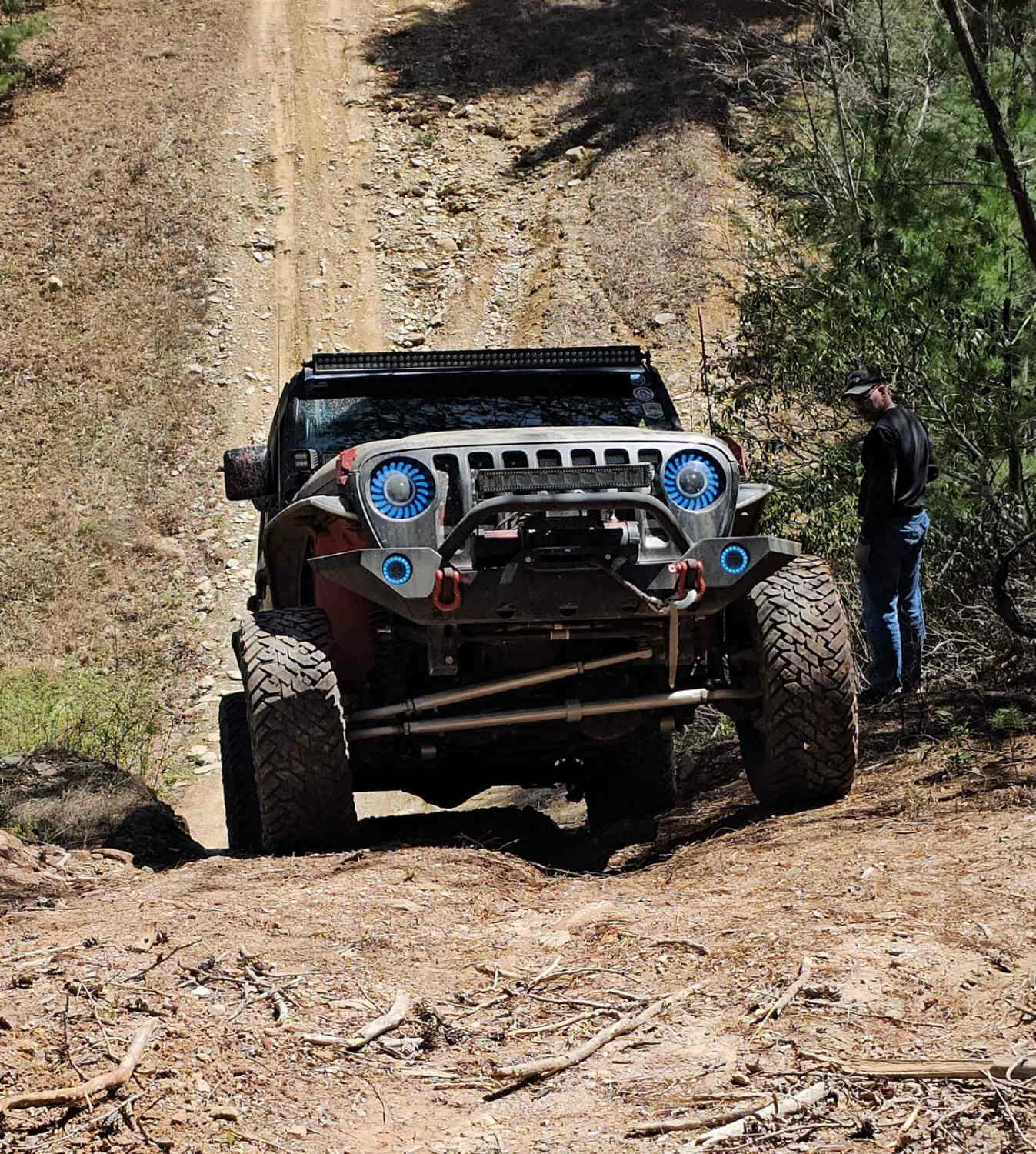
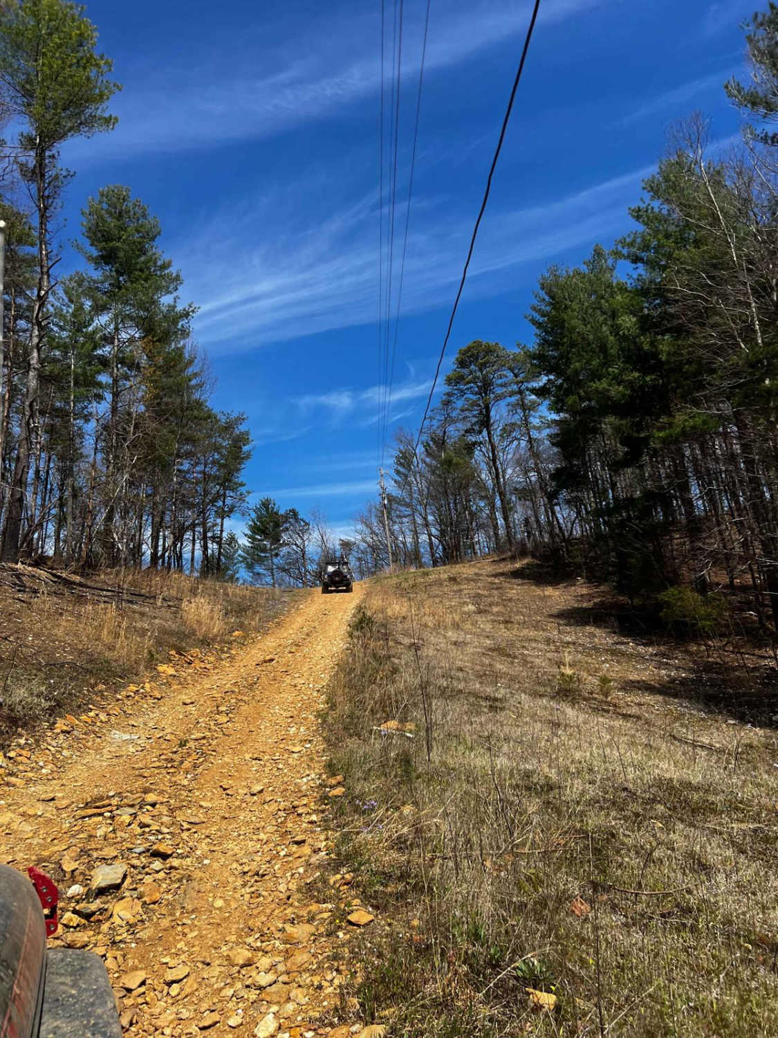
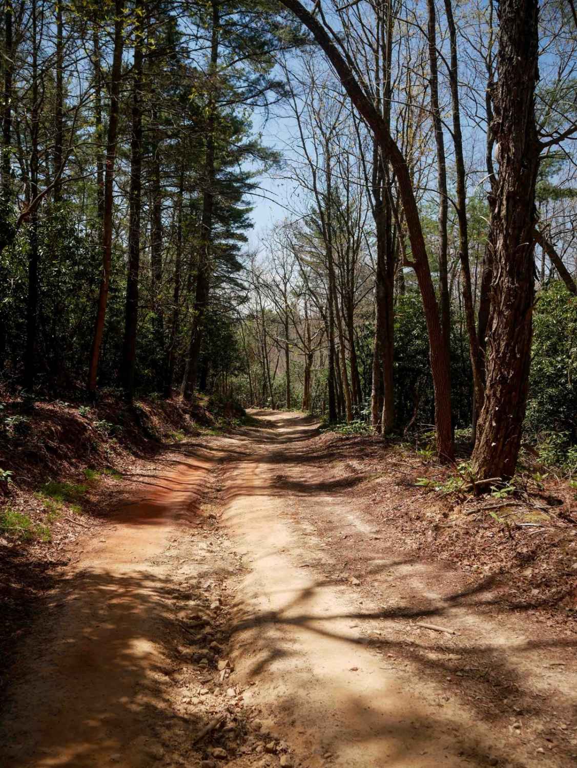
This trail runs from North River Rd Shortcut - 216 to the Cherohala Skyway in the Cherokee National Forest. This trail is mainly dirt with some small rocks. It winds through clearings and forest. Beware that pinstriping is very likely in the spring-fall months. At around 2 miles in, you come across a small rock ledge approximately 18-24 inches tall that is easily navigable with a good spotter. Once you clear this obstacle, you come upon a short rock garden with an approximate 12- to 18-inch ledge, and this one will get you slightly off-camber. Continue down the hill and you will see the Devil's Bowl. It's a steep 20-30 degree descent followed by a 20-30 degree ascent, with an optional 2nd hill climb up onto a bald. The Devil's Bowl could be tricky after a heavy rain. If you choose not to do the 2nd hill climb, just follow the trail to the right at the top of the first hill. You will then be met by a couple of creek crossings 12-18 inches deep. The trail ends between trees and a guardrail running parallel to the Cherohala Skyway. Use caution here due to pinstriping and traffic coming down the Skyway as you try to exit the trail.
Photos of Mad Dog
Difficulty
Expect steep inclines and declines, small rock ledges, and rutting. Potential water crossings are up to 18 inches deep. There are mild off-camber areas. Most of the trail is one lane wide with wider spaces to pass.
Status Reports
Mad Dog can be accessed by the following ride types:
- High-Clearance 4x4
- SUV
- SxS (60")
- ATV (50")
- Dirt Bike
Mad Dog Map
Popular Trails
Windrock Trail 51
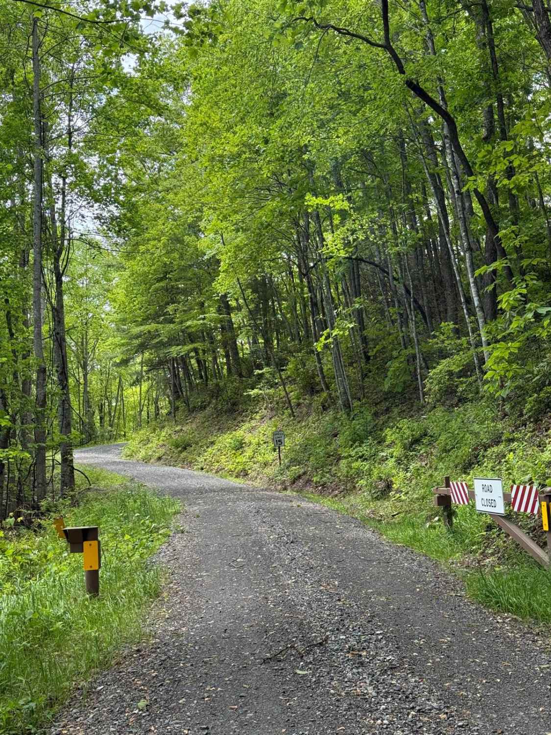
Wolf Creek Road
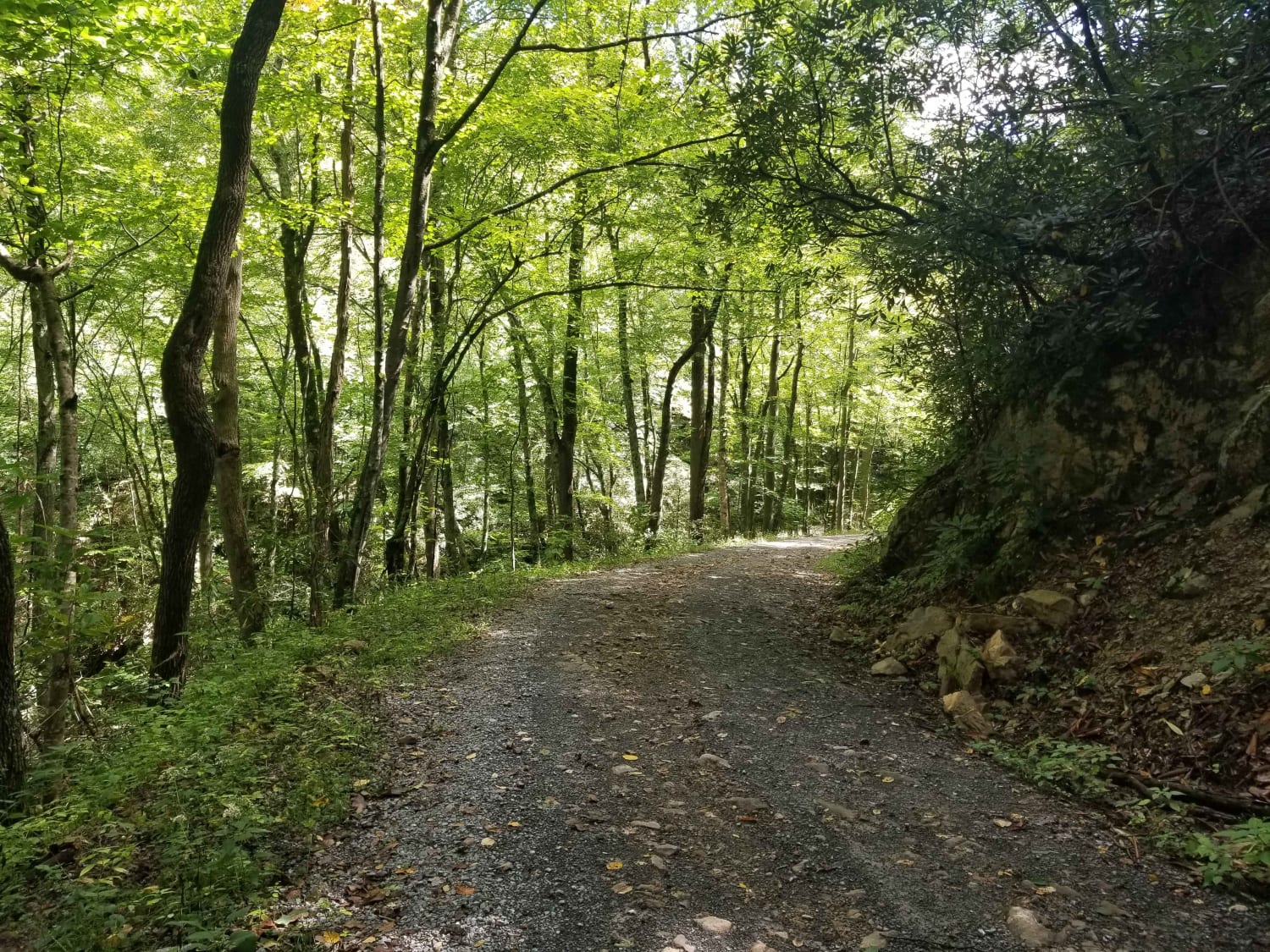
Jacobs Creek
The onX Offroad Difference
onX Offroad combines trail photos, descriptions, difficulty ratings, width restrictions, seasonality, and more in a user-friendly interface. Available on all devices, with offline access and full compatibility with CarPlay and Android Auto. Discover what you’re missing today!
