Off-Road Trails in Tennessee
Discover off-road trails in Tennessee
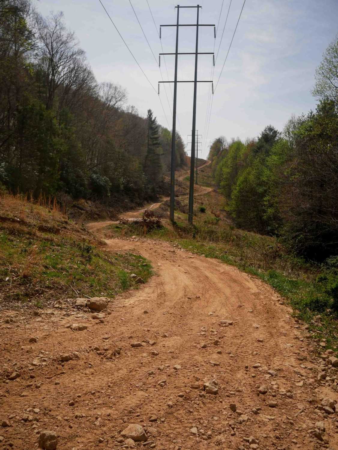
Learn more about Otter Creek Road
Otter Creek Road
Total Miles
11.3
Tech Rating
Easy
Best Time
Spring, Fall, Winter
Learn more about Paint Mountain Road
Paint Mountain Road
Total Miles
3.8
Tech Rating
Easy
Best Time
Winter, Fall
Learn more about Paint Pond Trail
Paint Pond Trail
Total Miles
0.8
Tech Rating
Easy
Best Time
Spring, Summer, Fall, Winter
Learn more about Parson Branch Road
Parson Branch Road
Total Miles
7.9
Tech Rating
Easy
Best Time
Spring, Summer, Fall
Learn more about Peavine Sheeds - CR 221
Peavine Sheeds - CR 221
Total Miles
7.0
Tech Rating
Easy
Best Time
Spring, Summer, Fall, Winter
Learn more about Pebble Beach
Pebble Beach
Total Miles
6.2
Tech Rating
Moderate
Best Time
Spring, Summer, Fall, Winter
Learn more about Peter Cave Road
Peter Cave Road
Total Miles
1.4
Tech Rating
Easy
Best Time
Summer, Fall, Winter, Spring
Learn more about Pine Bald Trail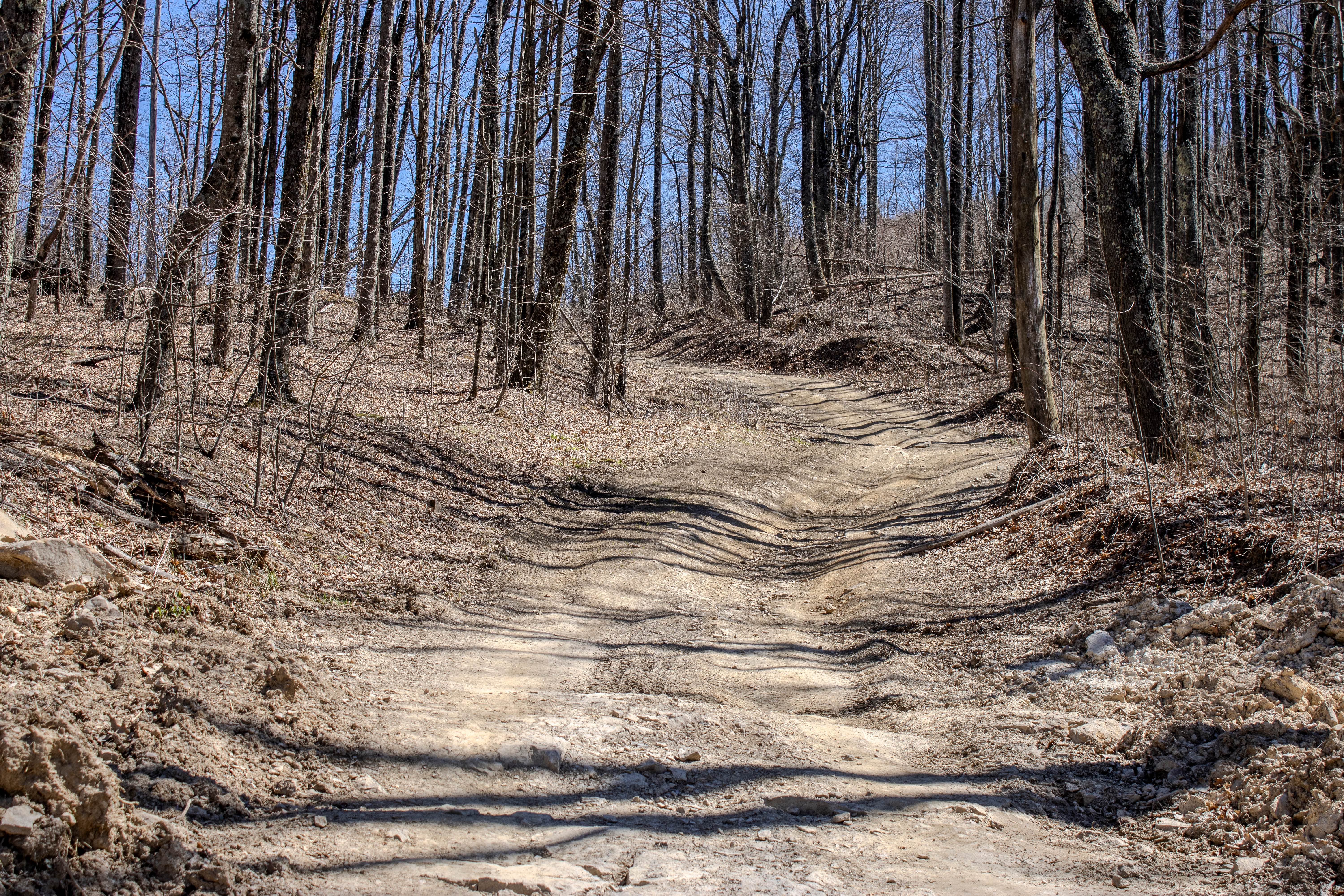
Pine Bald Trail
Total Miles
2.0
Tech Rating
Easy
Best Time
Spring, Summer, Fall
Learn more about Pot Pt Road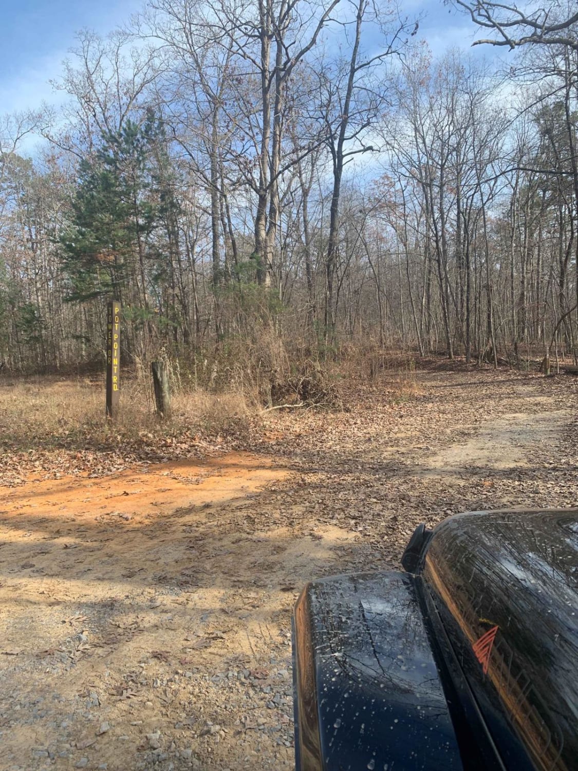
Pot Pt Road
Total Miles
5.1
Tech Rating
Easy
Best Time
Spring, Summer, Fall, Winter
Learn more about Potters Ford Road
Potters Ford Road
Total Miles
4.5
Tech Rating
Easy
Best Time
Fall, Winter, Spring
Learn more about Powerhouse Road 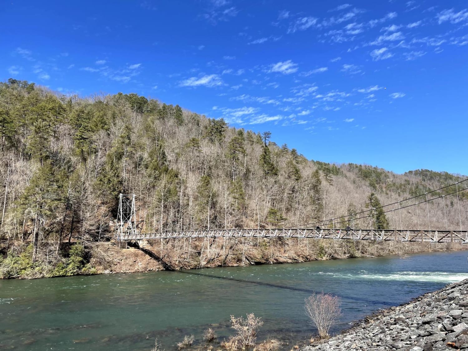
Powerhouse Road
Total Miles
3.8
Tech Rating
Easy
Best Time
Spring, Summer, Fall, Winter
Learn more about Powerline to Jumpoff Road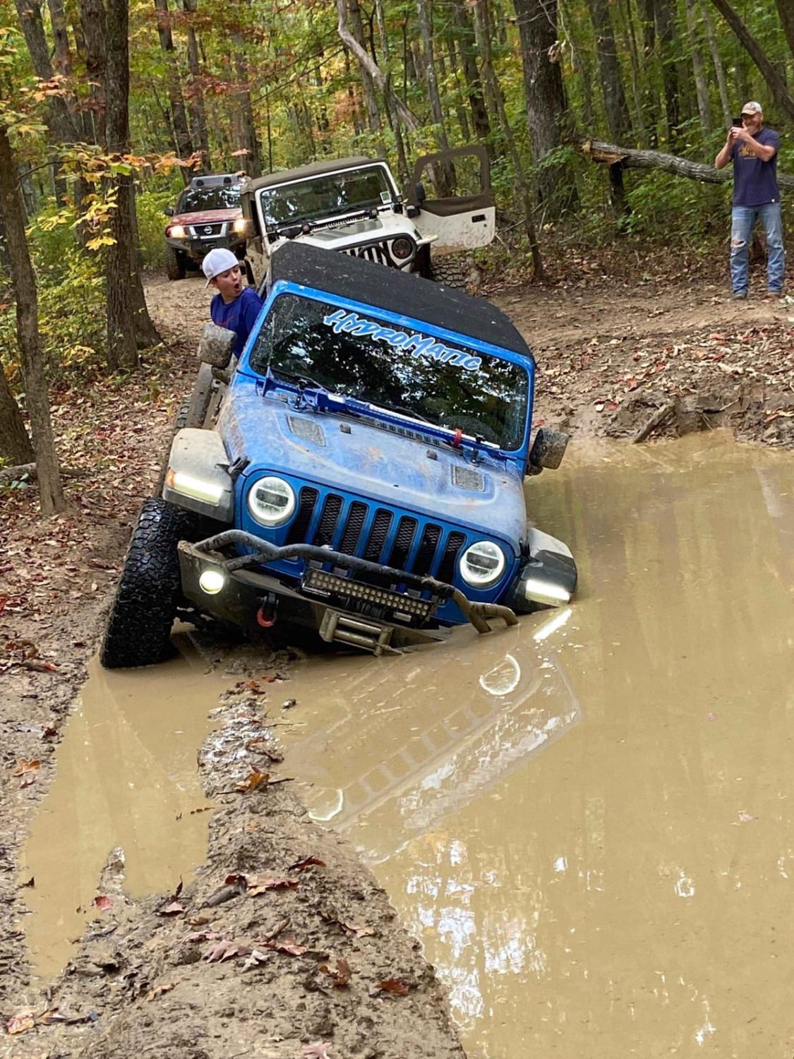
Powerline to Jumpoff Road
Total Miles
2.8
Tech Rating
Moderate
Best Time
Fall
Learn more about Puncheon Creek Road - Macon County Tour
Puncheon Creek Road - Macon County Tour
Total Miles
2.9
Tech Rating
Easy
Best Time
Spring, Fall

Learn more about Railey Road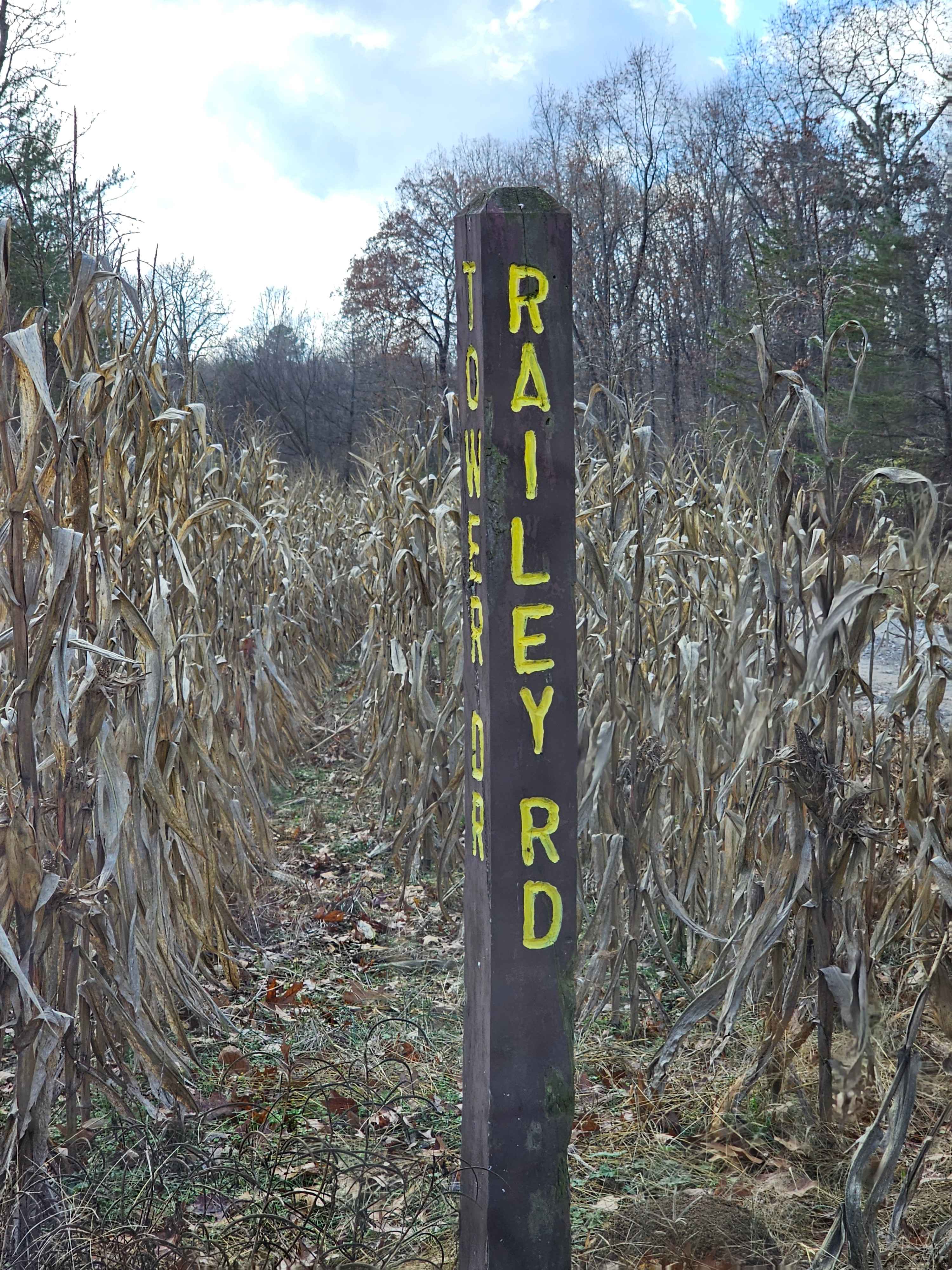
Railey Road
Total Miles
0.7
Tech Rating
Easy
Best Time
Spring, Summer, Fall, Winter
Learn more about Rainbow Falls Loop
Rainbow Falls Loop
Total Miles
6.9
Tech Rating
Moderate
Best Time
Spring, Summer, Fall
ATV trails in Tennessee
Learn more about 1 - Launchpad
1 - Launchpad
Total Miles
1.2
Tech Rating
Easy
Best Time
Spring, Summer, Fall, Winter
Learn more about 11 - Ground Control
11 - Ground Control
Total Miles
0.3
Tech Rating
Easy
Best Time
Spring, Summer, Fall, Winter
UTV/side-by-side trails in Tennessee
Learn more about 1 - Launchpad
1 - Launchpad
Total Miles
1.2
Tech Rating
Easy
Best Time
Spring, Summer, Fall, Winter
Learn more about 11 - Ground Control
11 - Ground Control
Total Miles
0.3
Tech Rating
Easy
Best Time
Spring, Summer, Fall, Winter
The onX Offroad Difference
onX Offroad combines trail photos, descriptions, difficulty ratings, width restrictions, seasonality, and more in a user-friendly interface. Available on all devices, with offline access and full compatibility with CarPlay and Android Auto. Discover what you’re missing today!