RBS 11
Total Miles
3.8
Technical Rating
Best Time
Spring, Summer, Fall, Winter
Trail Type
Full-Width Road
Accessible By
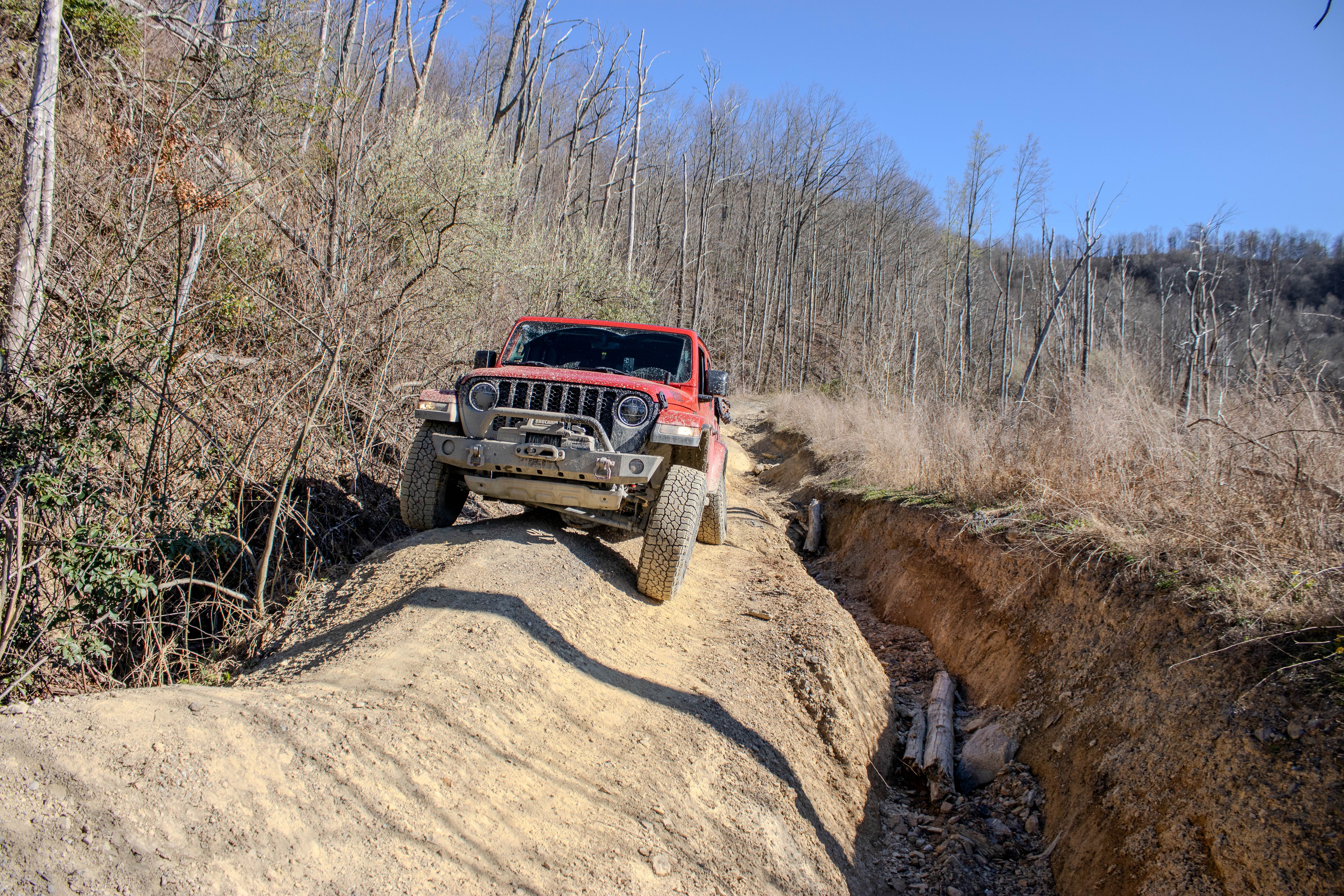
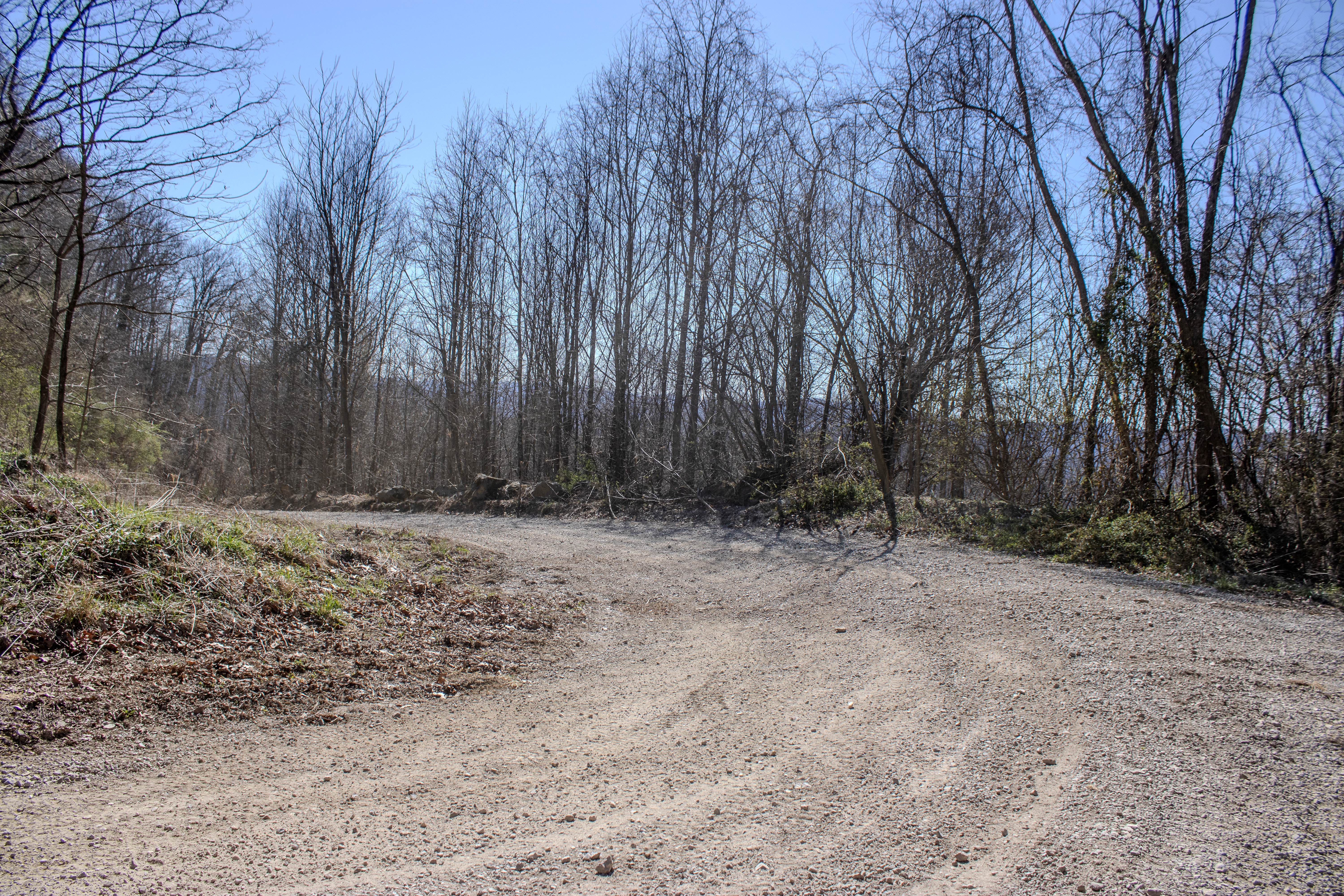
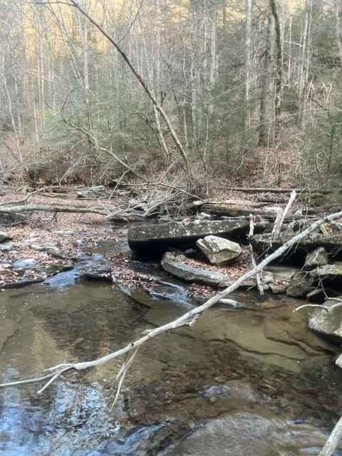
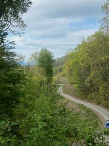
Trail Overview
RBS 11 is a two-way trail that connects Log Road 1 to Long Pit Road within the Royal Blue trail system. The trail is primarily dirt and rock, but it presents a noticeable increase in difficulty compared to nearby connector routes. This trail has multiple narrow sections, and depending on the time of year, overgrowth can encroach on the trail edges. Larger vehicles should expect pinstriping in these areas. There are also several sections with standing water, some reaching up to 24 inches deep. One key obstacle includes a deep mud hole with no bypass. While there is a rock base underneath, the thick mud layer can create traction issues, especially for vehicles without aggressive tires. One of the more technical features is a narrow ridge section where drivers must climb up and stay on a tight line. This area requires good articulation due to alternating dips and rises, and there is a significant drop-off into a washout along the edge. The washout ranges from 2 to 5 feet deep and stretches for roughly 200 feet at its worst point, requiring careful tire placement and attention. Throughout the trail, there are off-camber sections where vehicles may lean up to 25 degrees, often on loose rock surfaces. These areas demand slow, controlled driving to maintain stability.
Photos of RBS 11
Difficulty
RBS 11 is rated a 6 out of 10 due to a combination of technical terrain and consistent obstacles. Narrow sections, deep standing water, and mud with no bypass increase the challenge level. The ridge section with articulation demands and the extended washout with steep drop-offs require precise driving and awareness. Off-camber sections with loose rock further add to the difficulty, especially for less experienced drivers. Vehicles with moderate clearance, good articulation, and aggressive tires are recommended. Wet conditions will significantly increase the difficulty of this trail.
Status Reports
RBS 11 can be accessed by the following ride types:
- High-Clearance 4x4
- SUV
- SxS (60")
- ATV (50")
- Dirt Bike
RBS 11 Map
Popular Trails

9 - Little Dipper

Coalmont Trail 2 Blue
FR126 Waucheesi Bald
The onX Offroad Difference
onX Offroad combines trail photos, descriptions, difficulty ratings, width restrictions, seasonality, and more in a user-friendly interface. Available on all devices, with offline access and full compatibility with CarPlay and Android Auto. Discover what you’re missing today!