Coalmont Trail 2 Blue
Total Miles
1.3
Technical Rating
Best Time
Spring, Summer, Fall, Winter
Trail Type
High-Clearance 4x4 Trail
Accessible By
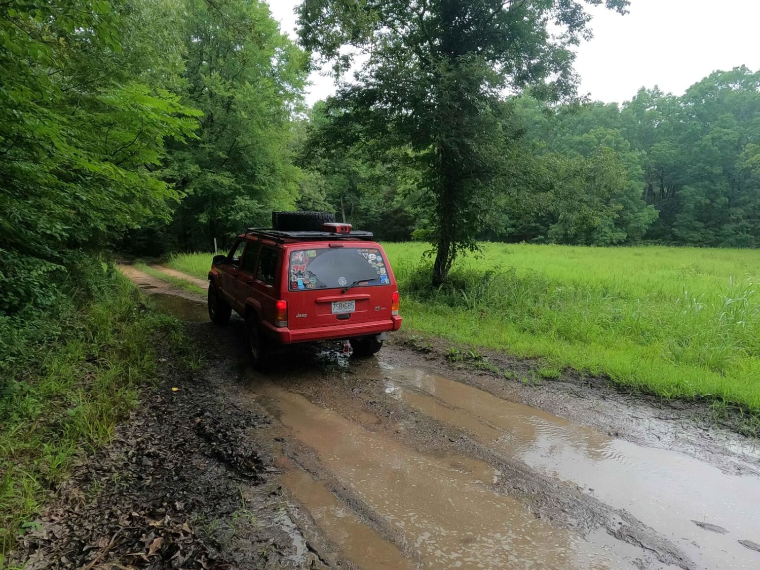
Trail Overview
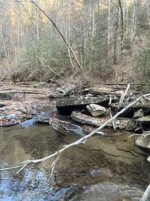
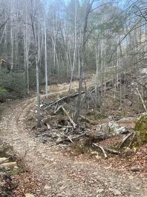
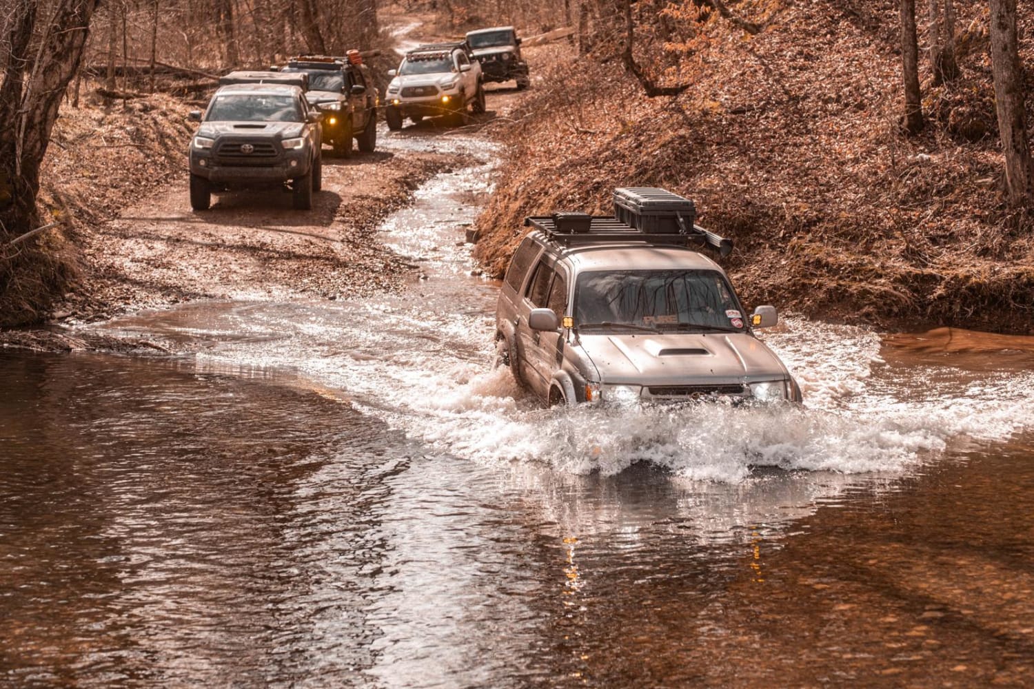
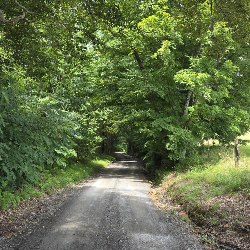
Trail 2 Blue has 8 creek crossings and lots of rock climbs, up to 24 inches high. The trail can be accessed from Trail 13, Trail 1, and Trail 2 Green. There is a long hill that has quite a few tight switchbacks, and elevation changes over 400 feet.
Photos of Coalmont Trail 2 Blue
Difficulty
steep climb with tight switch backs and rock obstacles up to 24 inches tall.
Coalmont Trail 2 Blue can be accessed by the following ride types:
- High-Clearance 4x4
- SxS (60")
- ATV (50")
- Dirt Bike
Coalmont Trail 2 Blue Map
Popular Trails
Morgan Cemetery Road FSR 222
Salt Lick Creek Crossing

Highland Road - Macon County Tour
The onX Offroad Difference
onX Offroad combines trail photos, descriptions, difficulty ratings, width restrictions, seasonality, and more in a user-friendly interface. Available on all devices, with offline access and full compatibility with CarPlay and Android Auto. Discover what you’re missing today!