Parson Branch Road
Total Miles
7.9
Technical Rating
Best Time
Spring, Summer, Fall
Trail Type
Full-Width Road
Accessible By
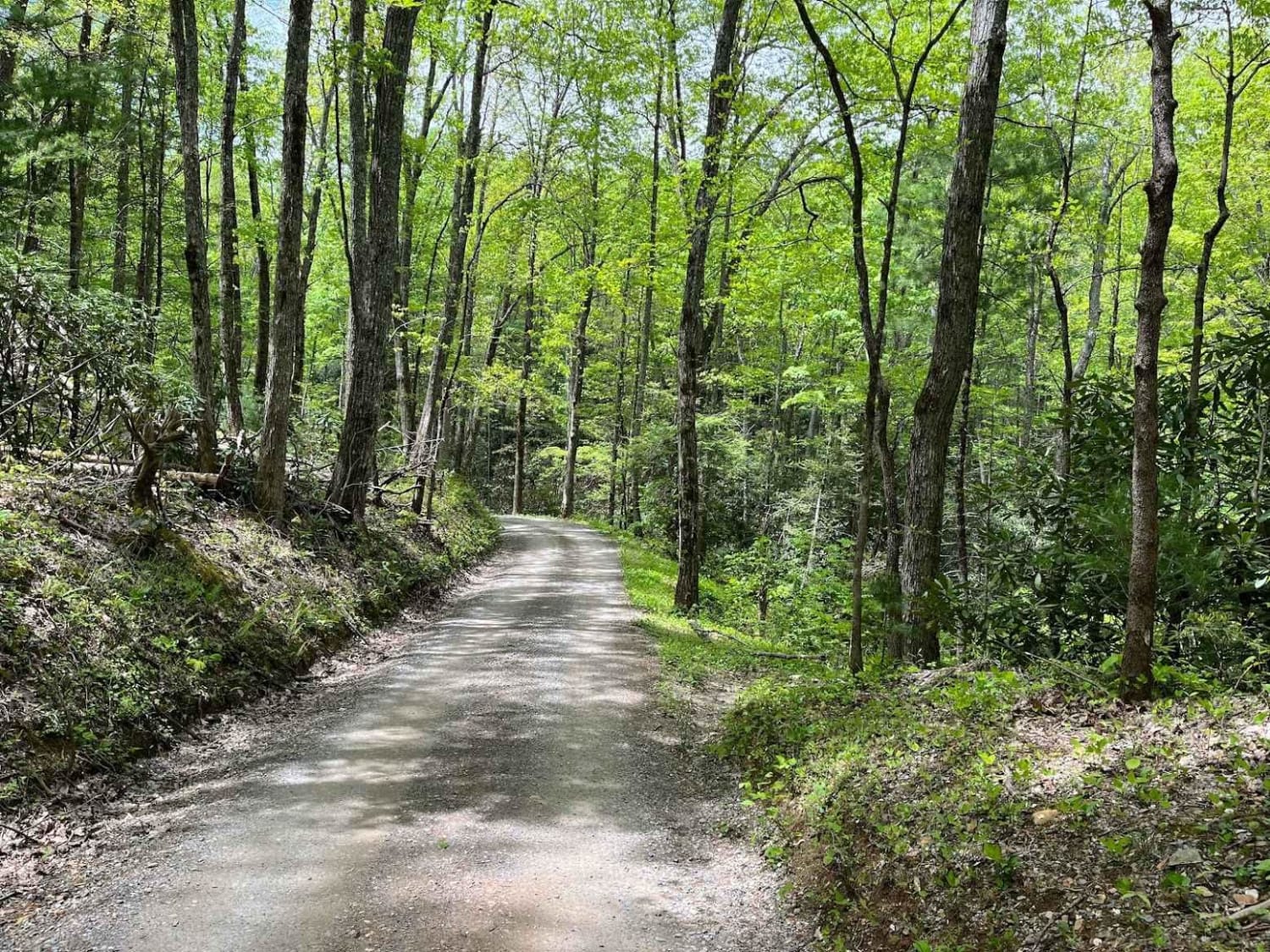
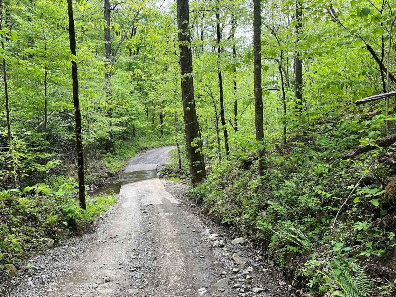
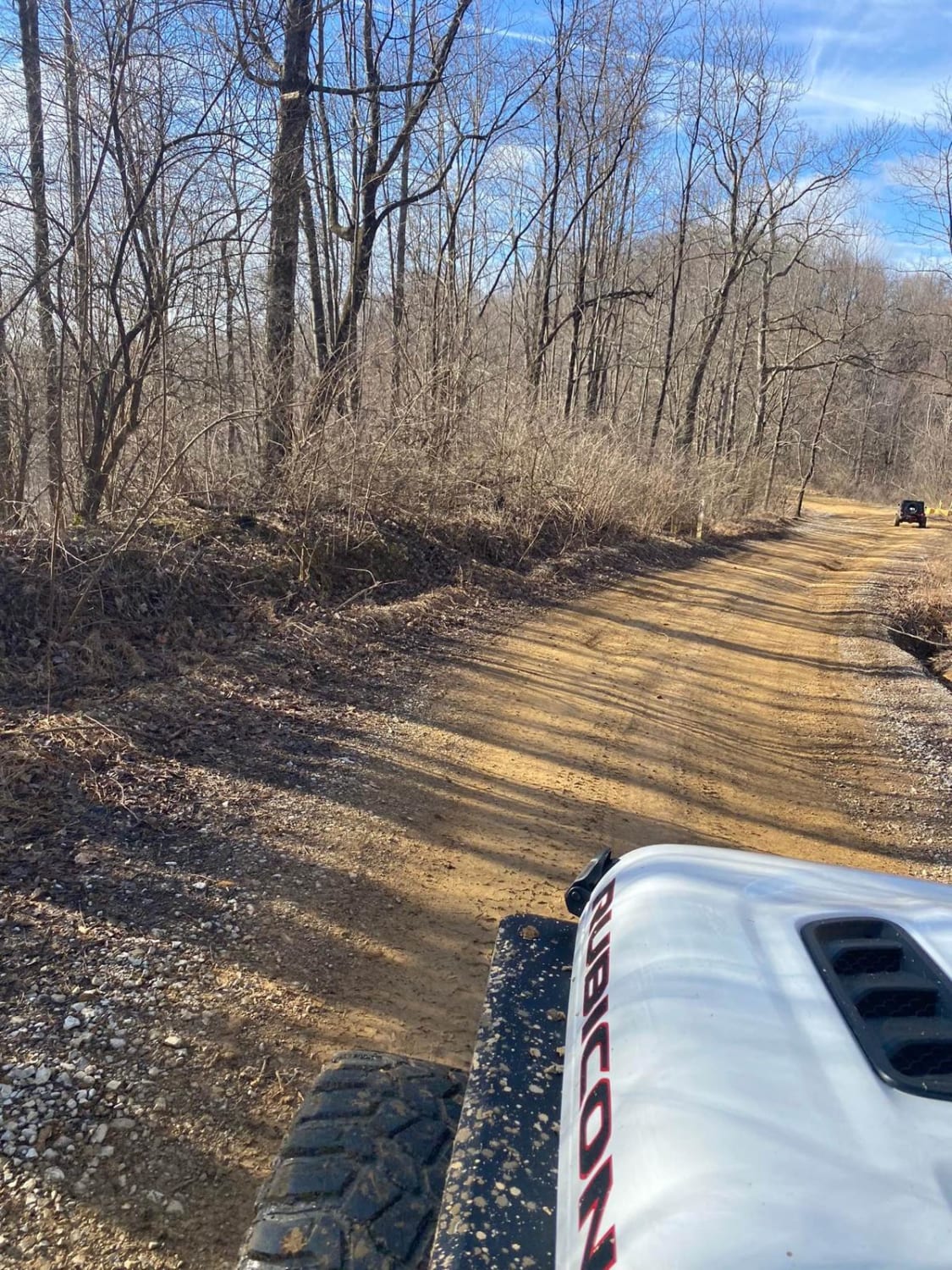
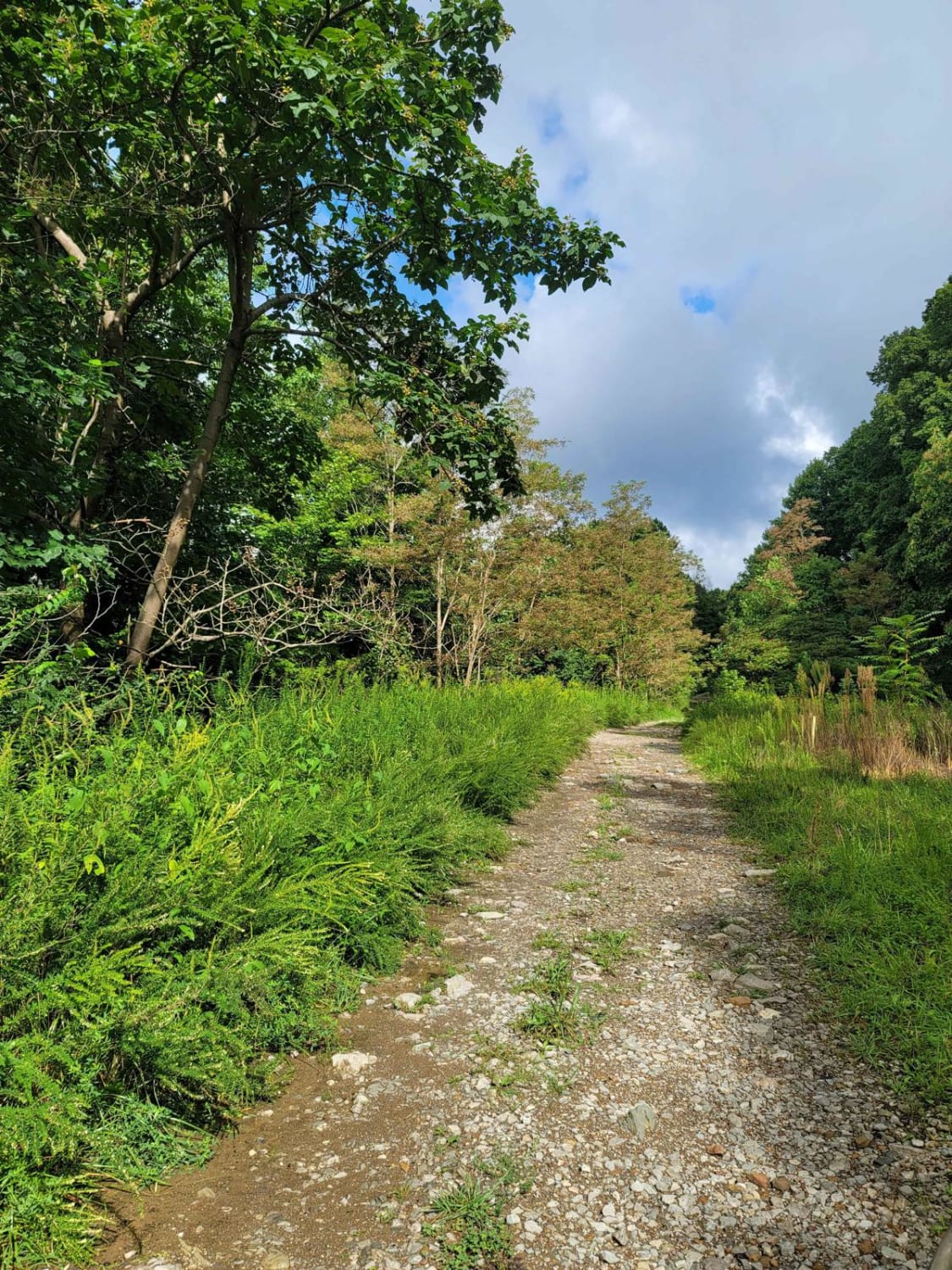
Trail Overview
Parson Branch is a full gravel, one-way, scenic route that leads through the Smoky Mountains. The road is maintained, however, you may find the occasional tree down after heavy storms. This is usually not a problem. There are also many shallow water crossings, all less than 1ft deep. 4WD is not needed at all for the route and is friendly for stock-height vehicles.
Photos of Parson Branch Road
Difficulty
One vehicle wide with occasional pull-offs. One-way route. Many shallow water crossings, all less than 1ft deep. Possibility of trees on the road after heavy storms. If not for those mentioned, I would give this trail a 1 for its rating.
History
The route was completed in 1838. It connects Cades Cove to Tail of the Dragon.
Status Reports
Parson Branch Road can be accessed by the following ride types:
- High-Clearance 4x4
- SUV
- SxS (60")
Parson Branch Road Map
Popular Trails
Windrock P1/G1
The onX Offroad Difference
onX Offroad combines trail photos, descriptions, difficulty ratings, width restrictions, seasonality, and more in a user-friendly interface. Available on all devices, with offline access and full compatibility with CarPlay and Android Auto. Discover what you’re missing today!