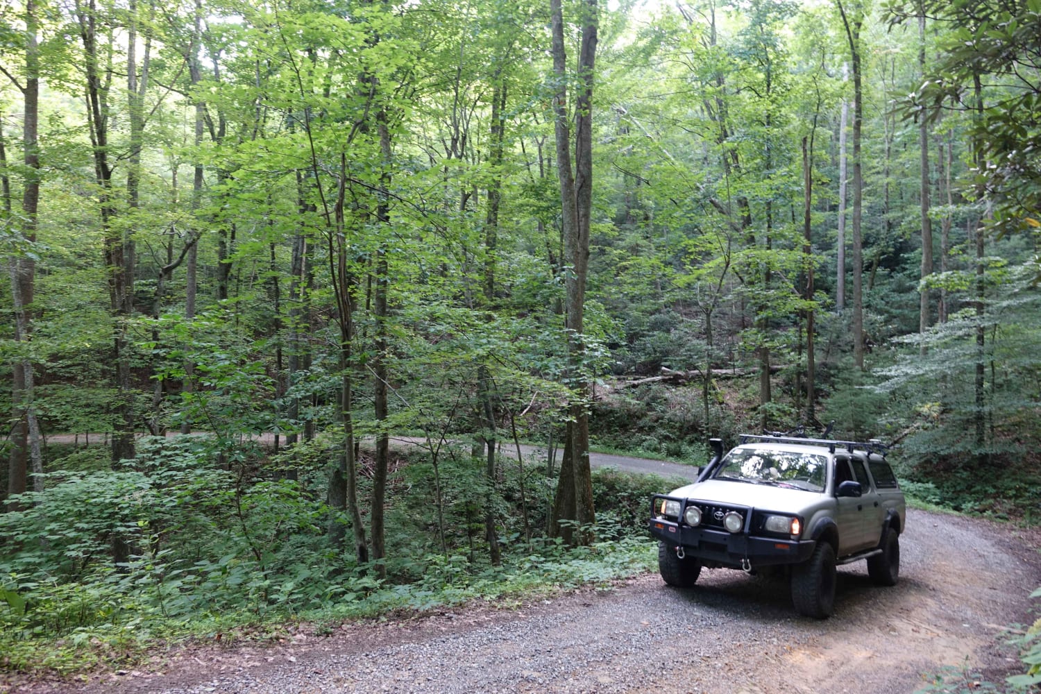
Paint Mountain Road
Total Miles
3.8
Technical Rating
Best Time
Winter, Fall
Trail Type
Full-Width Road
Accessible By
Trail Overview
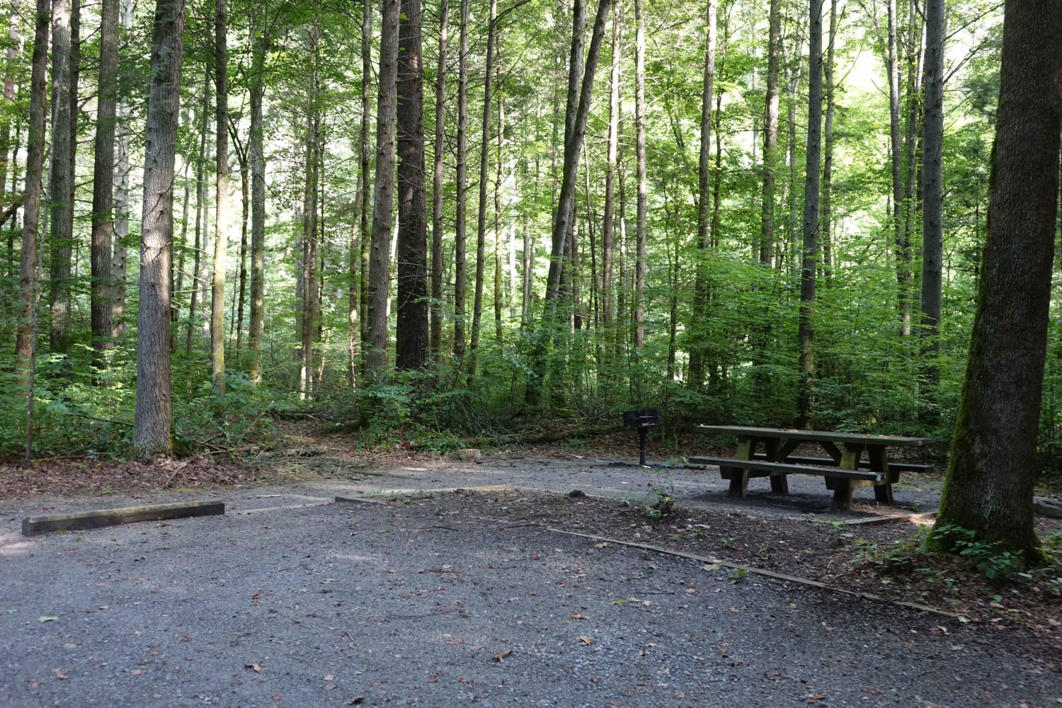
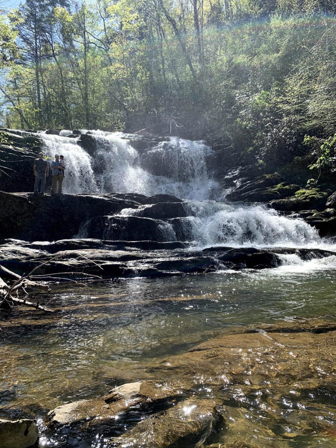
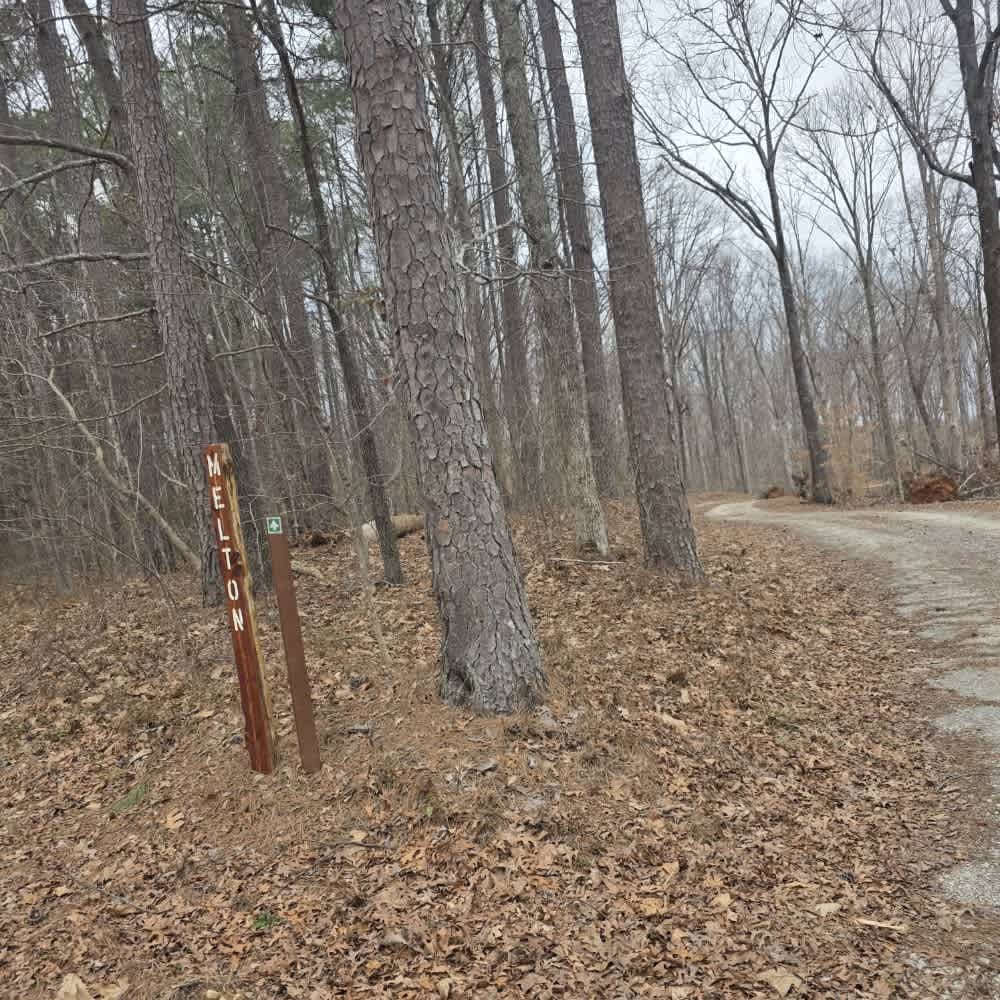
Paint Mountain is a great way to connect Hurricane Gap to the east, with some of the other roads and trails west of this area. It's 1 to 1.5 cars wide and outside of a few rough sections, the gravel is well maintained. At the southern terminus, you'll find the Chimney Rocks trailhead and French Broad River. In the Fall and Winter, this route offers amazing views of foliage and the mountainous landscape. Few camping areas are available due to the steep terrain, but there are lots of options in the surrounding area. At the southern terminus, you'll find Paint Creek Road. This paved route connects with Hurricane Creek and offers picnic areas, waterfalls, and camping along the way.
Photos of Paint Mountain Road
Difficulty
As long as you aren't going fast any 2wd should be fine. It might be a rough ride, but there's no danger of getting stuck.
Status Reports
Paint Mountain Road can be accessed by the following ride types:
- High-Clearance 4x4
- SUV
Paint Mountain Road Map
Popular Trails
Conasauga Creek Falls Trailhead
89 - Little Braden Flat

Gravley Hill Road - Macon County Tour
The onX Offroad Difference
onX Offroad combines trail photos, descriptions, difficulty ratings, width restrictions, seasonality, and more in a user-friendly interface. Available on all devices, with offline access and full compatibility with CarPlay and Android Auto. Discover what you’re missing today!