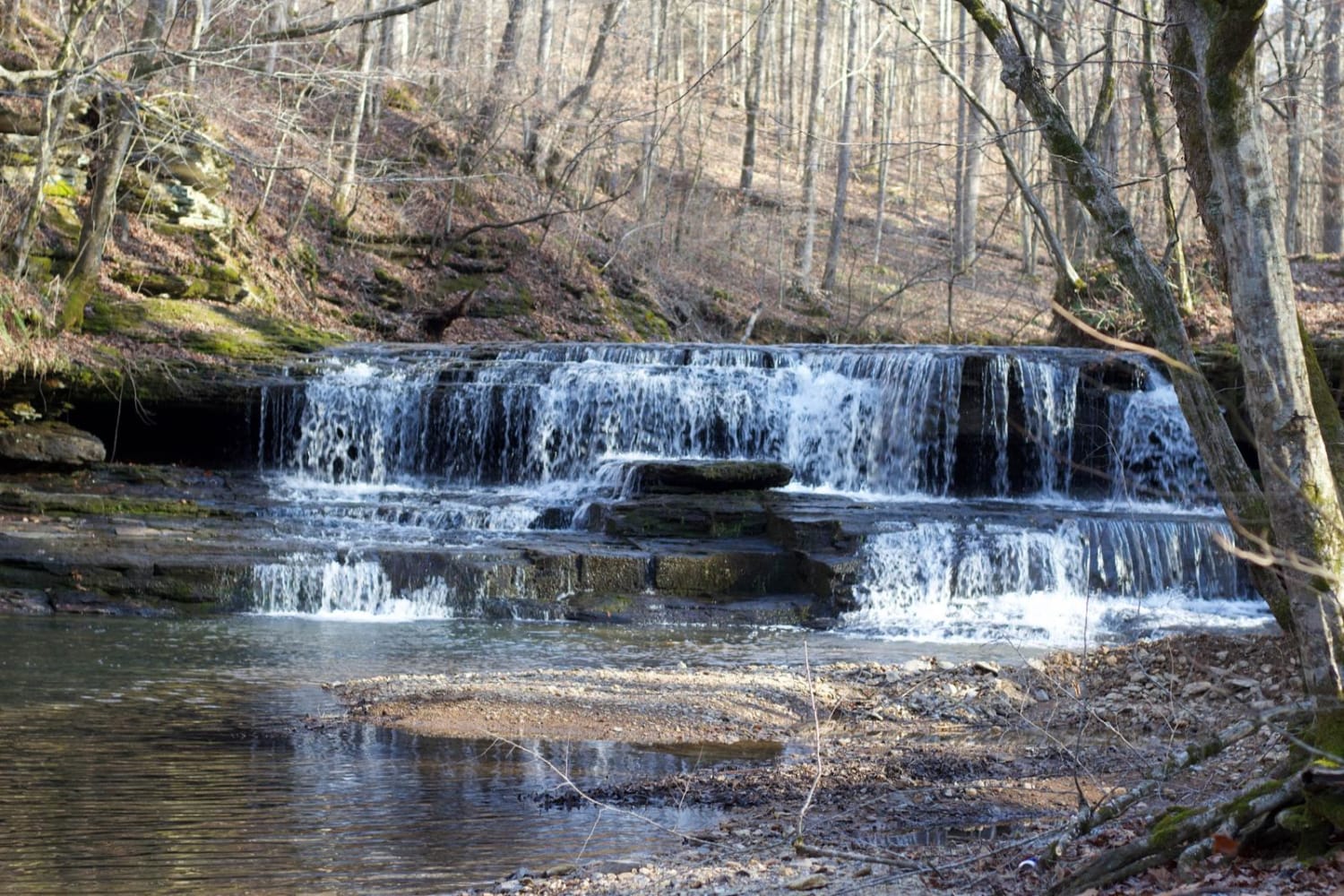
Long Fork Waterfall
Total Miles
0.2
Technical Rating
Best Time
Spring, Summer, Fall
Trail Type
Full-Width Road
Accessible By
Trail Overview
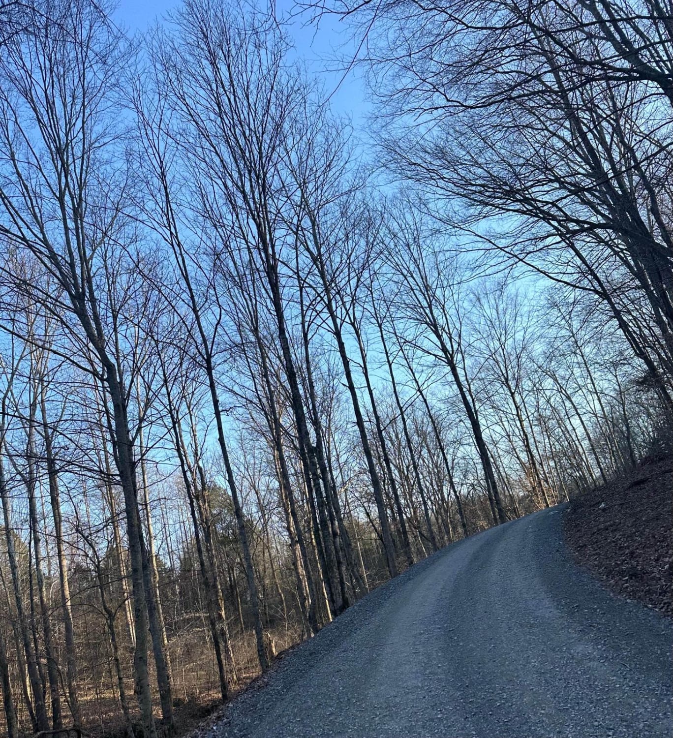
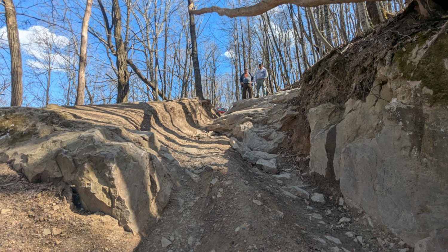
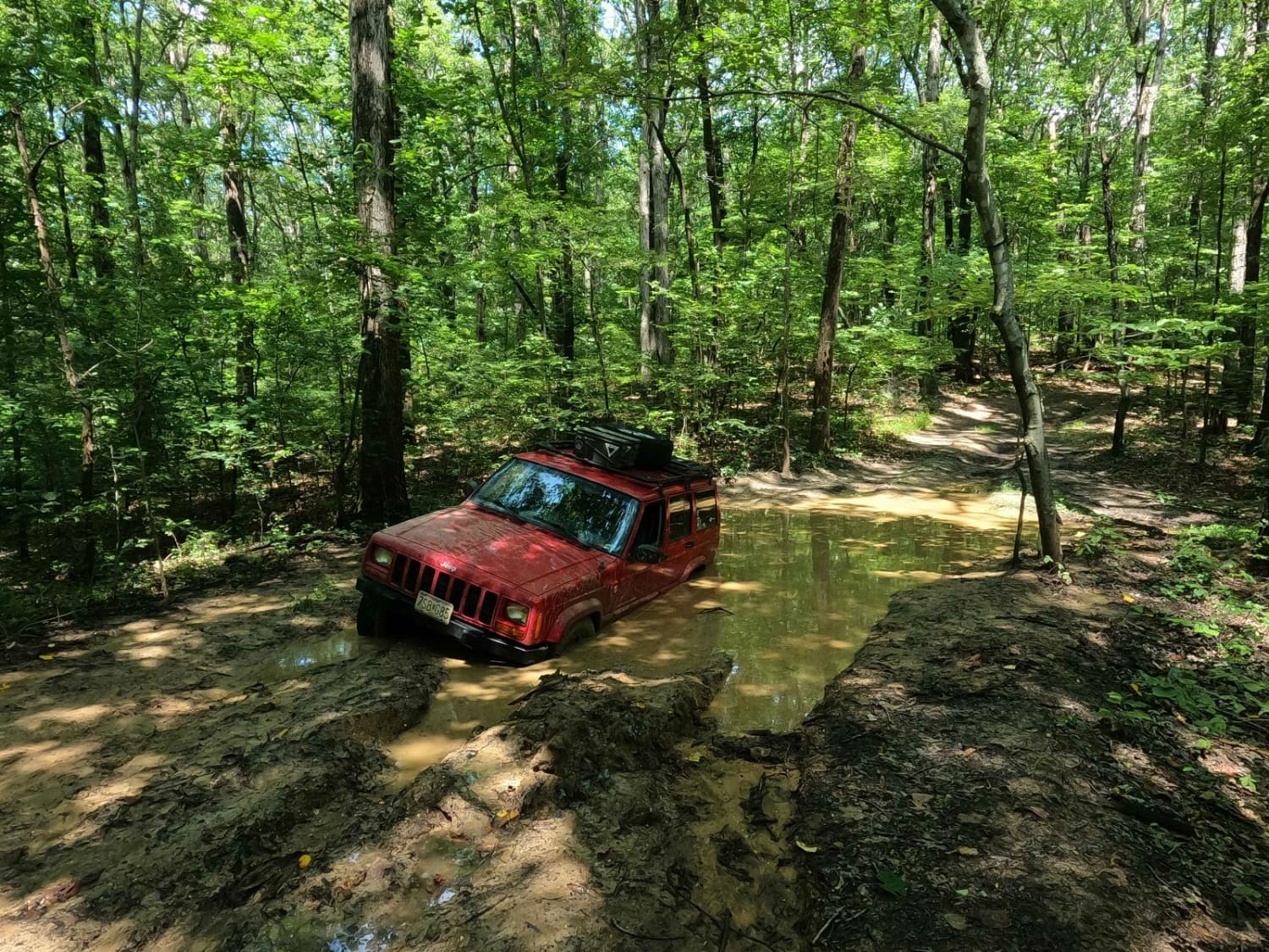
Woodard Road is not a technical route; it is an easy gravel road leading down to a shallow creek crossing that includes a waterfall. The creek is shallow but the rock bottom can be slick. You can drive across it and continue further down the road or just turn around and head back out.
Photos of Long Fork Waterfall
Difficulty
This is a maintained gravel road that takes you down into a shallow creek. No true modifications are needed.
Status Reports
Long Fork Waterfall can be accessed by the following ride types:
- High-Clearance 4x4
- SUV
- SxS (60")
- ATV (50")
- Dirt Bike
Long Fork Waterfall Map
Popular Trails
Barrow Cemetery FSR 376

The onX Offroad Difference
onX Offroad combines trail photos, descriptions, difficulty ratings, width restrictions, seasonality, and more in a user-friendly interface. Available on all devices, with offline access and full compatibility with CarPlay and Android Auto. Discover what you’re missing today!