Trail 27
Total Miles
0.3
Technical Rating
Best Time
Spring, Summer, Fall, Winter
Trail Type
Full-Width Road
Accessible By
Trail Overview
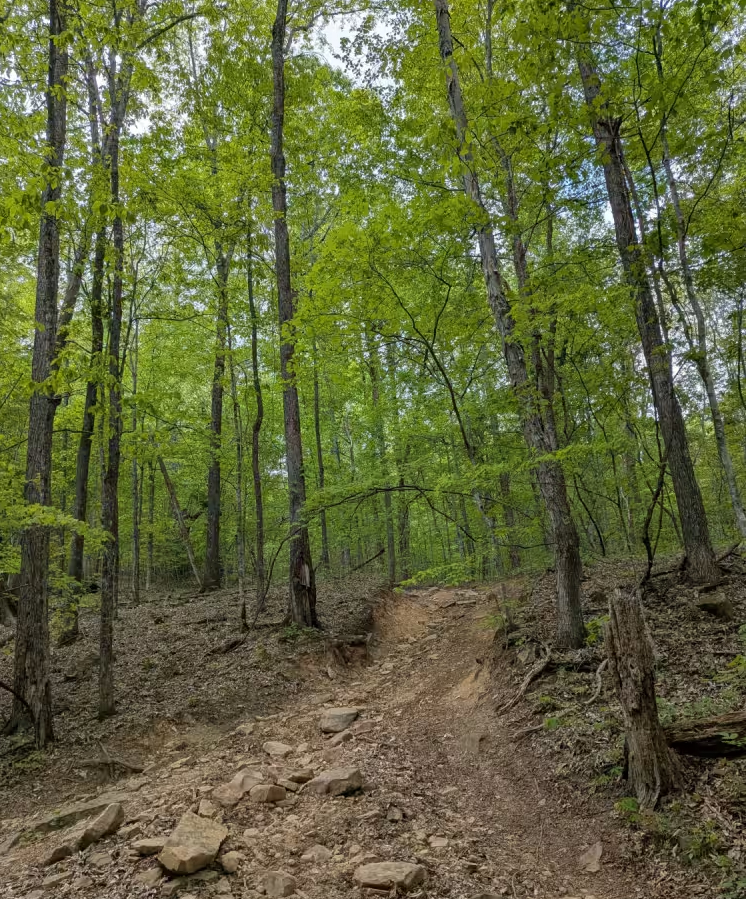
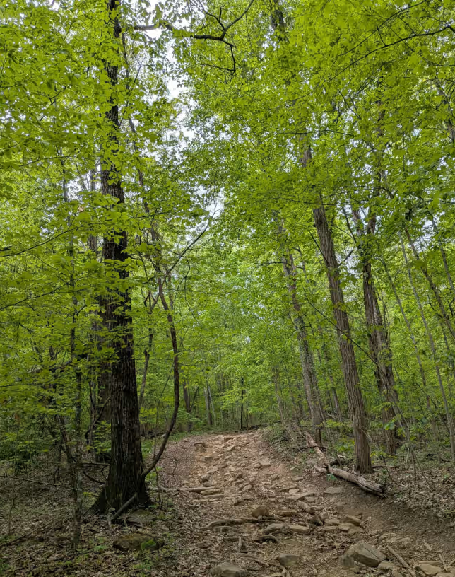
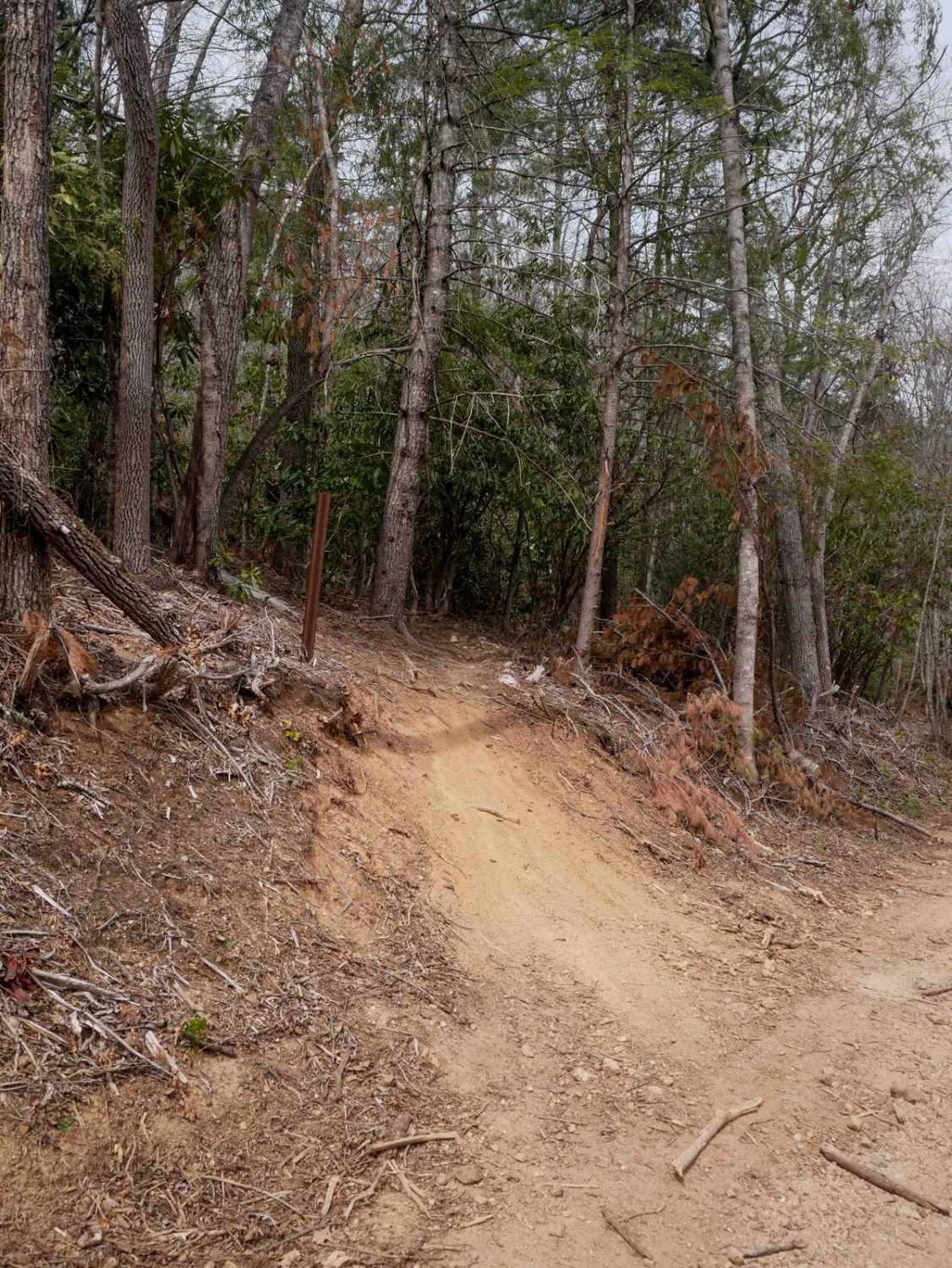
Trail 27 is a U-shaped trail that begins and ends on Trail 1. It goes up a rocky hill to where JW3 and GWT meet and then comes back down. The trail can be run in either direction and consists of large rocks and some V-notches. It can also become very slippery when wet. In either direction, you will have obstacles going both uphill and down. The park rating for this trail is Blue (Moderate). A Park Day-Use Trail Pass is required to access this system of trails. Cell service is spotty in places, and trail conditions can change quickly, especially during rainy or winter seasons.
Photos of Trail 27
Difficulty
This trail is steep with multiple rock obstacles.
Status Reports
Trail 27 can be accessed by the following ride types:
- High-Clearance 4x4
- SUV
- SxS (60")
- ATV (50")
- Dirt Bike
Trail 27 Map
Popular Trails

Tyler Ridge Road
Duckett Ridge FSR #22B
The onX Offroad Difference
onX Offroad combines trail photos, descriptions, difficulty ratings, width restrictions, seasonality, and more in a user-friendly interface. Available on all devices, with offline access and full compatibility with CarPlay and Android Auto. Discover what you’re missing today!