Off-Road Trails in California
Discover off-road trails in California
Learn more about Azalea Creek - FS 9S014B
Azalea Creek - FS 9S014B
Total Miles
1.2
Tech Rating
Easy
Best Time
Summer, Fall
Learn more about Back to Where Ya Came From
Back to Where Ya Came From
Total Miles
2.7
Tech Rating
Moderate
Best Time
Winter, Fall, Spring
Learn more about Back Way to Schmidt Tunnel
Back Way to Schmidt Tunnel
Total Miles
9.0
Tech Rating
Easy
Best Time
Spring, Fall, Winter
Learn more about Backdoor
Backdoor
Total Miles
0.1
Tech Rating
Extreme
Best Time
Spring, Summer, Fall, Winter
Learn more about Bailey Canyon
Bailey Canyon
Total Miles
16.2
Tech Rating
Moderate
Best Time
Spring, Summer, Fall
Learn more about Baker Creek - FS 32E301
Baker Creek - FS 32E301
Total Miles
4.2
Tech Rating
Moderate
Best Time
Fall, Summer
Learn more about Balancing Boulder Camp to Needles Highway
Balancing Boulder Camp to Needles Highway
Total Miles
7.6
Tech Rating
Easy
Best Time
Spring, Fall, Summer
Learn more about Bald Mountain
Bald Mountain
Total Miles
8.3
Tech Rating
Moderate
Best Time
Spring, Summer, Fall, Winter
Learn more about Bald Mountain - FS 26E219
Bald Mountain - FS 26E219
Total Miles
3.6
Tech Rating
Moderate
Best Time
Summer, Fall, Spring, Winter
Learn more about Bald Mountain - FS 32E604-SNO
Bald Mountain - FS 32E604-SNO
Total Miles
11.1
Tech Rating
Easy
Best Time
Fall, Summer
Learn more about Bald Mountain Overlook
Bald Mountain Overlook
Total Miles
3.0
Tech Rating
Moderate
Best Time
Summer
Learn more about Bald Rush - FS 26E311
Bald Rush - FS 26E311
Total Miles
0.7
Tech Rating
Moderate
Best Time
Summer, Fall
Learn more about Baldy Bald Climb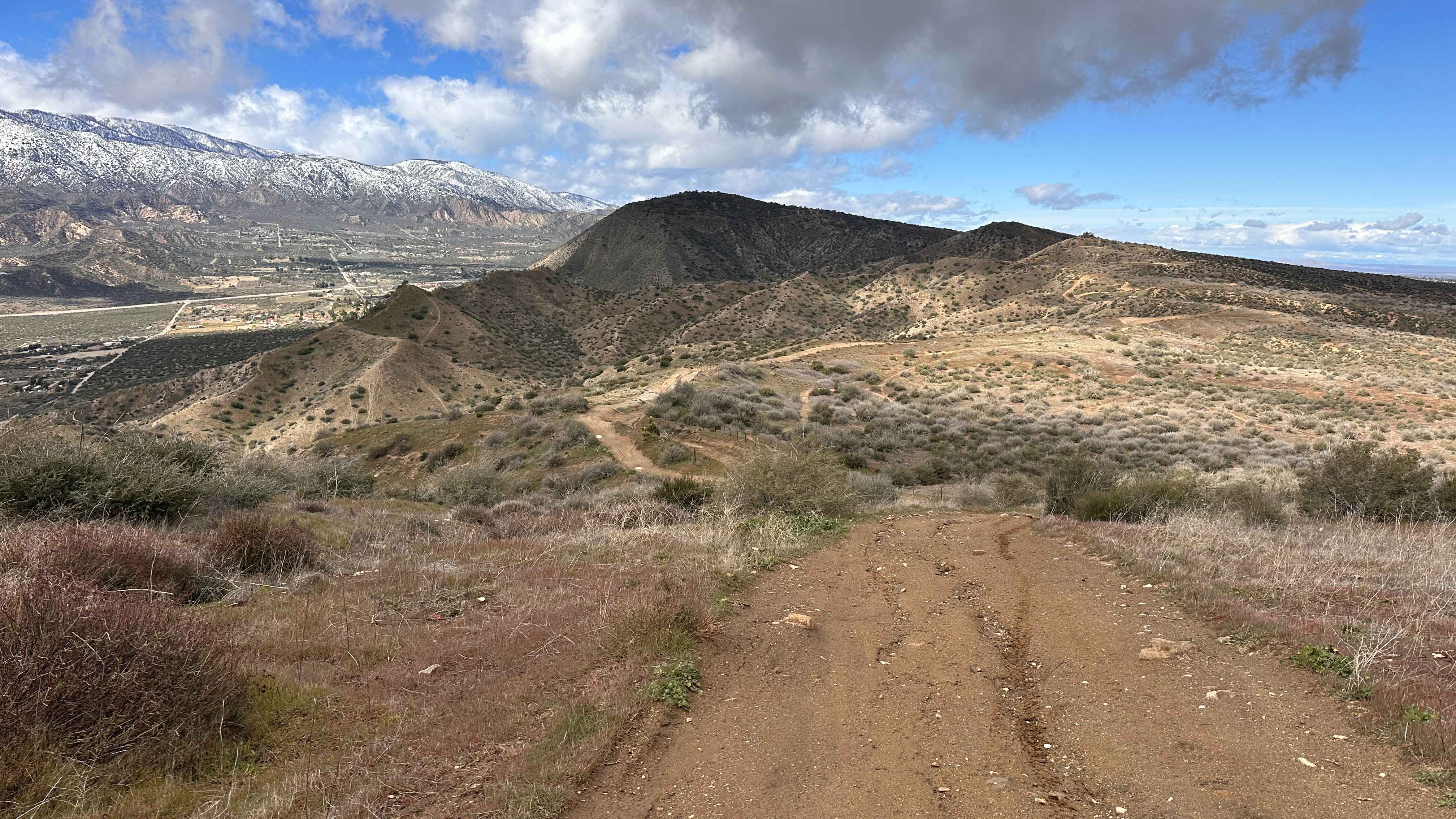
Baldy Bald Climb
Total Miles
0.2
Tech Rating
Difficult
Best Time
Spring, Summer, Fall, Winter
Learn more about Baldy Mesa Staging Corridor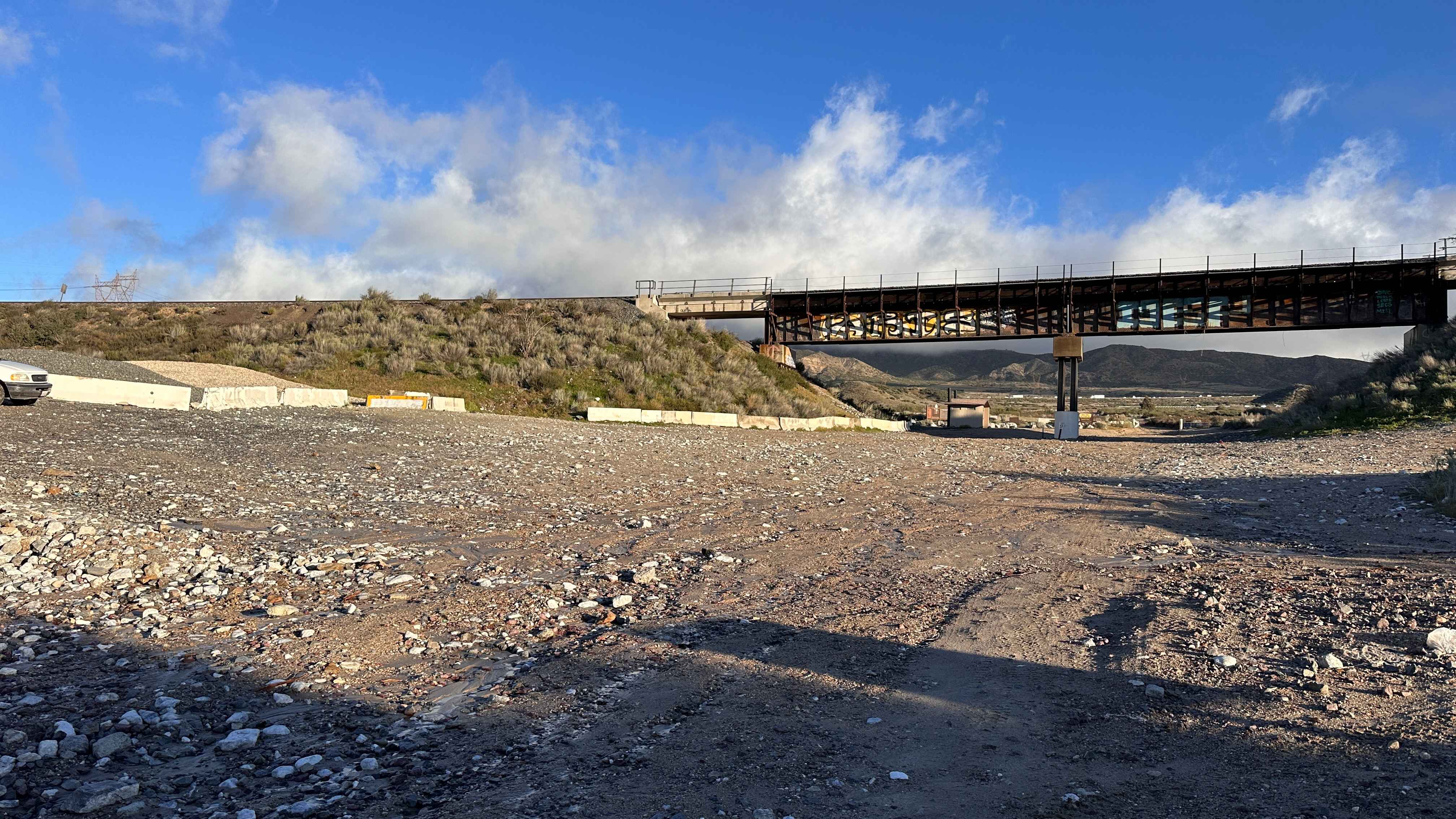
Baldy Mesa Staging Corridor
Total Miles
3.4
Tech Rating
Easy
Best Time
Spring, Summer, Fall
Learn more about Bank Wash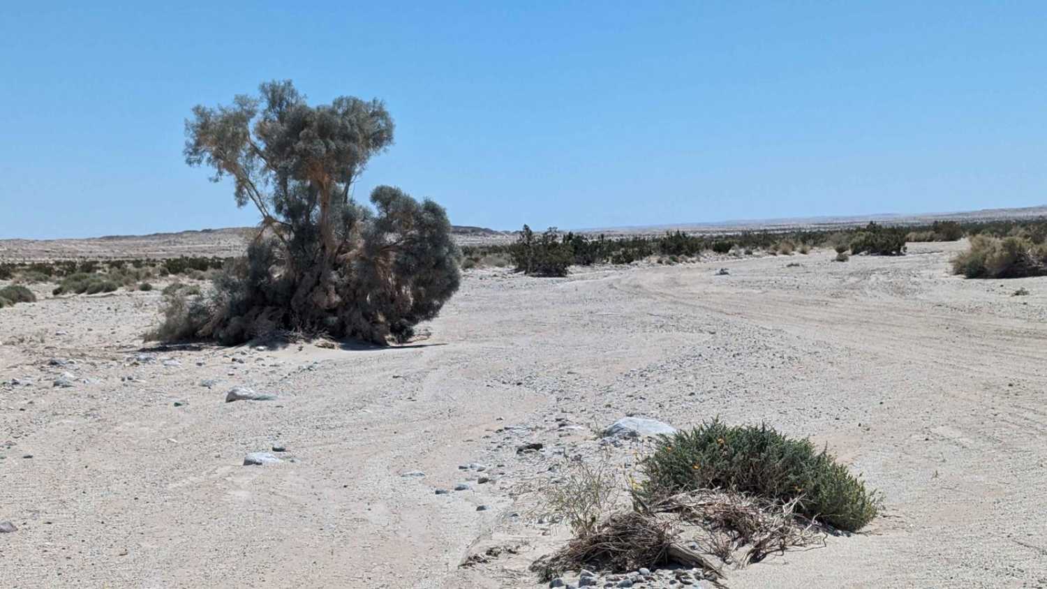
Bank Wash
Total Miles
7.1
Tech Rating
Easy
Best Time
Spring, Summer, Fall, Winter
Learn more about Barbecue - FS 8S056
Barbecue - FS 8S056
Total Miles
1.1
Tech Rating
Easy
Best Time
Summer, Fall
Learn more about Barker Meadows OHV Trail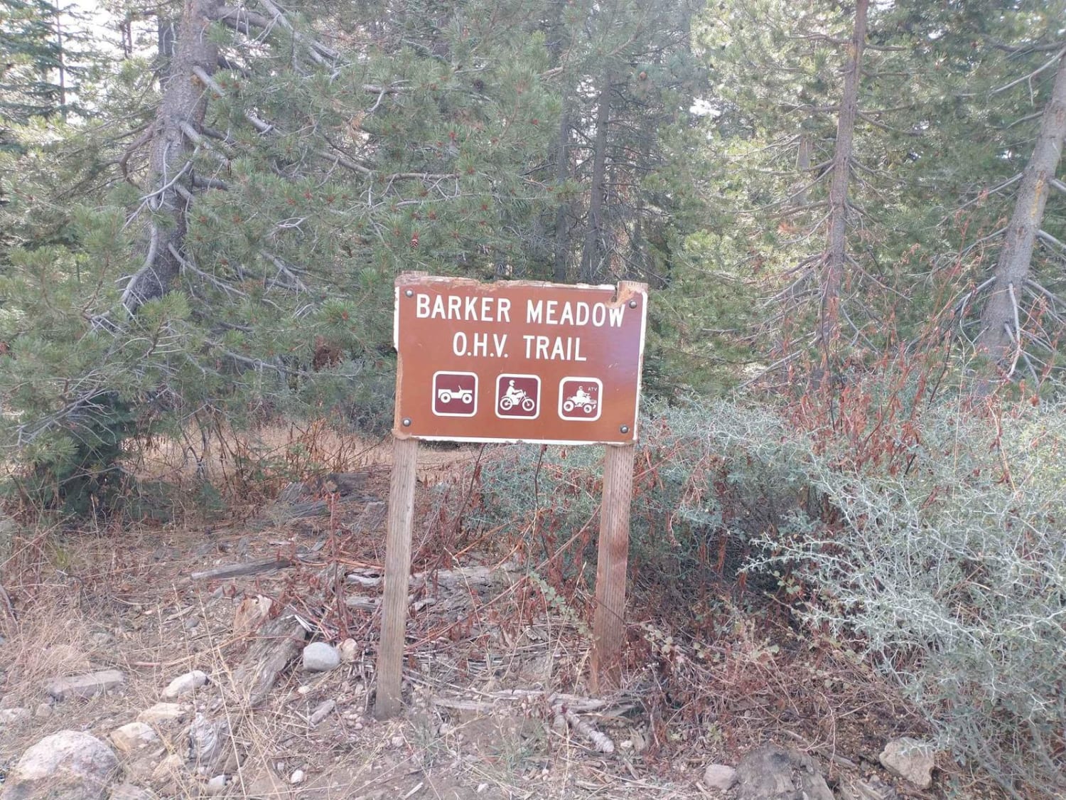
Barker Meadows OHV Trail
Total Miles
1.8
Tech Rating
Moderate
Best Time
Summer, Fall
Learn more about Barney Oldfield Road
Barney Oldfield Road
Total Miles
16.8
Tech Rating
Easy
Best Time
Spring, Summer, Fall
ATV trails in California


UTV/side-by-side trails in California


Learn more about 3N267 Fenner Saddle (4N12)
3N267 Fenner Saddle (4N12)
Total Miles
3.8
Tech Rating
Difficult
Best Time
Spring, Summer, Fall, Winter

The onX Offroad Difference
onX Offroad combines trail photos, descriptions, difficulty ratings, width restrictions, seasonality, and more in a user-friendly interface. Available on all devices, with offline access and full compatibility with CarPlay and Android Auto. Discover what you’re missing today!