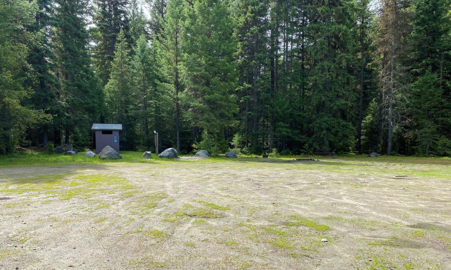
Off-Road Trails in Washington
Discover off-road trails in Washington
Learn more about Powder Horn Spur Road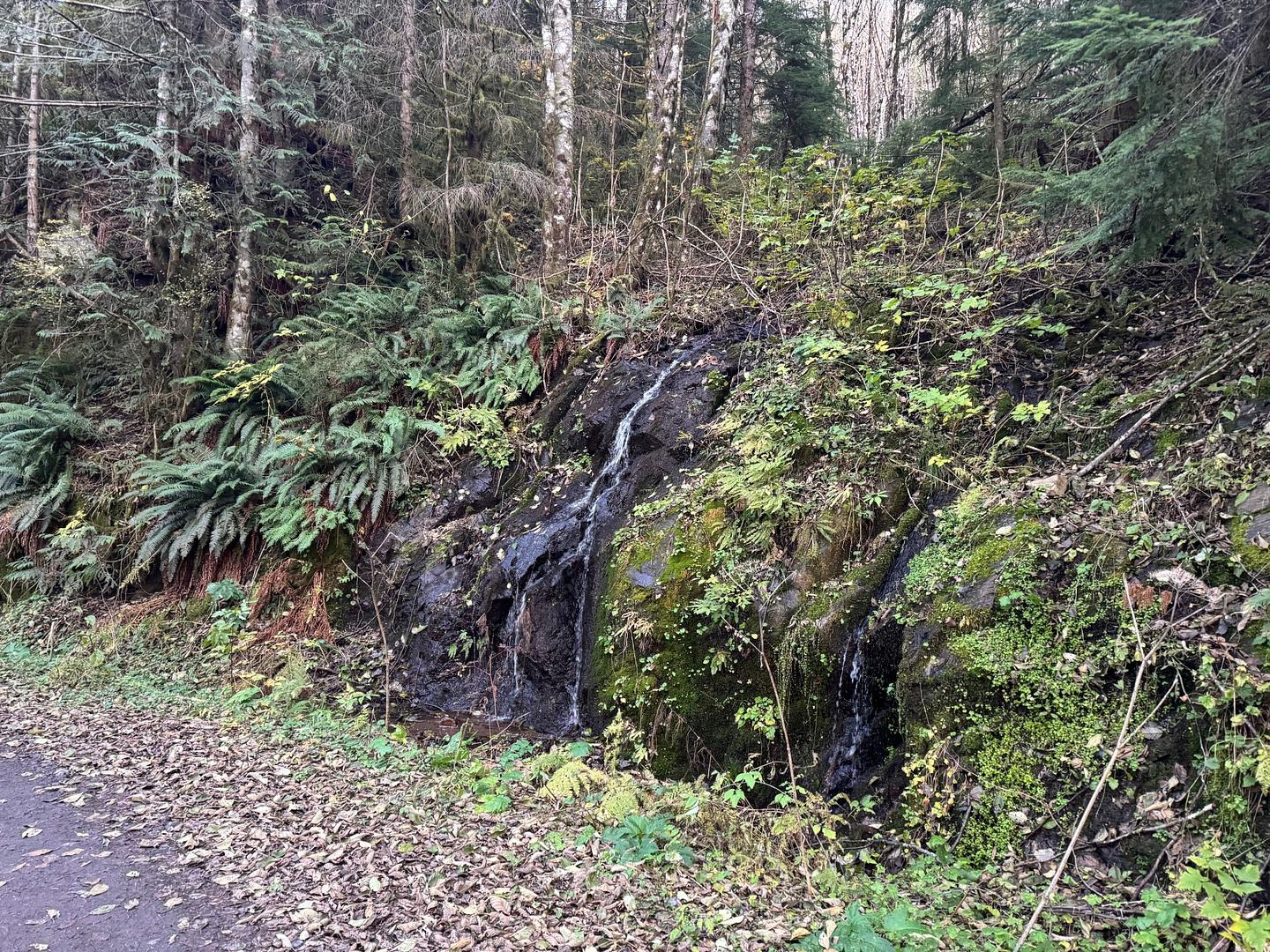
Powder Horn Spur Road
Total Miles
3.5
Tech Rating
Easy
Best Time
Spring, Summer, Fall, Winter
Learn more about Powerline Road
Powerline Road
Total Miles
3.8
Tech Rating
Easy
Best Time
Fall, Summer, Spring
Learn more about Powerline Road - FS 2000-092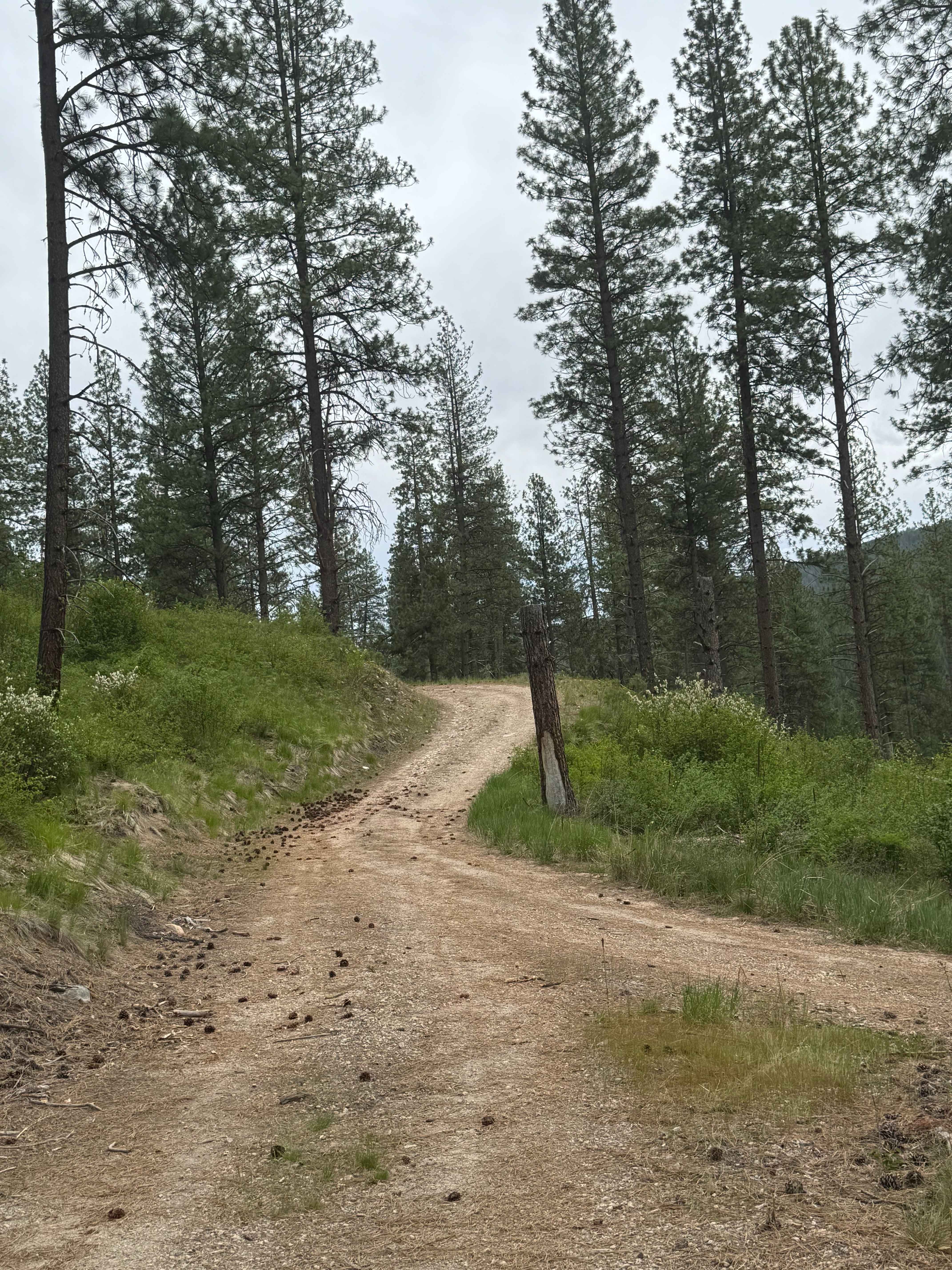
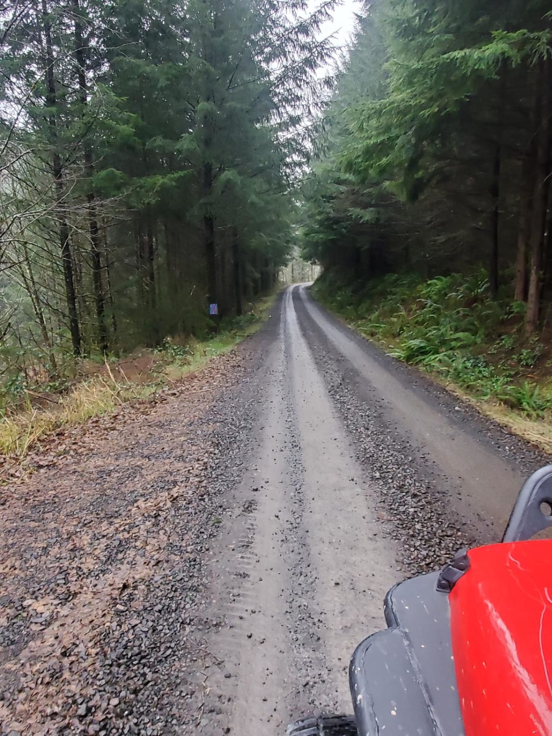
Powerline Road - FS 2000-092
Total Miles
3.1
Tech Rating
Easy
Best Time
Spring, Summer, Fall
Learn more about Prairie Creek - FS 2190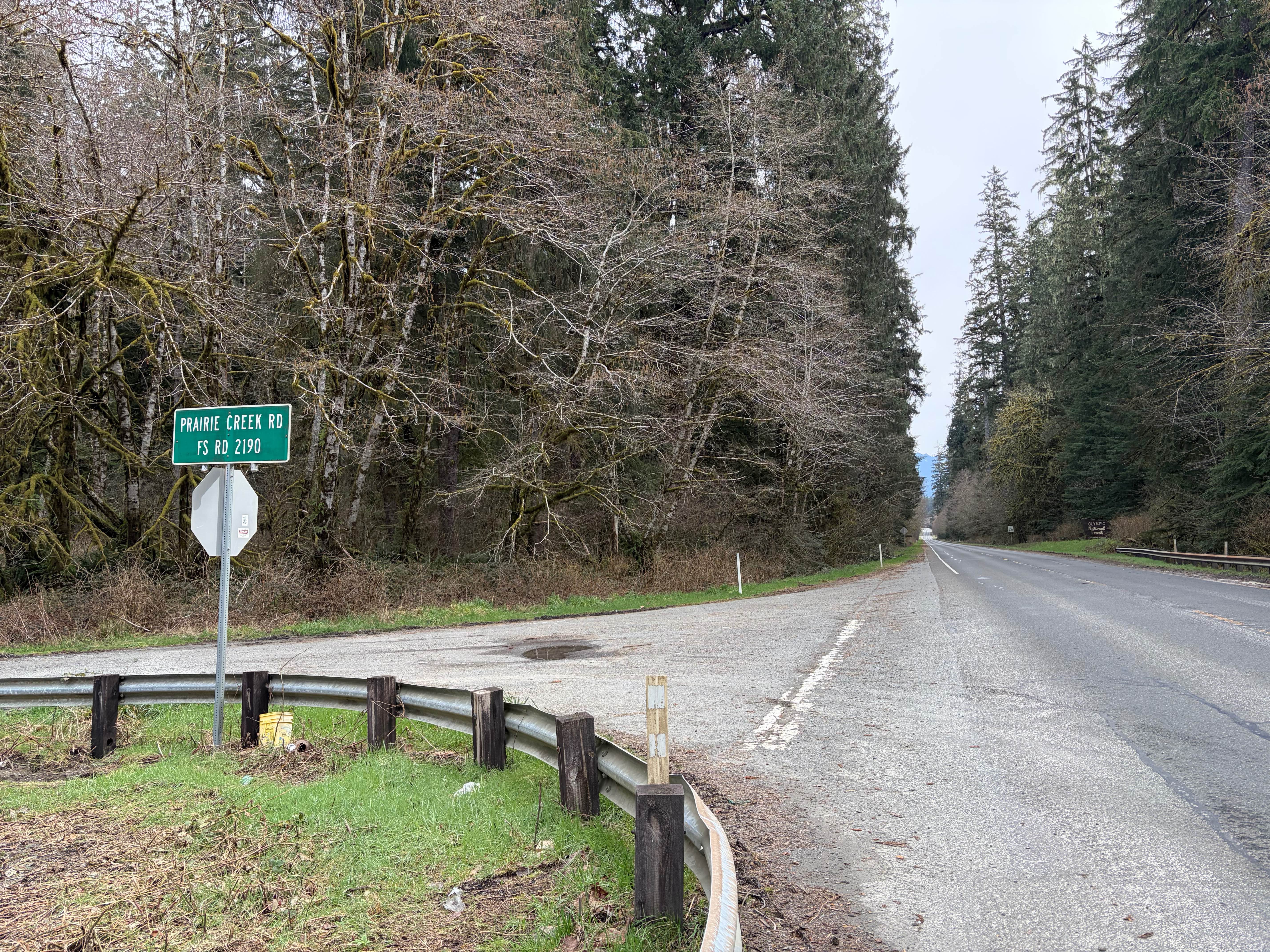
Prairie Creek - FS 2190
Total Miles
8.1
Tech Rating
Easy
Best Time
Spring, Summer, Fall
Learn more about Prairie Mountain - FS 2140
Prairie Mountain - FS 2140
Total Miles
2.2
Tech Rating
Easy
Best Time
Spring, Summer, Fall, Winter
Learn more about Pumphouse Valley
Pumphouse Valley
Total Miles
7.7
Tech Rating
Moderate
Best Time
Spring, Summer, Fall
Learn more about Quarry Lake Viewpoint Road
Quarry Lake Viewpoint Road
Total Miles
1.6
Tech Rating
Easy
Best Time
Spring, Summer, Fall
Learn more about Quartz Creek Road
Quartz Creek Road
Total Miles
6.3
Tech Rating
Easy
Best Time
Spring, Summer, Fall
Learn more about Quartz Meadows
Quartz Meadows
Total Miles
2.2
Tech Rating
Easy
Best Time
Summer, Spring, Fall
Learn more about Quilomene Ridge Road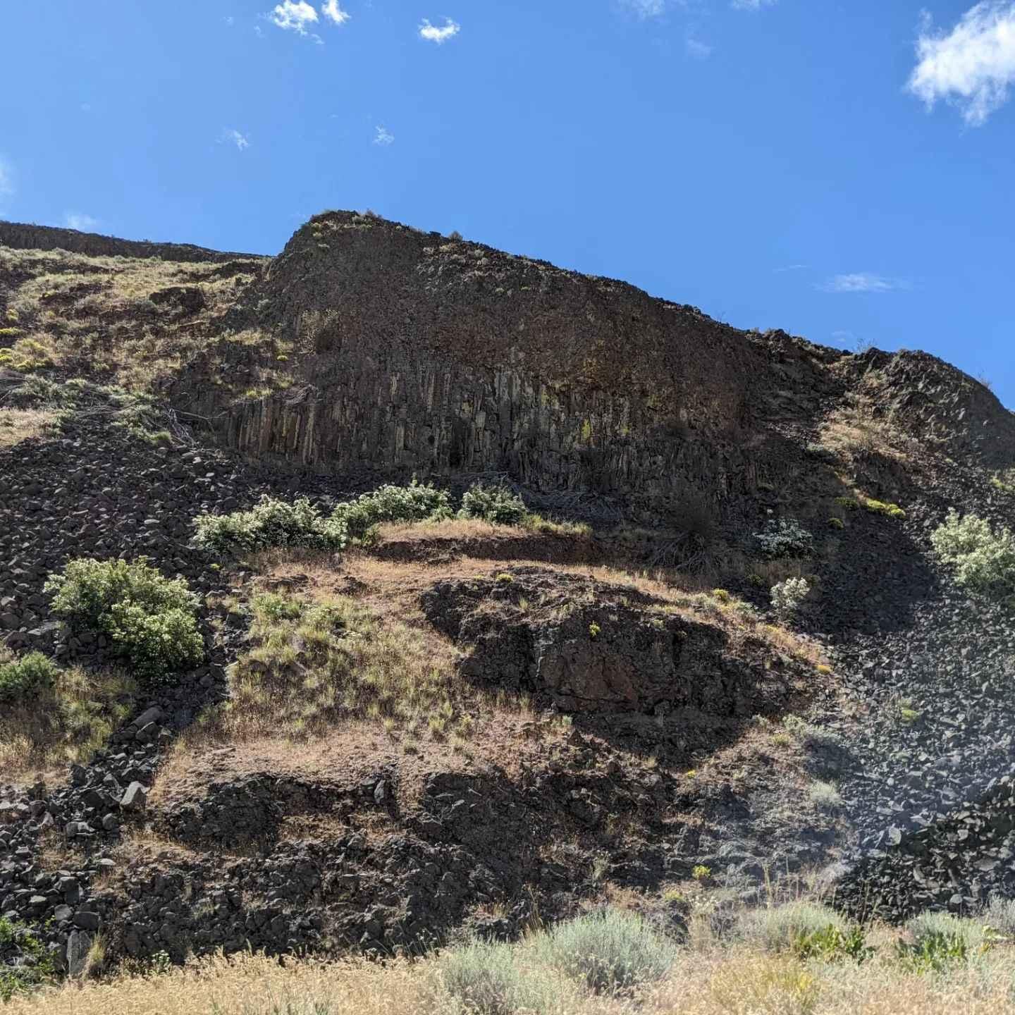
Quilomene Ridge Road
Total Miles
29.2
Tech Rating
Easy
Best Time
Summer
Learn more about Quilomene Ridge Road Part 2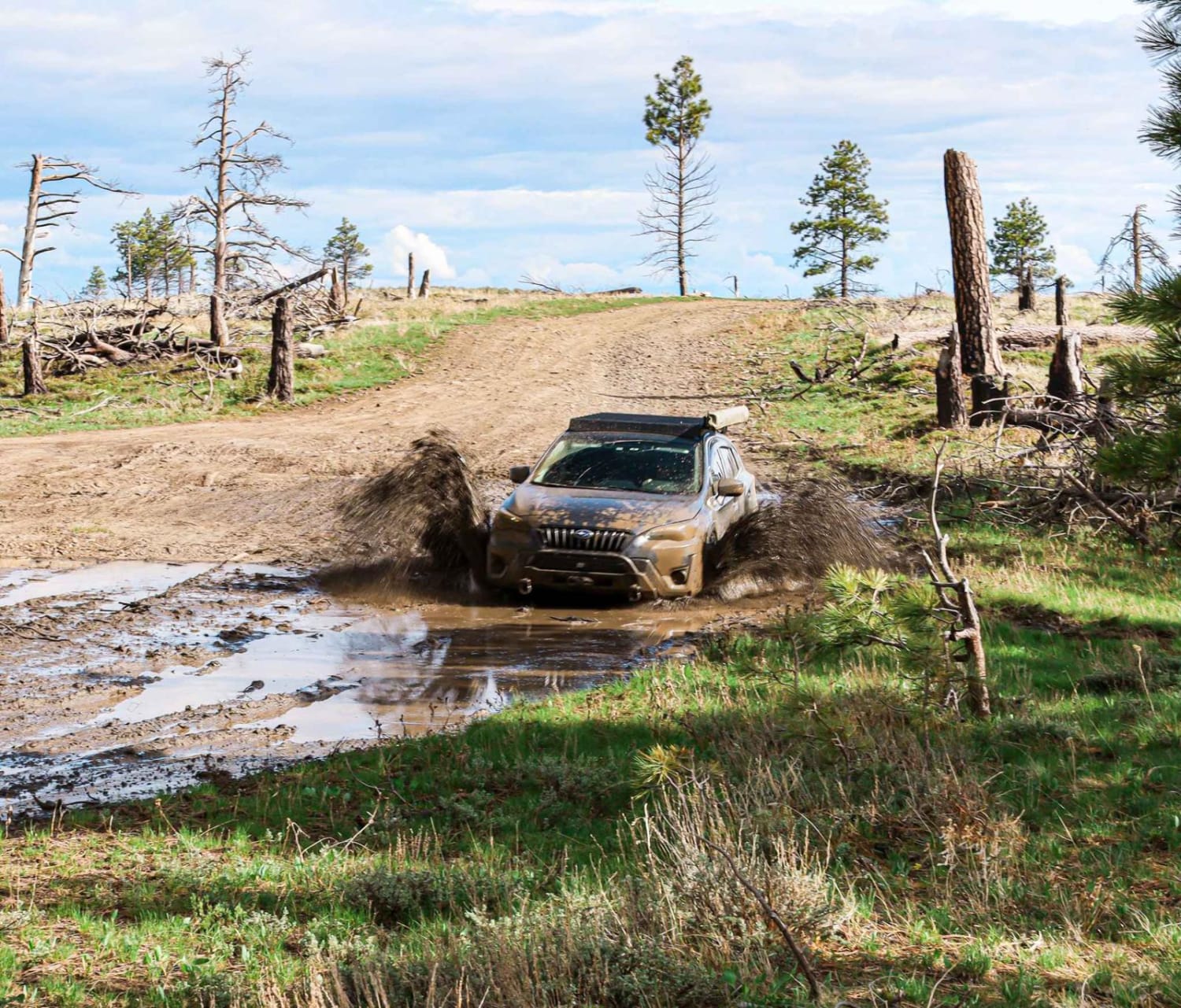
Quilomene Ridge Road Part 2
Total Miles
11.9
Tech Rating
Easy
Best Time
Spring, Summer, Fall
Learn more about Radar Dome Scenic Route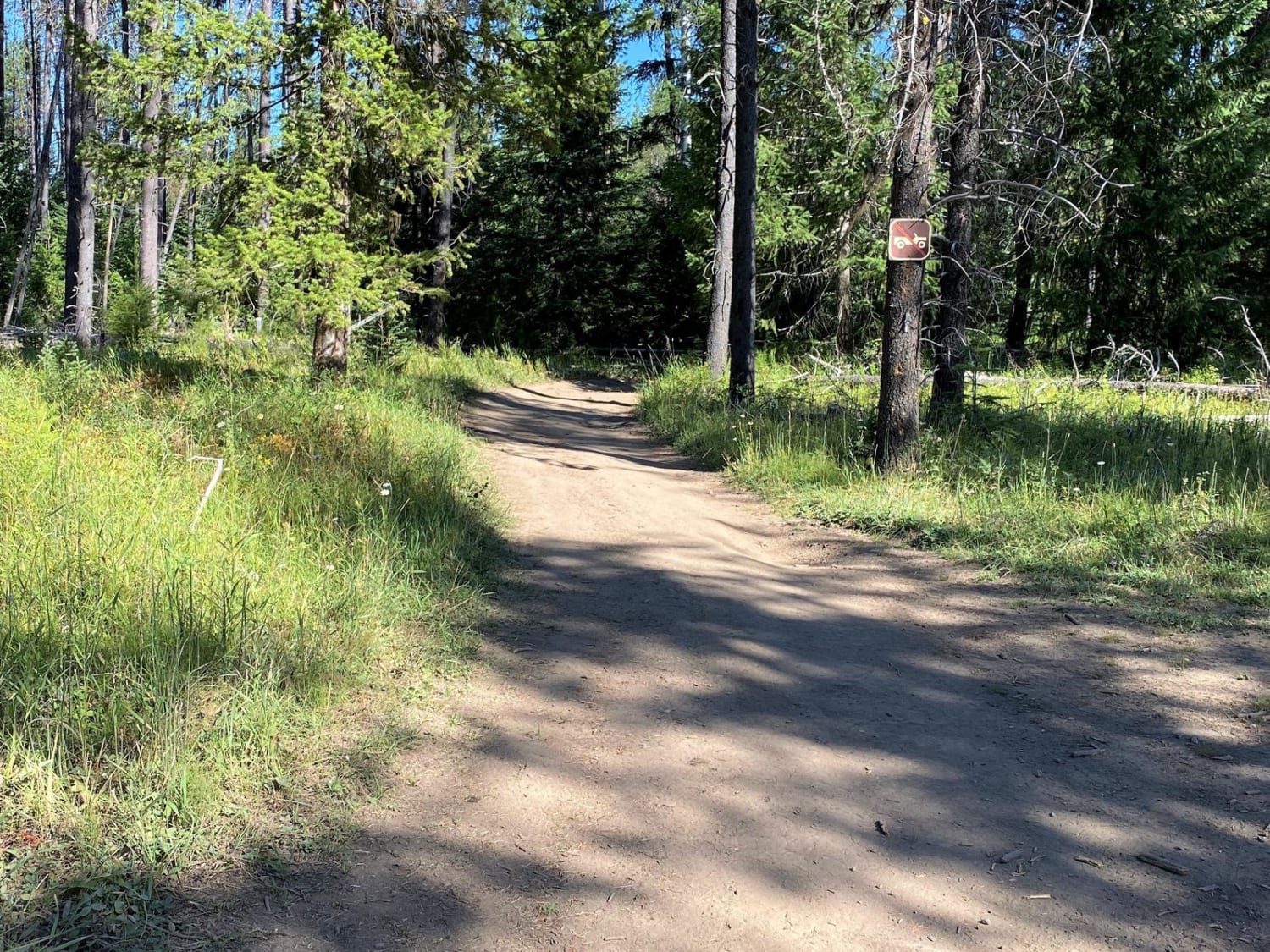
Radar Dome Scenic Route
Total Miles
12.4
Tech Rating
Easy
Best Time
Summer, Fall
Learn more about Radar Mainline 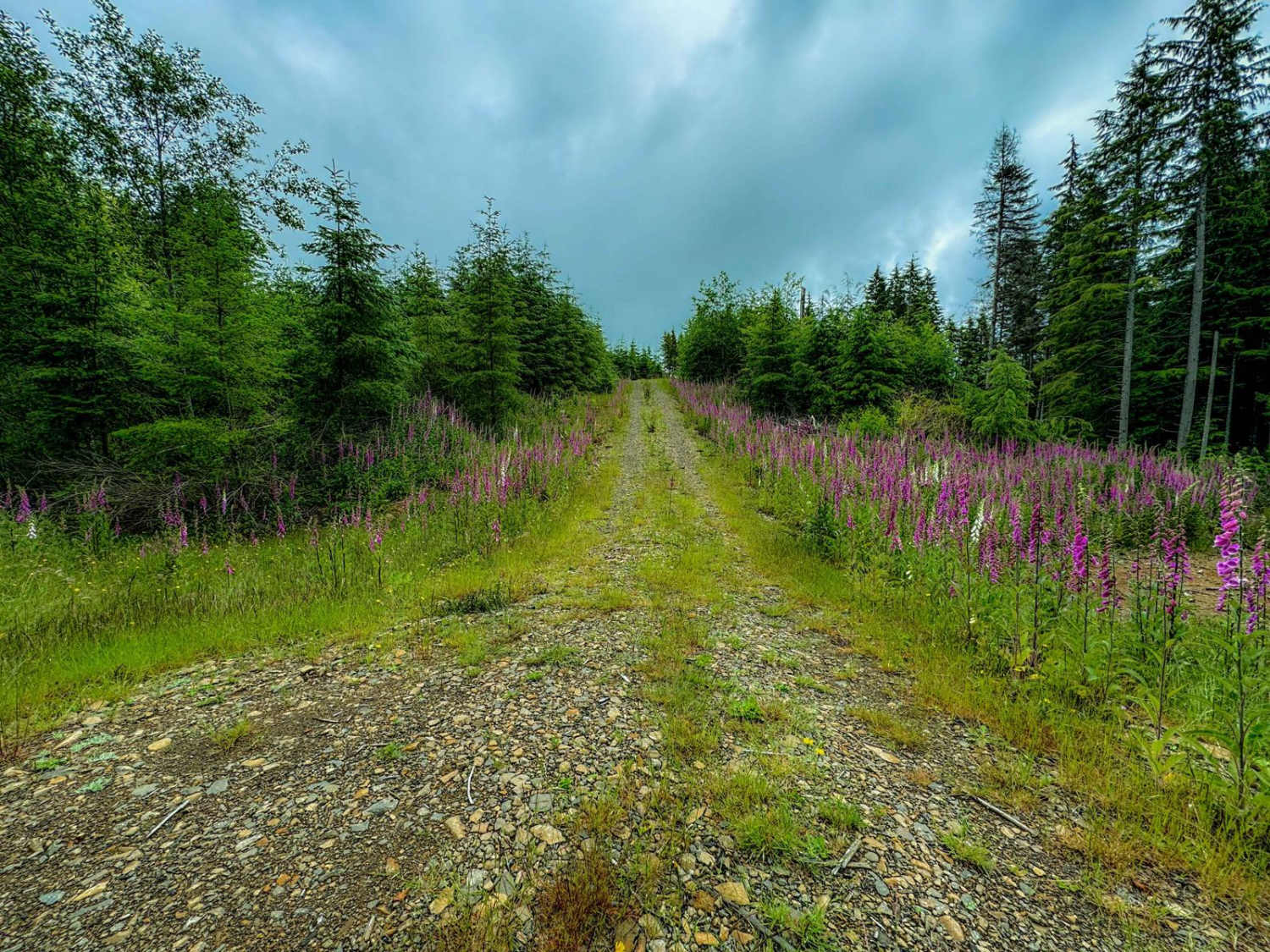
Radar Mainline
Total Miles
7.7
Tech Rating
Easy
Best Time
Spring, Summer, Fall
Learn more about Radio Tower - FS 9500-585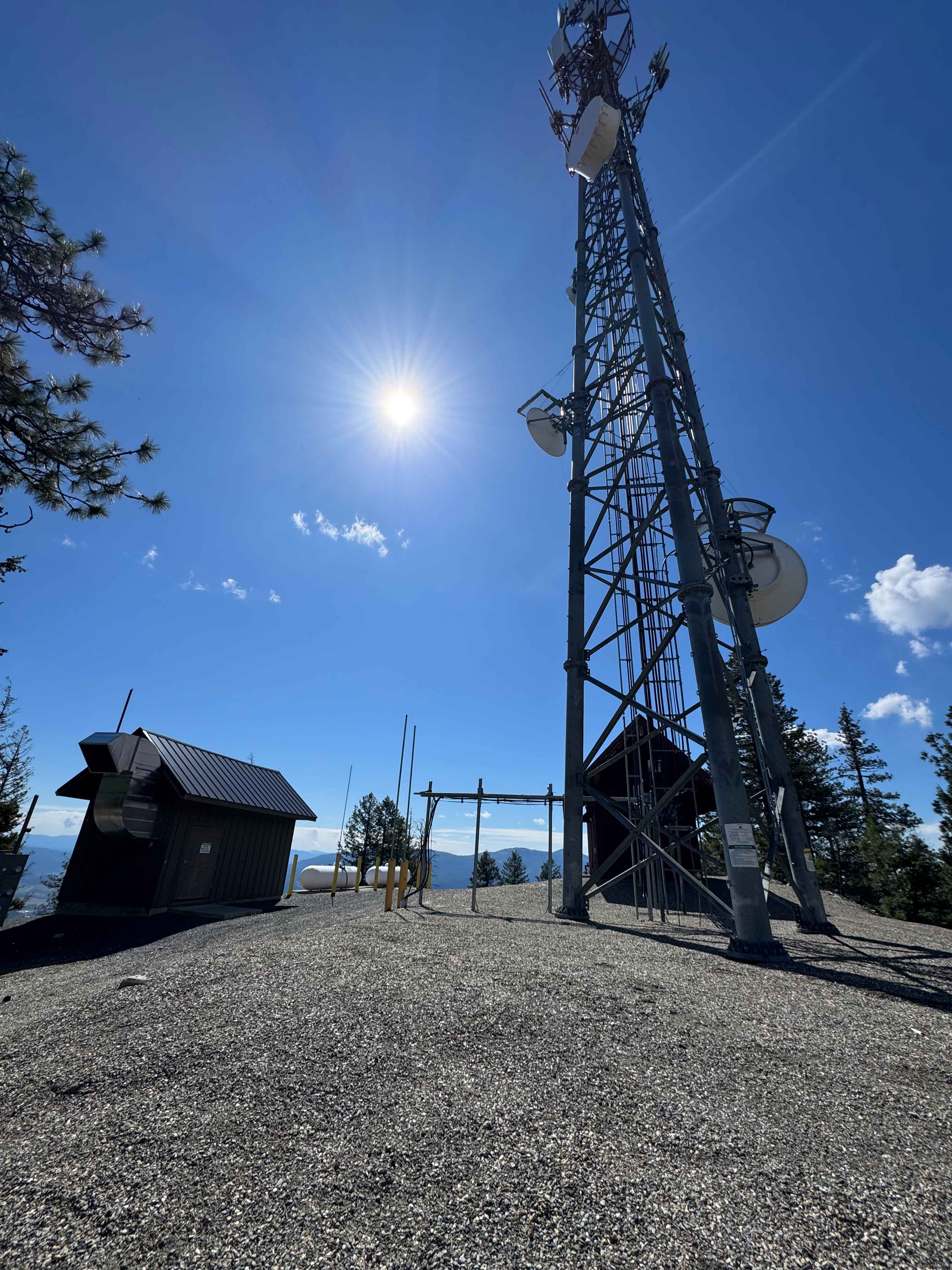
Radio Tower - FS 9500-585
Total Miles
4.0
Tech Rating
Easy
Best Time
Spring, Summer, Fall
Learn more about Rainy Creek Trail
Rainy Creek Trail
Total Miles
13.1
Tech Rating
Easy
Best Time
Spring, Summer, Fall
Learn more about Range Grade Road
Range Grade Road
Total Miles
1.4
Tech Rating
Easy
Best Time
Summer, Spring, Fall
ATV trails in Washington


Learn more about 4104504 - Deep Woods Adventure
4104504 - Deep Woods Adventure
Total Miles
5.8
Tech Rating
Moderate
Best Time
Spring, Summer, Fall
UTV/side-by-side trails in Washington
Learn more about 4104504 - Deep Woods Adventure
4104504 - Deep Woods Adventure
Total Miles
5.8
Tech Rating
Moderate
Best Time
Spring, Summer, Fall
The onX Offroad Difference
onX Offroad combines trail photos, descriptions, difficulty ratings, width restrictions, seasonality, and more in a user-friendly interface. Available on all devices, with offline access and full compatibility with CarPlay and Android Auto. Discover what you’re missing today!