Off-Road Trails in Washington
Discover off-road trails in Washington
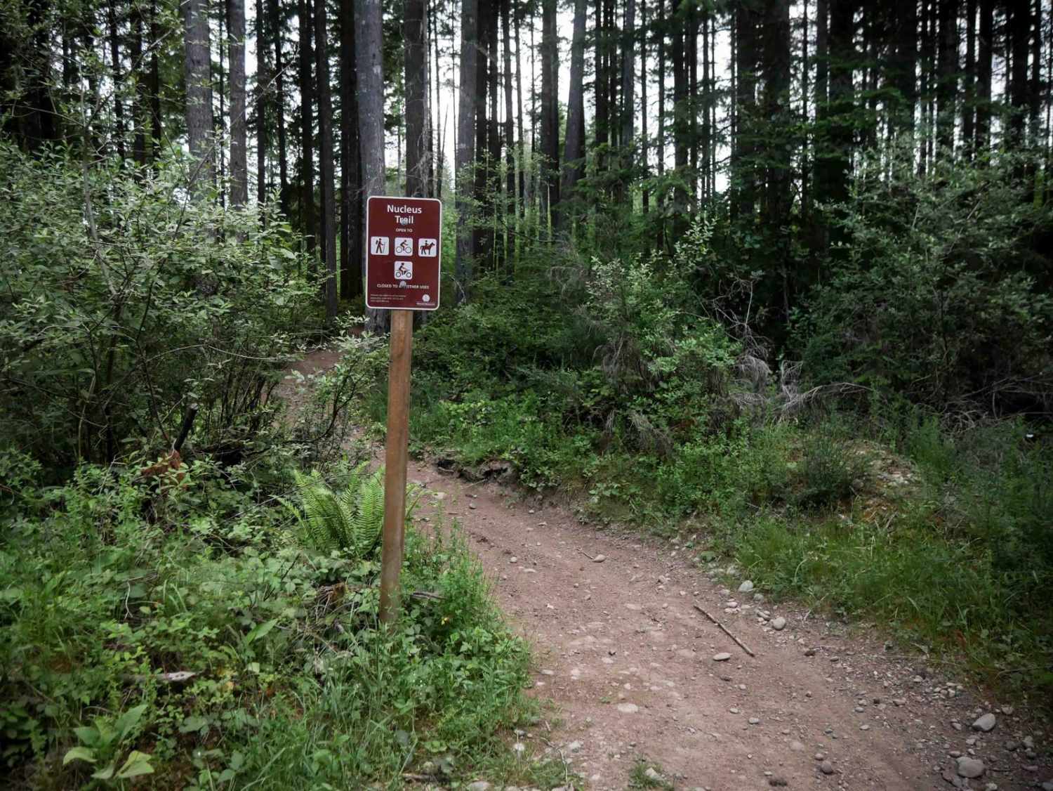
Learn more about North Fork Stilly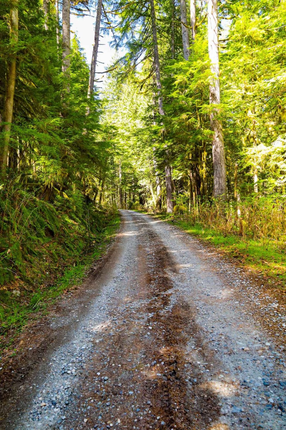
North Fork Stilly
Total Miles
2.4
Tech Rating
Easy
Best Time
Spring, Summer, Fall
Learn more about North Fork Stilly Road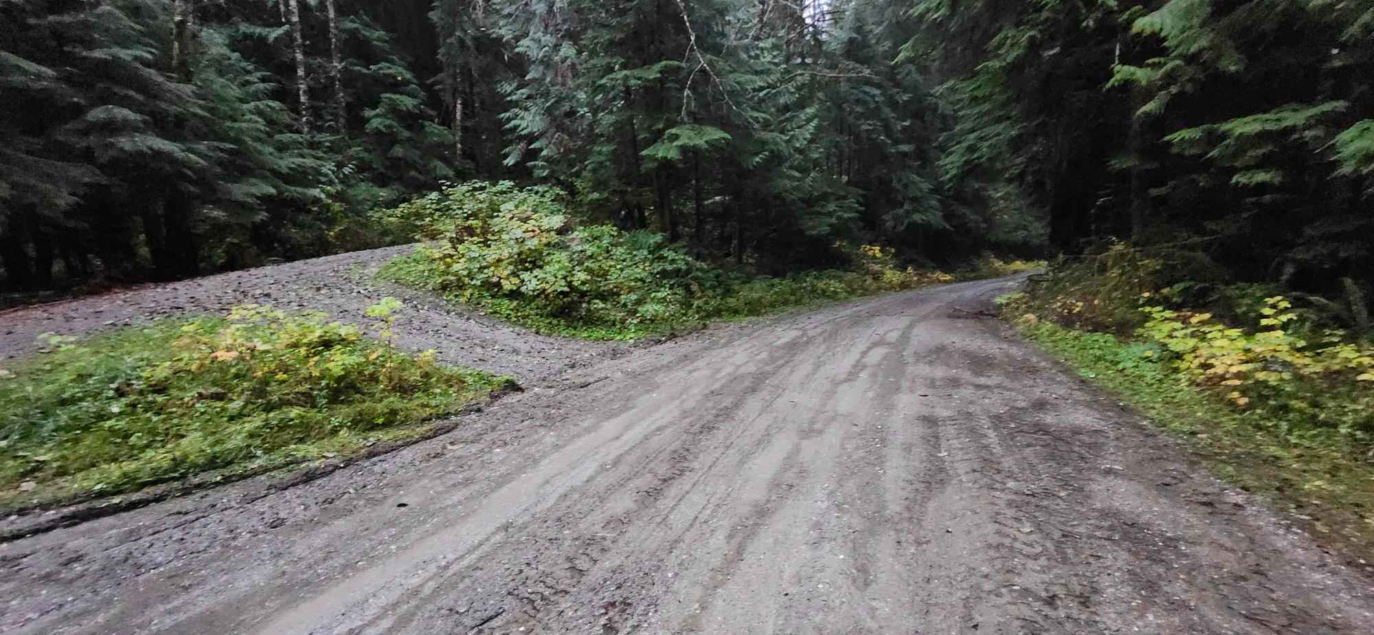
North Fork Stilly Road
Total Miles
7.8
Tech Rating
Easy
Best Time
Spring, Fall, Summer
Learn more about North Fork Tilton Road - FS 7300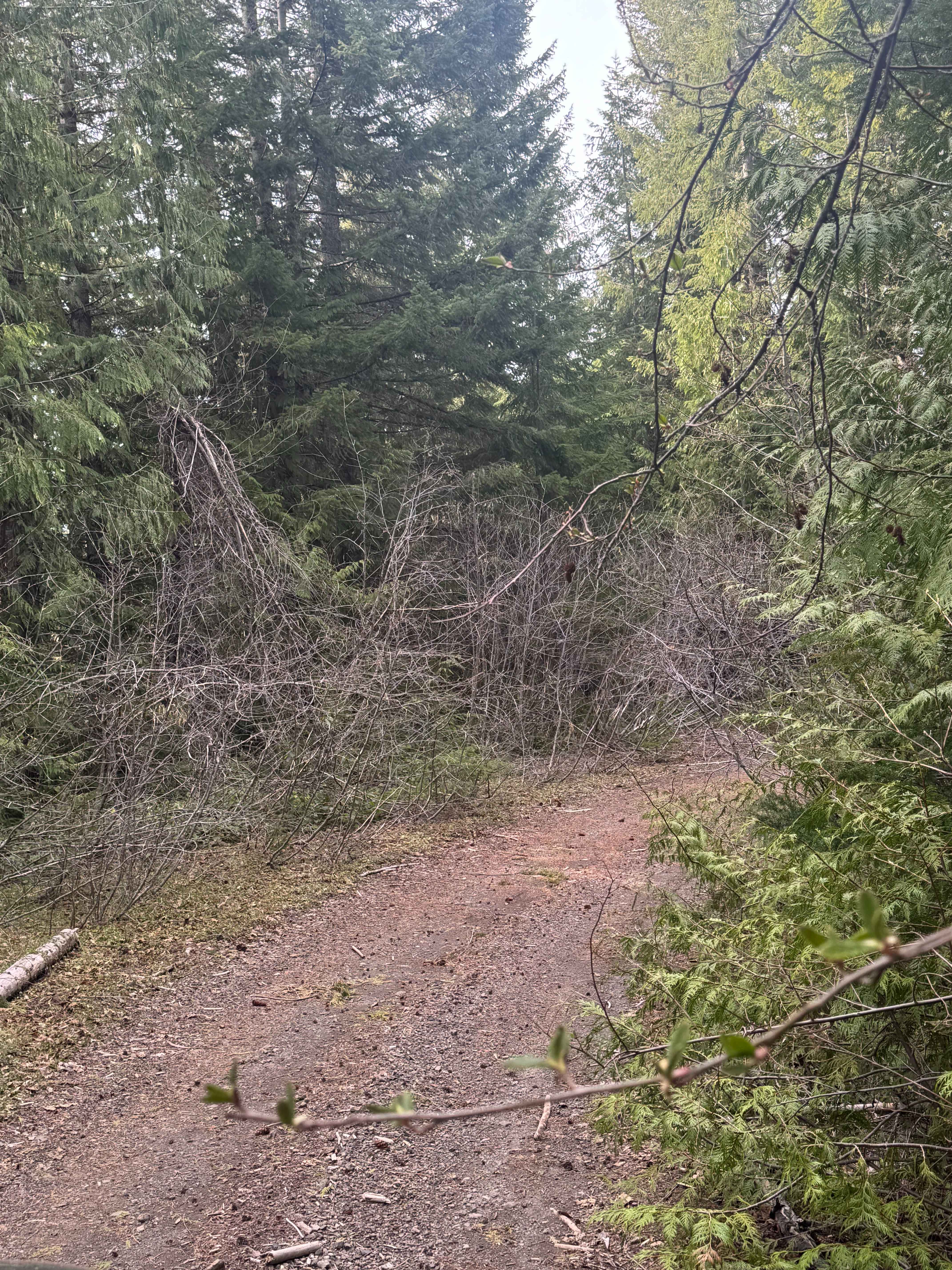
North Fork Tilton Road - FS 7300
Total Miles
1.1
Tech Rating
Easy
Best Time
Spring, Summer, Fall
Learn more about North Mountain Trail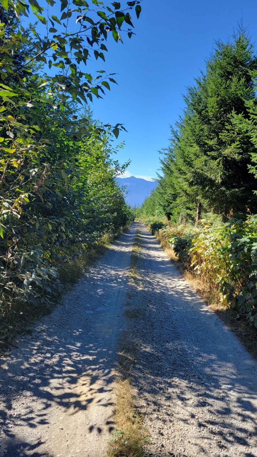
North Mountain Trail
Total Miles
10.0
Tech Rating
Easy
Best Time
Spring, Summer, Fall

Learn more about North Rim Trail #1
North Rim Trail #1
Total Miles
2.7
Tech Rating
Easy
Best Time
Spring, Summer, Fall
Learn more about North Rim Trail #3
North Rim Trail #3
Total Miles
8.5
Tech Rating
Moderate
Best Time
Spring, Summer, Fall
Learn more about North Side Dan's Creek - FS 2130
North Side Dan's Creek - FS 2130
Total Miles
1.6
Tech Rating
Easy
Best Time
Spring, Summer, Fall, Winter
Learn more about North Spur Road
North Spur Road
Total Miles
1.7
Tech Rating
Easy
Best Time
Spring, Summer, Fall
Learn more about North to South Trail
North to South Trail
Total Miles
1.1
Tech Rating
Easy
Best Time
Spring, Summer, Fall
Learn more about Northern Toats Coulee Road
Northern Toats Coulee Road
Total Miles
4.2
Tech Rating
Easy
Best Time
Fall, Summer
Learn more about Northwest Passage
Northwest Passage
Total Miles
2.3
Tech Rating
Easy
Best Time
Spring, Fall
Learn more about Oak Creek - NF 1400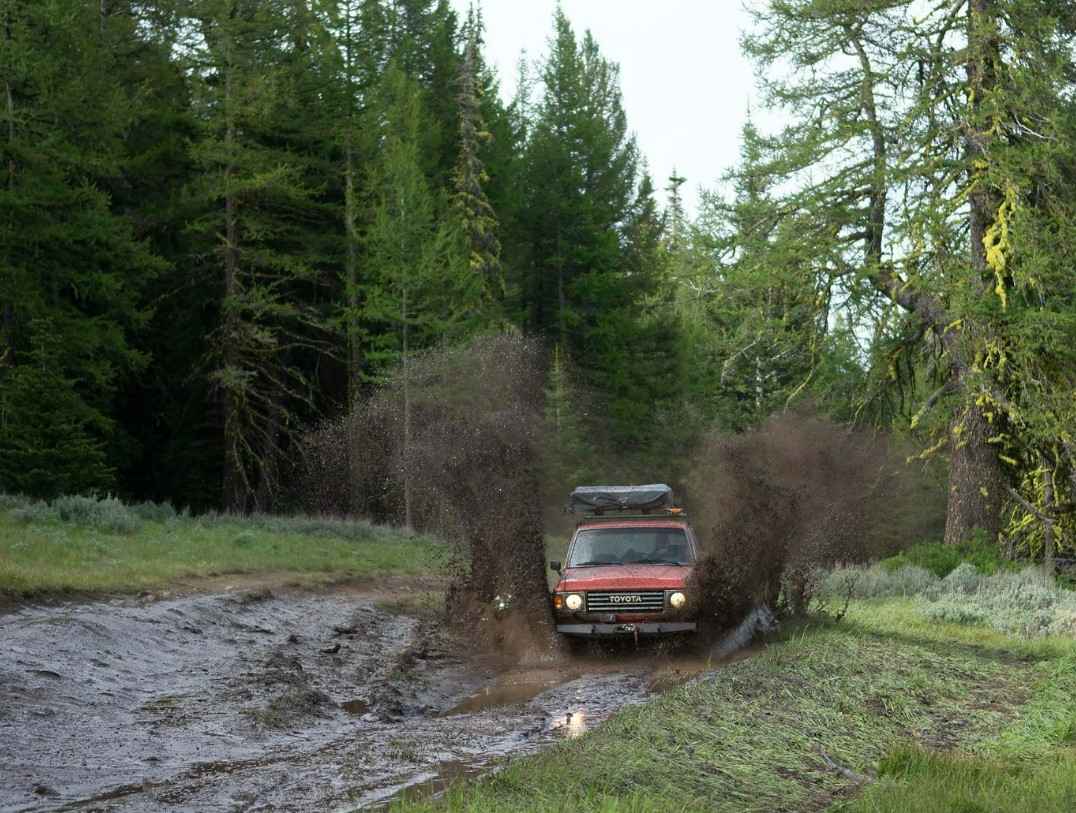
Oak Creek - NF 1400
Total Miles
3.9
Tech Rating
Easy
Best Time
Summer, Fall
Learn more about Oak Creek FR 1400 to Bear Lake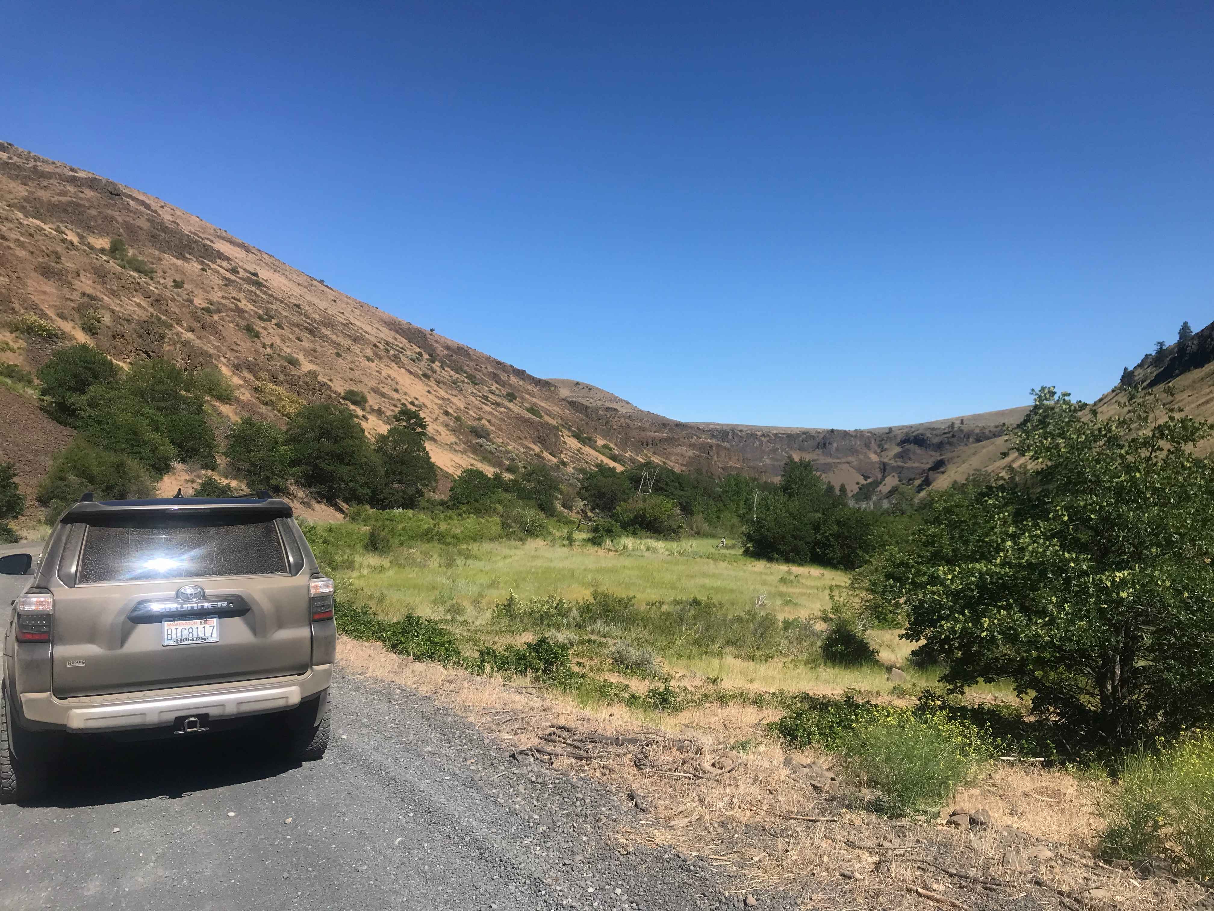
Oak Creek FR 1400 to Bear Lake
Total Miles
11.9
Tech Rating
Easy
Best Time
Spring, Summer, Fall
Learn more about Ocean Coast Overlook Trail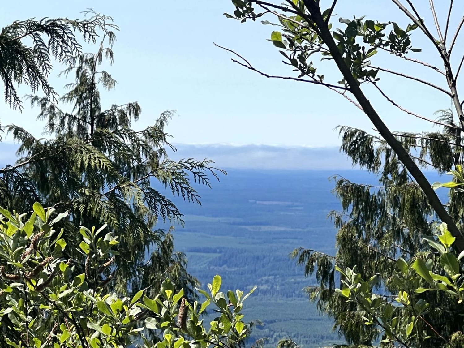
Ocean Coast Overlook Trail
Total Miles
13.2
Tech Rating
Easy
Best Time
Spring, Summer, Fall
Learn more about Oil City Road
Oil City Road
Total Miles
5.4
Tech Rating
Easy
Best Time
Spring, Summer, Fall
Learn more about Old Durr Road
Old Durr Road
Total Miles
11.4
Tech Rating
Moderate
Best Time
Spring, Summer, Fall
Learn more about Old Sherman Highway
Old Sherman Highway
Total Miles
2.3
Tech Rating
Easy
Best Time
Spring, Summer, Fall
ATV trails in Washington


Learn more about 4104504 - Deep Woods Adventure
4104504 - Deep Woods Adventure
Total Miles
5.8
Tech Rating
Moderate
Best Time
Spring, Summer, Fall
UTV/side-by-side trails in Washington
Learn more about 4104504 - Deep Woods Adventure
4104504 - Deep Woods Adventure
Total Miles
5.8
Tech Rating
Moderate
Best Time
Spring, Summer, Fall
The onX Offroad Difference
onX Offroad combines trail photos, descriptions, difficulty ratings, width restrictions, seasonality, and more in a user-friendly interface. Available on all devices, with offline access and full compatibility with CarPlay and Android Auto. Discover what you’re missing today!