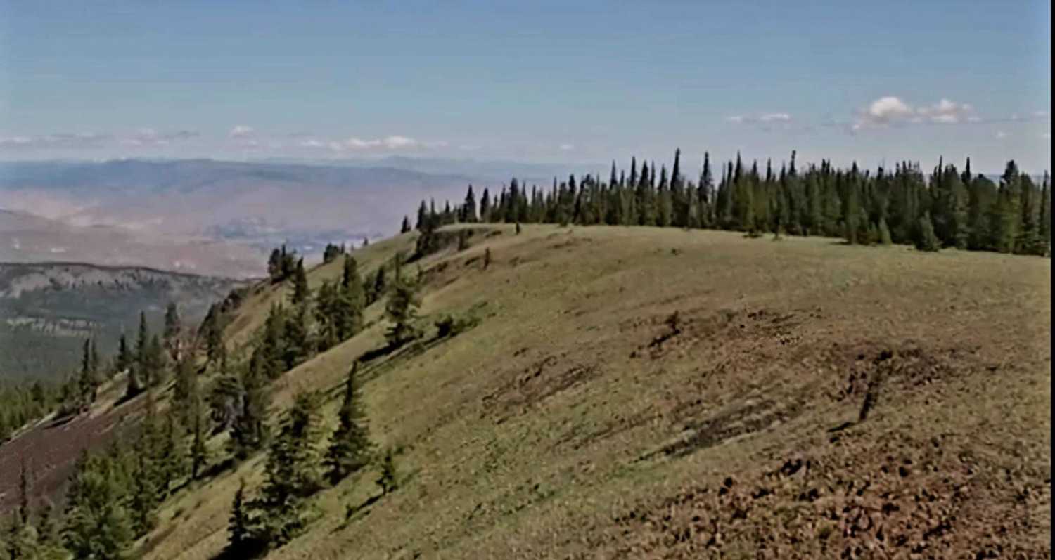
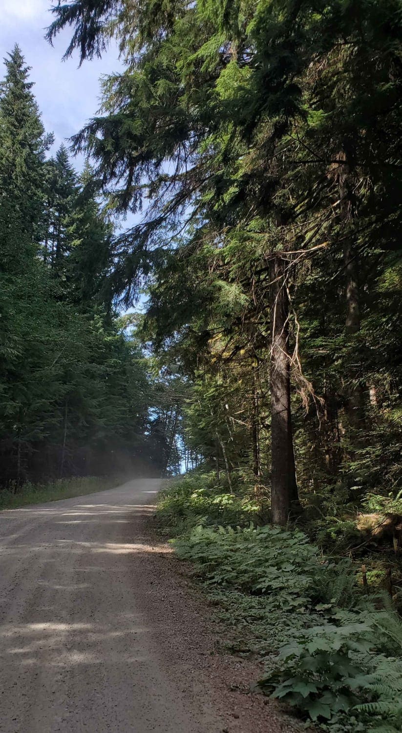
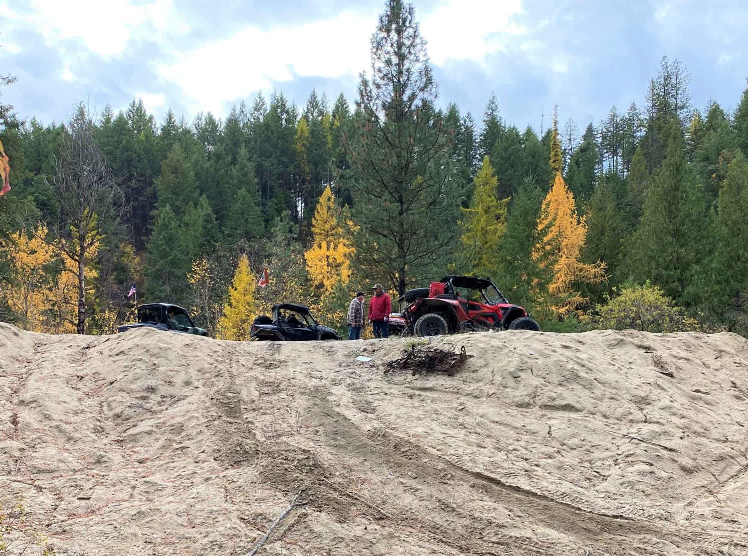
Off-Road Trails in Washington
Discover off-road trails in Washington
Learn more about Mission Creek Staging
Mission Creek Staging
Total Miles
1.6
Tech Rating
Easy
Best Time
Spring, Fall

Learn more about Moonlight Canyon
Moonlight Canyon
Total Miles
3.3
Tech Rating
Easy
Best Time
Spring, Summer, Fall
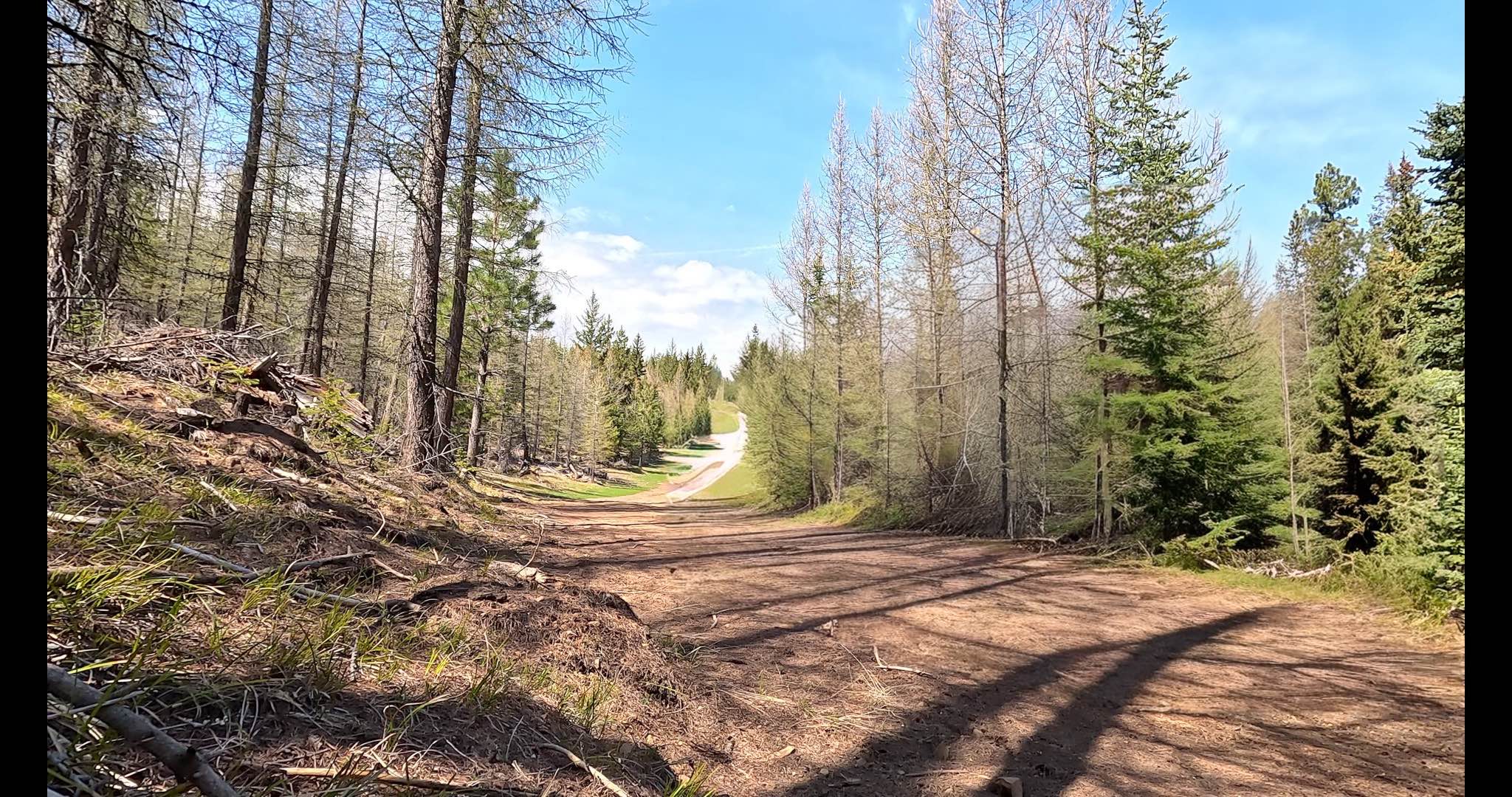
Learn more about Morris Canyon - NF 629
Morris Canyon - NF 629
Total Miles
3.8
Tech Rating
Easy
Best Time
Spring, Summer, Fall
Learn more about Mountain Home Ranch Road
Mountain Home Ranch Road
Total Miles
9.0
Tech Rating
Easy
Best Time
Spring, Summer, Fall
Learn more about MT Baker National Forest (1200000-1300000)
MT Baker National Forest (1200000-1300000)
Total Miles
7.6
Tech Rating
Easy
Best Time
Spring, Summer
Learn more about MT Baker Natl Forest 
MT Baker Natl Forest
Total Miles
3.0
Tech Rating
Easy
Best Time
Spring, Summer
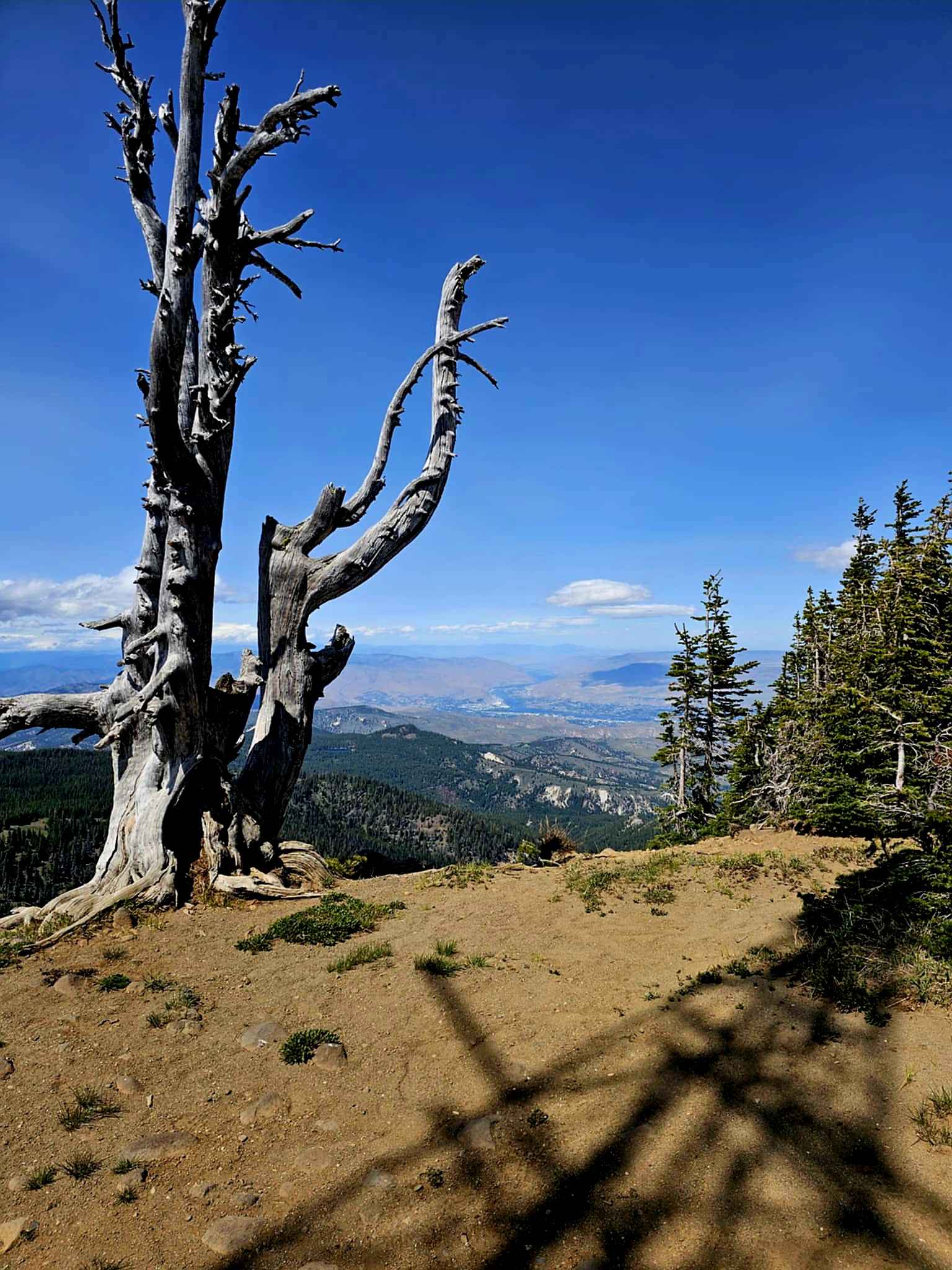
Learn more about Mt. Misery Warming Cabin
Mt. Misery Warming Cabin
Total Miles
0.7
Tech Rating
Easy
Best Time
Spring, Summer, Fall, Winter
Learn more about Muddled Meanderings 
Muddled Meanderings
Total Miles
0.9
Tech Rating
Easy
Best Time
Spring, Summer, Fall, Winter

Learn more about Naches 4X4 Trail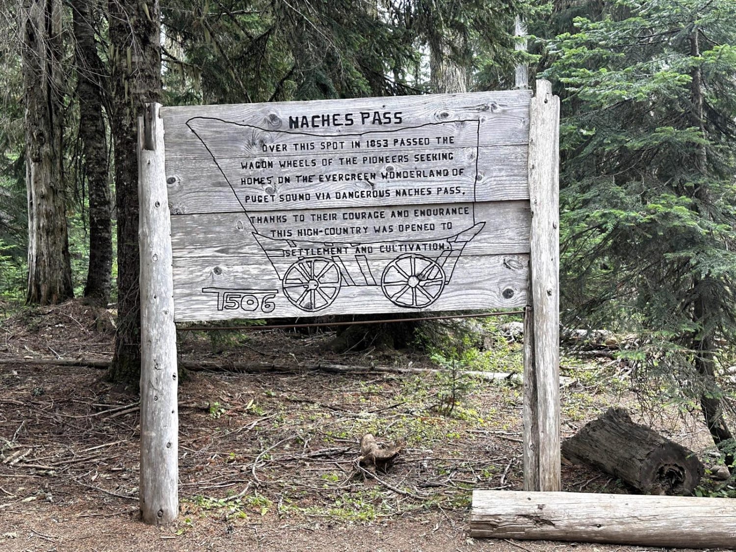
Naches 4X4 Trail
Total Miles
12.7
Tech Rating
Moderate
Best Time
Summer, Fall
Learn more about Nancy Creek Road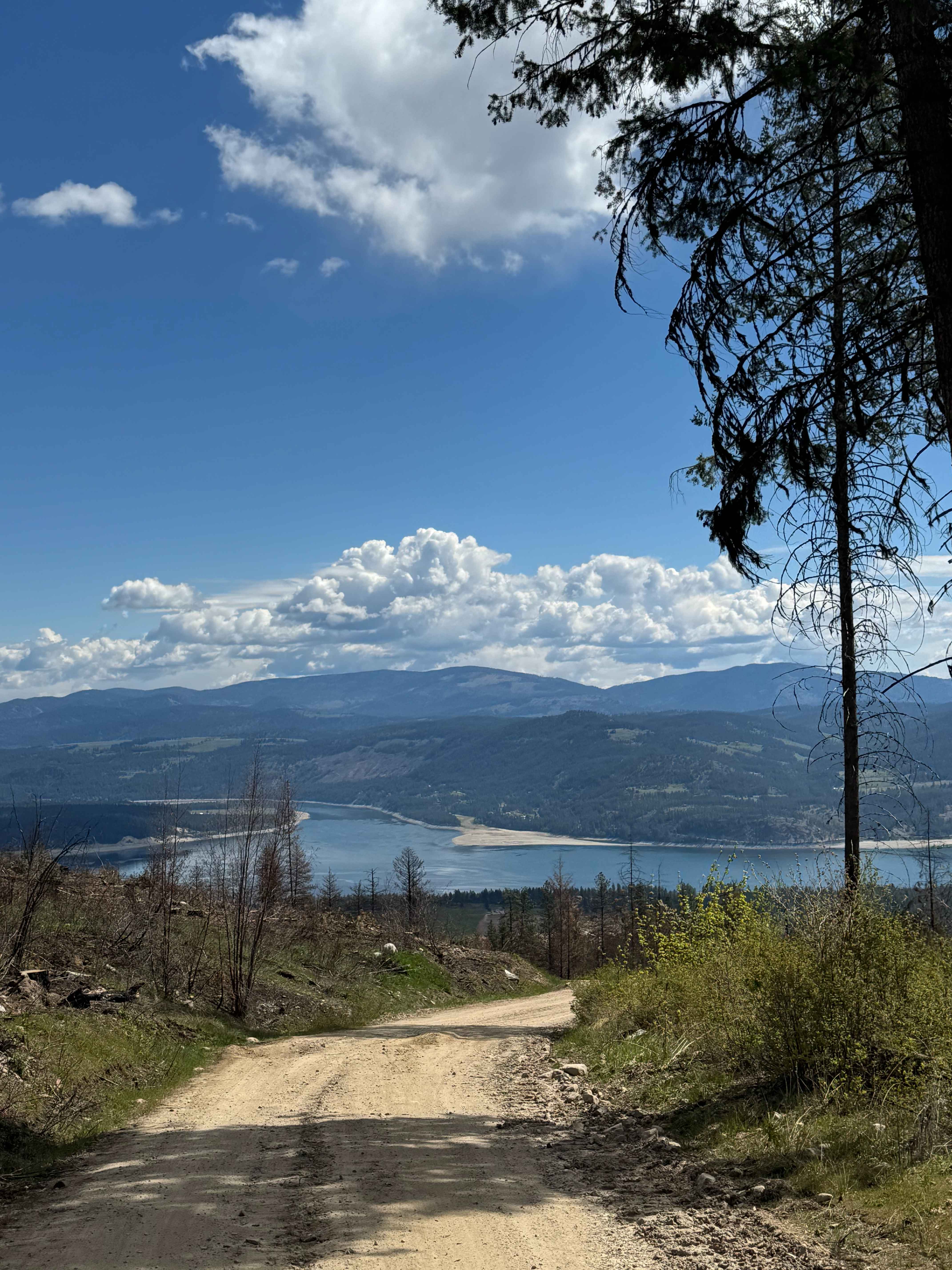
Nancy Creek Road
Total Miles
7.0
Tech Rating
Easy
Best Time
Spring, Summer, Fall
Learn more about Naneum Ridge State Forest Day Trip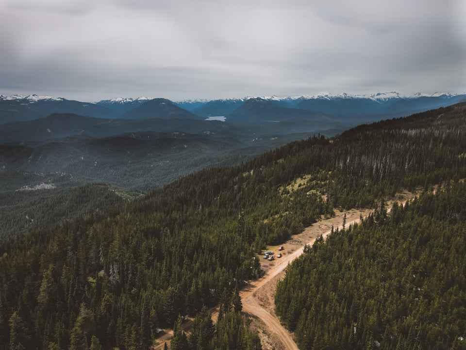
Naneum Ridge State Forest Day Trip
Total Miles
37.3
Tech Rating
Easy
Best Time
Spring, Summer
Learn more about National Forest Development Road 310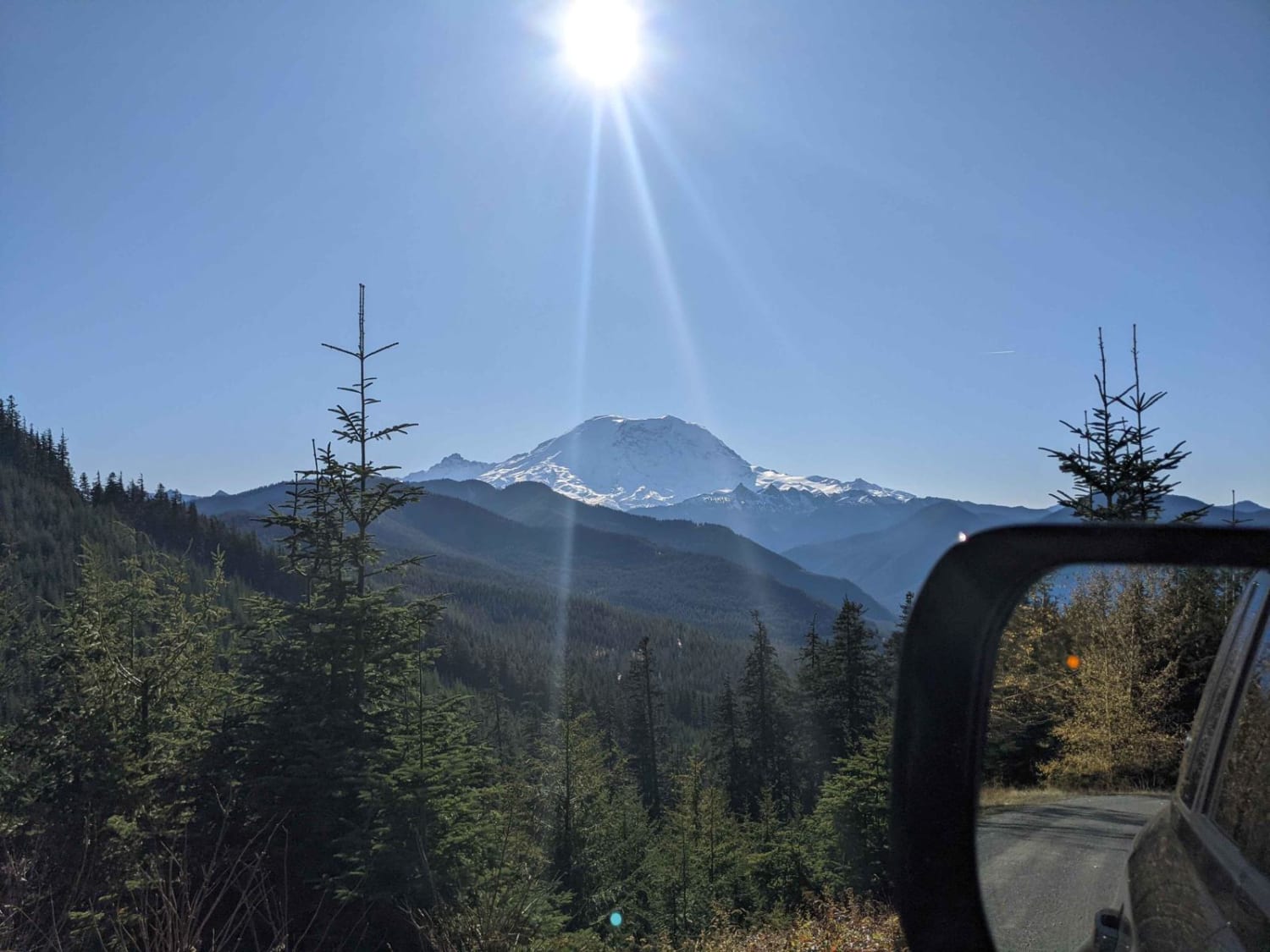
National Forest Development Road 310
Total Miles
0.5
Tech Rating
Easy
Best Time
Summer, Fall
ATV trails in Washington


Learn more about 4104504 - Deep Woods Adventure
4104504 - Deep Woods Adventure
Total Miles
5.8
Tech Rating
Moderate
Best Time
Spring, Summer, Fall
UTV/side-by-side trails in Washington
Learn more about 4104504 - Deep Woods Adventure
4104504 - Deep Woods Adventure
Total Miles
5.8
Tech Rating
Moderate
Best Time
Spring, Summer, Fall
The onX Offroad Difference
onX Offroad combines trail photos, descriptions, difficulty ratings, width restrictions, seasonality, and more in a user-friendly interface. Available on all devices, with offline access and full compatibility with CarPlay and Android Auto. Discover what you’re missing today!