National Forest Development Road 310
Total Miles
0.5
Technical Rating
Best Time
Summer, Fall
Trail Type
High-Clearance 4x4 Trail
Accessible By
Trail Overview
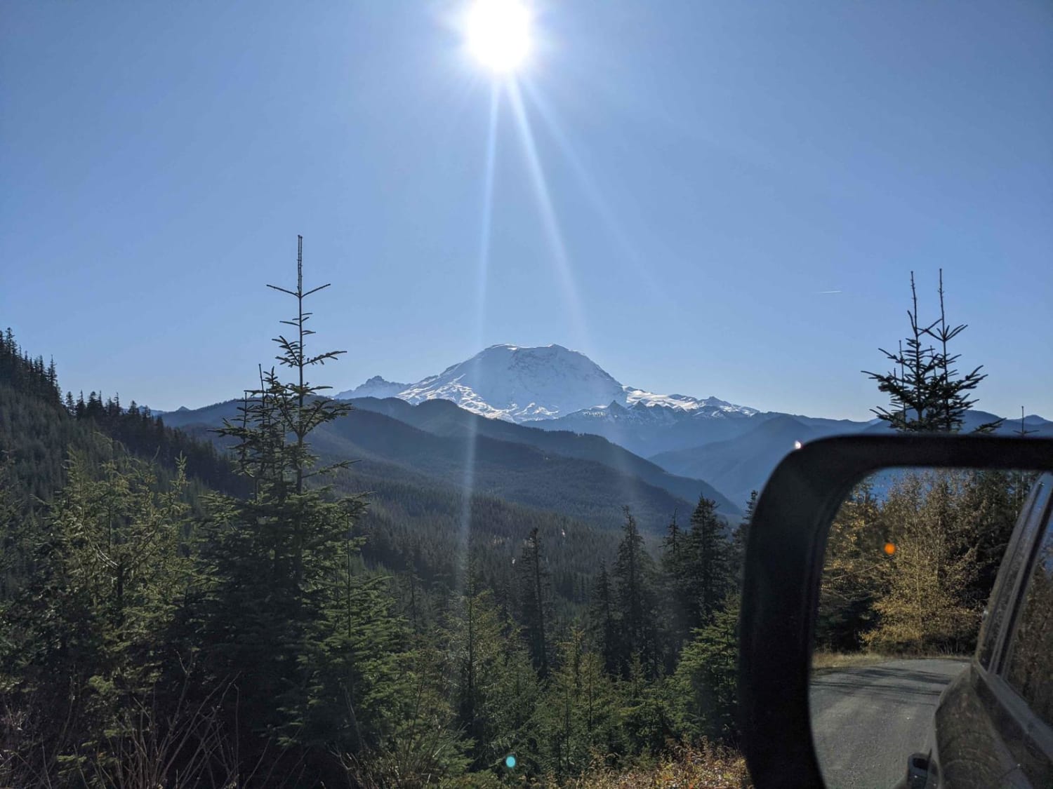
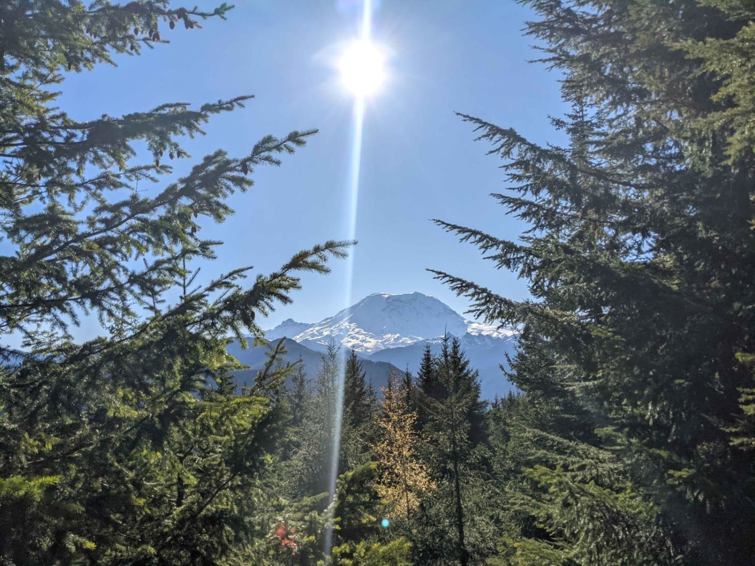
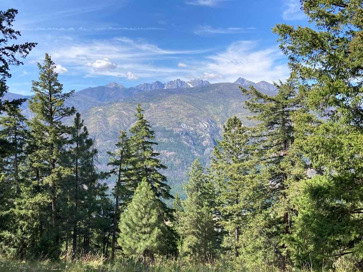
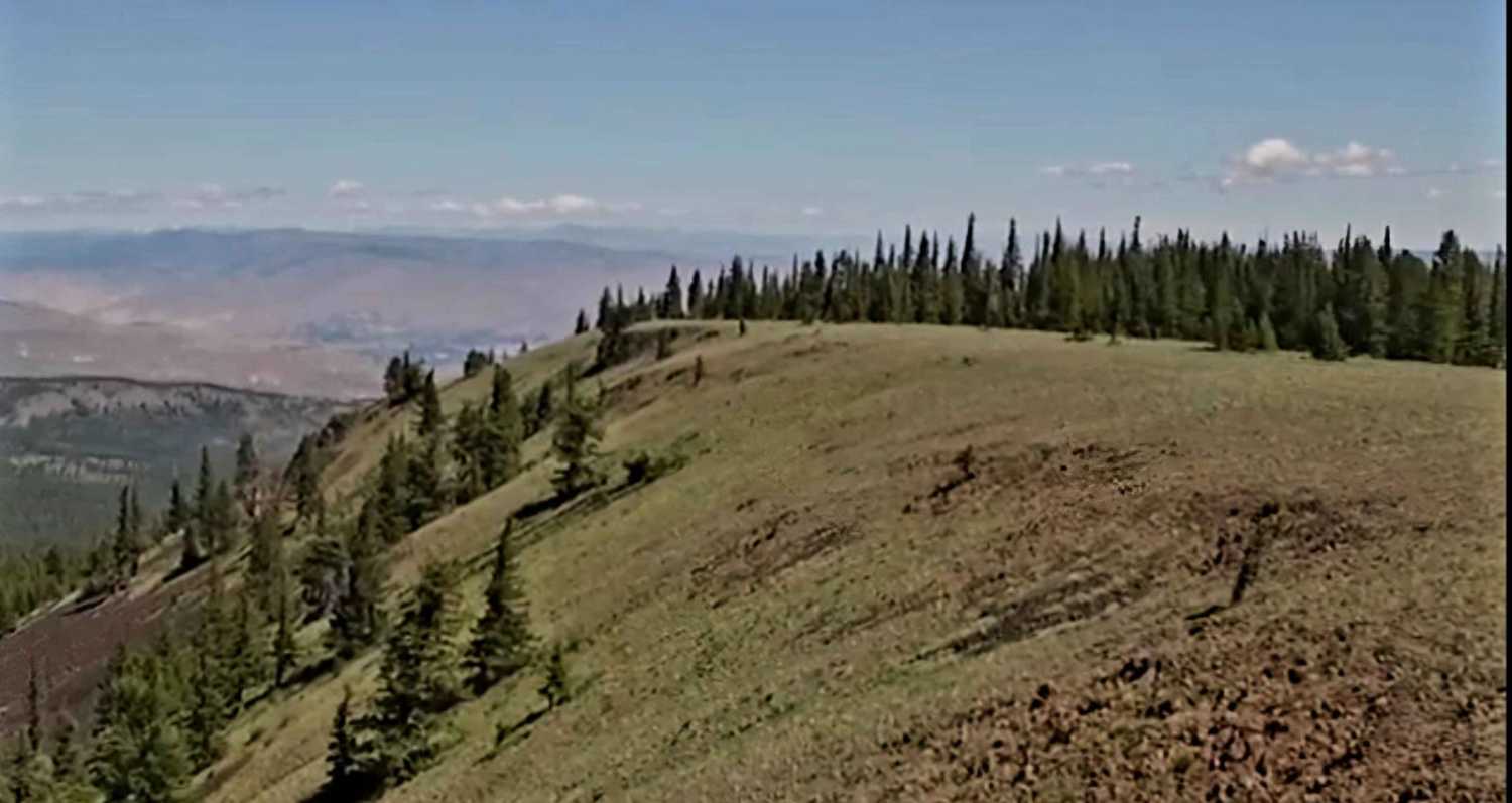
Short and easy out and back track that leads to an epic open area campsite that would fit 2-3 vehicles. Enjoy stellar views of Mt. Rainier with the benefit of good windbreak trees surrounding the site. There is a well-used stone fire ring if you manage to visit when there is not a burn ban.
Photos of National Forest Development Road 310
Difficulty
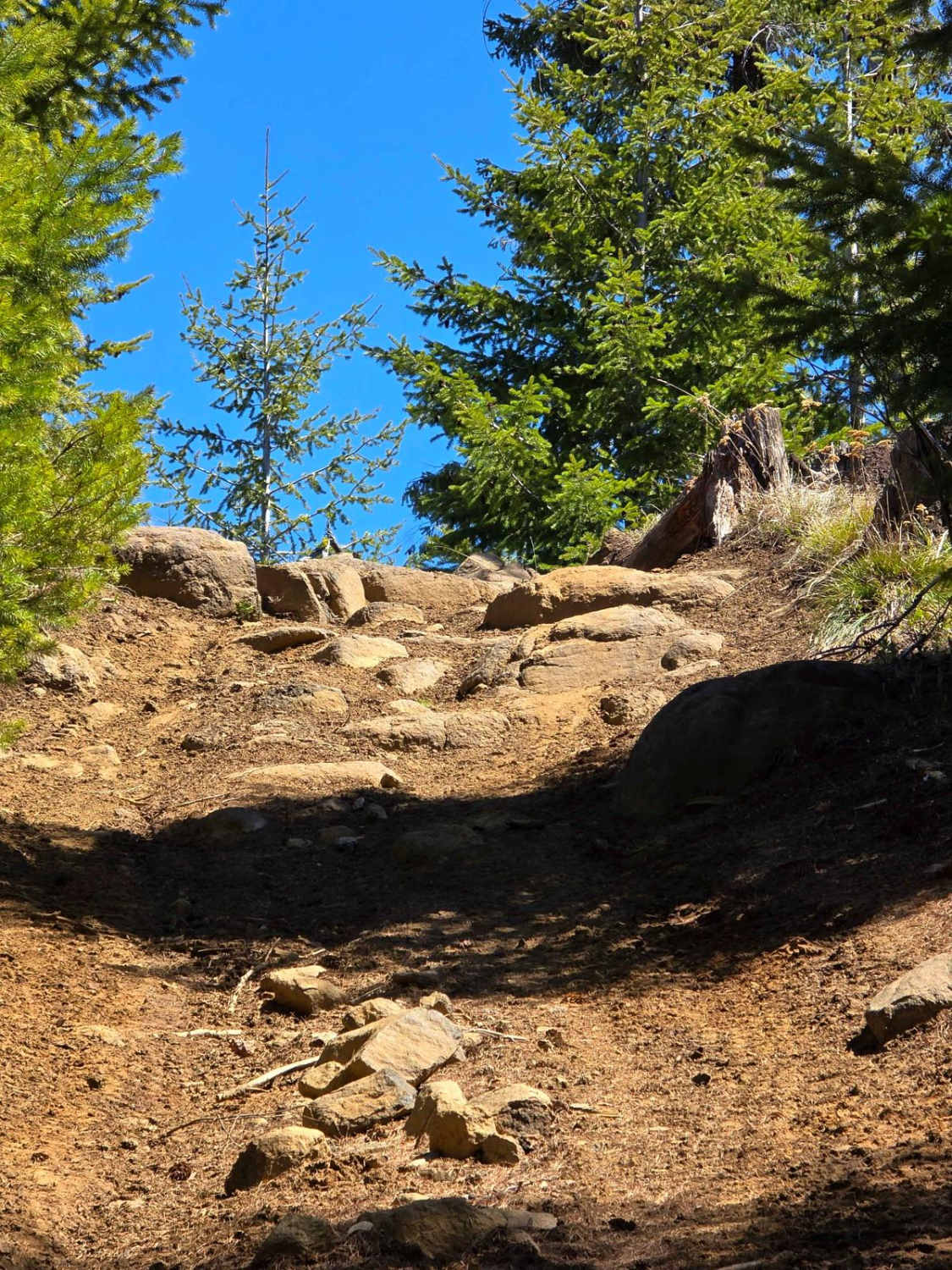
Conditions fully depend on the season/weather but expect to encounter deep ruts, mud and mucky water if you are close to rain/snowmelt. Only room for one vehicle, you will get some trail rash from brush/sticks, but an easy drive if you have the right vehicle.
Status Reports
National Forest Development Road 310 can be accessed by the following ride types:
- High-Clearance 4x4
National Forest Development Road 310 Map
Popular Trails

Divide Trail 4W311
Flagg Mountain Loop - FS 5225
The onX Offroad Difference
onX Offroad combines trail photos, descriptions, difficulty ratings, width restrictions, seasonality, and more in a user-friendly interface. Available on all devices, with offline access and full compatibility with CarPlay and Android Auto. Discover what you’re missing today!