Divide Trail 4W311
Total Miles
4.6
Technical Rating
Best Time
Spring, Summer, Fall
Trail Type
High-Clearance 4x4 Trail
Accessible By
Trail Overview
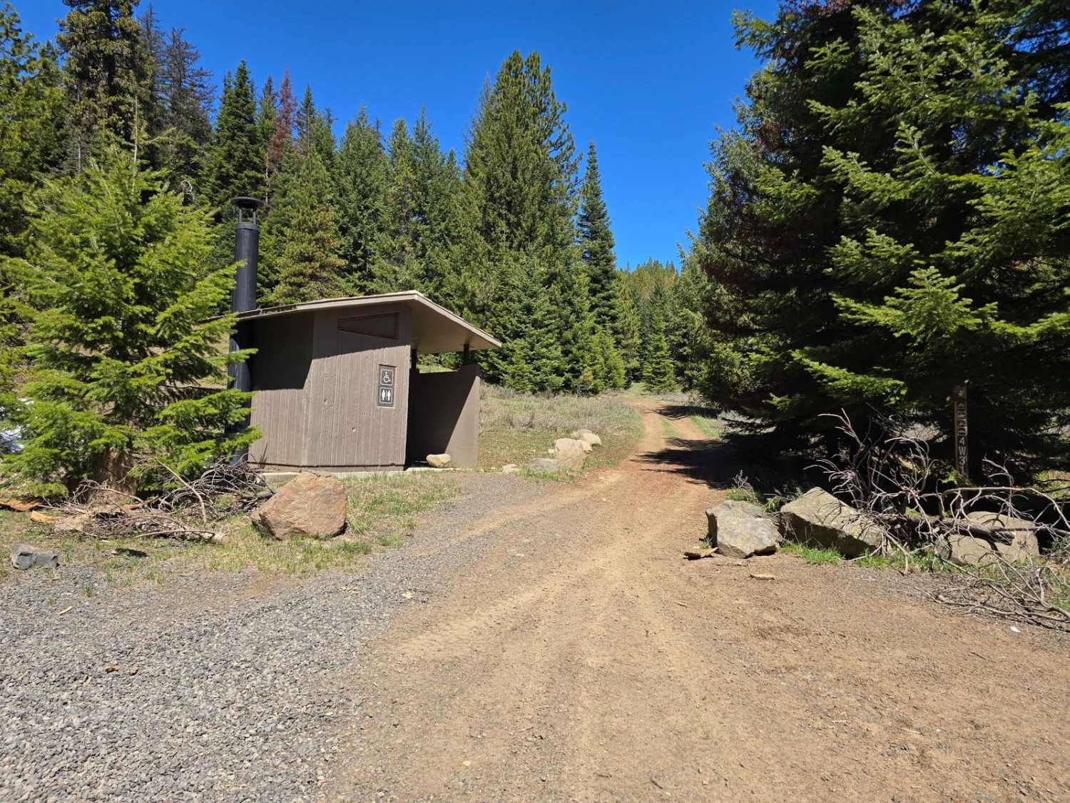
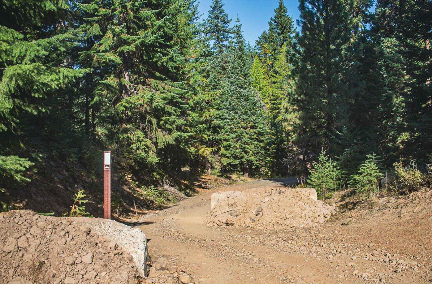
The trail is situated in the Okanogan-Wenatchee National Forest. It features a rocky, rooted, bumpy terrain with short hill climbs. The trail takes you through a dense, shaded forest and across several bridges, including a long bridge that spans a meadow. There are ample opportunities to pull over and take in the scenic views. Keep a lookout for elk and deer.
Photos of Divide Trail 4W311
Difficulty
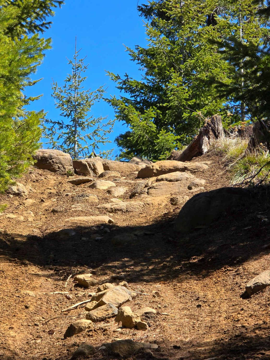
Expect a steep hill climb with deep ruts, loose rocky sections with sharp rocks, and an off-camber downhill with large tree roots to maneuver around.
History
Look for a stone slab marking a grave at Tamarack Springs in the Taneum Canyon. The grave is inscribed with the words "A White Woman's Grave" and belongs to the wife of Al Williams. In 1870, Mrs. Williams was killed at the springs. The couple had become lost while traveling through the area and were directed by an Indian to follow the Tamarack Trail, the closest route to a settlement. In their haste, Mrs. Williams's horse stumbled over a log, causing her to fall. She gave birth prematurely and both she and the baby died. Mr. Williams buried his wife and child as best he could and rode down into the valley. Although he later returned to remove the bodies, he was advised against it by other settlers who believed that Mrs. Williams, as a pioneer's daughter and wife, should rest in a pioneer grave. After some years, a marker was placed on the grave by Matt Pointer to indicate that it was a white woman's grave, in order to protect it from vandalism. A fence was later built around the grave and rocks were placed over it to safeguard it from livestock. Today, the grave is situated off Road 3120 on land owned by the Washington Department of Natural Resources, in a small fenced area across a meadow from the springs. Reference used: Daily Record (Ellensburg, Washington), "Tamarack Springs tragedy recalled," 1973-06-01, pp.
Status Reports
Divide Trail 4W311 can be accessed by the following ride types:
- High-Clearance 4x4
- SxS (60")
- ATV (50")
- Dirt Bike
Divide Trail 4W311 Map
Popular Trails

Wild Horse Monument
The onX Offroad Difference
onX Offroad combines trail photos, descriptions, difficulty ratings, width restrictions, seasonality, and more in a user-friendly interface. Available on all devices, with offline access and full compatibility with CarPlay and Android Auto. Discover what you’re missing today!


