Pete's Creek Trail
Total Miles
10.8
Technical Rating
Best Time
Spring, Summer, Fall
Trail Type
Full-Width Road
Accessible By
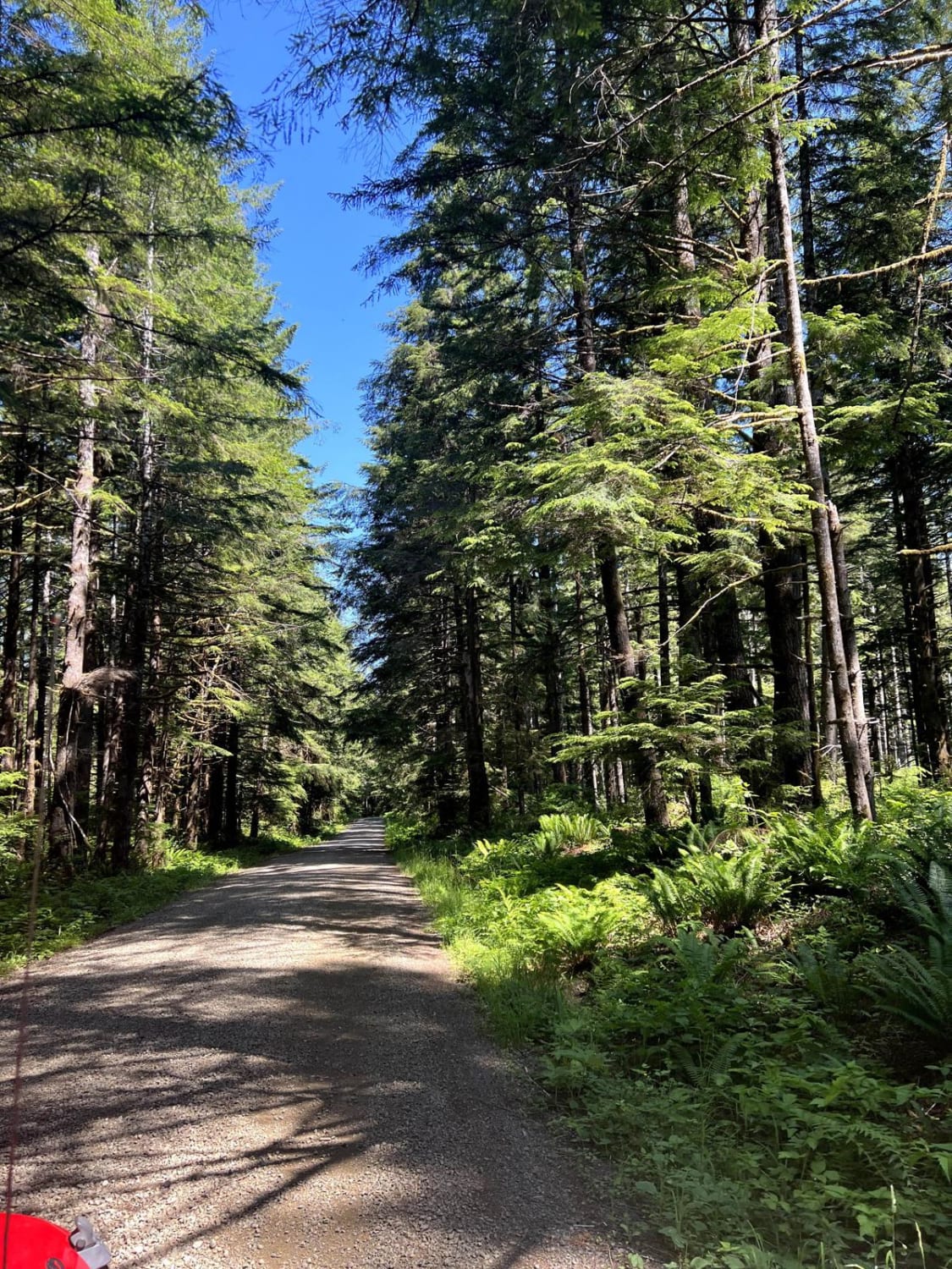
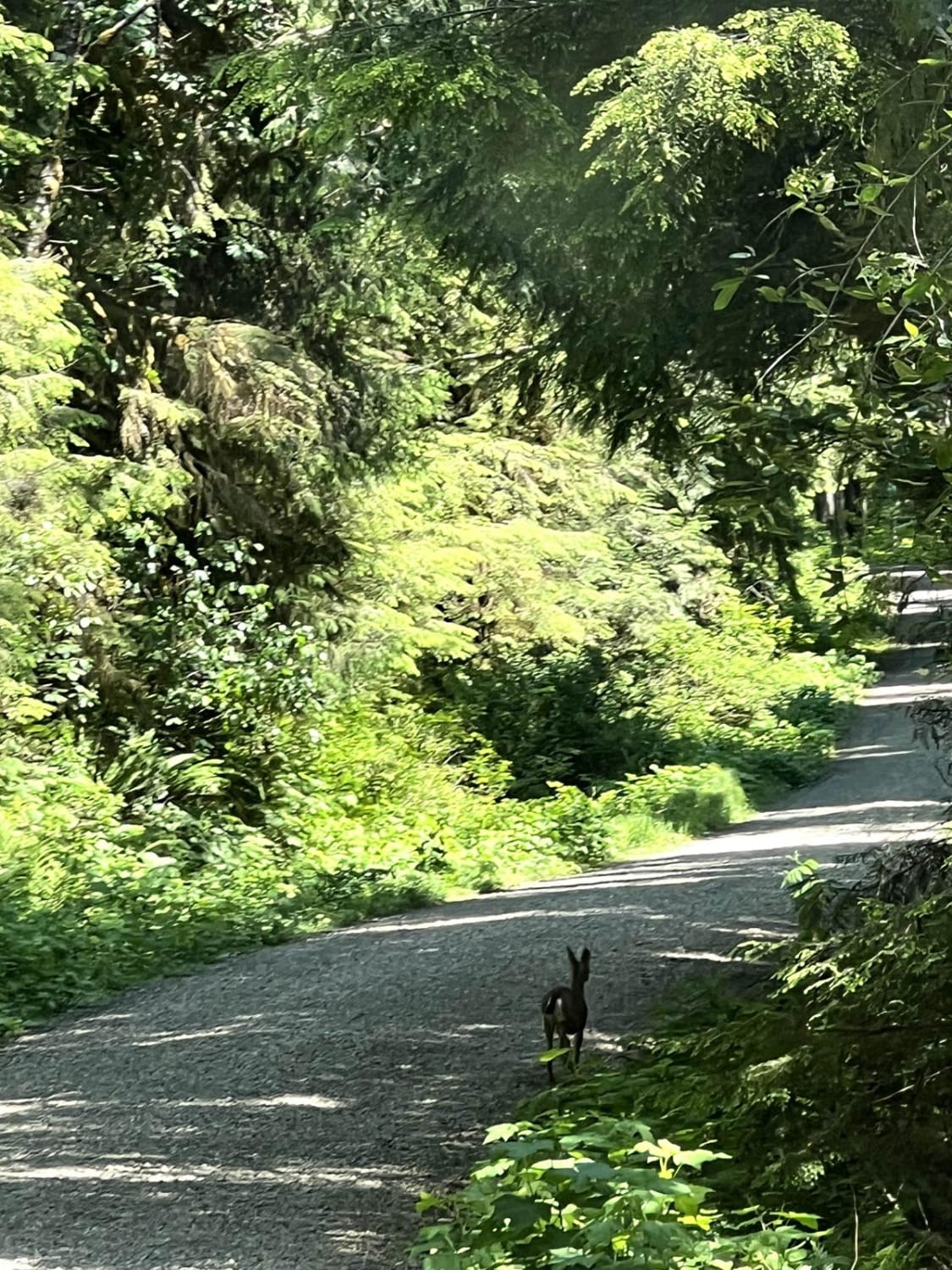
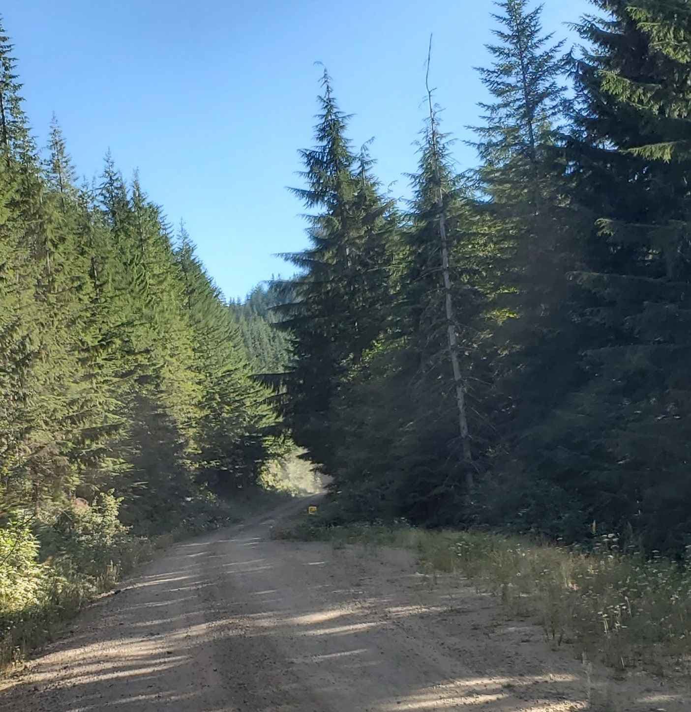
Trail Overview
This 11.1 mile point-to-point trail follows up the West Fork Humptulips River Valley to the Pete's Creek Trailhead and ends at the Campbell Tree Grove Campground. This is a very relaxing drive with some great views. Stop on the bridge at the beginning of the trail for a great view of the river below.
Photos of Pete's Creek Trail
Difficulty
This is a maintained Forest Service Road passable a 2WD vehicle.
Status Reports
Pete's Creek Trail can be accessed by the following ride types:
- High-Clearance 4x4
- SUV
- SxS (60")
- ATV (50")
- Dirt Bike
Pete's Creek Trail Map
Popular Trails

East Fork Road
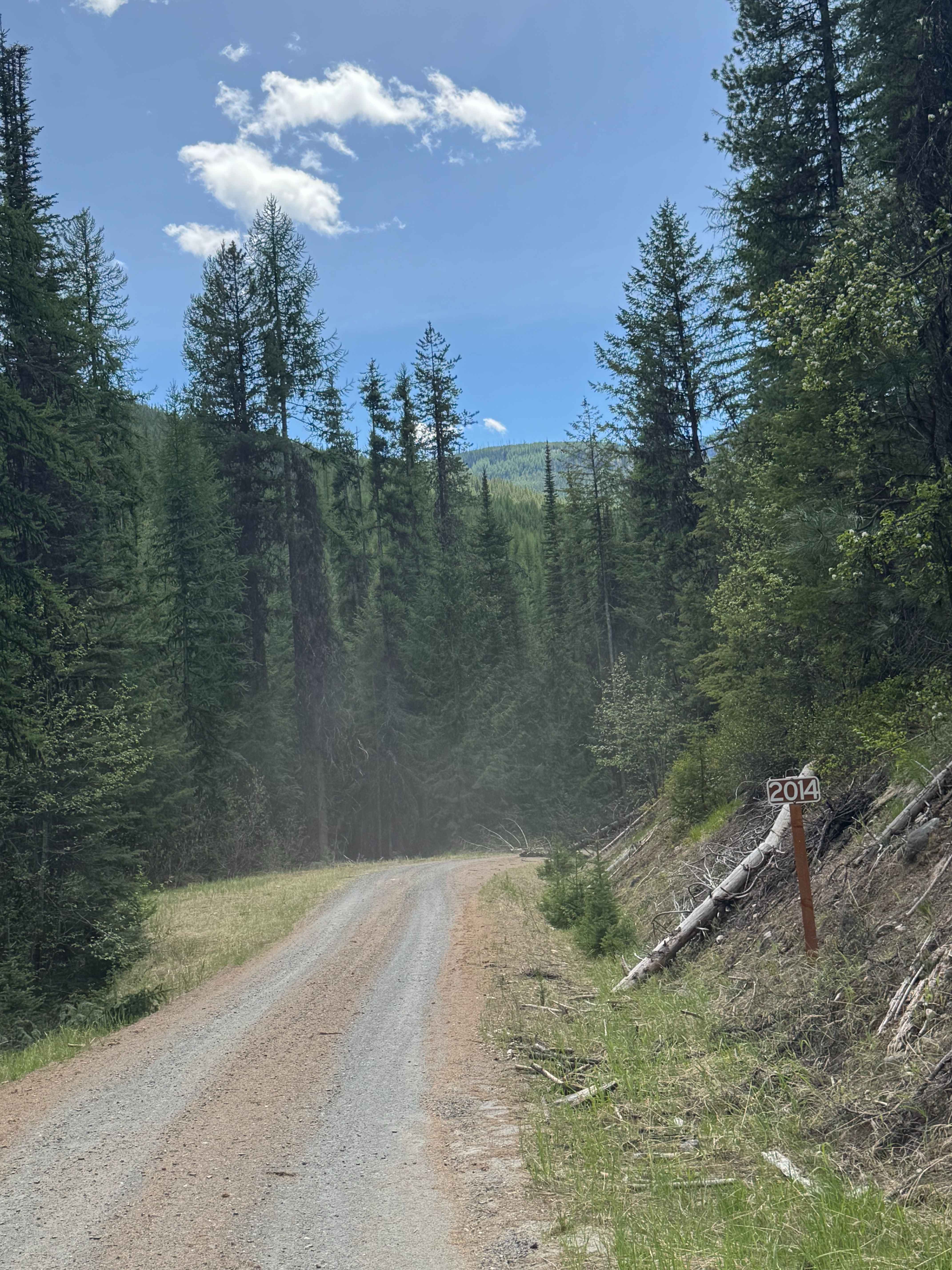
Barnaby Creek - FS 2014-000
The Great Overlook Adventure Path

Forest Road 5300000
The onX Offroad Difference
onX Offroad combines trail photos, descriptions, difficulty ratings, width restrictions, seasonality, and more in a user-friendly interface. Available on all devices, with offline access and full compatibility with CarPlay and Android Auto. Discover what you’re missing today!