S. Skagit Hwy to Gee Point
Total Miles
8.1
Technical Rating
Best Time
Spring, Summer, Fall
Trail Type
Full-Width Road
Accessible By
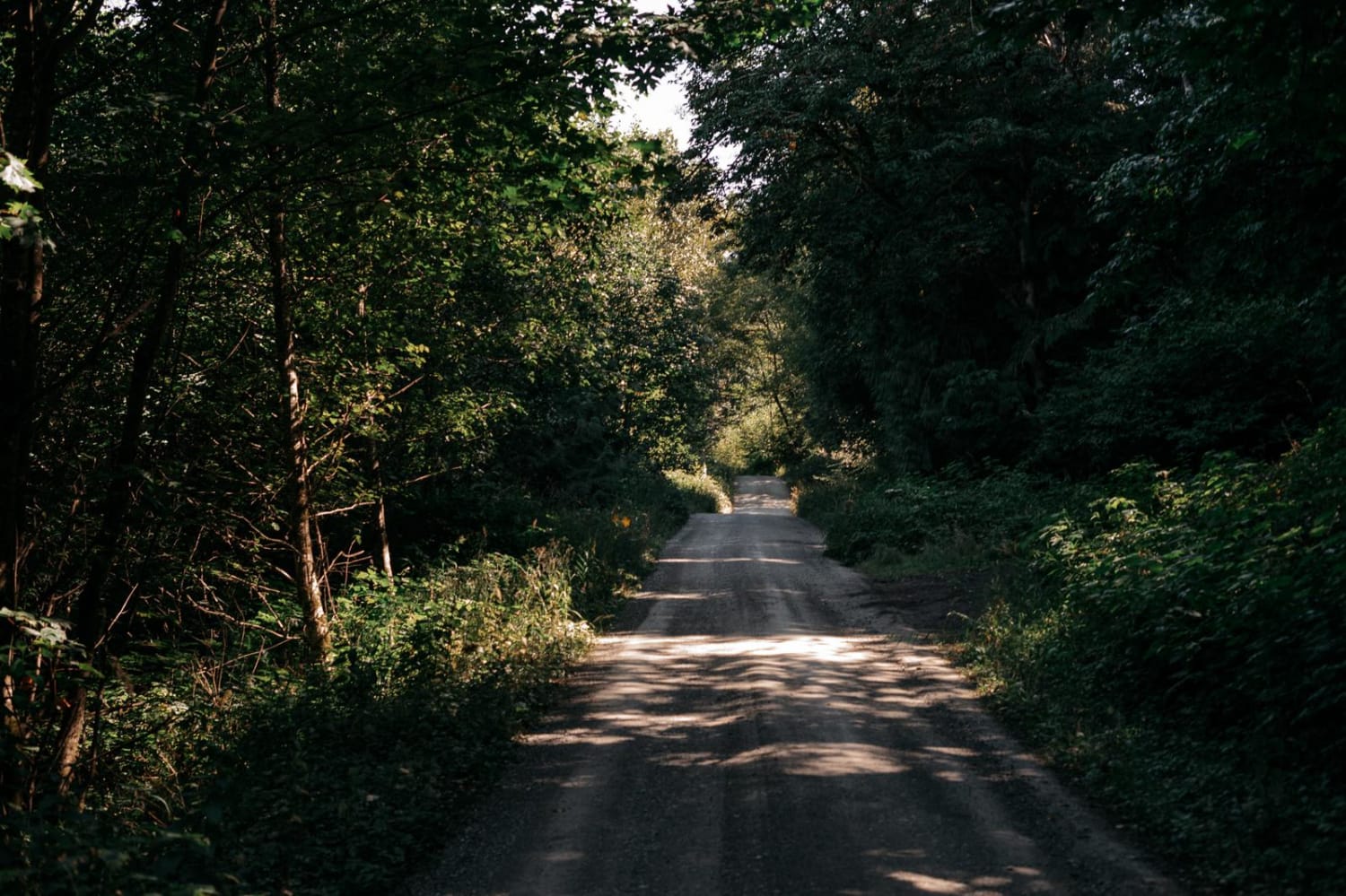
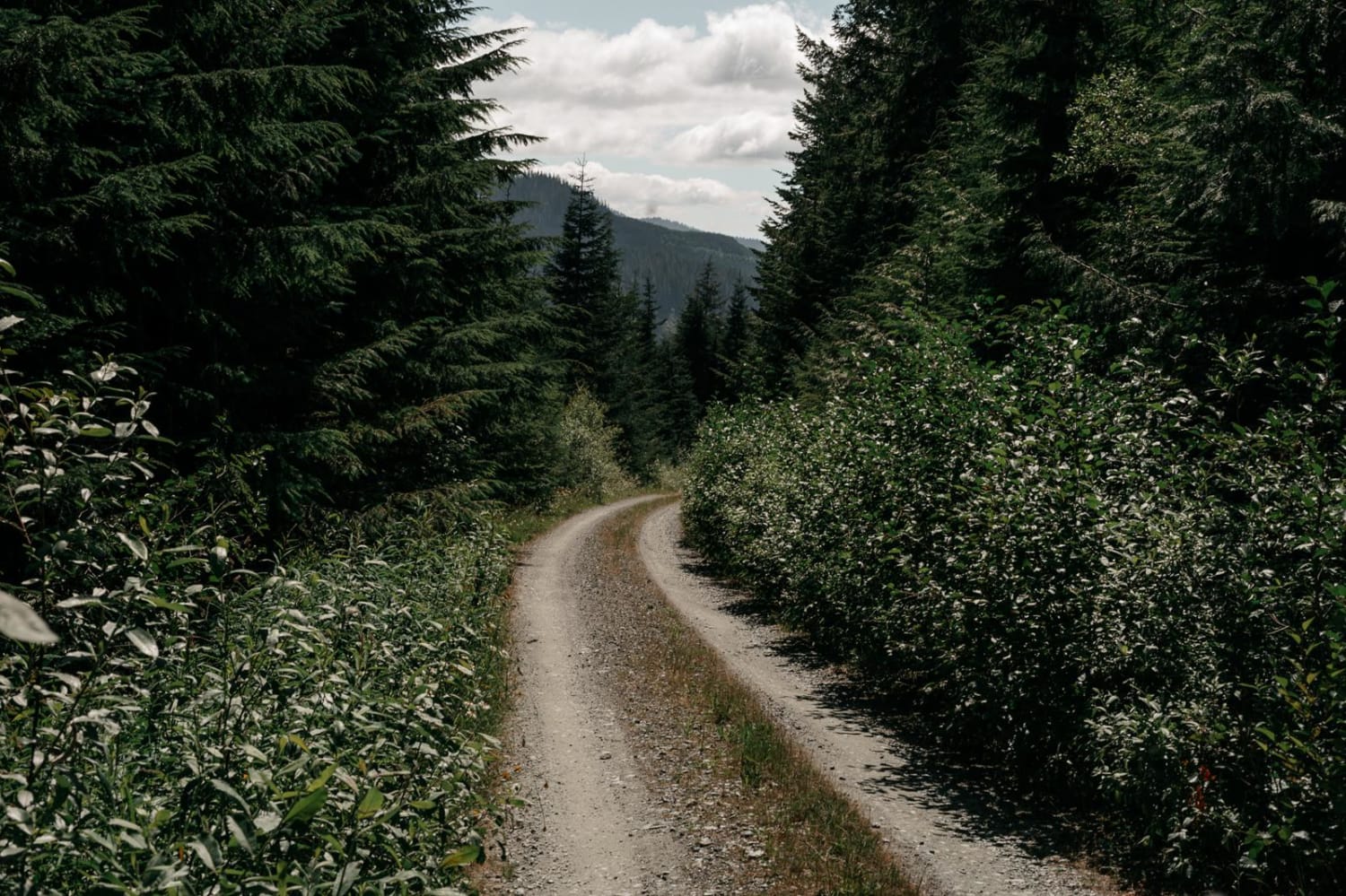
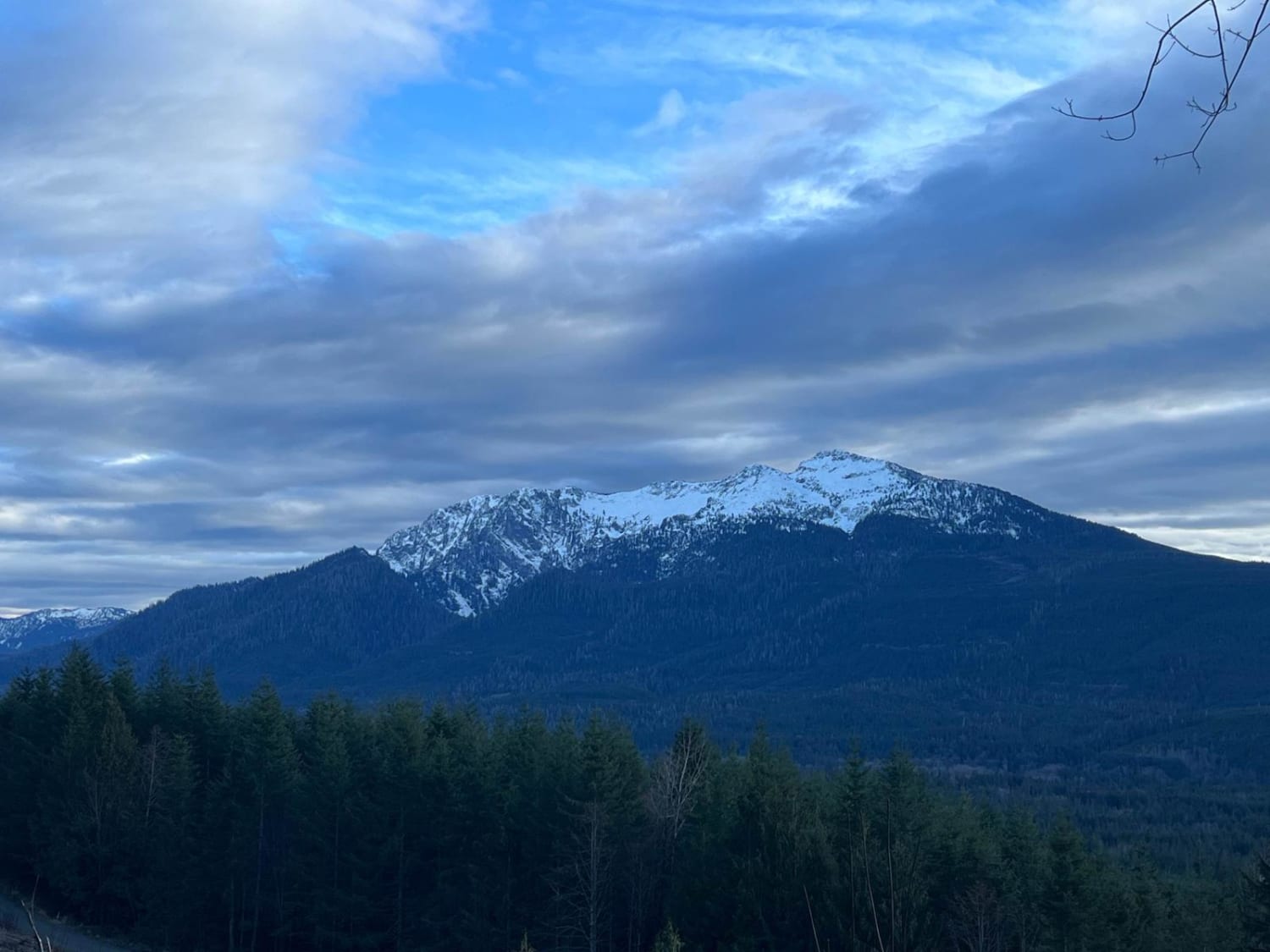
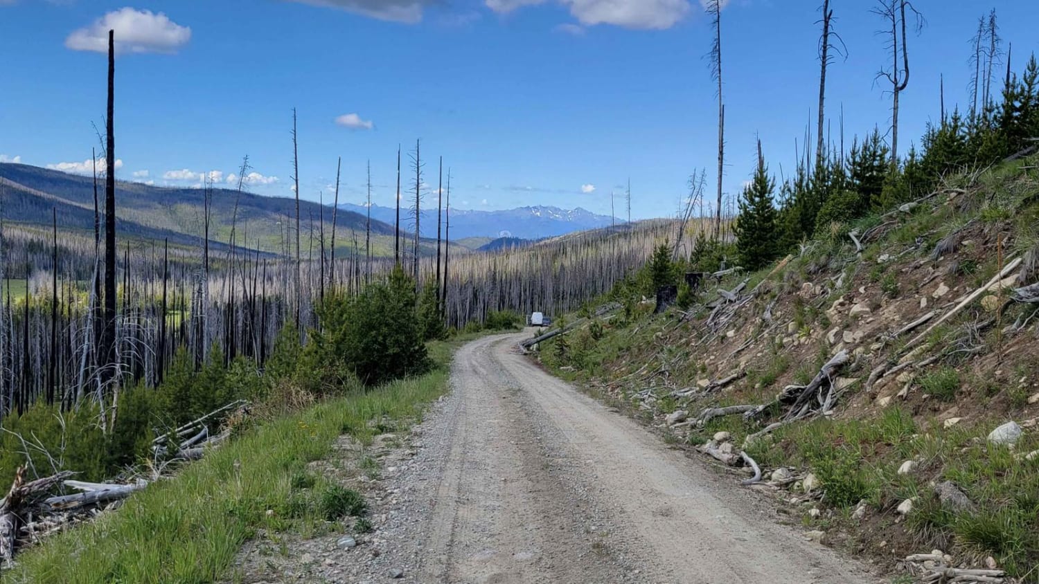
Trail Overview
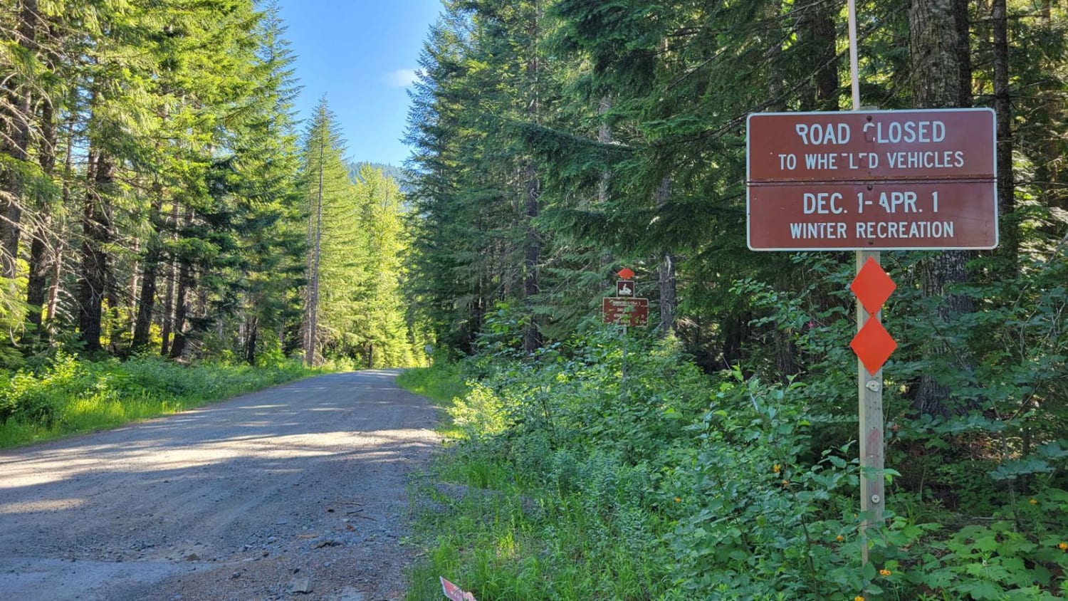
The Finney-Cumberland trail accessing this trail allows for cell phone reception, but the trail to Gee Point does not. During this section, there are great views of Mt. Baker, as well as Skagit Valley and the Skagit River. Gee Lake is at the final 10 miles to Gee Point Trail. This portion of the trail is not difficult but is single-lane and has multiple areas where the road dips. These sections would make running the trail in a vehicle smaller than an SUV difficult. Gee Lake would be impassable in snow, and though 4WD isn't required if it has rained, it would be a welcome assurance. The trail composition is packed gravel, but the road is narrower with no turnouts in the final 4 miles for vehicles heading in opposing directions. This trail also leads to Gee Lake on your right, before Gee Point Trail, with parking and a fire ring for camping.
Photos of S. Skagit Hwy to Gee Point
Difficulty
100% of the trail is easy for a 4x4 SUV or truck with stock clearance. Smaller vehicles would have difficulty making the final portion of the trail due to clearance.
Status Reports
S. Skagit Hwy to Gee Point can be accessed by the following ride types:
- High-Clearance 4x4
- SUV
- SxS (60")
- ATV (50")
- Dirt Bike
S. Skagit Hwy to Gee Point Map
Popular Trails
TUPSO Pass Mountain Stroll
NF 39 (South) - Meadows-Toats
FR 6507 - Outlaw Road
The onX Offroad Difference
onX Offroad combines trail photos, descriptions, difficulty ratings, width restrictions, seasonality, and more in a user-friendly interface. Available on all devices, with offline access and full compatibility with CarPlay and Android Auto. Discover what you’re missing today!