FR 86 - Cave Creek
Total Miles
6.2
Technical Rating
Best Time
Fall, Summer
Trail Type
Full-Width Road
Accessible By
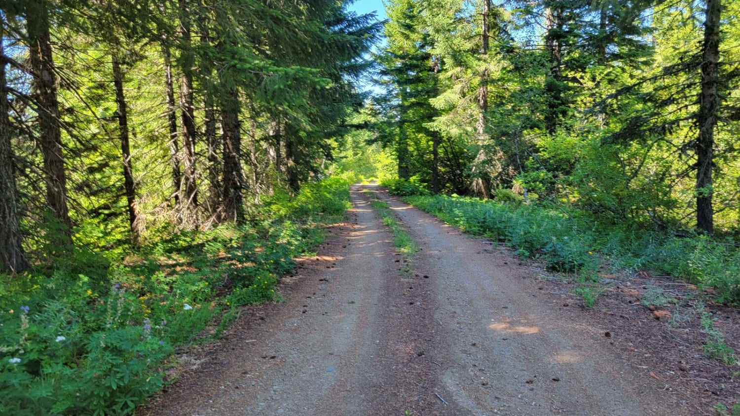
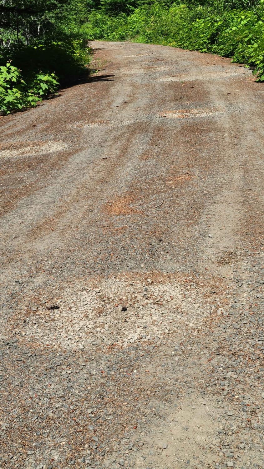
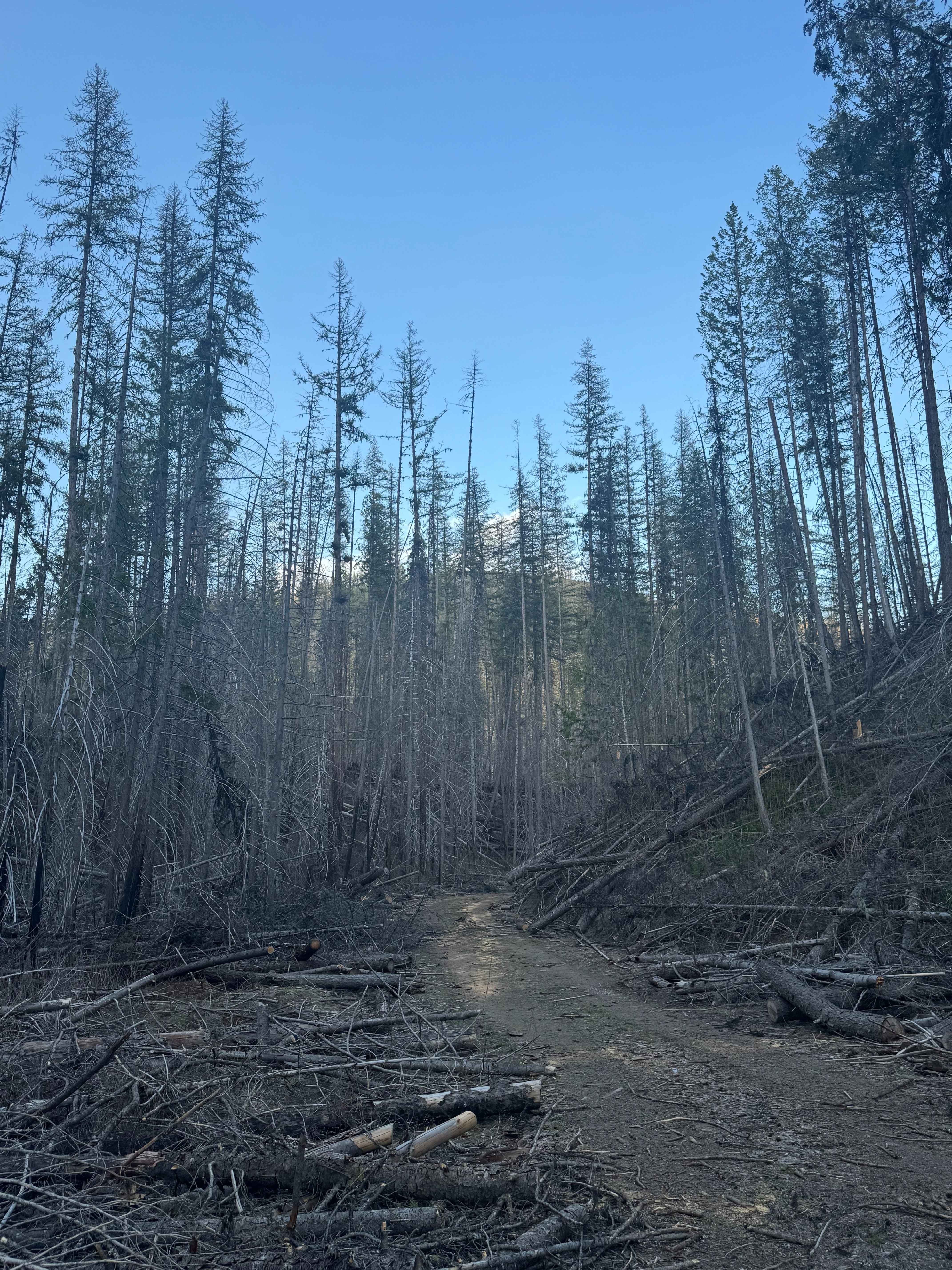
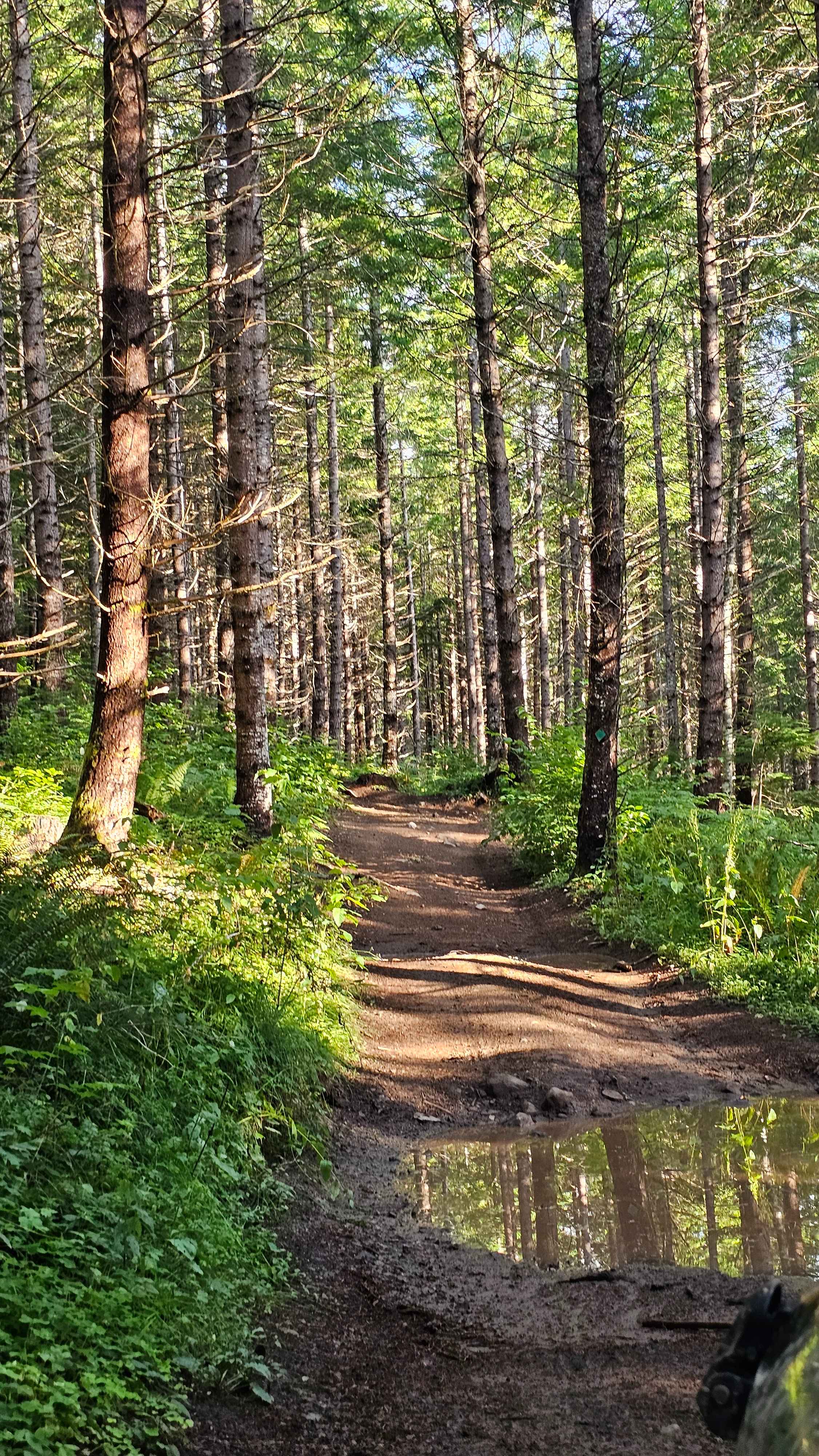
Trail Overview
Forest Road 86 is a wide and easy connector to several other trails in the area. The road conditions are that of a typical mountain road, complete with some washboard sections and large potholes to navigate. Safe and capable for 2WD vehicles. There is an awesome overlook point of the surrounding forest and of Mount Adams. On a clear day, you'll even be able to see the tip of Mt. Rainier to the left of Mt. Adams, which is roughly 65 miles away! Intermittent cellular service. The area is unmaintained (closed) in the winter and early spring months.
Photos of FR 86 - Cave Creek
Difficulty
The road conditions are that of a typical mountain road, complete with some washboard sections and large potholes to navigate. It is safe and capable for 2WD vehicles.
Status Reports
FR 86 - Cave Creek can be accessed by the following ride types:
- High-Clearance 4x4
- SUV
- SxS (60")
- ATV (50")
- Dirt Bike
FR 86 - Cave Creek Map
Popular Trails
Bowen Mountain - FS 1500-190

Oil City Road
Inner Alder loop
The onX Offroad Difference
onX Offroad combines trail photos, descriptions, difficulty ratings, width restrictions, seasonality, and more in a user-friendly interface. Available on all devices, with offline access and full compatibility with CarPlay and Android Auto. Discover what you’re missing today!