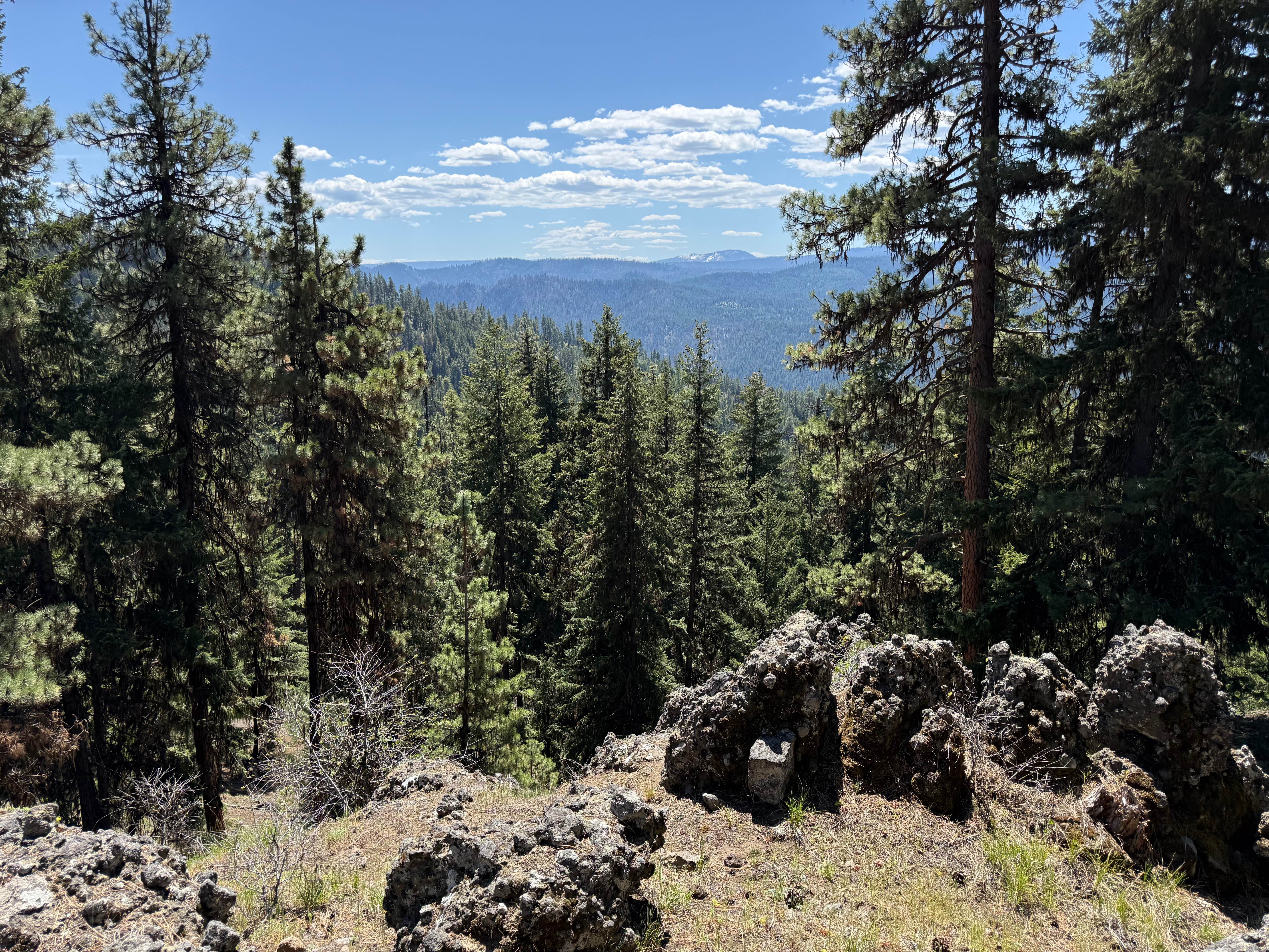
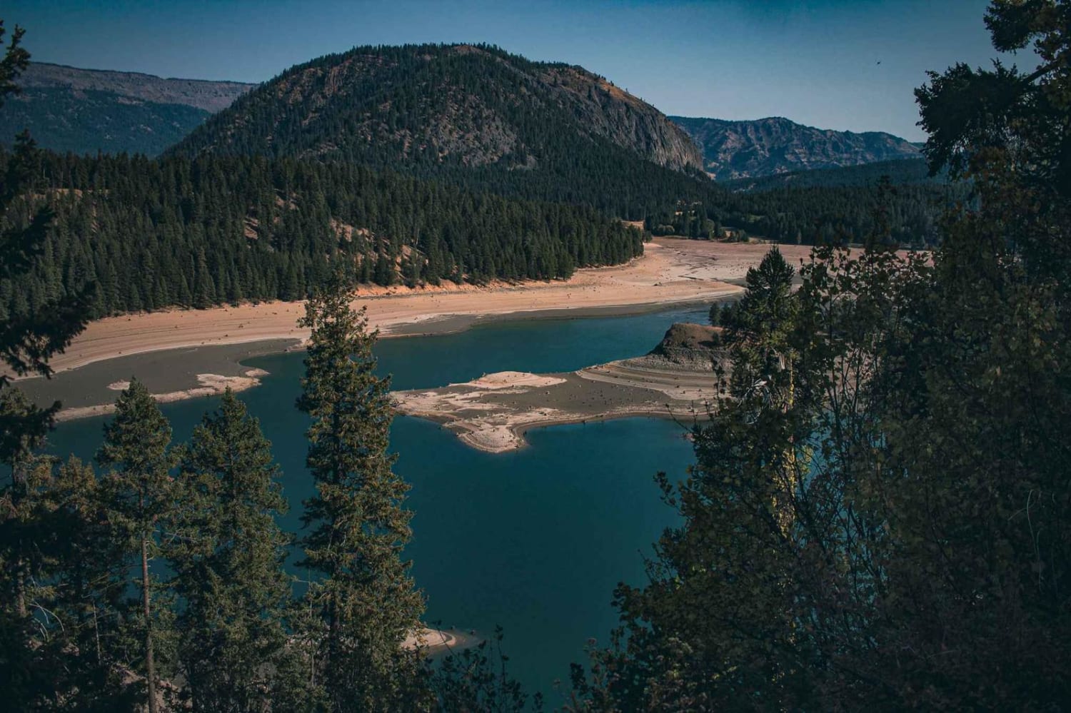
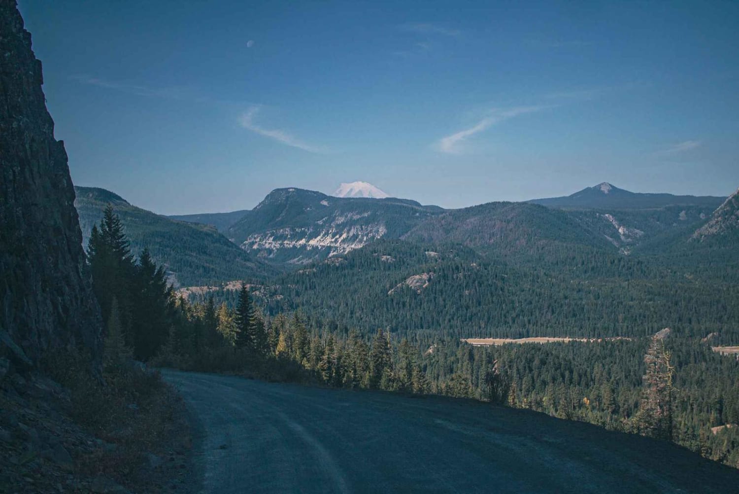
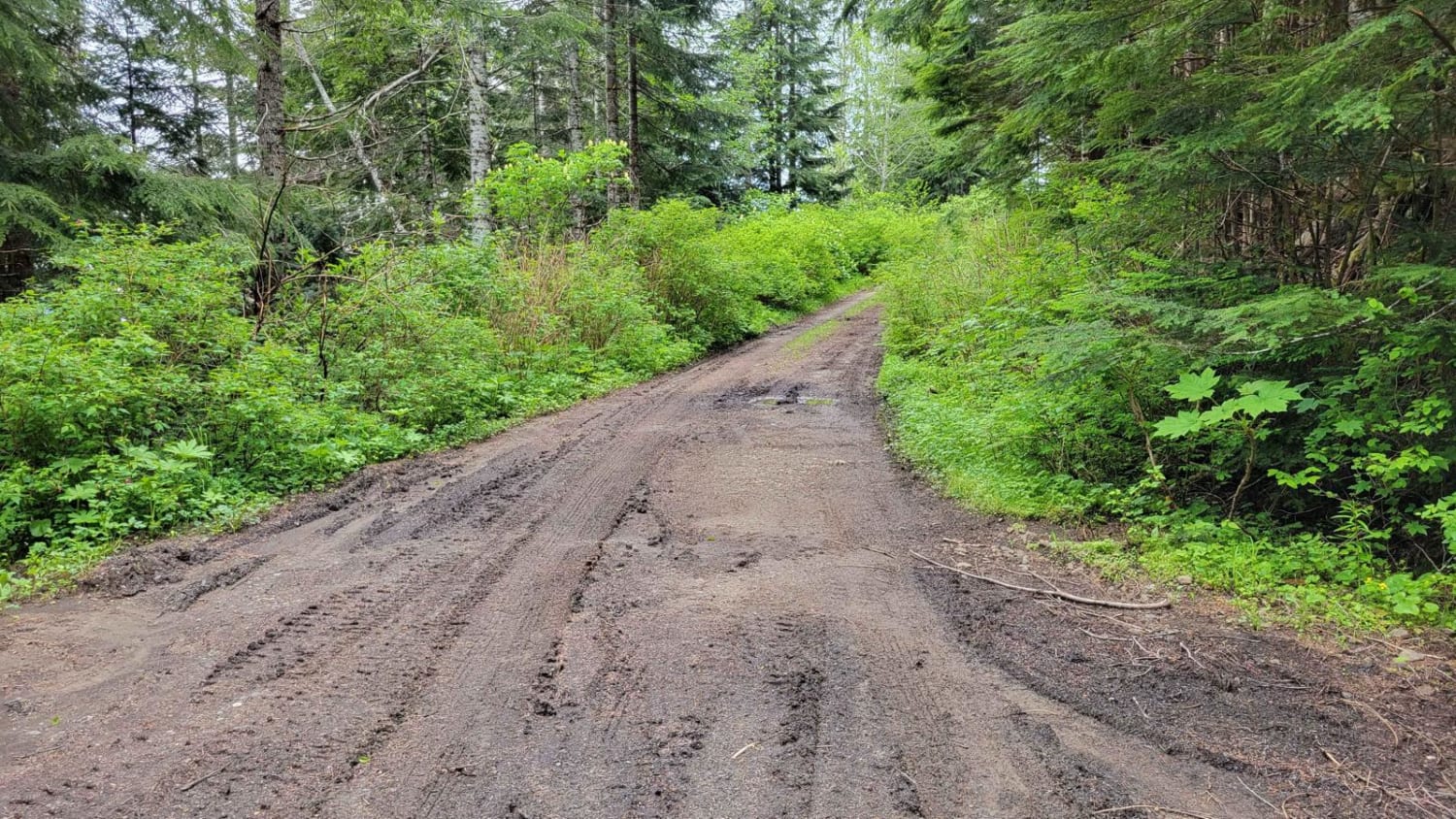
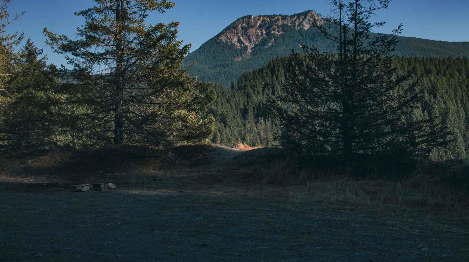
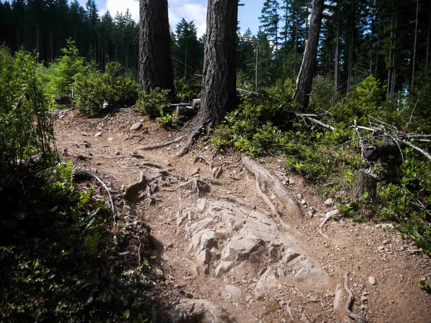
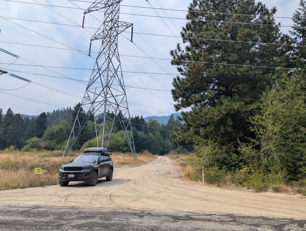
Off-Road Trails in Washington
Discover off-road trails in Washington
Learn more about Phelps Creek Trailhead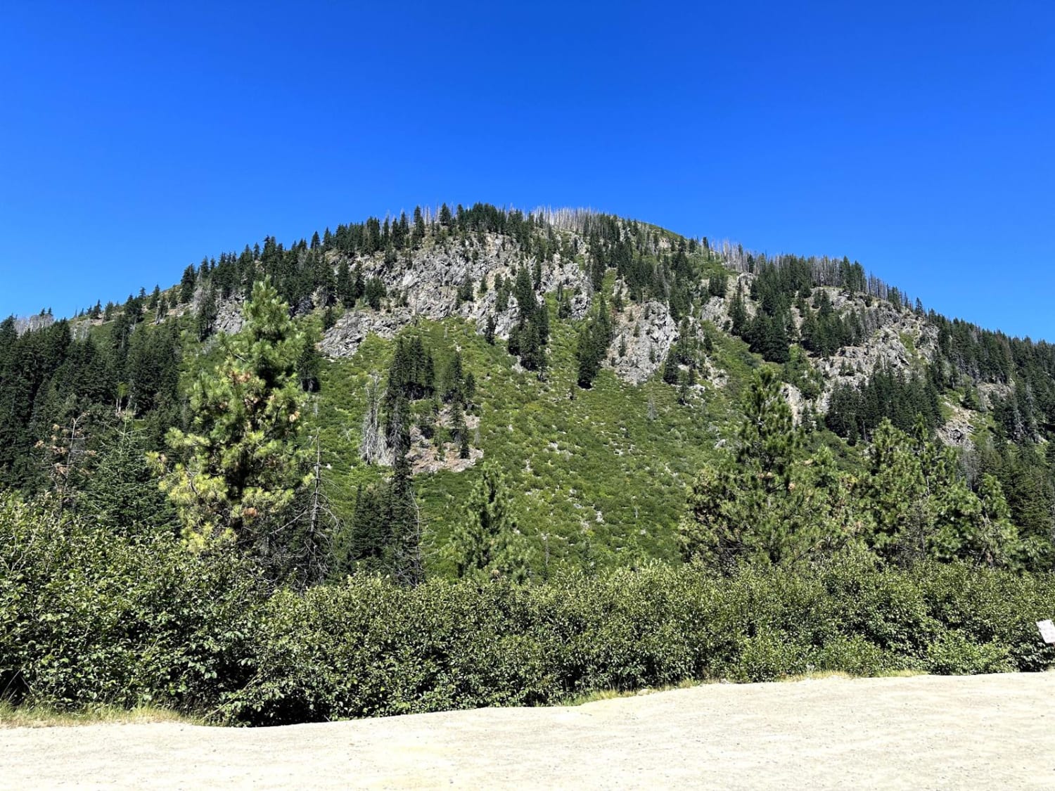
Phelps Creek Trailhead
Total Miles
2.4
Tech Rating
Easy
Best Time
Summer, Fall, Spring
Learn more about Pine Creek Road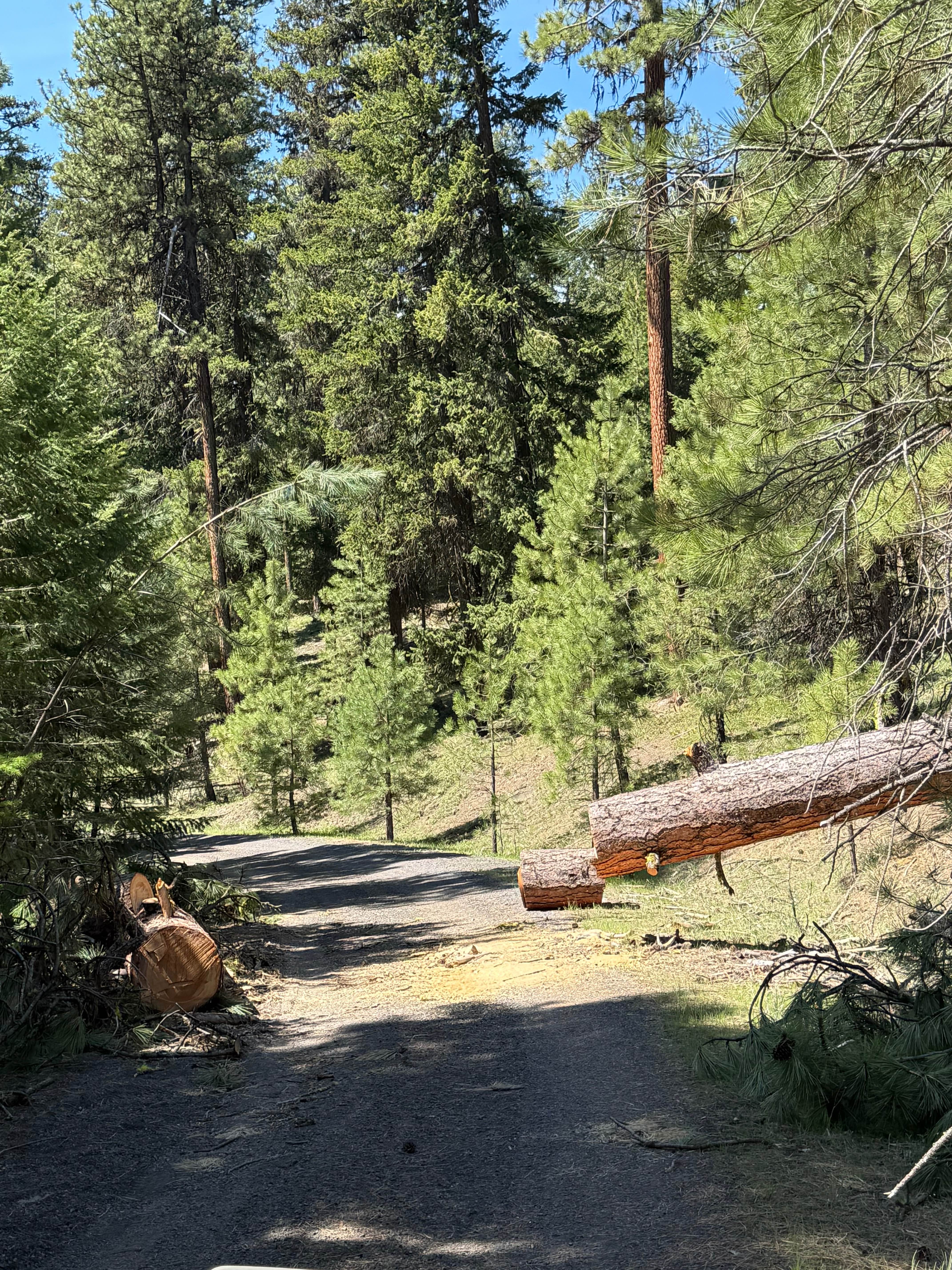
Pine Creek Road
Total Miles
4.8
Tech Rating
Easy
Best Time
Summer, Fall, Spring
Learn more about PineHaus - NF1304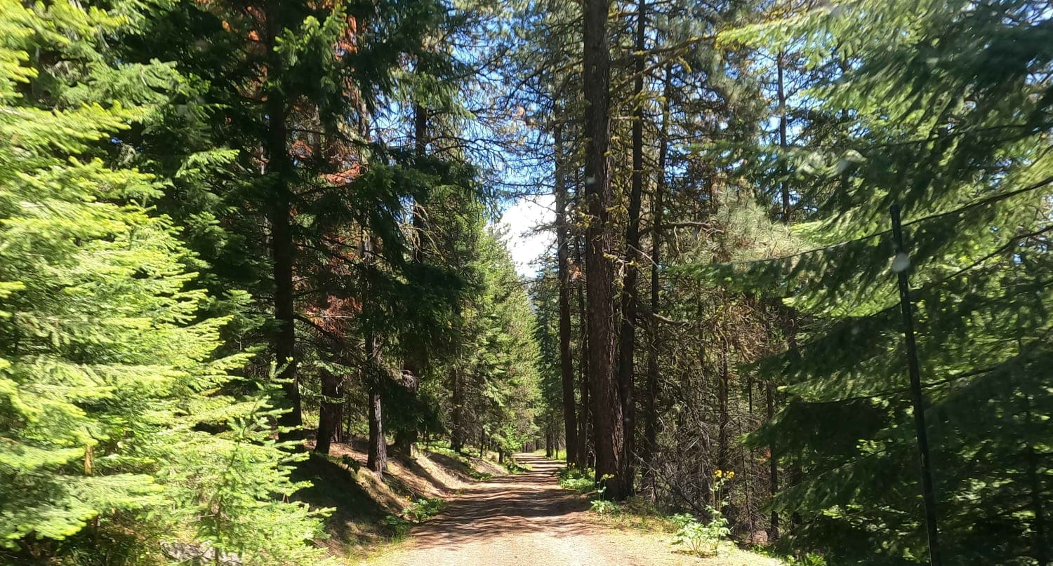
PineHaus - NF1304
Total Miles
4.5
Tech Rating
Easy
Best Time
Spring, Summer, Fall
Learn more about Planters Loop - FR 2340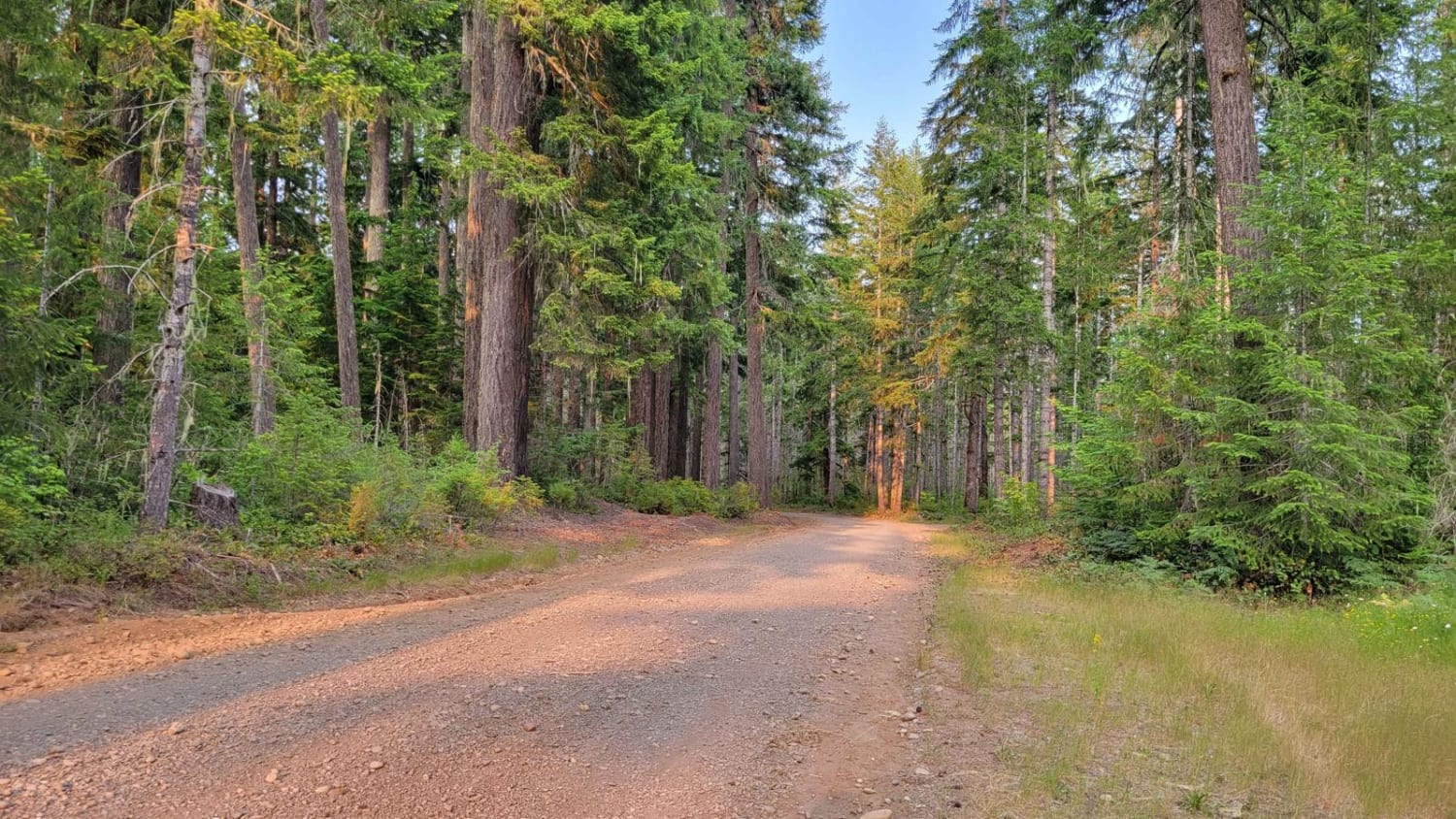
Planters Loop - FR 2340
Total Miles
10.2
Tech Rating
Easy
Best Time
Fall, Summer
Learn more about Poch Peak Trail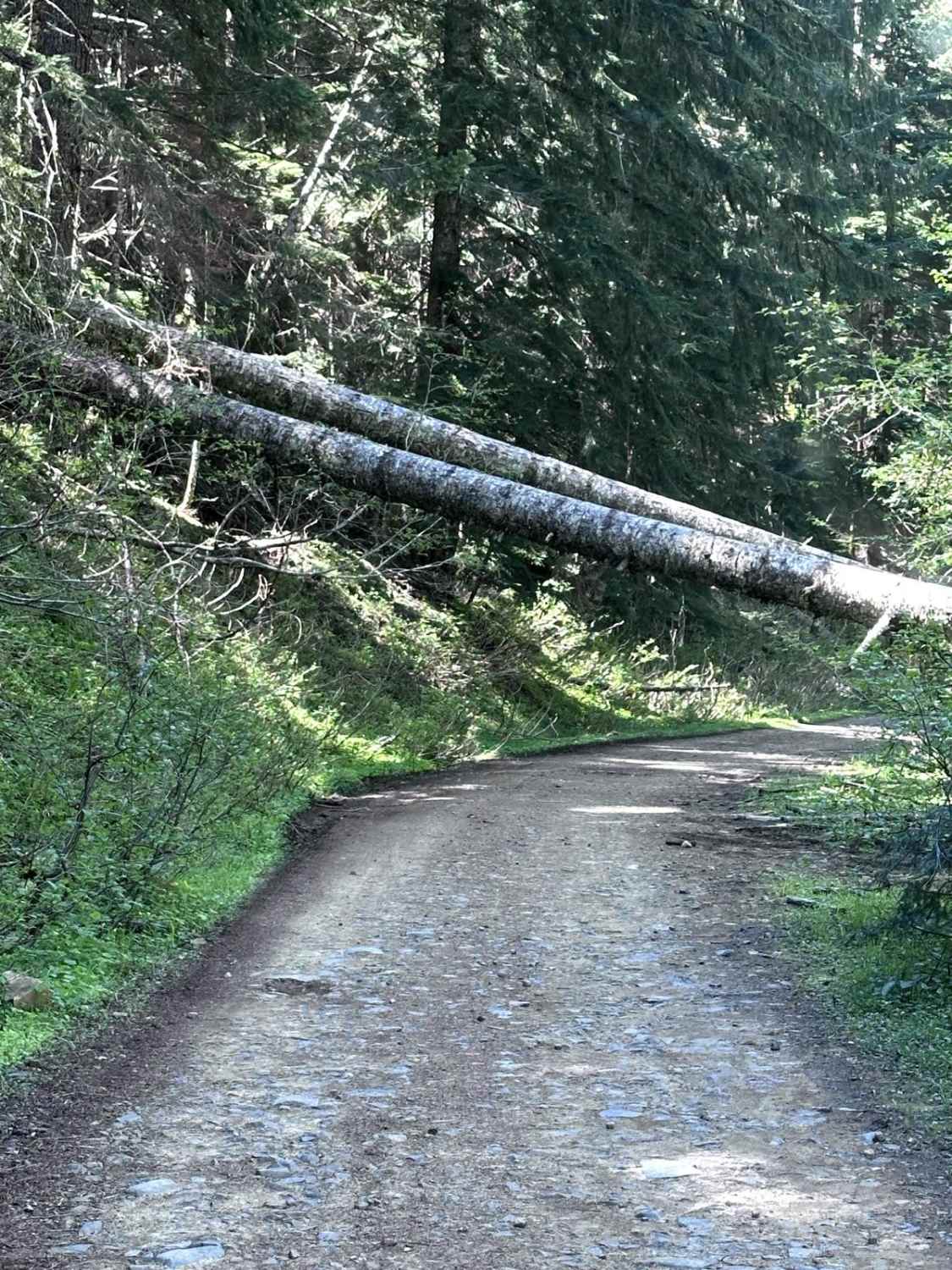
Poch Peak Trail
Total Miles
4.2
Tech Rating
Easy
Best Time
Spring, Summer, Fall, Winter
Learn more about Poch Ridge Trail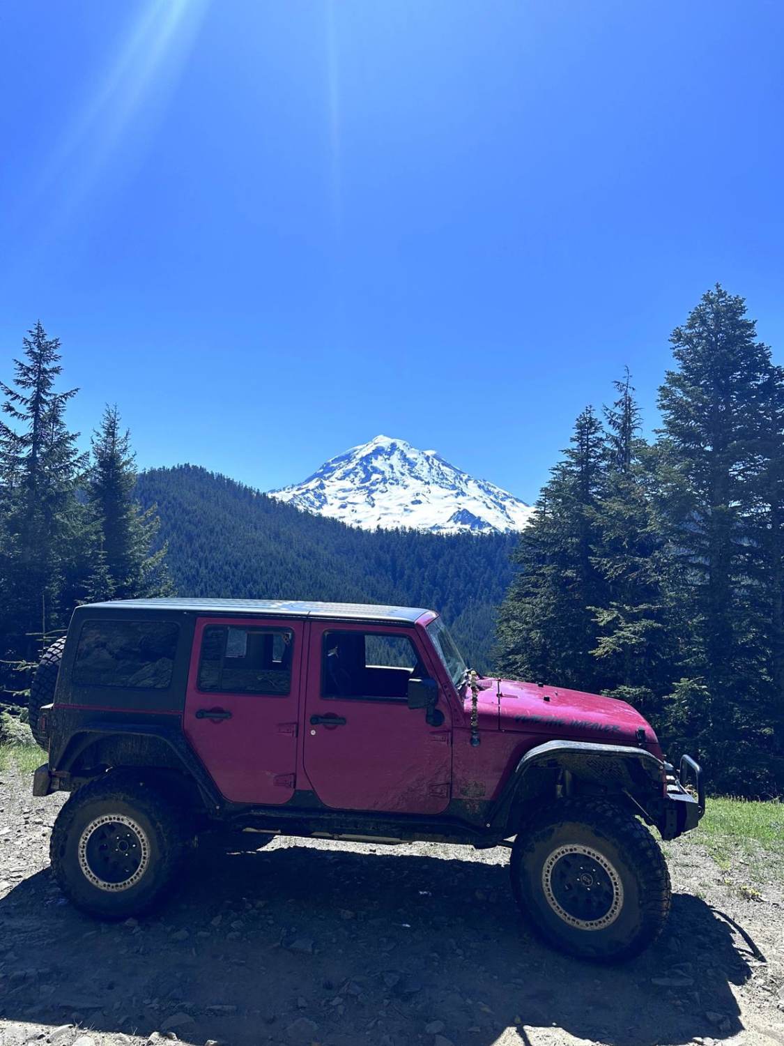
Poch Ridge Trail
Total Miles
3.6
Tech Rating
Easy
Best Time
Spring, Summer, Fall, Winter
Learn more about Poison Gulch Run
Poison Gulch Run
Total Miles
9.1
Tech Rating
Moderate
Best Time
Spring, Summer, Fall
Learn more about Pole Creek Loop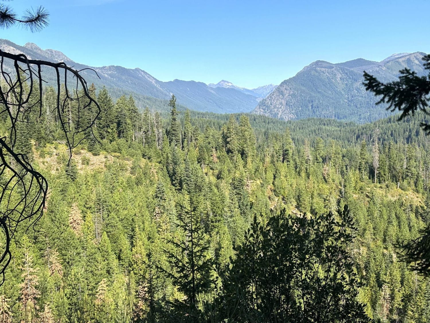
Pole Creek Loop
Total Miles
12.1
Tech Rating
Easy
Best Time
Spring, Summer, Fall
Learn more about Pomeroy Grouse (National Forest Development RD 040) #1
Pomeroy Grouse (National Forest Development RD 040) #1
Total Miles
8.1
Tech Rating
Easy
Best Time
Spring, Summer, Fall, Winter
Learn more about Pomeroy Grouse Flat #40 (#2)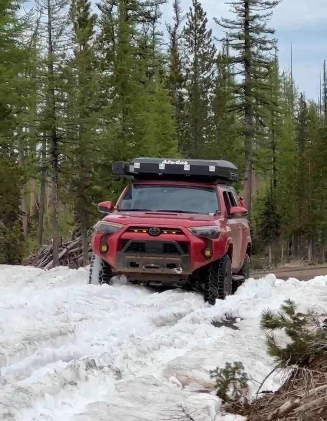
Pomeroy Grouse Flat #40 (#2)
Total Miles
7.7
Tech Rating
Easy
Best Time
Spring, Summer, Fall
Learn more about Poorman Creek Road (NF 4300300)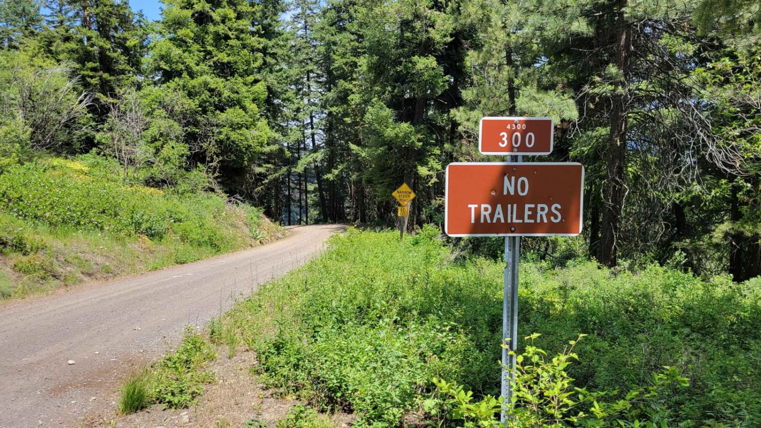
Poorman Creek Road (NF 4300300)
Total Miles
5.9
Tech Rating
Easy
Best Time
Fall, Summer
Learn more about Porcupine - FS 4930118
Porcupine - FS 4930118
Total Miles
0.9
Tech Rating
Easy
Best Time
Spring, Summer, Fall, Winter
Learn more about Porcupine Creek
Porcupine Creek
Total Miles
5.9
Tech Rating
Easy
Best Time
Spring, Summer, Fall
ATV trails in Washington


Learn more about 4104504 - Deep Woods Adventure
4104504 - Deep Woods Adventure
Total Miles
5.8
Tech Rating
Moderate
Best Time
Spring, Summer, Fall
UTV/side-by-side trails in Washington
Learn more about 4104504 - Deep Woods Adventure
4104504 - Deep Woods Adventure
Total Miles
5.8
Tech Rating
Moderate
Best Time
Spring, Summer, Fall
The onX Offroad Difference
onX Offroad combines trail photos, descriptions, difficulty ratings, width restrictions, seasonality, and more in a user-friendly interface. Available on all devices, with offline access and full compatibility with CarPlay and Android Auto. Discover what you’re missing today!