Pinto
Total Miles
20.1
Technical Rating
Best Time
Summer, Spring, Fall
Trail Type
Full-Width Road
Accessible By
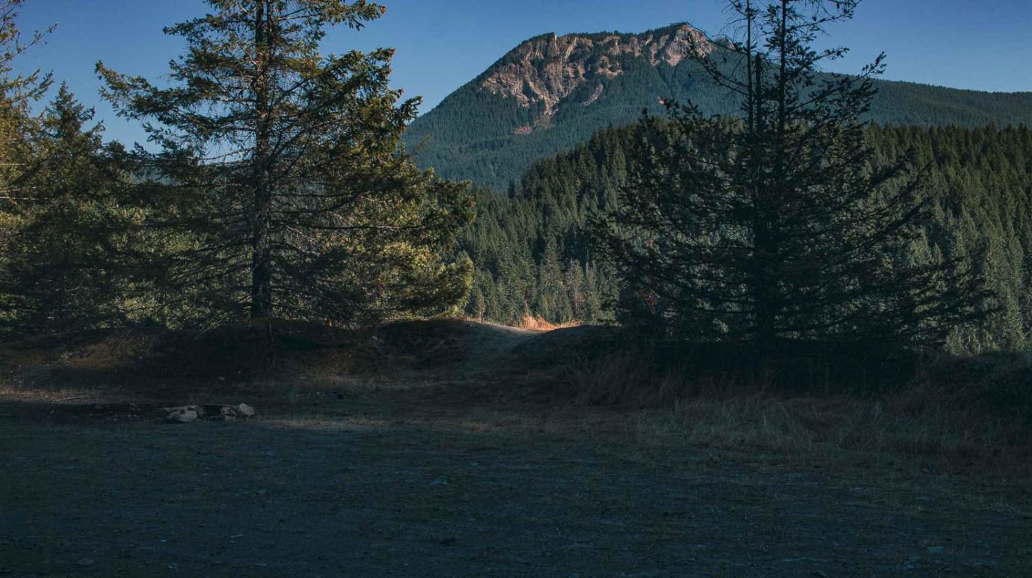
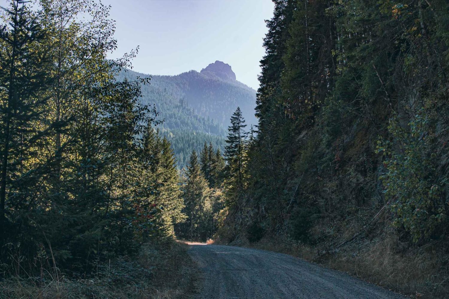
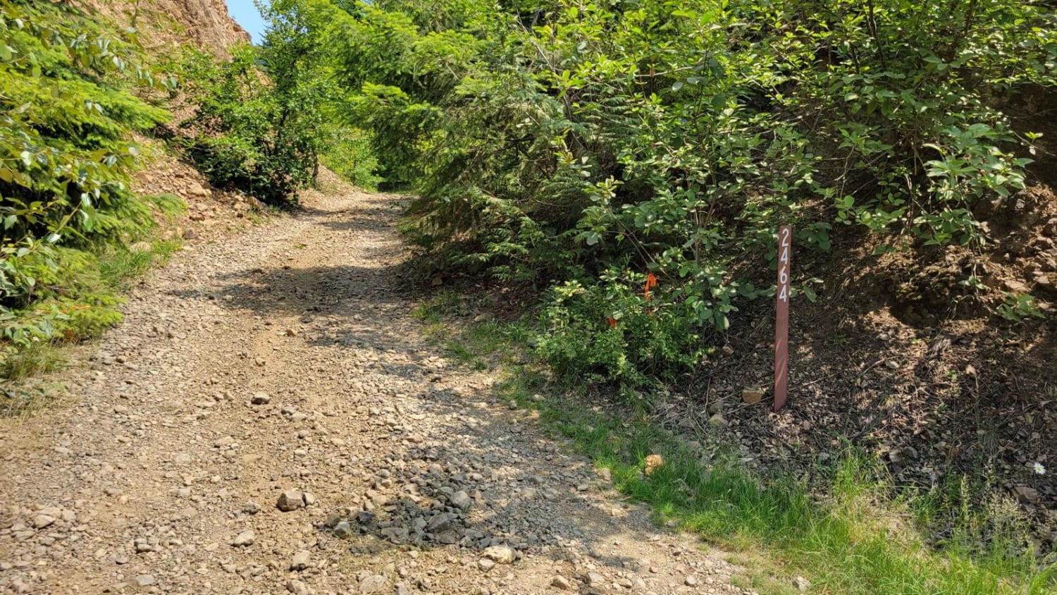
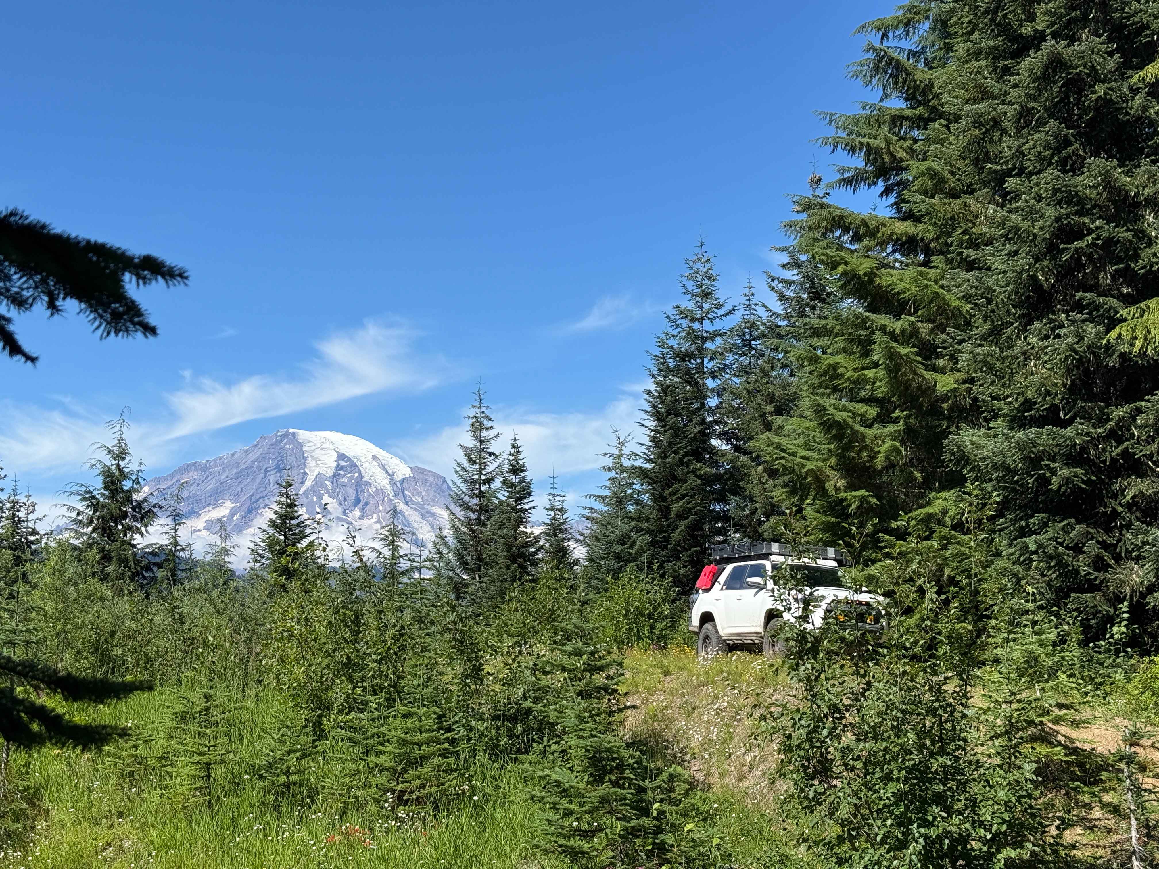
Trail Overview
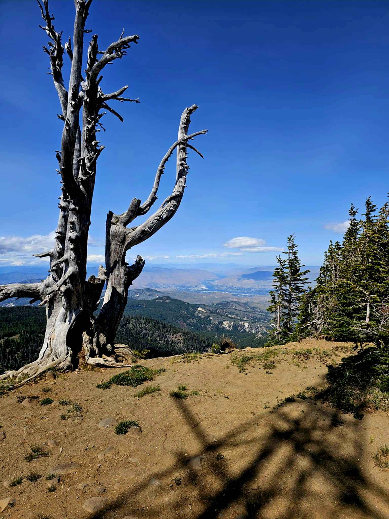
Pinto road runs through the Gifford Pinchot National Forest and it is a gravel surface road, with a couple of potholes. The road is very easy and enjoyable, you will enjoy sections of rock faces, and thick trees, then sometimes the trees clear and you get a nice view. A couple of camping spots also offer good views or are tucked away in the trees.
Photos of Pinto
Difficulty
Not Winter Maintained
Status Reports
Pinto can be accessed by the following ride types:
- High-Clearance 4x4
- SUV
- SxS (60")
- ATV (50")
- Dirt Bike
Pinto Map
Popular Trails

The onX Offroad Difference
onX Offroad combines trail photos, descriptions, difficulty ratings, width restrictions, seasonality, and more in a user-friendly interface. Available on all devices, with offline access and full compatibility with CarPlay and Android Auto. Discover what you’re missing today!