Poch Ridge Trail
Total Miles
3.6
Technical Rating
Best Time
Spring, Summer, Fall, Winter
Trail Type
Full-Width Road
Accessible By
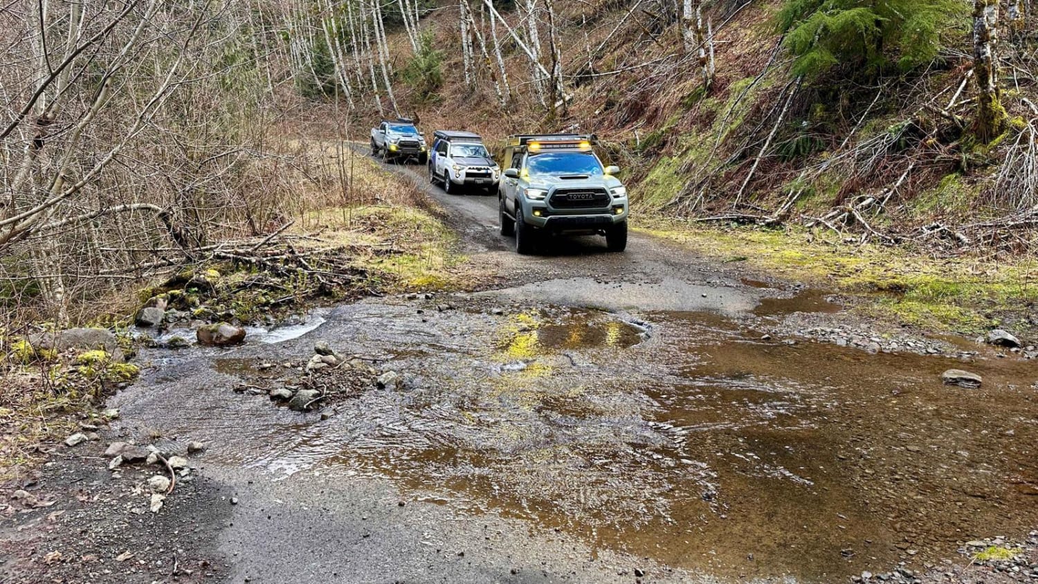
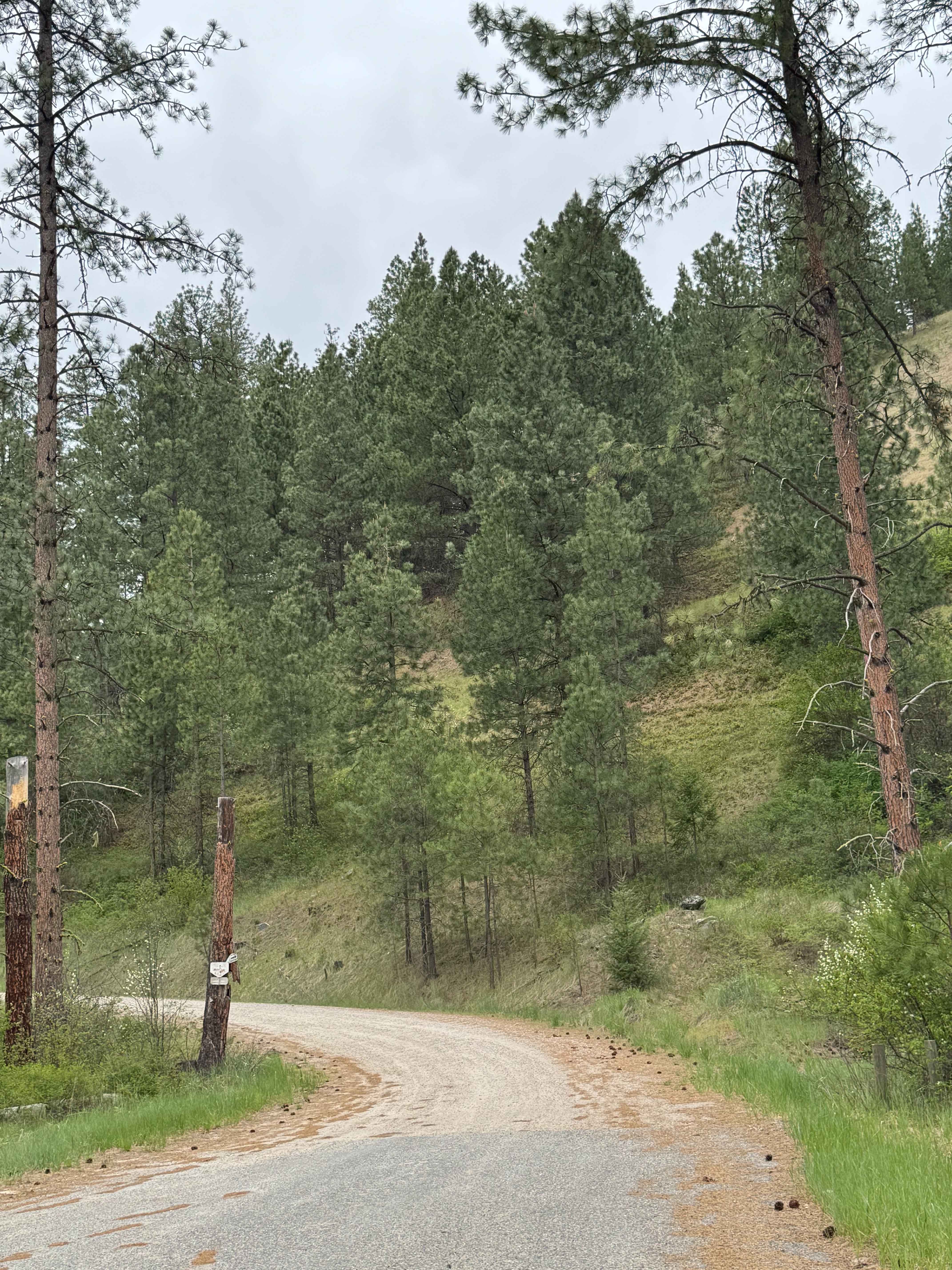
Trail Overview
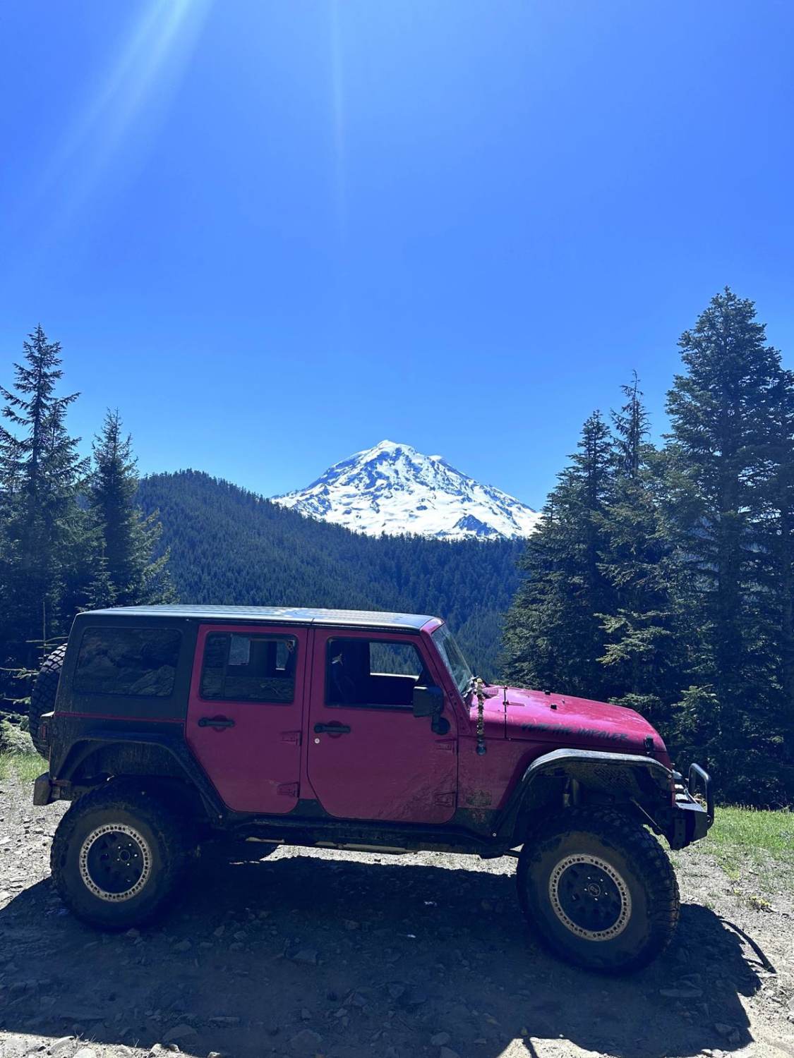
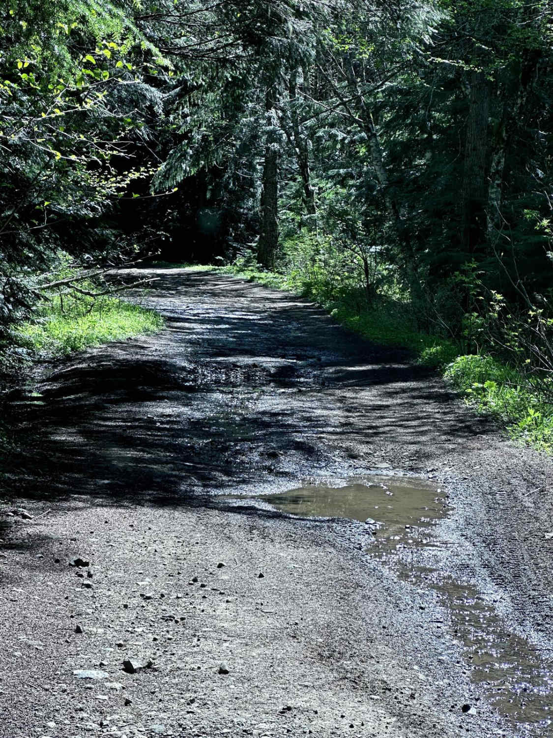
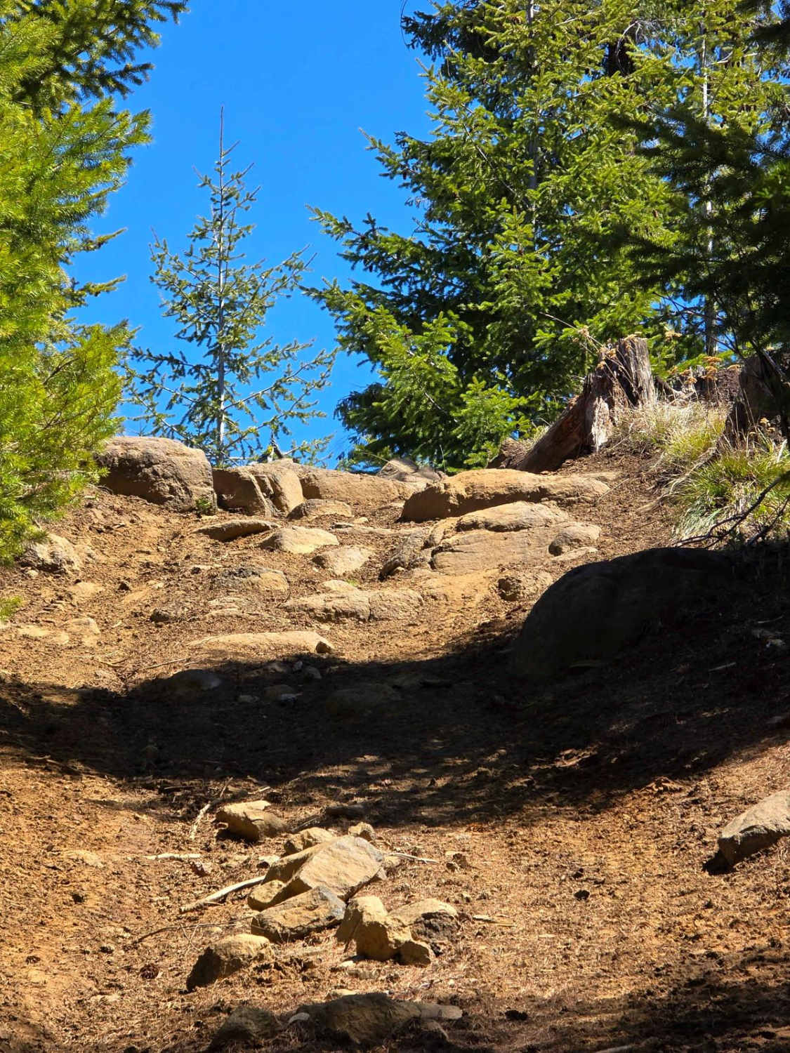
This 3.2-mile point-to-point trail begins at the Evans Creek Trailhead and connects to two more challenging trails. This trail is an easy trail with shallow mud holes and ruts along it. There is one optional obstacle which is a short steep hill climb. There are several great views of Mount Rainier along this trail.
Photos of Poch Ridge Trail
Difficulty
Expect mud holes and ruts up to 12 inches in depth.
History
Evans Creek Trailhead provides access to 40 miles of combined 4WD and motorcycle/quad trails of varying difficulty. This is a fee area and requires a US Forest Pass or Interagency Pass.
Poch Ridge Trail can be accessed by the following ride types:
- High-Clearance 4x4
- SUV
- SxS (60")
- ATV (50")
- Dirt Bike
Poch Ridge Trail Map
Popular Trails
Divide Trail 4W311
Meloy Canyon Road
Rocky Brook Road
Coyote - FS 2000-085
The onX Offroad Difference
onX Offroad combines trail photos, descriptions, difficulty ratings, width restrictions, seasonality, and more in a user-friendly interface. Available on all devices, with offline access and full compatibility with CarPlay and Android Auto. Discover what you’re missing today!