North Fork Stilly Road
Total Miles
7.8
Technical Rating
Best Time
Spring, Fall, Summer
Trail Type
Full-Width Road
Accessible By
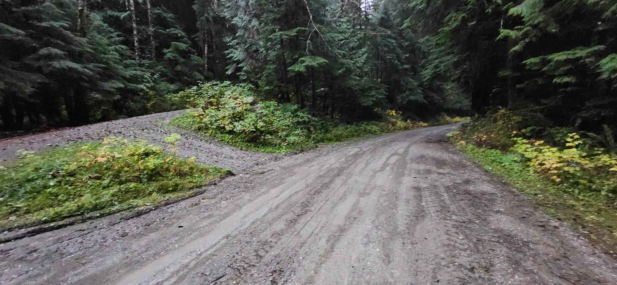
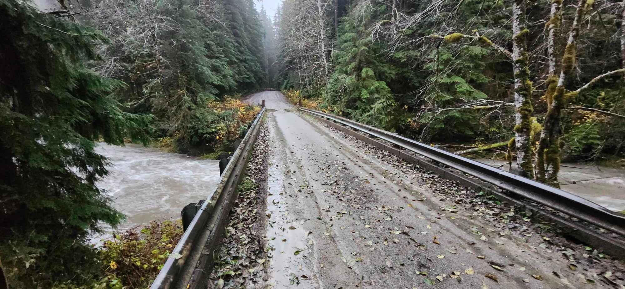
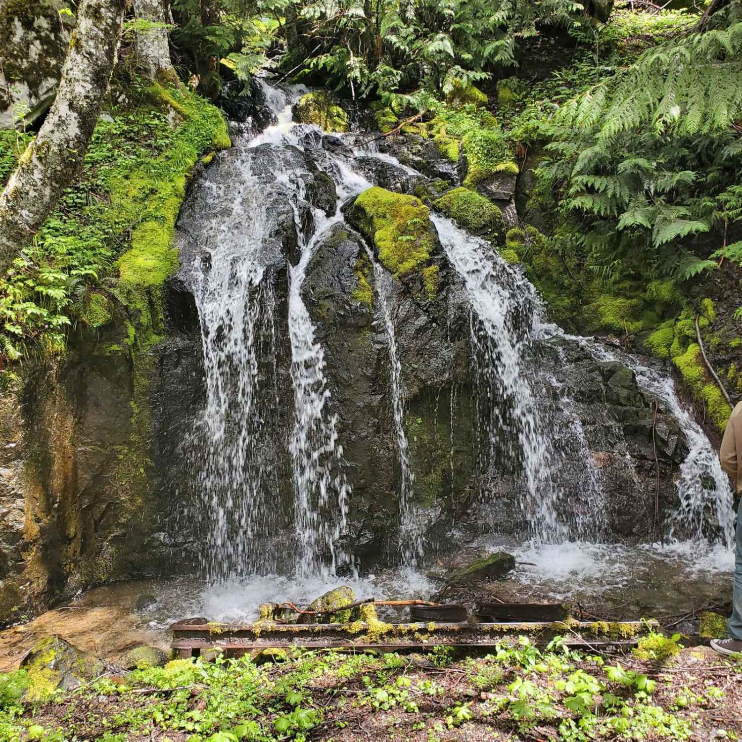
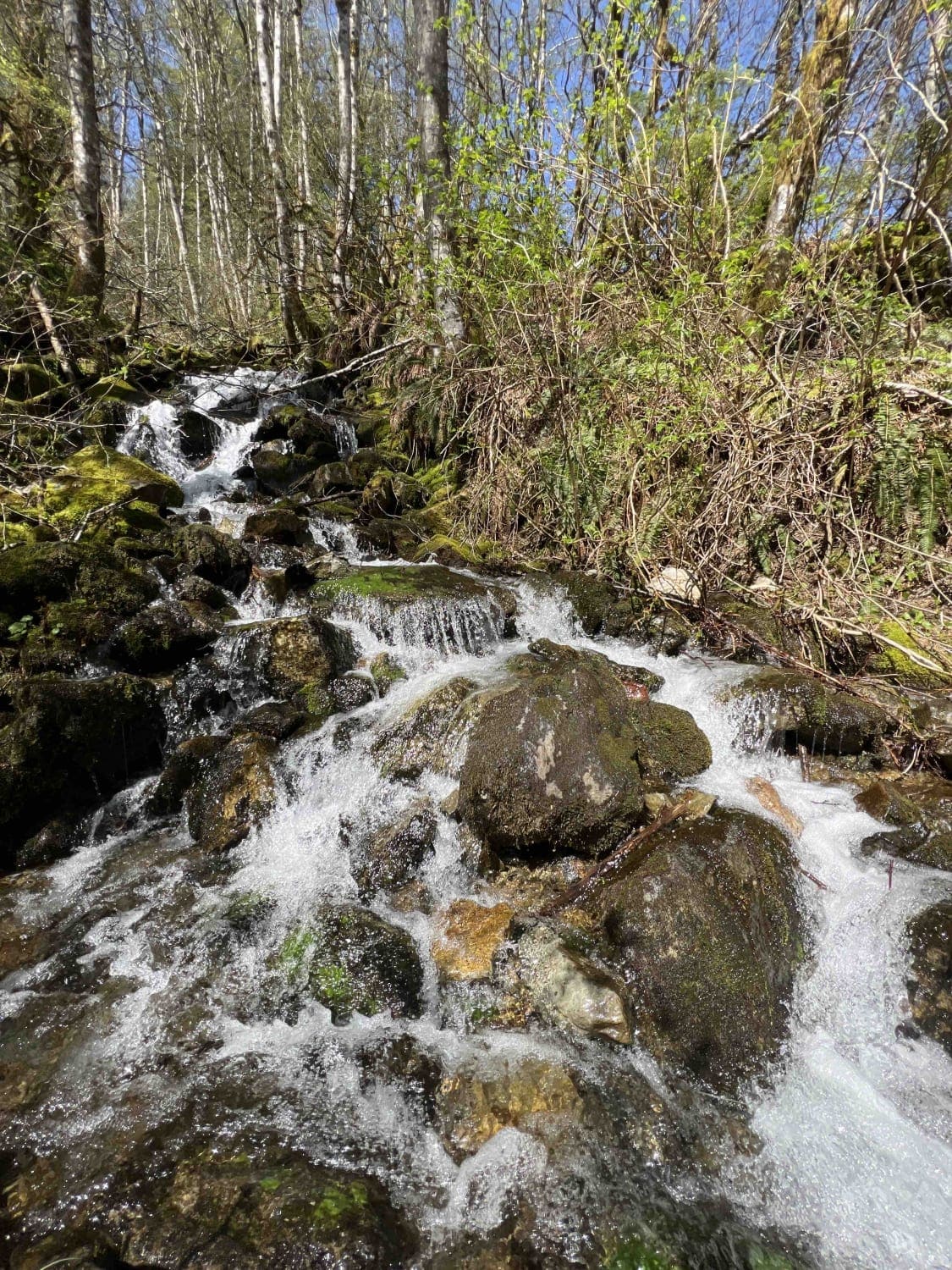
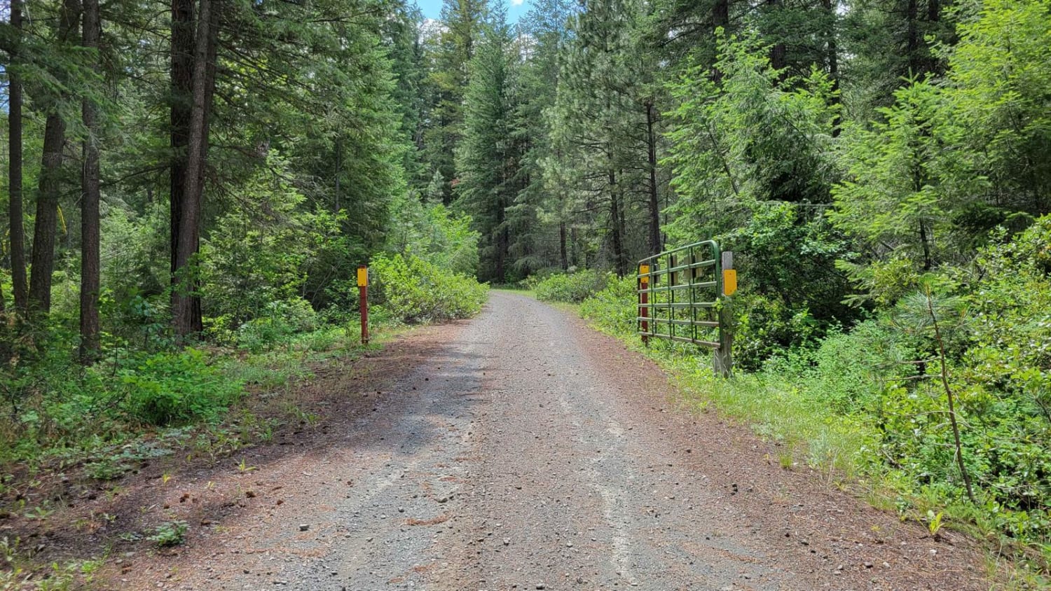
Trail Overview
The North Fork Stilly is an 8-mile out-and-back gravel and dirt road located 7 miles Northwest of Darrington. It winds its way around the Northwest side of North Mountain. There are plenty of pull-offs and turnarounds if needed. 3 miles up is a nice camp spot right off the road, next to the river, big enough for two full-size rigs. This trail was scouted on November 1, 2025, during heavy rain. At approximately eight miles, a washout has removed the original road, but a bypass to the right provides an alternate route. The bypass was not attempted at the time due to the wet conditions.
Photos of North Fork Stilly Road
Difficulty
This trail is easy to navigate and manageable for full-size SUVs. The route includes a washout at mile 8 with an optional small water crossing to the right, which may require careful driving depending on conditions.
Status Reports
North Fork Stilly Road can be accessed by the following ride types:
- High-Clearance 4x4
- SUV
North Fork Stilly Road Map
Popular Trails
Signal Peak
Newby Creek (4350100)
The onX Offroad Difference
onX Offroad combines trail photos, descriptions, difficulty ratings, width restrictions, seasonality, and more in a user-friendly interface. Available on all devices, with offline access and full compatibility with CarPlay and Android Auto. Discover what you’re missing today!