Radar Dome Scenic Route
Total Miles
12.4
Technical Rating
Best Time
Summer, Fall
Trail Type
High-Clearance 4x4 Trail
Accessible By
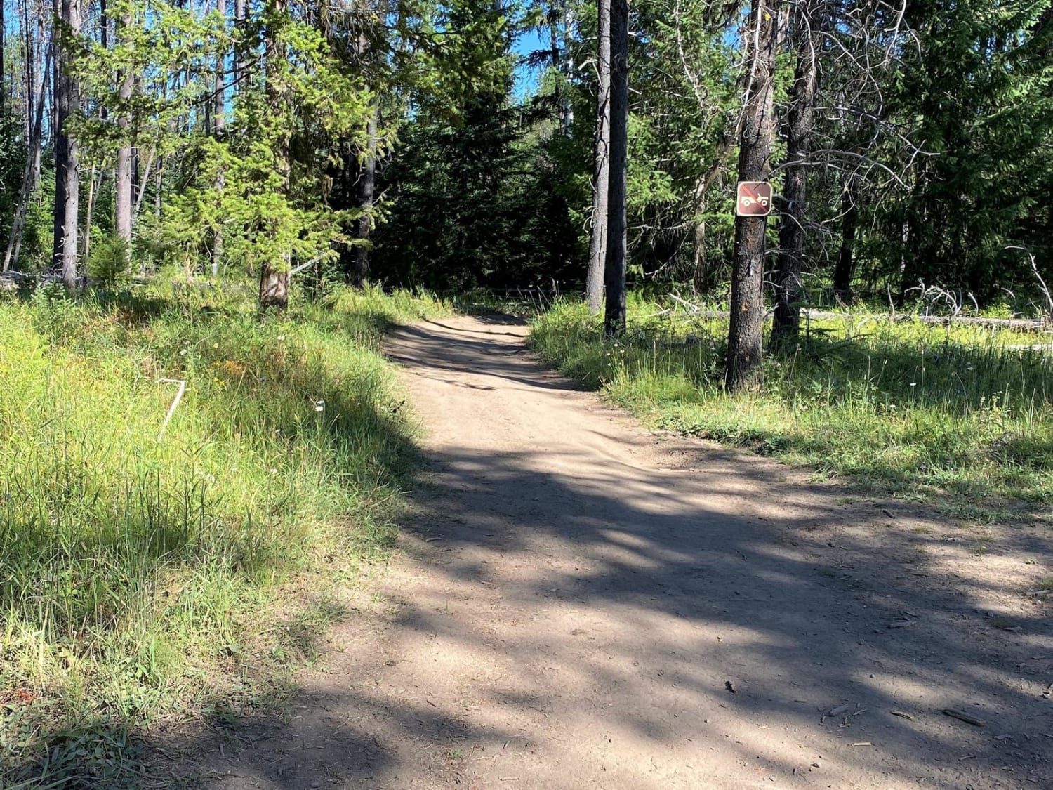
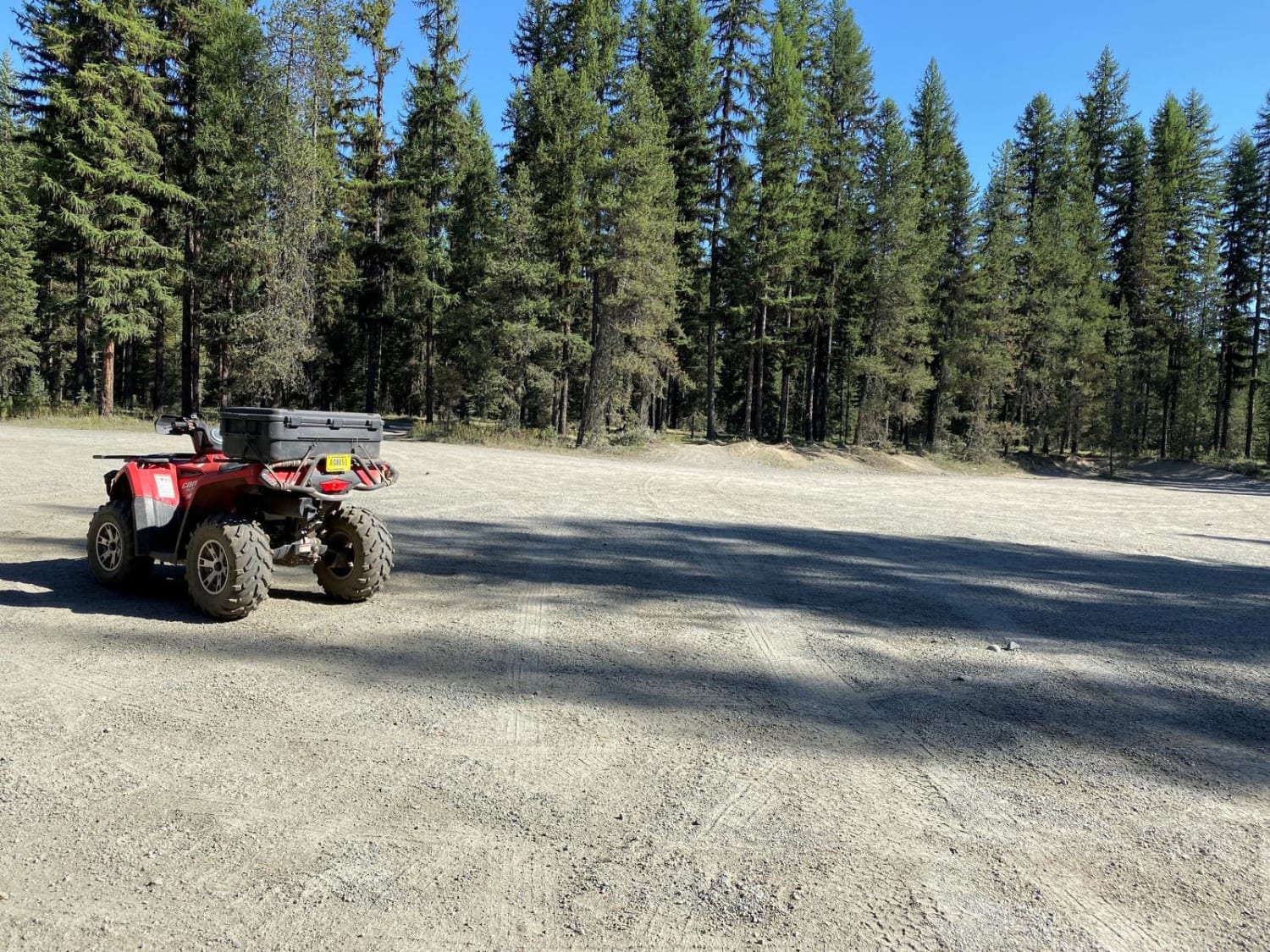
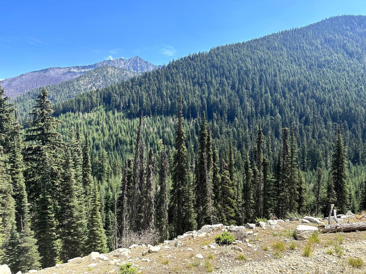
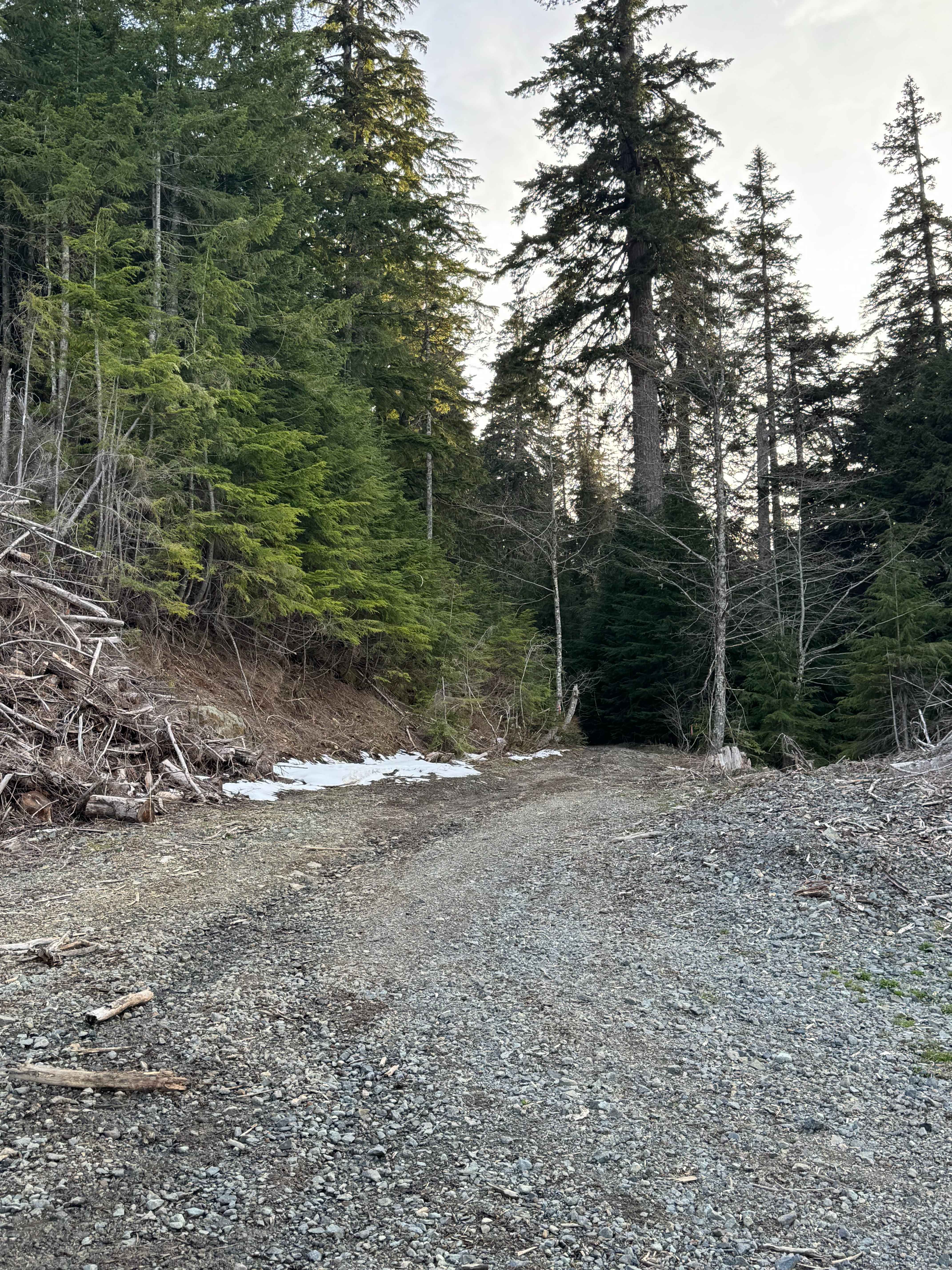
Trail Overview
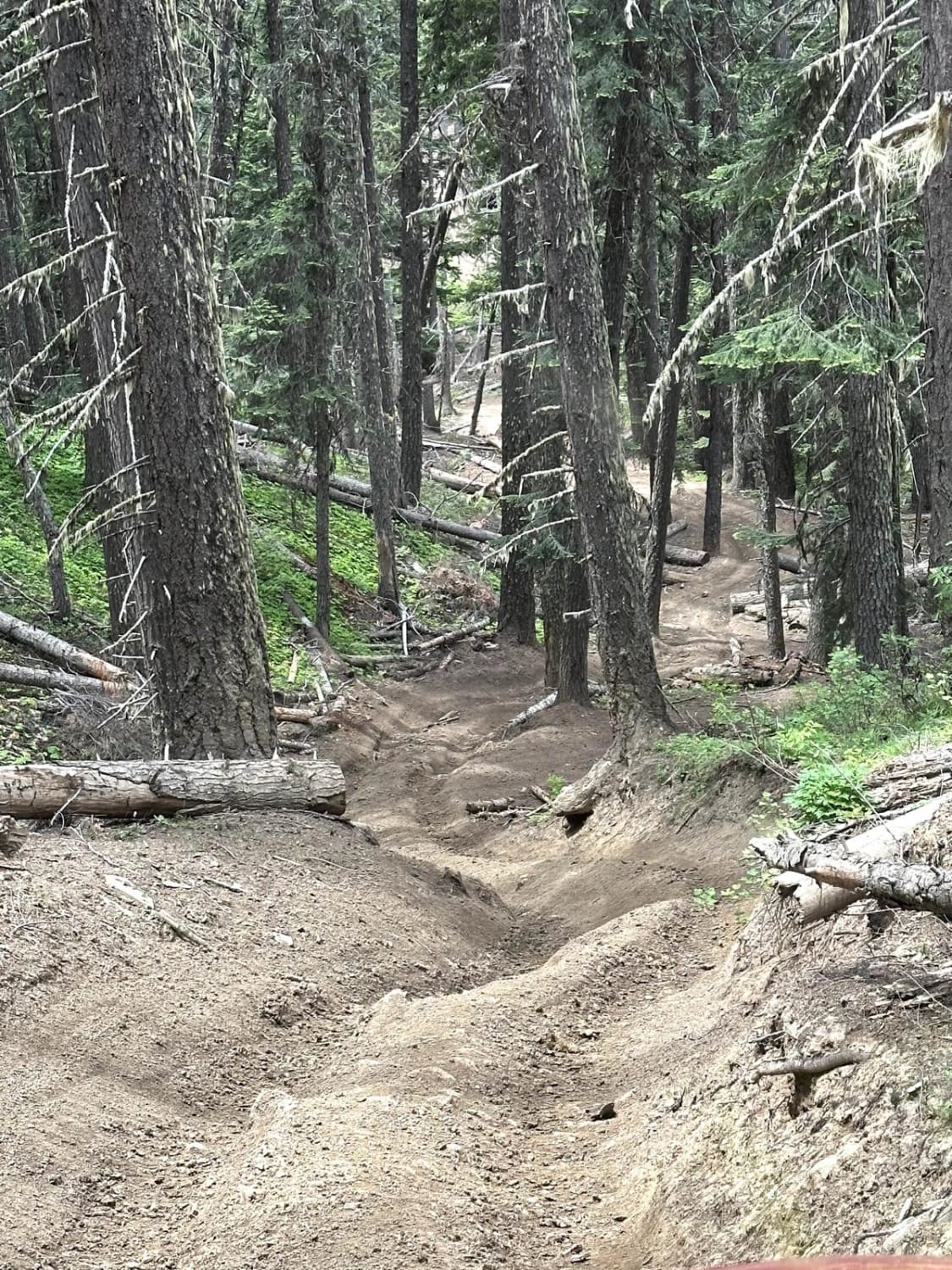
This easy route follows shady, forested roads through Sherry Creek, Flodelle Creek and Tacoma Creek areas up to the summit of Radar Dome. The old radar site is an interesting area used for paintball wars, plus it has great views in all directions. This route returns on the same roads, but you can also follow access roads and social trails along Hwy 20 for one part of this route to make an entire loop. Flodelle Creek and Sherry Creek campgrounds are great for OHV enthusiasts if you'd like to explore other trails in the area.
Photos of Radar Dome Scenic Route
Difficulty
There are no major obstacles, just rutted roads and rocks. It can be quite muddy in the wet months.
History
The old USAF Radar Dome site was an early warning site near the Canadian border in the Cold War.
Status Reports
Radar Dome Scenic Route can be accessed by the following ride types:
- High-Clearance 4x4
- ATV (50")
- Dirt Bike
Radar Dome Scenic Route Map
Popular Trails
Snowy Creek Trailhead
Newaukum Lake Road - FS 7100115

Hard To Get To Ridge
Upper Kaner Ridge Trail
The onX Offroad Difference
onX Offroad combines trail photos, descriptions, difficulty ratings, width restrictions, seasonality, and more in a user-friendly interface. Available on all devices, with offline access and full compatibility with CarPlay and Android Auto. Discover what you’re missing today!