Lone Tree Mountain
Total Miles
8.8
Technical Rating
Best Time
Spring, Summer, Fall, Winter
Trail Type
Full-Width Road
Accessible By
Trail Overview
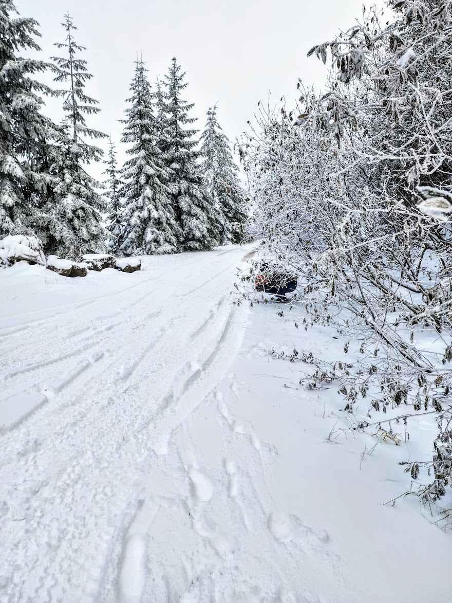
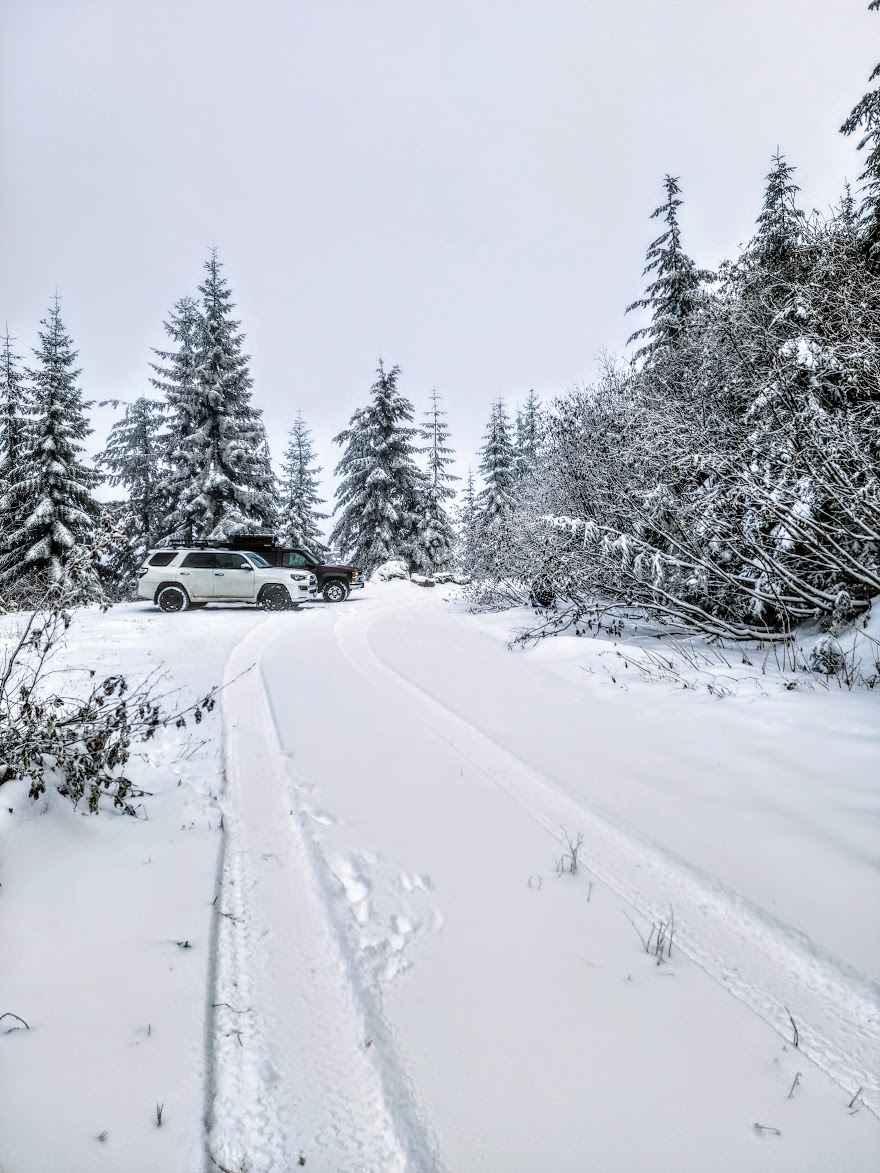
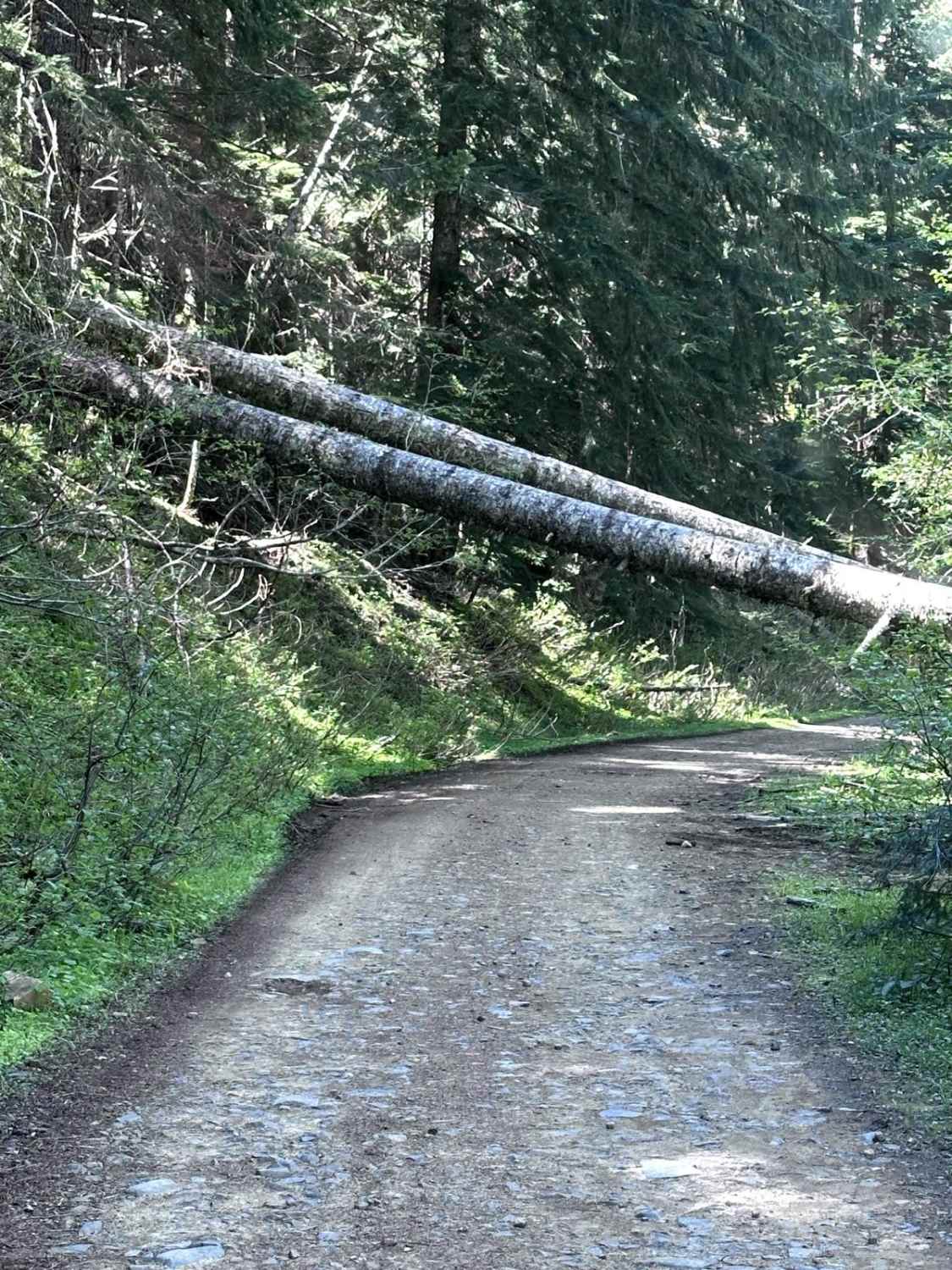
Within the Gifford Pinchot National Forest, this route begins at Forest Road 23, climbing 2,600 feet. This route is a beautiful drive with lush forests along the climb that are somewhat overgrown, especially in late fall. It ends at a landslide with very large boulders and trees blocking the road any further. At this point, the road is wide enough to turn around and can be used as a parking lot to continue the hike to the top.
Photos of Lone Tree Mountain
Difficulty
This is an easy route with no obstacles to speak of. In winter, snow on the trail makes it narrow and difficult to pass. Expect pinstripes from overgrown brush along the sides.
Status Reports
Lone Tree Mountain can be accessed by the following ride types:
- High-Clearance 4x4
- SUV
- SxS (60")
- ATV (50")
- Dirt Bike
Lone Tree Mountain Map
Popular Trails
Poch Peak Trail
Mainline Extension


Tunnel Creek Trail
The onX Offroad Difference
onX Offroad combines trail photos, descriptions, difficulty ratings, width restrictions, seasonality, and more in a user-friendly interface. Available on all devices, with offline access and full compatibility with CarPlay and Android Auto. Discover what you’re missing today!