Rainy Creek Trail
Total Miles
13.1
Technical Rating
Best Time
Spring, Summer, Fall
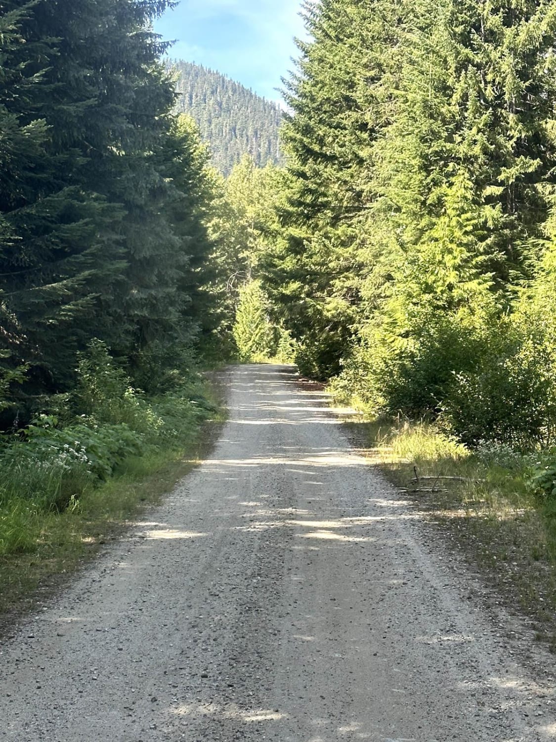
Trail Type
Full-Width Road
Accessible By
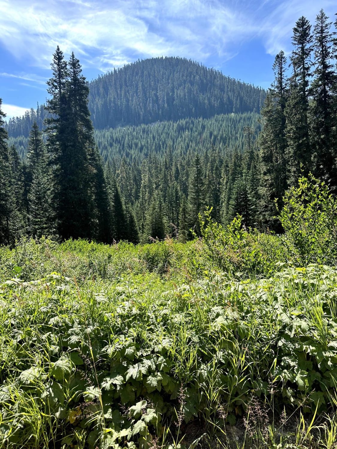
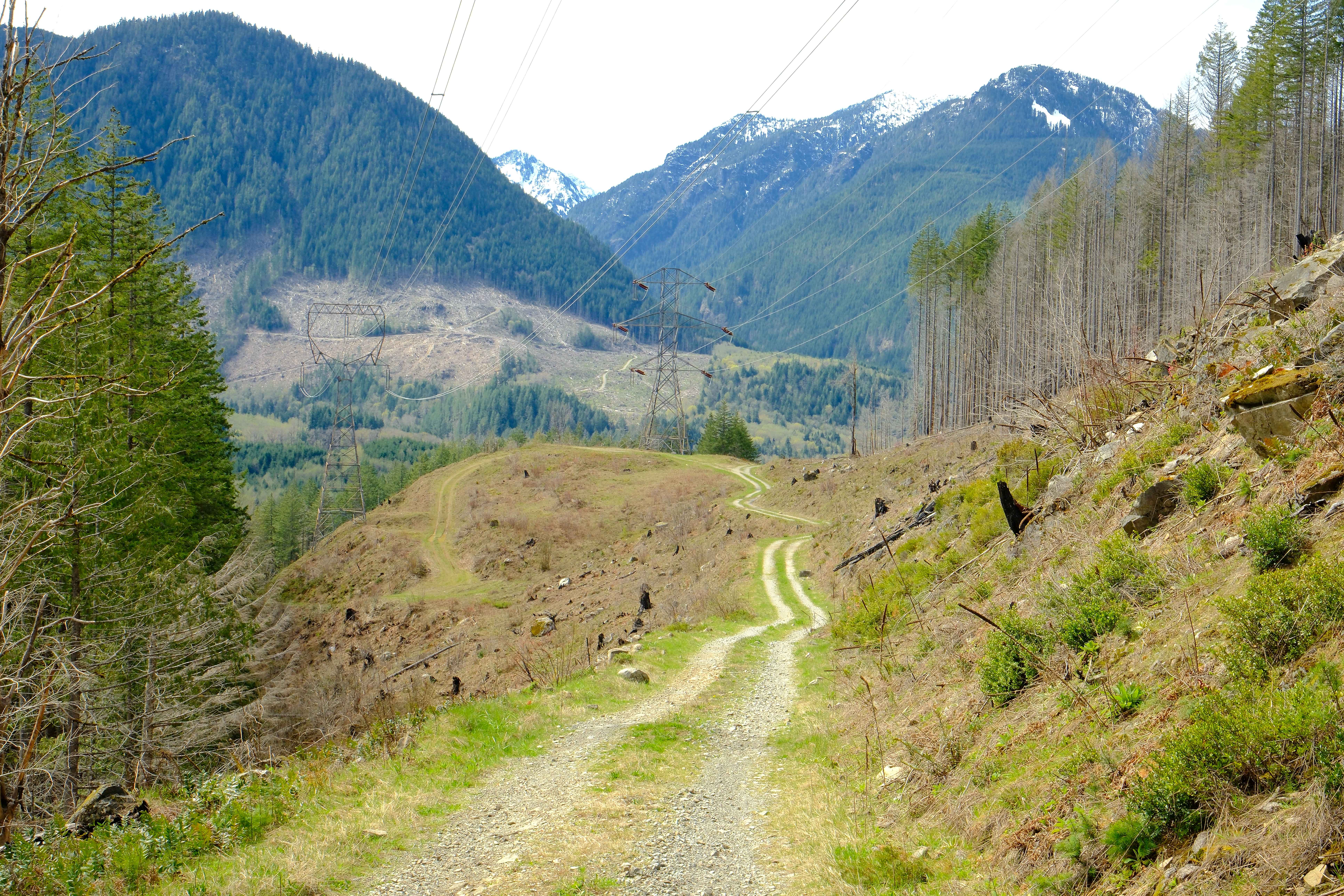
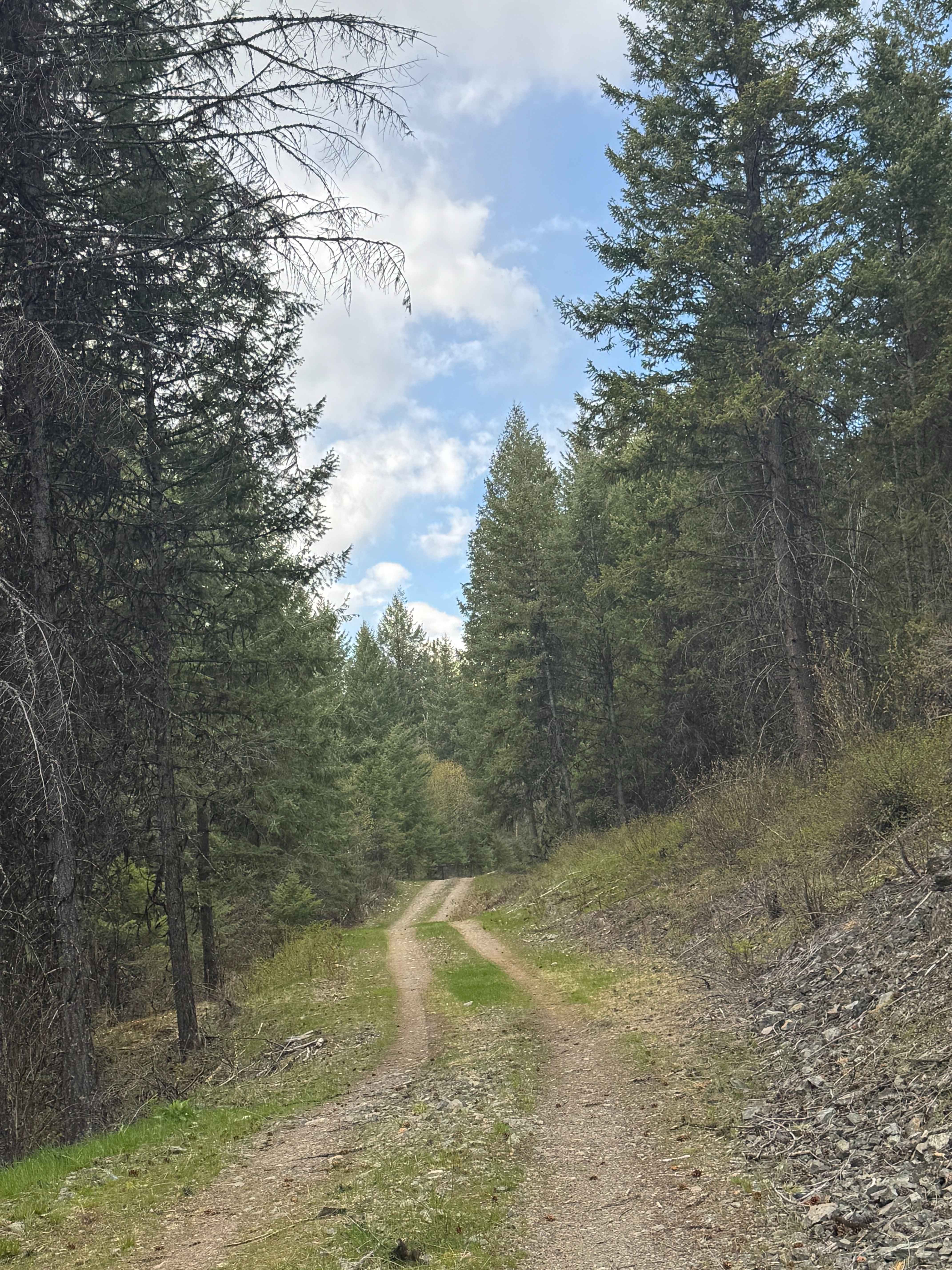
Trail Overview
This 13.8-mile point-to-point trail takes you from Highway 2 into the Wenatchee River Valley. At approximately 3 miles into the trail, there is a very popular hiking trailhead that goes up to Valhalla Lake. After 4.4 miles, you crest the high point of the pass. There is a small mountain pond here and great views of the surrounding mountains. Then it's a beautiful drive down into the Wenatchee River Valley.
Photos of Rainy Creek Trail
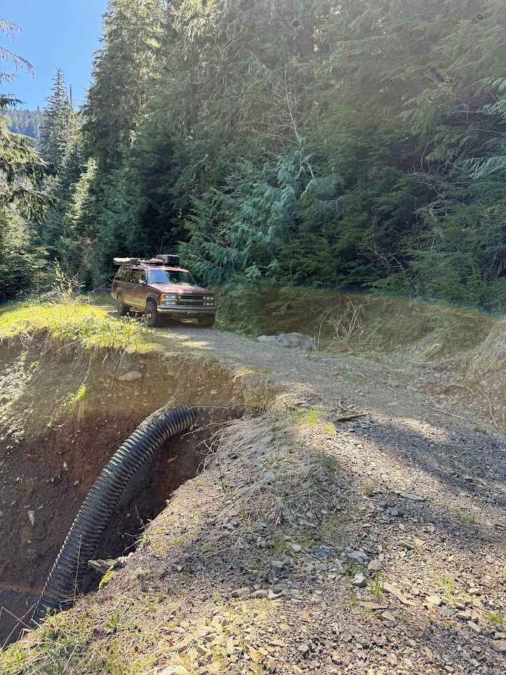
Difficulty
There are long portions of single-vehicle trail with mud holes and washes less than 12 inches in depth.
Status Reports
Rainy Creek Trail can be accessed by the following ride types:
- High-Clearance 4x4
- SUV
- SxS (60")
- ATV (50")
- Dirt Bike
Rainy Creek Trail Map
Popular Trails
Deep Creek / Snider Ridge 3067
Electric Hills - FS 6512105
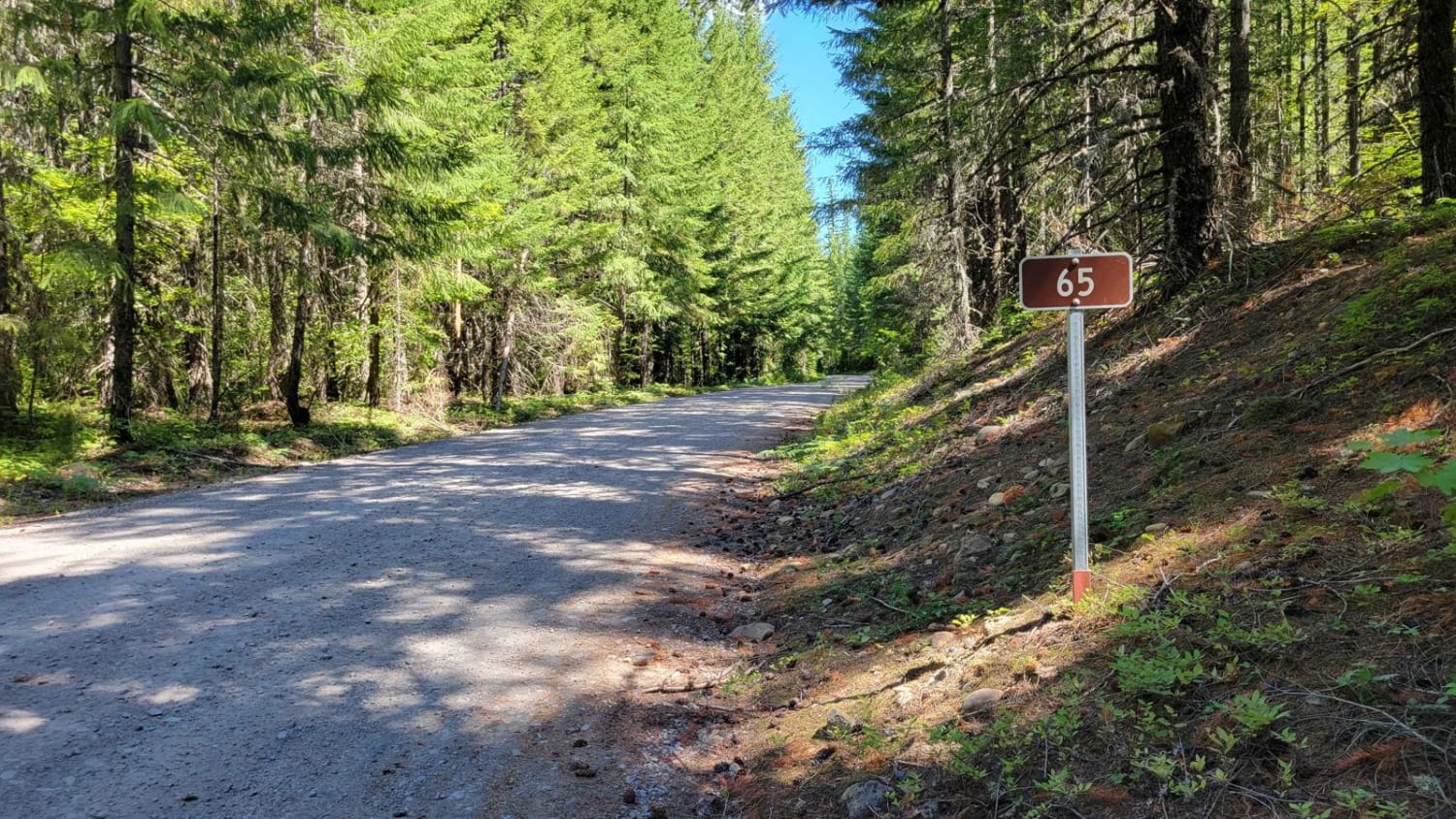
FR 65 - Panther Creek
The onX Offroad Difference
onX Offroad combines trail photos, descriptions, difficulty ratings, width restrictions, seasonality, and more in a user-friendly interface. Available on all devices, with offline access and full compatibility with CarPlay and Android Auto. Discover what you’re missing today!