Off-Road Trails in Kentucky
Discover off-road trails in Kentucky
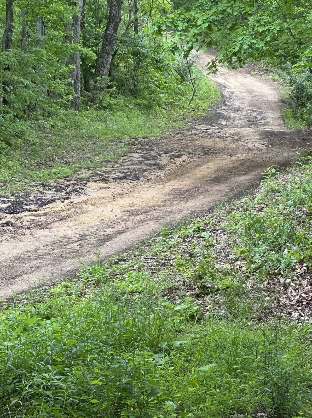
Learn more about Sand Lick Road
Sand Lick Road
Total Miles
3.6
Tech Rating
Moderate
Best Time
Summer, Spring, Fall, Winter
Learn more about Scout Trail - FS 141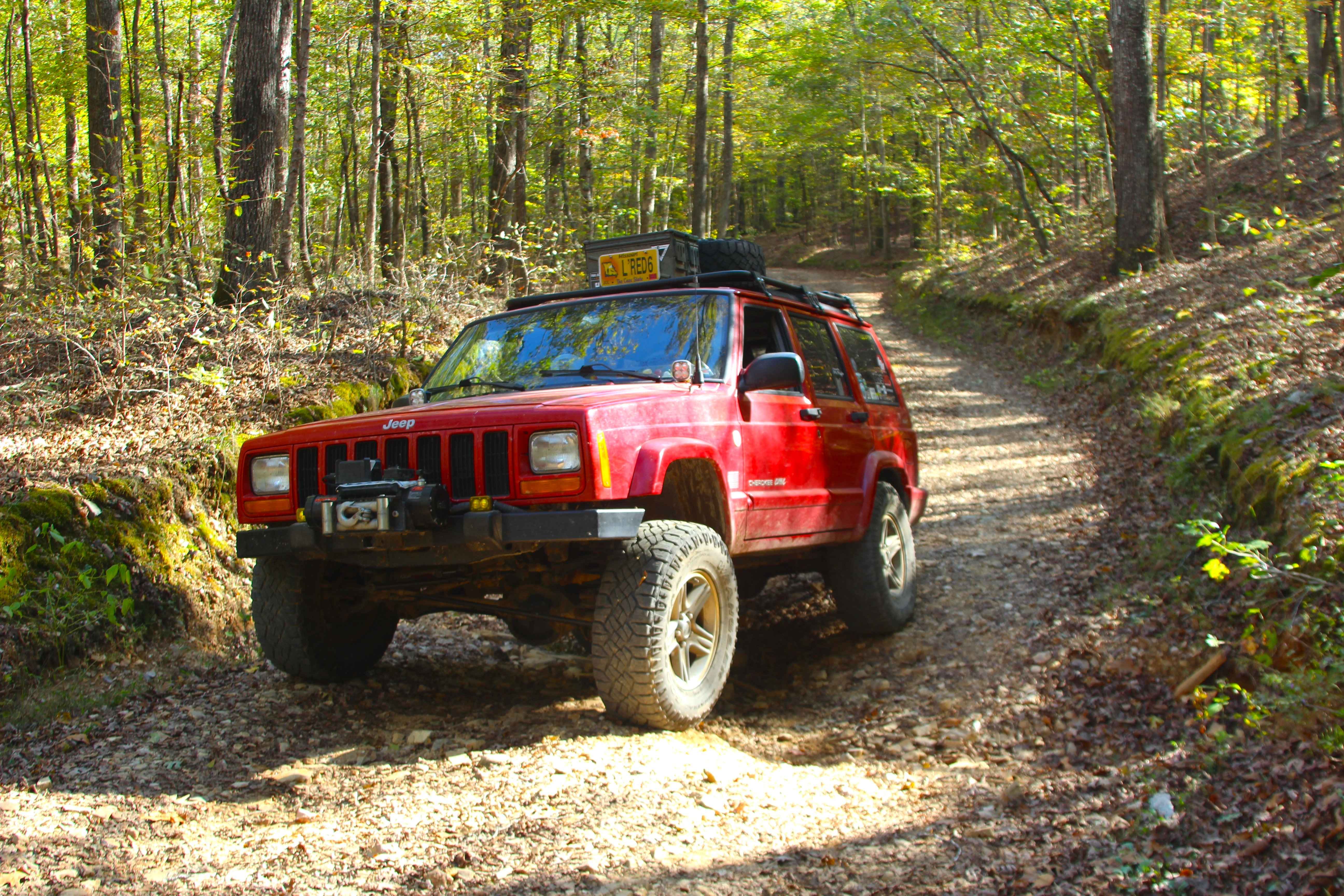
Scout Trail - FS 141
Total Miles
5.8
Tech Rating
Easy
Best Time
Spring, Summer, Fall, Winter
Learn more about Shanklin Creek - FS 158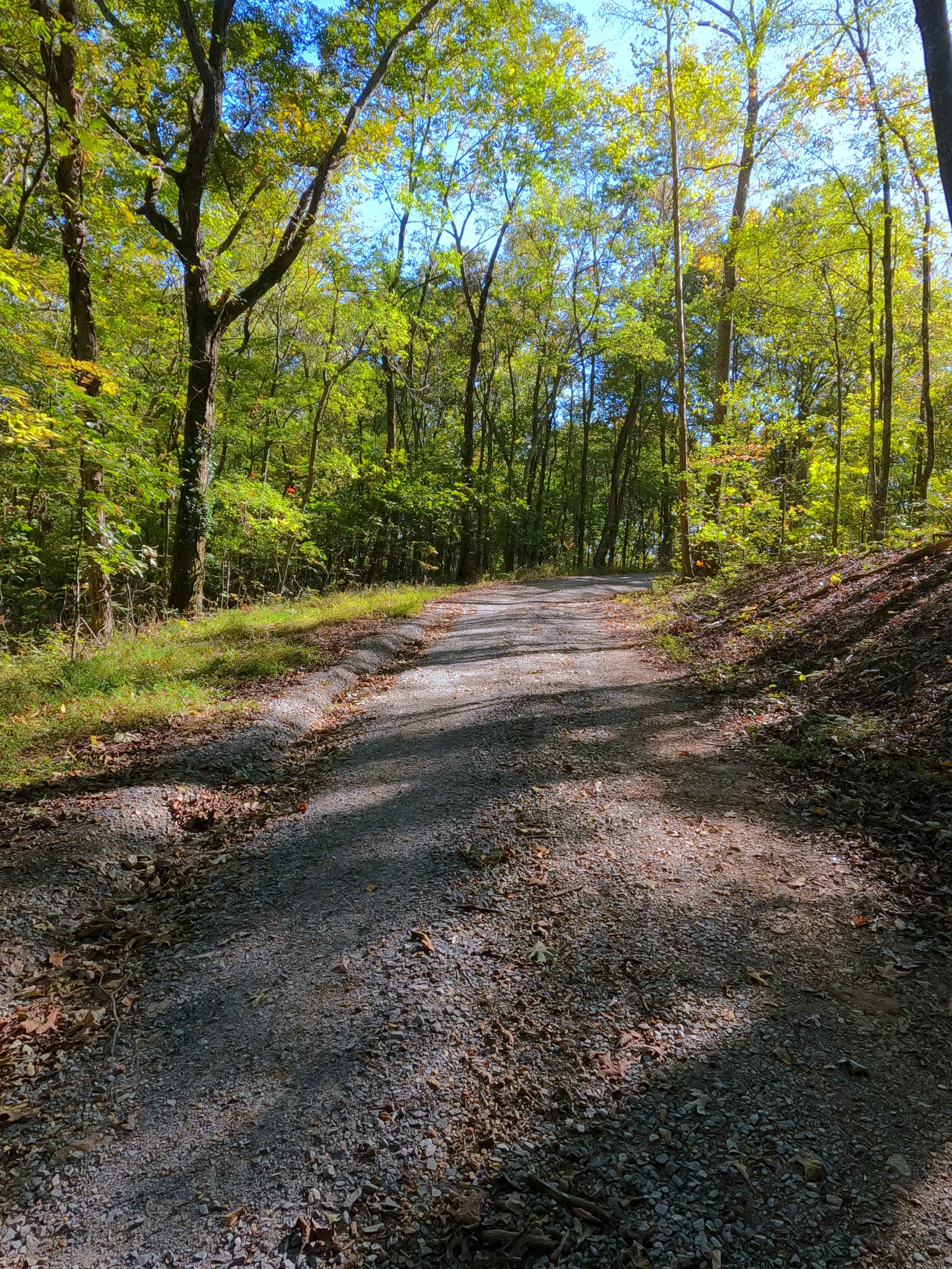
Shanklin Creek - FS 158
Total Miles
0.3
Tech Rating
Easy
Best Time
Spring, Summer, Fall, Winter
Learn more about Shaw Branch - FS 154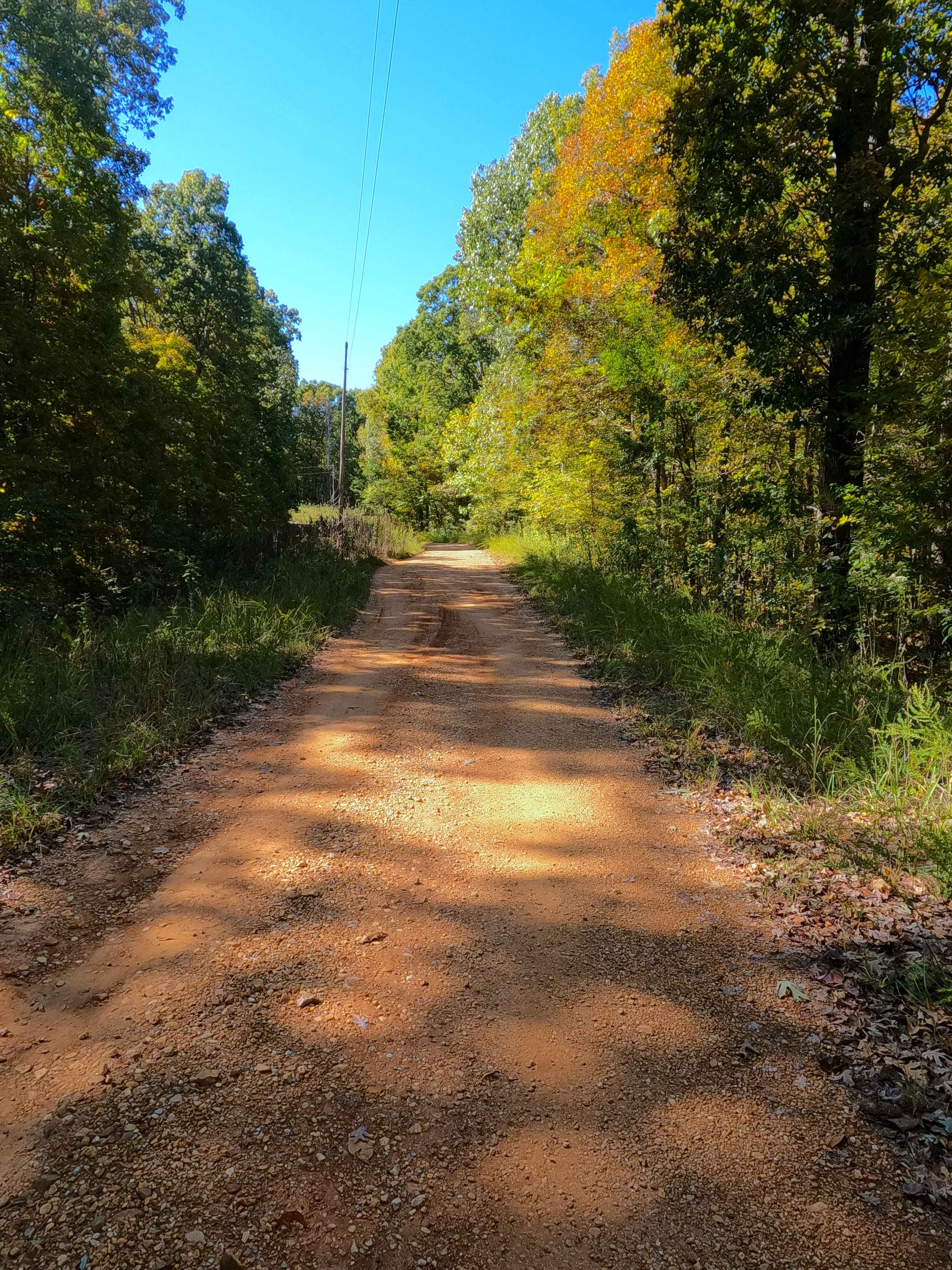
Shaw Branch - FS 154
Total Miles
1.4
Tech Rating
Easy
Best Time
Spring, Summer, Fall, Winter
Learn more about Silo Trail - 5 to B Road
Silo Trail - 5 to B Road
Total Miles
1.9
Tech Rating
Moderate
Best Time
Spring, Summer, Fall, Winter
Learn more about Silver Creek - Playground Area
Silver Creek - Playground Area
Total Miles
2.0
Tech Rating
Easy
Best Time
Spring, Summer, Fall, Winter
Learn more about Simon Hill Road
Simon Hill Road
Total Miles
0.8
Tech Rating
Easy
Best Time
Summer, Fall, Spring
Learn more about Sinking Creek
Sinking Creek
Total Miles
1.9
Tech Rating
Moderate
Best Time
Spring, Summer, Fall
Learn more about Slash Road
Slash Road
Total Miles
1.0
Tech Rating
Easy
Best Time
Spring, Summer, Fall, Winter
Learn more about Smith Bay Road - FS 116
Smith Bay Road - FS 116
Total Miles
1.3
Tech Rating
Easy
Best Time
Spring, Summer, Fall, Winter
Learn more about Smith Cemetery Road - FS 120
Smith Cemetery Road - FS 120
Total Miles
1.6
Tech Rating
Easy
Best Time
Spring, Summer, Fall, Winter
Learn more about Smith Cemetery Spur Road FS 120A/120B
Smith Cemetery Spur Road FS 120A/120B
Total Miles
0.4
Tech Rating
Easy
Best Time
Spring, Summer, Fall, Winter
Learn more about Sock It To It
Sock It To It
Total Miles
0.2
Tech Rating
Extreme
Best Time
Spring, Summer, Fall, Winter
Learn more about Spring Road - FS 155
Spring Road - FS 155
Total Miles
1.0
Tech Rating
Easy
Best Time
Spring, Summer, Fall, Winter
Learn more about Stephens Chapel Road - FSR 415
Stephens Chapel Road - FSR 415
Total Miles
1.9
Tech Rating
Easy
Best Time
Spring, Summer, Fall
Learn more about Stephens Knob
Stephens Knob
Total Miles
7.8
Tech Rating
Easy
Best Time
Winter, Summer, Fall
Learn more about Stone Gap Road
Stone Gap Road
Total Miles
1.2
Tech Rating
Easy
Best Time
Spring, Summer, Fall, Winter
Learn more about Sugar Creek - FS 318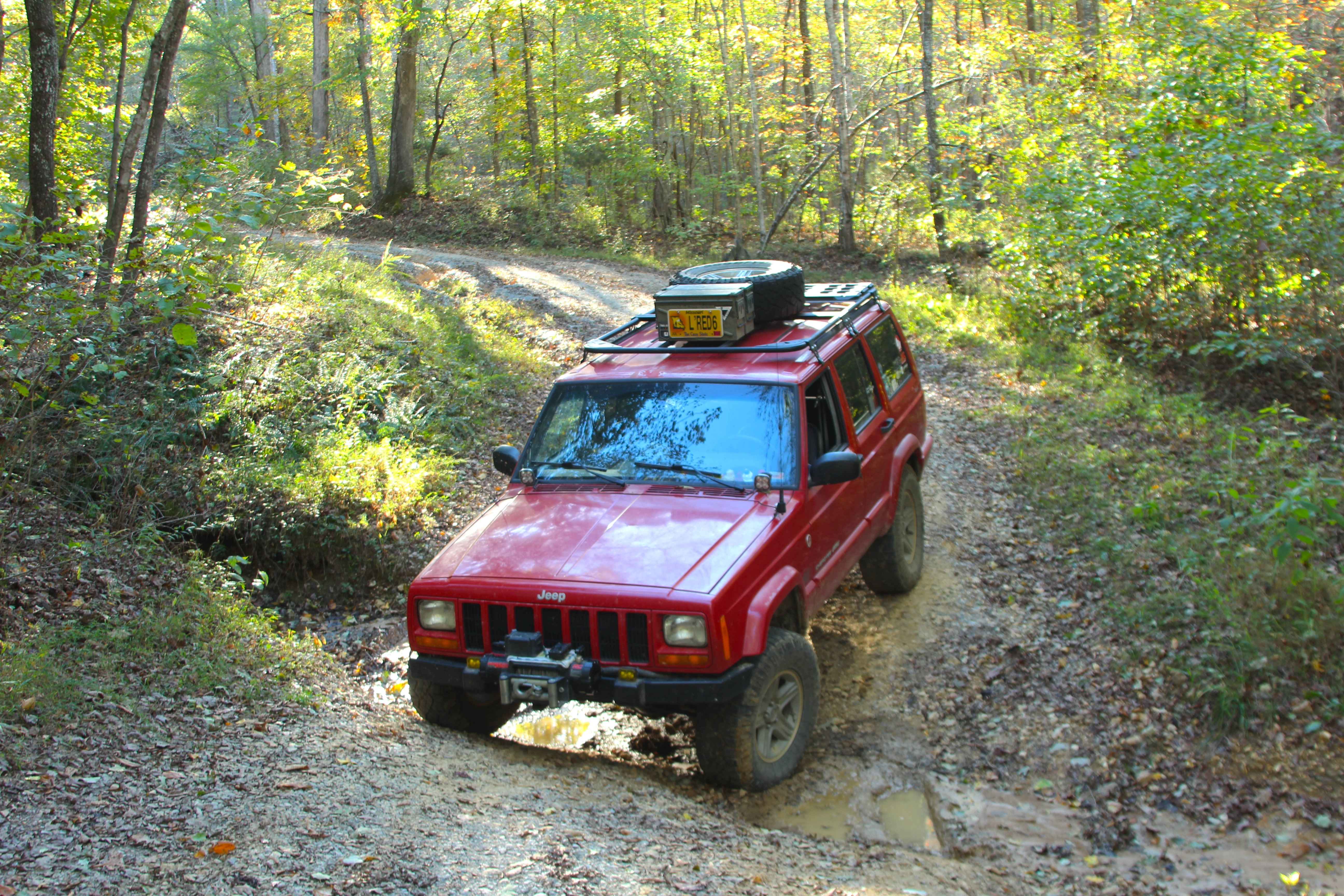
Sugar Creek - FS 318
Total Miles
2.1
Tech Rating
Moderate
Best Time
Spring, Summer, Fall, Winter
ATV trails in Kentucky
Learn more about 1 to 2 Road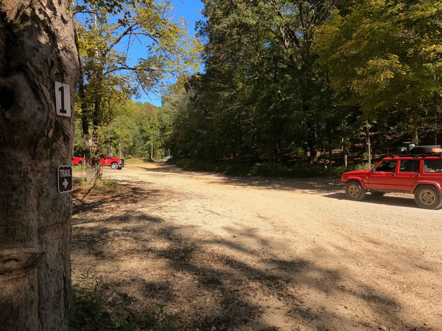
1 to 2 Road
Total Miles
1.1
Tech Rating
Easy
Best Time
Spring, Summer, Fall, Winter
UTV/side-by-side trails in Kentucky
Learn more about 1 to 2 Road
1 to 2 Road
Total Miles
1.1
Tech Rating
Easy
Best Time
Spring, Summer, Fall, Winter
The onX Offroad Difference
onX Offroad combines trail photos, descriptions, difficulty ratings, width restrictions, seasonality, and more in a user-friendly interface. Available on all devices, with offline access and full compatibility with CarPlay and Android Auto. Discover what you’re missing today!